Reckenberg Roman Watchtower: A Roman Frontier Site near Neuss
Site at a Glance
- Popularity
- Low
- Country
- Germany
- Primary era
- Classical
- Eras represented
- Classical
- Civilizations
- Roman
- Site type
- Military
- Remains
- Fort
On this page8 sections
History
The Reckenberg Roman Watchtower was part of a Roman frontier complex near Neuss, Germany, on the Lower Germanic Limes, the Roman border along the lower Rhine. Its associated fort began as a timber-and-earth structure in the first century CE and was later rebuilt in stone, probably in the late first or early second century. The pairing of a small fort and watchtower was unusual along this frontier, and their elevated positions allowed a small force to monitor movement by land and river.
Roman military and settlement phases
The watchtower’s construction date is uncertain, though it was probably built around the same time as the fort. The stone fort may have remained in use until the middle of the third century. A Roman settlement and cemetery were also associated with the military site. The cemetery was used from the late first century through the first half of the third century. Its finds helped estimate the settlement’s chronology, although objects found beside the busy Roman road may have arrived after the settlement was abandoned.
Archaeology and protection
Archaeologist Constantin Koenen uncovered the tower foundations around 1900, and a reconstruction was built near the original location in 1991. On 27 July 2021, the Lower Germanic Limes, including sites in Neuss, was inscribed on the UNESCO World Heritage List. The Roman remains at Reckberg are protected as buried monuments under North Rhine-Westphalia’s monument-protection law.
Remains
Setting and layout
The fort and watchtower occupied separate sand dunes formed by the Rhine, at the edge of the river’s lower terrace and about three kilometres east of Novaesium, the Roman name for Neuss. The dunes lay between the river and the Roman road running south from Neuss. The fort stood on the western slope of the Second Reckberg; the tower was about 200 metres to its northwest, on the northern slope of the First Reckberg. About 100 metres west of the fort, south of the road, lay a settlement area approximately 50 metres across. Its cemetery was a further 50 metres away, on the eastern slope of the First Reckberg.
Military structures
Fort
The stone fort had a nearly square plan, measuring 33 by 34.5 metres. Its defensive wall was 1.9 metres thick and had rounded corners. The corner towers were 5.4 metres deep, with their side walls set inward from the wall line. A simply constructed gate on the south-southwestern side faced the Roman road; its passage was three metres wide, and its sides also turned inward.
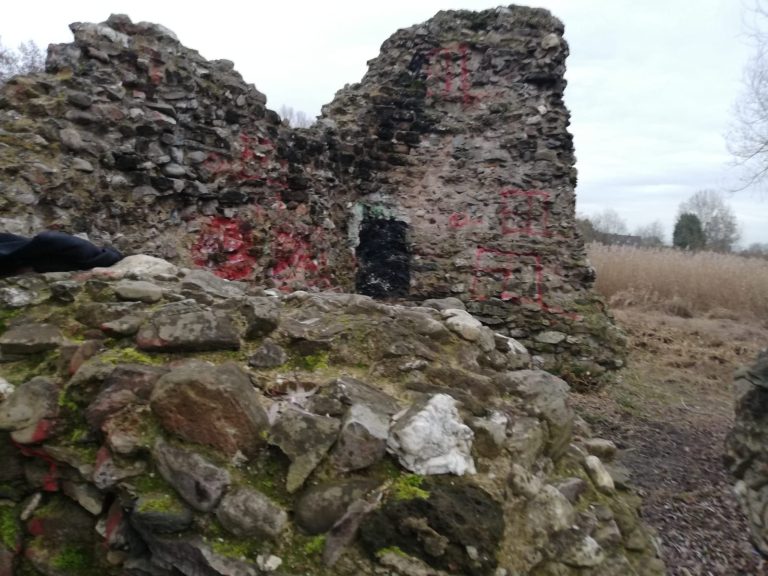
Outside the wall, a defensive ditch with two V-shaped channels measured 6.5 metres across and, when excavated, reached 4.25 metres below ground level. A smaller ditch along the eastern side probably drained a patrol path. Another two-channel V-shaped ditch, seven metres wide and found just beyond the fort, probably belonged to the earlier timber-and-earth fort. The fort survives underground as a buried monument.
Watchtower
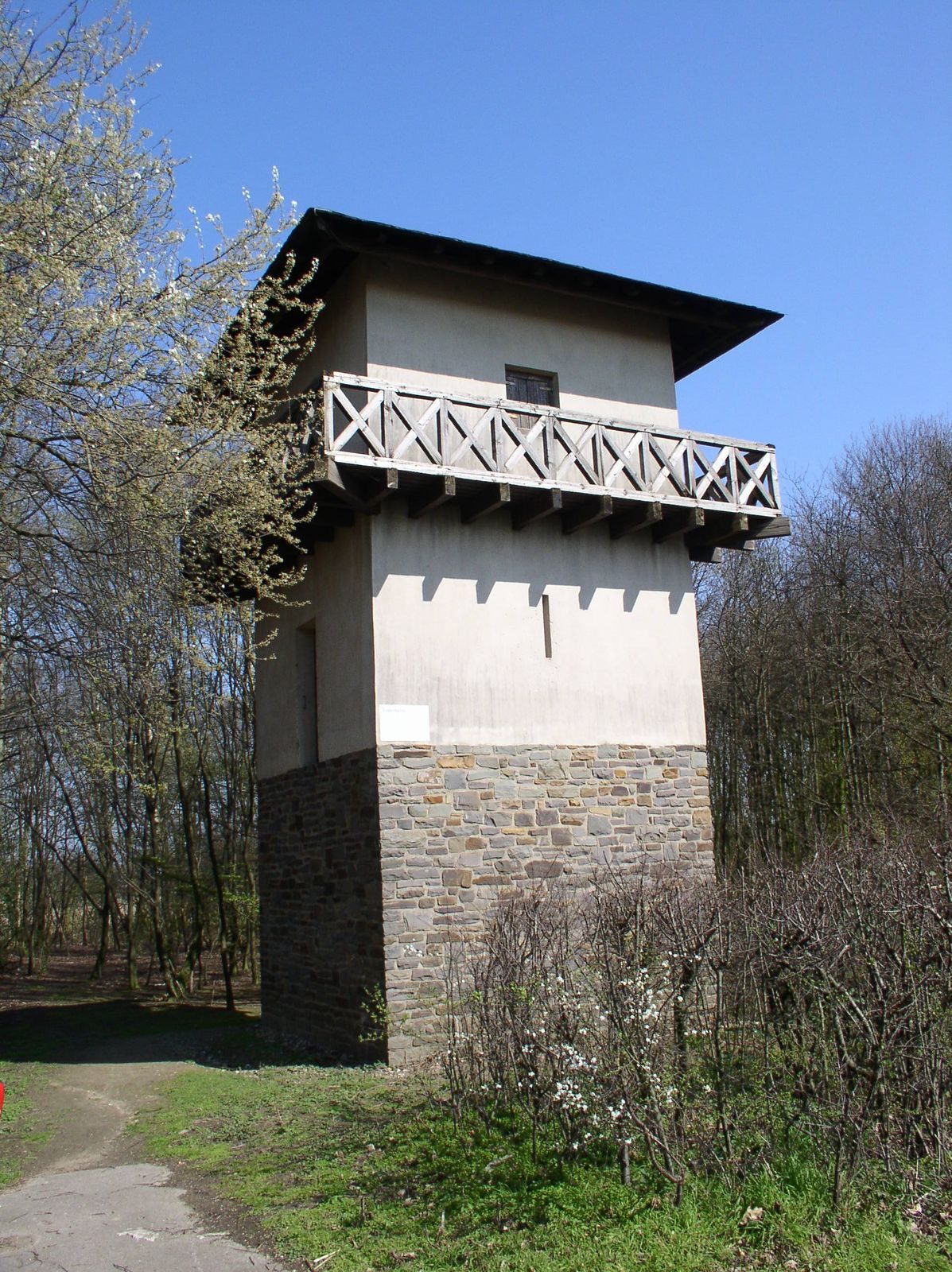
The tower stood on square sandstone foundations measuring about five metres on each side and one metre thick. A timber-framed structure rose above them. A reconstructed tower now stands near the original site in woodland east of Grimlinghausen, within cultivated land between the Neuss districts of Grimlinghausen and Uedesheim.