Mission São Lourenço Mártir: A Jesuit Reduction in Brazil
Site at a Glance
- Popularity
- Medium
- Country
- Brazil
- Primary era
- Early Modern
- Eras represented
- Early Modern
- Civilizations
- Guaraní, Spanish
- Site type
- City
On this page11 sections
History
Mission São Lourenço Mártir is the archaeological remains of a Jesuit reduction, a settlement where Indigenous communities lived under the missionary organization of the Catholic Society of Jesus. It lies in São Lourenço das Missões, a district of São Luiz Gonzaga in Rio Grande do Sul, Brazil. Founded in 1690, it became one of the largest communities in the Sete Povos das Missões, a group of seven settlements established during the second phase of Jesuit activity in the region.
Early missionary activity
Jesuit missionaries began work among Indigenous peoples in the Province of Paraguay in 1609, as the Spanish Empire sought to extend its control across the Platine Basin and spread Christianity. The first mission phase in the Tape region lasted from 1626 to 1637. Indigenous resistance hindered the settlements, and missionaries left Rio Grande do Sul in 1641 after the Battle of M’Bororé, fought between Guarani forces and bandeirantes, Portuguese colonial expeditions into the interior.
Jesuits returned in 1682 and established the Sete Povos das Missões to secure territory for the Spanish Crown. São Lourenço was founded eight years later under the leadership of Father Bernardo de la Vega. Its Indigenous residents came from the Argentine reduction of Santa María la Mayor and were descendants of people who had fled Guaíra.
Growth and community life
São Lourenço’s population reached about 6,400 in 1731 and later approached 7,000. Yerba mate production and livestock raising supported the community. Jesuits encouraged yerba mate as an alternative to alcoholic drinks and organized work into specialized tasks. The reductions aimed to provide for themselves and produce a surplus. Missionaries used competitions, games, and teamwork to encourage daily labor, drawing on Guarani traditions of collective effort.
The seven communities were connected by roads and river ports and organized around cooperative life. Their development also faced opposition from landowners seeking Indigenous people for forced labor.
War, abandonment, and protection
The 1750 Treaty of Madrid, an agreement between Spain and Portugal over territorial claims in South America, required the Spanish-controlled territory of the Sete Povos das Missões to pass to Portugal, while Spain received Colonia del Sacramento. The Guarani War of 1754–1756 arose from resistance to this transfer. Jesuits opposed the treaty; in 1754, Portuguese forces fought Guarani people armed by missionaries, and Spanish troops joined the effort to enforce the agreement. The reduction was abandoned during the 1750s, and the missions were destroyed in 1756. More than 20,000 Guarani people from the region died, and Jesuit influence in southern Brazil declined.
Brazil’s National Institute of Historic and Artistic Heritage, known as IPHAN, manages the site. The ruins and settlement remains were listed by the institute in 1970; the site is federally protected and recognized as Brazilian National Heritage.
Remains
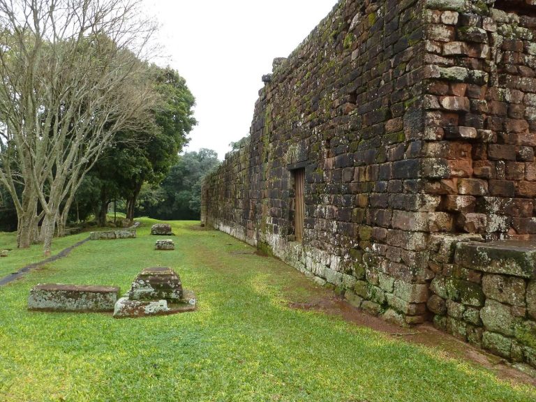
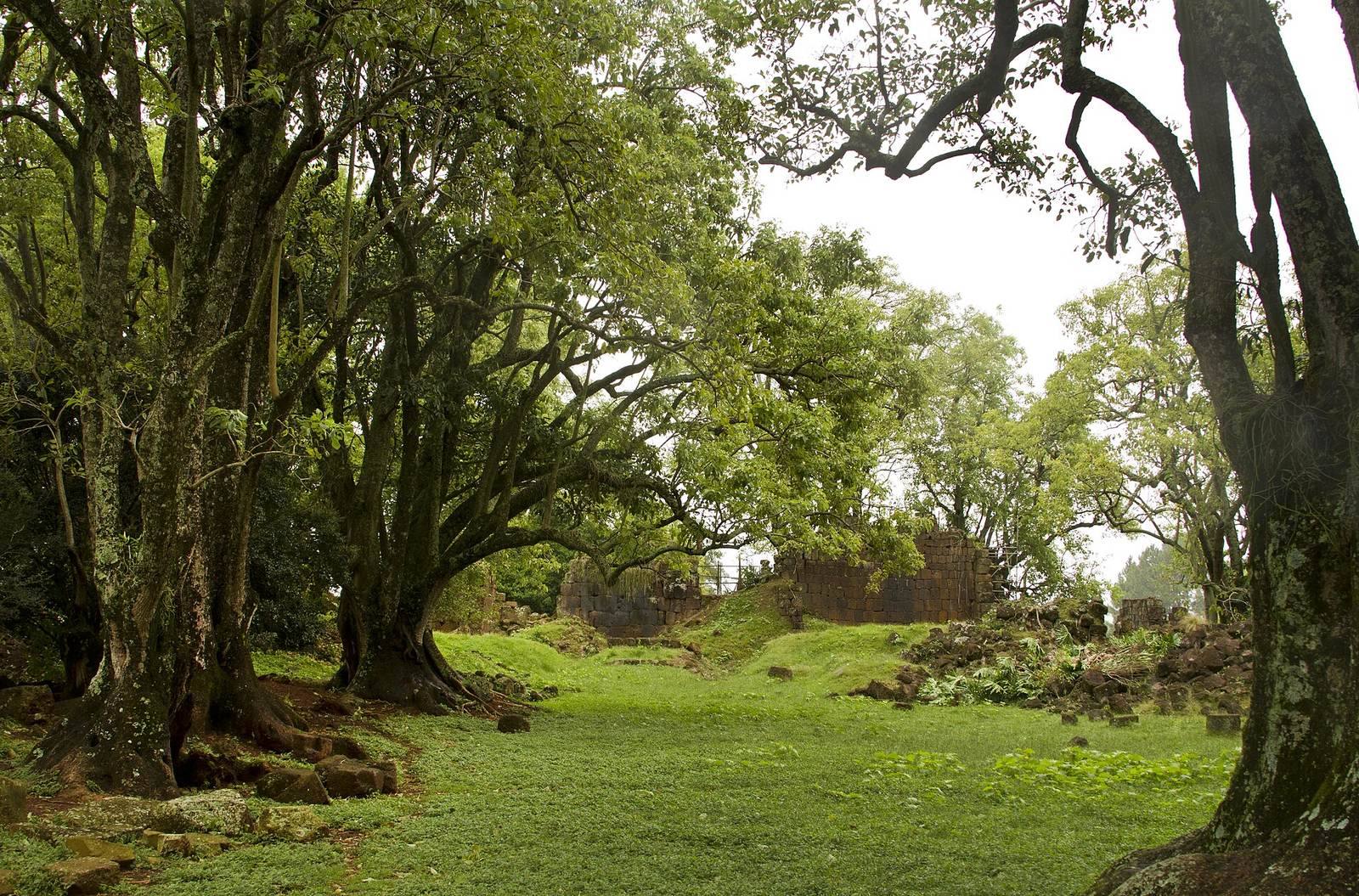
The remains preserve elements of a planned Jesuit settlement, with its principal buildings and residential blocks arranged around a church and central square. Stone construction and traces of water and sewage systems also reveal aspects of the settlement’s built infrastructure.
Settlement layout and infrastructure
Central square and housing
A main street led to the church, the settlement’s principal building, while the central square hosted military parades, religious reenactments, and festivals. Indigenous houses stood in orderly blocks around the square, arranged to allow the settlement to expand.
Community and production buildings
Community buildings stood beside the church. The priests’ residence, workshops, and school occupied one side; the cemetery and a shelter for orphans and widows stood on the other. Behind the church, the priests’ farm included vegetable plots and fruit trees. Houses and institutions had spacious interiors and large courtyards.
Facilities around the settlement included water sources, brickworks producing earth bricks and roof tiles, tanneries, reservoirs, chapels, ranches, and yerba mate groves. Water and sewage networks served the reductions. Archaeological investigations at São Lourenço also identified spaces for storing rainwater, functioning as cisterns, or water-storage tanks.
Surviving structures
Church
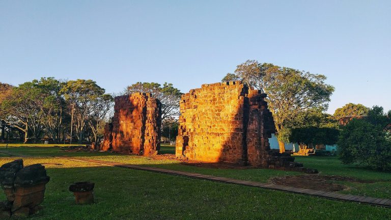
Only a few church walls remain intact. The building measured about 80 metres long and 40 metres wide, and much of its hand-carved stonework survives. The church once had five gilded altars. Gold, silver, and bronze objects also formed part of the reduction’s material wealth.
Cemetery and associated remains
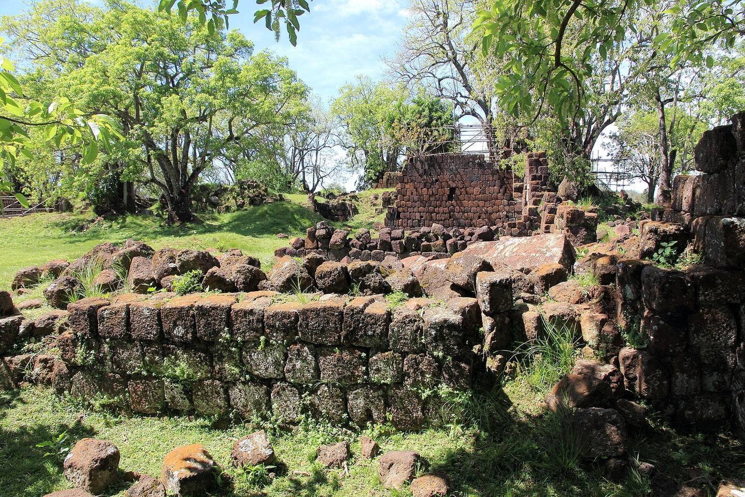
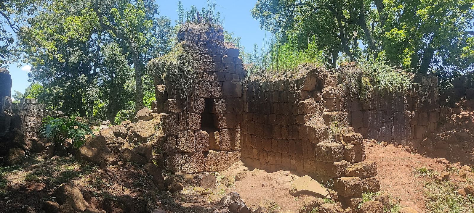
The cemetery, used by later local communities and preserved by IPHAN, is among the surviving remains. The archaeological area also includes the school and the site of the former farm. Parts of the remains are covered by vegetation.