Yarnbury Castle: An Iron Age Hillfort in Wiltshire
Site at a Glance
- Popularity
- Medium
- Country
- United Kingdom
- Primary era
- Iron Age
- Eras represented
- Iron Age, Classical, Modern
- Civilizations
- British, Roman
- Site type
- Military
- Remains
- Fortified Town
On this page16 sections
History
Yarnbury Castle is an Iron Age hillfort, an enclosed settlement on elevated ground defended by earthworks, in Steeple Langford, Wiltshire, in the United Kingdom. Iron Age communities built it, with its inner circuit dating to about 300 BC and its main earthworks thought to date to around 100 BC. It saw prolonged and extensive occupation.
Iron Age occupation
The fort developed in several phases. Its earlier inner circuit and later main earthworks reflect this development, while the evidence for long occupation extends into the Romano-British period, when Britain was under Roman rule.
The Winterbourne Stoke fair
From the eighteenth century, the site hosted the Winterbourne Stoke horse-and-sheep fair, traditionally held each year on 4 October. It brought sheep pens, ponies, cart horses and traders selling sheep bells, some priced as high as five shillings. Horse races and other sports once took place the following day. By 1913, that entertainment had ended and trading finished around noon. The fair continued until 1916, when the British Army commandeered the area.
Investigation and protection
Excavations took place in 1932 and 1987. In 1991, the Royal Commission on the Historical Monuments of England, a body that recorded and investigated historic sites, carried out an extensive survey and investigation. Yarnbury Castle became a scheduled monument in 1925, a legally protected archaeological site. In 1951, its earthworks were notified as a biological Site of Special Scientific Interest, an area designated for ecological importance. That designation covers 9.1 hectares.
Remains
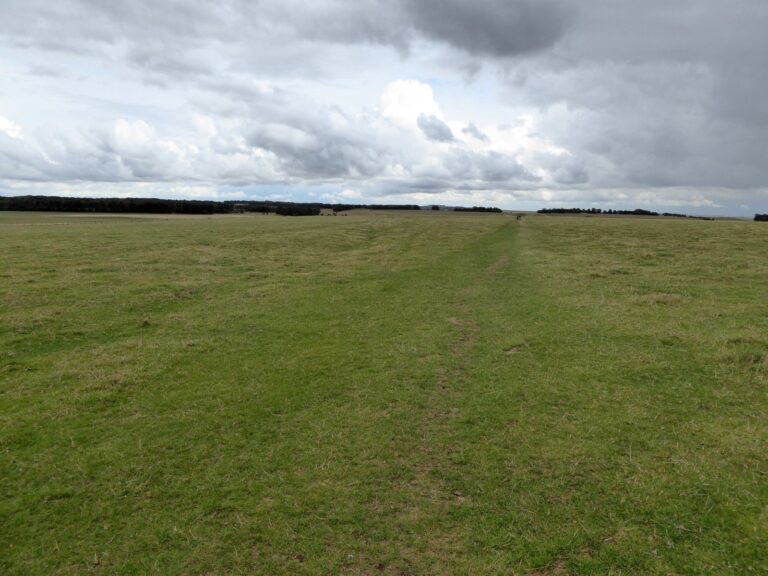
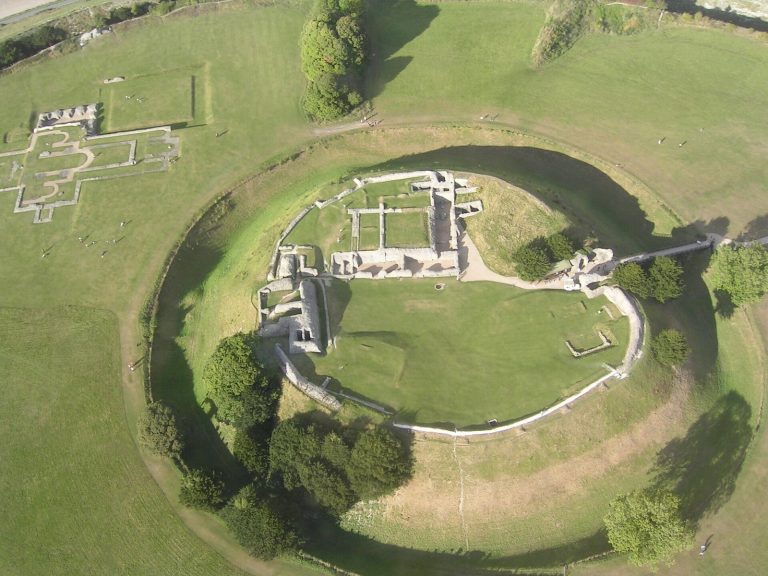
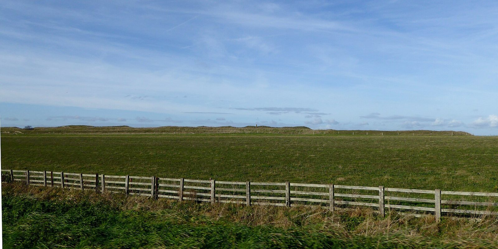
The oval hillfort covers 11.5 hectares (28.5 acres) and has a listed elevation of 167 m (548 ft). It lies on upper chalk north of the Wylye Valley, at the edge of Salisbury Plain, and straddles the parish boundary between Steeple Langford and Berwick St James. Three raised defensive banks and outer ditches make up the principal earthworks, which are generally about 17 m (56 ft) wide.
Earthworks and enclosures
Outer defences
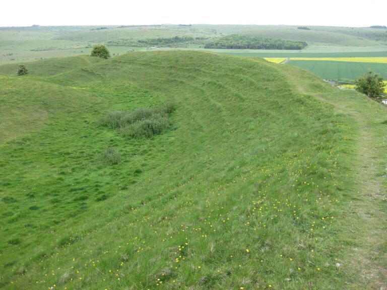
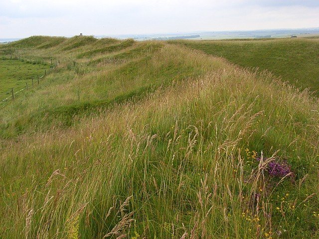
The outer banks reach 3.5 m (11 ft) high, while the ditches are up to 1.7 m (5.6 ft) deep. Two broad, parallel, grass-covered banks are also part of the earthworks. In places, the central bank encroaches on the ditches, suggesting that the inner and central banks were added after the outer works. The earthworks are generally well preserved, although a driveway has cut into and removed part of the outer ditch on the northeastern side.
Enclosures and entrances
A smaller enclosure, defined by a single bank and covering 5.2 hectares (13 acres), lies within the hillfort. Its entrance is on the western side. A separate, small, sub-rectangular enclosure of the Romano-British period stands west of the fort. The principal entrance is on the eastern side, where earthwork defences form a complex arrangement. Another entrance at the northern end may have been added later. The western entrance to the fort is thought to be a later or non-original opening that may have served the separate enclosure.
Settlement evidence
Structures
About 130 features of varying sizes have been identified, probably including round houses, pits and other structures. Many are circular and sit within compounds outlined by low earth banks. They range from 7 m (23 ft) to 15 m (49 ft) across and reach 1 m (3.3 ft) deep. Large compounds, especially in the north and east and between the earlier enclosure and inner bank, contain visible structures. Some may have stone footings. Overlapping structures point to occupation that changed and continued over time.
Burials
Human remains include two burials found in pits and isolated bones recovered from other pits. Nine complete or partial remains of newborn and young infants were found at the bottoms of the earthwork ditches. Three further burials were placed in graves.
Finds
Pottery fragments span the Iron Age and Romano-British period, including Samian ware, a red-gloss Roman pottery, dated to around AD 160. Other finds include Iron Age, Celtic and Roman coins, flint flakes, iron slag, bronze brooches, and Roman pottery and tiles.
Fair-era sheep folds
In the southeastern corner, two groups of eight low, mounded earthworks form sheep folds, enclosures for holding sheep. They cover an area about 120 m (390 ft) by 90 m (300 ft) and are thought to date from later in the nineteenth century.
Grassland and wildlife
Plants
The earthworks support chalk grassland, while the inner and surrounding areas are improved agricultural grassland with relatively little botanical interest. Salisbury Plain contains northwestern Europe’s largest remaining area of lime-rich grassland. Sixteen kinds of grass and sedge grow on the earthworks, including upright brome, sheep’s fescue, quaking grass, crested hair-grass and dwarf sedge. Herbs include dwarf thistle, chalk milkwort, horseshoe vetch, common thyme, squinancywort and common rock-rose. Nationally rare plants include field fleawort, bastard toadflax, burnt orchid and fragrant orchid. Juniper bushes were removed, and grazing now prevents their return.
Insects and birds
Butterflies found at the site include the marsh fritillary and small heath. Birds present include skylark, corn bunting and grey partridge.