Hartenfels Castle Site: A High-Medieval Aristocratic Castle in Germany
Site at a Glance
- Popularity
- Very Low
- Country
- Germany
- Primary era
- Medieval
- Eras represented
- Medieval
- Civilizations
- Duchy of Bavaria, Holy Roman Empire
- Site type
- Military
- Remains
- Castle
On this page13 sections
History
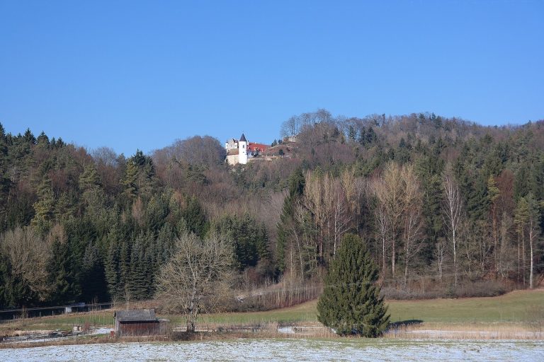
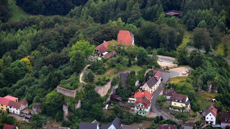
Hartenfels Castle Site was a high-medieval aristocratic castle on a rocky spur east of Neukirchen bei Sulzbach-Rosenberg, Germany, probably built in the thirteenth century by the Lords of Neidstein. It is thought to have been associated with imperial ministerials, a medieval service nobility that served the emperor and could receive offices or fiefs in return.
Prehistoric Fortification
A fortified site occupied the promontory before the medieval castle was built.
Medieval Castle
A document dated 21 February 1268 links Heinrich von Hertenvels, who was buried in the church at Eschenbach, with his brothers Rupert von Hartenstein and Rupert von Neidstein. The document identifies Rupert von Hartenstein as an imperial ministerial. The Hartenfels and Hartenstein families were related to the Neidstein family, and the Hartenfels family probably also held imperial ministerial status.
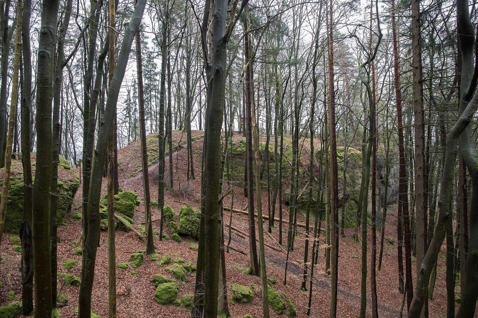
The former castle site is now wooded and is recorded as an archaeological monument by the Bavarian State Office for Monument Preservation.
Remains
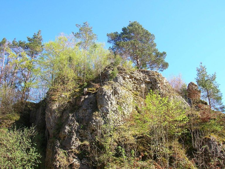
The wooded site occupies a southwest-facing rocky spur of the Great Hartenfels in the Middle Franconian Alb, at an elevation of 530.6 metres and about 80 metres above the valley. It lies east of Neukirchen bei Sulzbach-Rosenberg, about 700 metres east-northeast of the parish church of St Peter and Paul. The castle was arranged in two parts: an irregular outer ward where the spur meets the plateau, and a main ward at the rocky tip. The outer ward descends several metres toward the main ward. Steep slopes and cliffs shape the spur, with vertical drops along its northwest side and southern tip.
Outer Ward
Approach Ditch and Bank
A neck ditch, a trench cut across a narrow approach to isolate a fortified site, arcs between the eastern and western slopes and protects the outer ward. It is about 10 metres wide and 2 metres deep. Its floor descends from east to west before meeting a natural hollow. Outside the ditch, a bank about 3 metres wide begins at the eastern end and gradually merges with the terrain. It may have served as a shield wall, a substantial barrier protecting an exposed approach.
Boundaries and Rock Outcrop
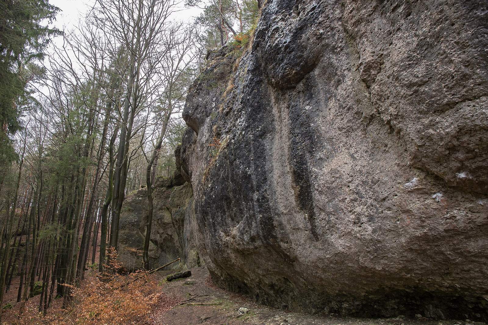
Steep slopes or rock faces, generally only a few metres high, form most of the outer ward’s boundary. Its northeastern edge meets a hollow and is less clearly defined. There, a surviving bank is about 4.5 metres wide and 1 metre high; a gap 3.8 metres across near its centre may mark the entrance. On the southwest side, an approximately 8-metre-long rock projects about 5 metres beyond the ward’s edge but was included within it. Traces of masonry survive on the rock’s surface.
Defence Between the Wards
At the southern end of the outer ward, a natural break in the ground contains a ditch cut into the rock. The ditch drops about 2 metres toward the outer ward, while the main ward rises steeply about 4 metres from its floor. A ledge halfway up the slope, slightly east of the present ascent, may indicate the former way into the main ward.
Main Ward
Defensive Wall
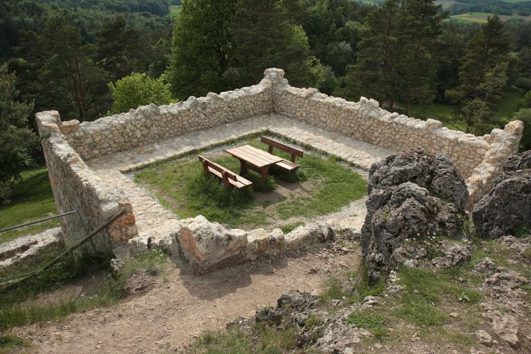
The main ward is a trapezoidal area about 50 metres long and 25 metres wide. Cliffs protect its western and southern sides, while steep slopes and rock faces strengthen its eastern and northern edges. Low foundations of the presumed ring wall, a defensive wall enclosing the castle area, extend 16 metres along the north side before turning south for 5 metres along the northeastern edge. A small piece of masonry remains visible above ground at the northwest corner.
Interior Features
A nearly square depression in the centre of the main ward measures 4 by 3.5 metres and may be the remains of a cistern or cellar. Numerous pottery sherds found at the southern edge suggest that a kitchen building may have stood there.
Rock-Cut Steps
Twelve steps cut into the rock descend from the main ward across the southern cliff. Their date and original purpose are uncertain. They were probably made later for a walking route and may postdate 1953.
Prehistoric Fortification
A curved bank outside the medieval castle’s approach ditch represents the earlier fortification. Its surviving section is about half a metre high and helped block the promontory.