Walls of Trento: Successive City Fortifications
Site at a Glance
- Popularity
- Very Low
- Country
- Italy
- Primary era
- Early Modern
- Eras represented
- Classical, Medieval, Early Modern
- Civilizations
- Holy Roman Empire, Roman
- Site type
- Military
- Remains
- Wall
On this page8 sections
History
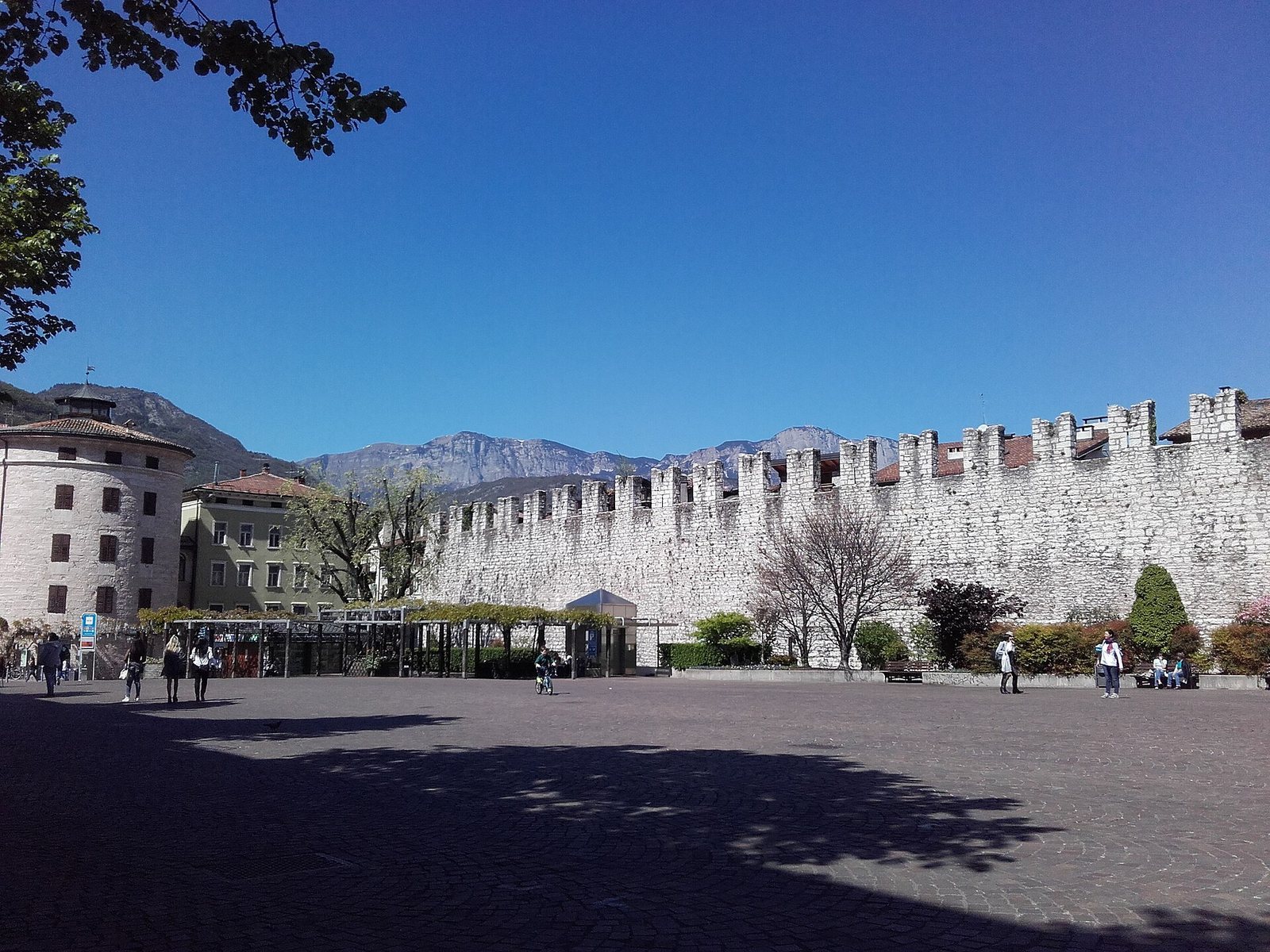
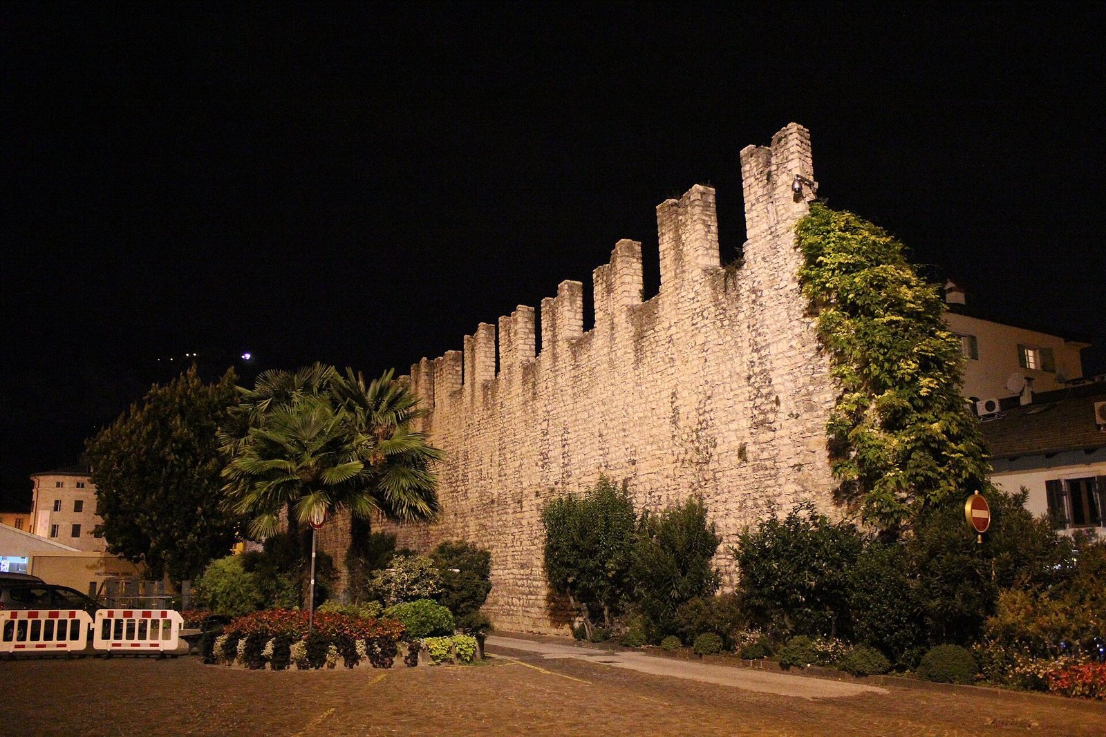
The Walls of Trento are successive city fortifications in Trento, Italy, with surviving sections at Piazza di Fiera. Their earliest enclosure protected Tridentum, a Roman settlement founded in the first century BC, and later defenses expanded as the city grew.
Roman and medieval defenses
As Trento expanded and the Prince-Bishopric of Trent took shape, its territory was governed by a prince-bishop who held both religious authority and secular political power. The Roman enclosure no longer met the city’s needs. Between 1215 and 1218, Prince-Bishop Federico Vanga promoted a larger defensive circuit, later known as the Vanghian walls. It defined the city’s boundaries through the Middle Ages.
Renaissance fortifications and conflict
From 1520, Prince-Bishop Bernardo Clesio began a major modernization of the defenses in response to artillery’s growing effectiveness. The new works replaced and incorporated parts of the medieval circuit, shaping Trento’s urban form until the nineteenth century. Clesio also helped organize the Council of Trent, a major council of the Catholic Church in the sixteenth century.
In 1703, during the War of the Spanish Succession, a European conflict fought from 1701 to 1714 over the Spanish throne, French forces attacked Trento under the command of Louis Joseph, Duke of Vendôme. The siege damaged the Clesian defenses, but they held. The walls continued to serve the Prince-Bishopric’s army until 1803, when the principality was secularized and Trento became part of the Austrian Empire.
Demolition and restoration
From the mid-nineteenth century, most of the walls were demolished as obstacles to air circulation and urban growth. The Brenner Railway and new residential districts increased pressure for space. Demolition of much of the eastern Clesian circuit made way for present-day Via G.B. Trener, Via B. Clesio, and Via F. S. Benucci. Surviving stretches later received restoration, particularly around Piazza di Fiera. The first restoration phase began in 2023 and was completed in 2024.
Remains
Stone and masonry remains mark the development of Trento’s defenses from a compact Roman enclosure to wider medieval and Renaissance circuits. The surviving sections belong to different phases and are now separated by the city’s later growth and changes to the course of the Adige River.
Roman enclosure and Vanghian circuit
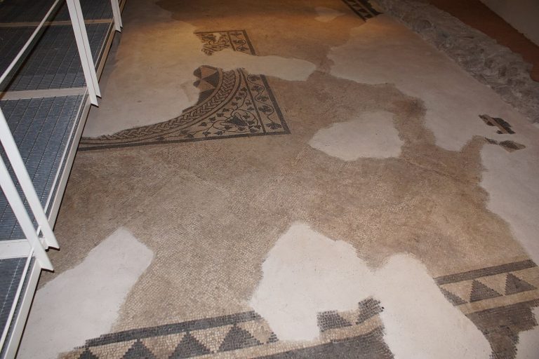
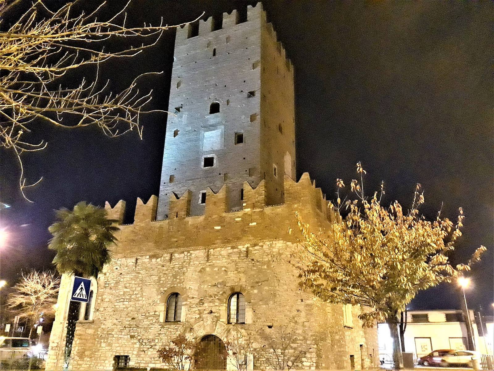
The Roman enclosure surrounded a roughly quadrangular area of the old city, between the areas of Via Larga, Via Santa Trinità, and Via Belenzani. Its principal gate, Porta Veronensis, survives in the underground archaeological area at Piazza Cesare Battisti. The later Vanghian circuit enclosed more ground, including the cathedral then under construction and the San Martino neighborhood. Along its western side, the Adige, which then flowed farther east beside the present historic center, provided a natural defense. Torre Vanga controlled access to the river from the southern side and served as a customs post; to the north, Torre Verde stood on a river island and closed the circuit near Buonconsiglio Castle.
Clesian circuit
The Clesian defenses extended to Borgo Nuovo, in the present Piazza di Fiera area, which lay beyond the earlier walls. On the more exposed eastern side, lower, thicker wall stretches and earthworks replaced older defenses. Large circular artillery towers were positioned to support crossfire; the best-preserved, the Torrione, still overlooks Piazza di Fiera. The longest surviving stretch runs from the piazza to Via S. Giovanni Bosco and includes the Torrione. Torre Vanga and Torre Verde now stand apart from the river, whose course was diverted in the nineteenth century. Smaller portions of wall remain visible in Via Torre Vanga and are incorporated into later buildings.
Gates
The circuit had three principal gates. Porta Aquila, also called Porta Tedesca, stood to the north toward Buonconsiglio Castle and the lands of the Holy Roman Empire, a multi-territorial political entity in central Europe that lasted until 1806. Porta Veronese, also known as Porta Italiana, stood to the south on the line of the ancient Roman gate, facing toward Verona and Italy. Porta Santa Croce faced east toward Valsugana and Venice. Porta Veronese and Porta Santa Croce were demolished. A smaller entrance, Porta Santa Margherita, served the southeastern side of the circuit.