Castelló de Farfaña: A Medieval Defensive Castle in Spain
Site at a Glance
- Rating
- 4.5
- Popularity
- Very Low
- Country
- Spain
- Primary era
- Medieval
- Eras represented
- Medieval
- Civilizations
- Unclassified
- Site type
- Military
- Remains
- Castle
On this page12 sections
History
Early fortifications and conquest
Castelló de Farfaña is an eleventh-century castle on a hill above the town of the same name in Spain. The hill may have been occupied earlier, during the Iberian period, when the Ilergetes, an ancient people of northeastern Iberia, may have used it to defend against the Romans. The castle’s origins lie in a Muslim-period fortification that formed part of an east-west defensive chain between Islamic territories to the south and Christian lands to the north. The first certain notice of the place dates to 1036, when it remained under Muslim rule.
Guerau II de Cabrera took the castle and its territory from Muslim forces in 1115 and 1116, although the conquest was not secured until 1130. The site then became part of the political and territorial struggles involving the medieval County of Urgell.
The castle and the counts of Urgell
In 1156 and 1157, a dispute between Ponç I de Cabrera, Guerau II’s son, and Ermengol VII, count of Urgell, ended with recognition of Ermengol’s rights over the castle. Later appropriations, property inventories, and bequests also concerned the site.
Guerau II had given the earlier Church of Saint Mary to Sant Pere d’Àger, a collegiate church served by a chapter of clergy. The church became a priory, a religious community led by a prior and dependent on a larger institution. It also held the tomb of Count Ermengol IX of Urgell, who died in 1243. The earlier church dated to the twelfth century. Later, Countess Cecília de Comenge, wife of Jaume I of Urgell, decided to build a new church to replace it.
Later ownership and conflict
In 1415, Ferdinand I of Antequera, king of Aragon, sold the lordship of Castelló de Farfaña, the territory and rights held under a lord’s authority, to the Count of Foix. The property later passed to the dukes of Alba.
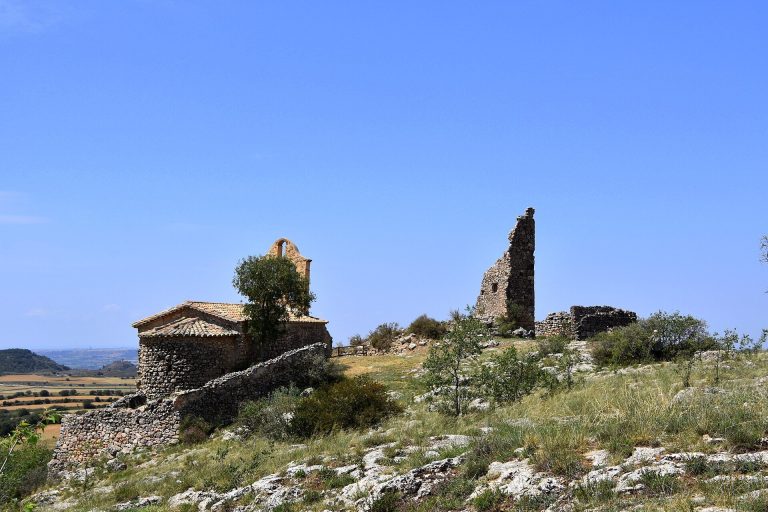
The castle saw military action during the Reapers’ War, a Catalan conflict fought from 1640 to 1652, as well as in later conflicts. By about 1840, it was already described as being in ruins. The castle is protected as a Cultural Asset of National Interest and was declared an Asset of Cultural Interest in Spain on 8 November 1988.
Remains
Enclosure and setting
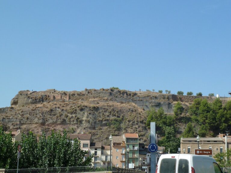
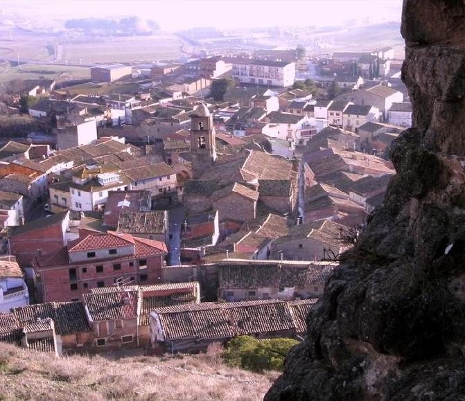
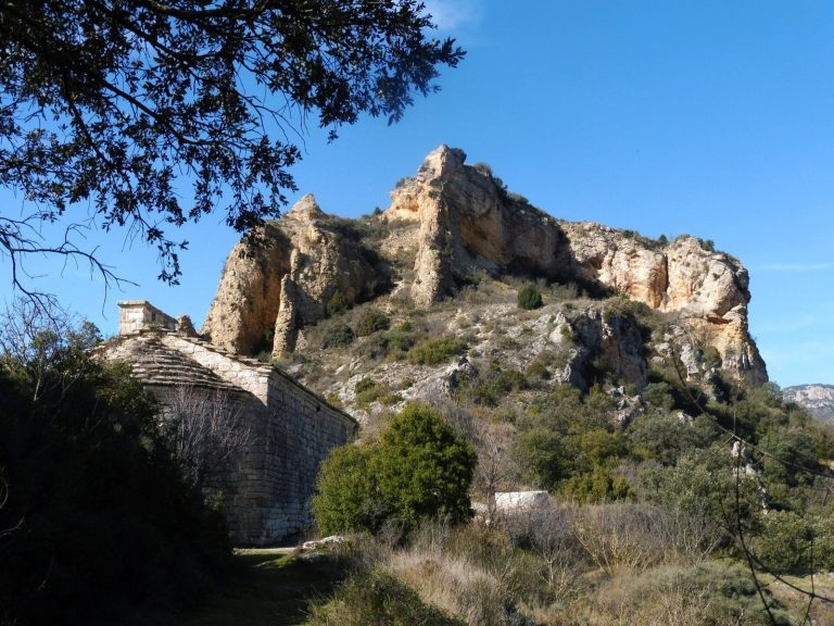
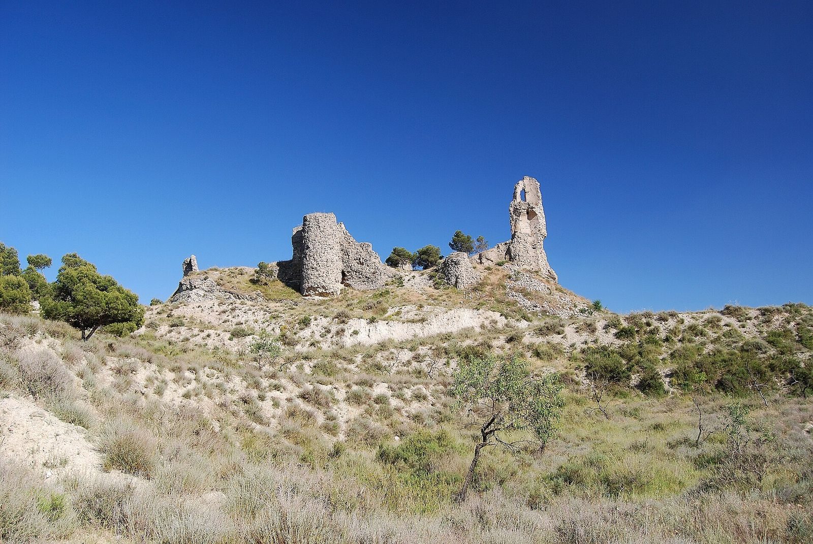
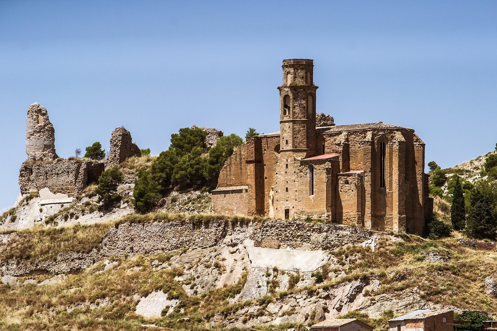
The ruined castle stands at an elevation of 386 m on a hill overlooking the town, which it shares with the Church of Saint Mary. The castle enclosure is distinct from the wall around the town and from several watchtowers. Its elongated, trapezoidal plan measures about 80 by 30 m. Cliffs protect three sides, while a ditch 12 to 18 m wide defended the more exposed northern side. The buildings are generally of masonry, with some northern wall sections made of irregularly shaped dressed stone.
Northern defenses
The northern wall, dating to the Islamic period, consists of two sections that meet at an angle. They measure 27.50 m and 26.90 m long, are 0.90 to 1.10 m thick, and survive to a height of up to 5 m. Two towers are associated with the wall. One is a solid, semicircular tower with a radius of 2.5 m, surviving to a maximum height of 13 m; the other, attached where the wall sections meet, is heavily reduced. A roughly square structure at the southwest corner of the hill may also belong to the Islamic-period castle.
Western buildings
The counts’ building group
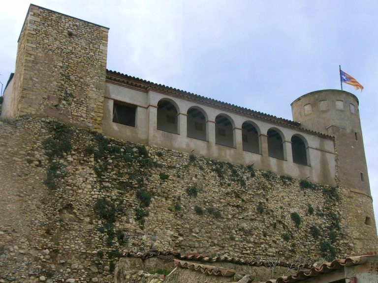
In the western part of the enclosure are remains associated with the counts, built after the conquest and dated to 1116. An adjoining section about 1.10 m thick reinforced the earlier wall. The group also includes a chamber and a badly damaged circular tower, about 8 m in diameter. The tower was divided into three floors and survives to a height of about 13 m.
La Cavalleria
South of the western group is a large chamber known as La Cavalleria, divided into two sections covered by barrel vaults, continuous arched ceilings. Its walls were shaped using temporary formwork and plastered on the exterior. At the base, three or four horizontal layers of large, carefully dressed stone blocks remain.
Northern watchtower
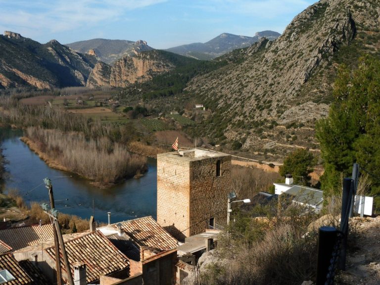
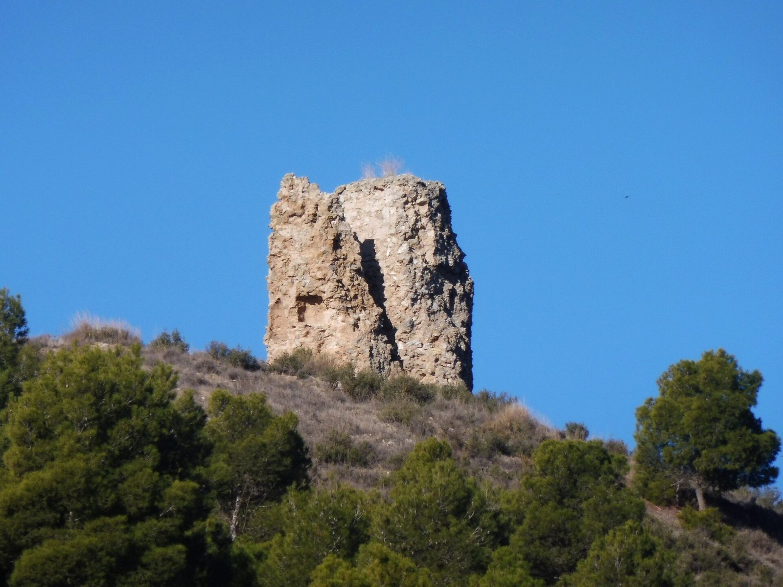
A separate tower on a hill north of the castle watched over and controlled the Farfanya valley. Probably Islamic in date, it is solid and rectangular, measuring 4.5 by 5.7 m, and survives to a height of about 9 m.
Southern towers and wall
To the south, two towers are joined by surviving wall sections that extend toward the lower town; about 8 m of wall remains. These structures belong to the feudal castle and postdate 1116. The first tower survives as its ground plan and a vertical section 5.70 m high. The second, 5.5 m in diameter and 14 m high, has four floors. Its entrance, first-floor vault, and several loopholes, narrow openings used for observation or defense, survive.