Buschelberg: An Early Medieval Hilltop Fortress in Germany
Site at a Glance
- Popularity
- Very Low
- Country
- Germany
- Primary era
- Medieval
- Eras represented
- Medieval
- Civilizations
- Carolingian
- Site type
- Military
- Remains
- Fort
On this page11 sections
History
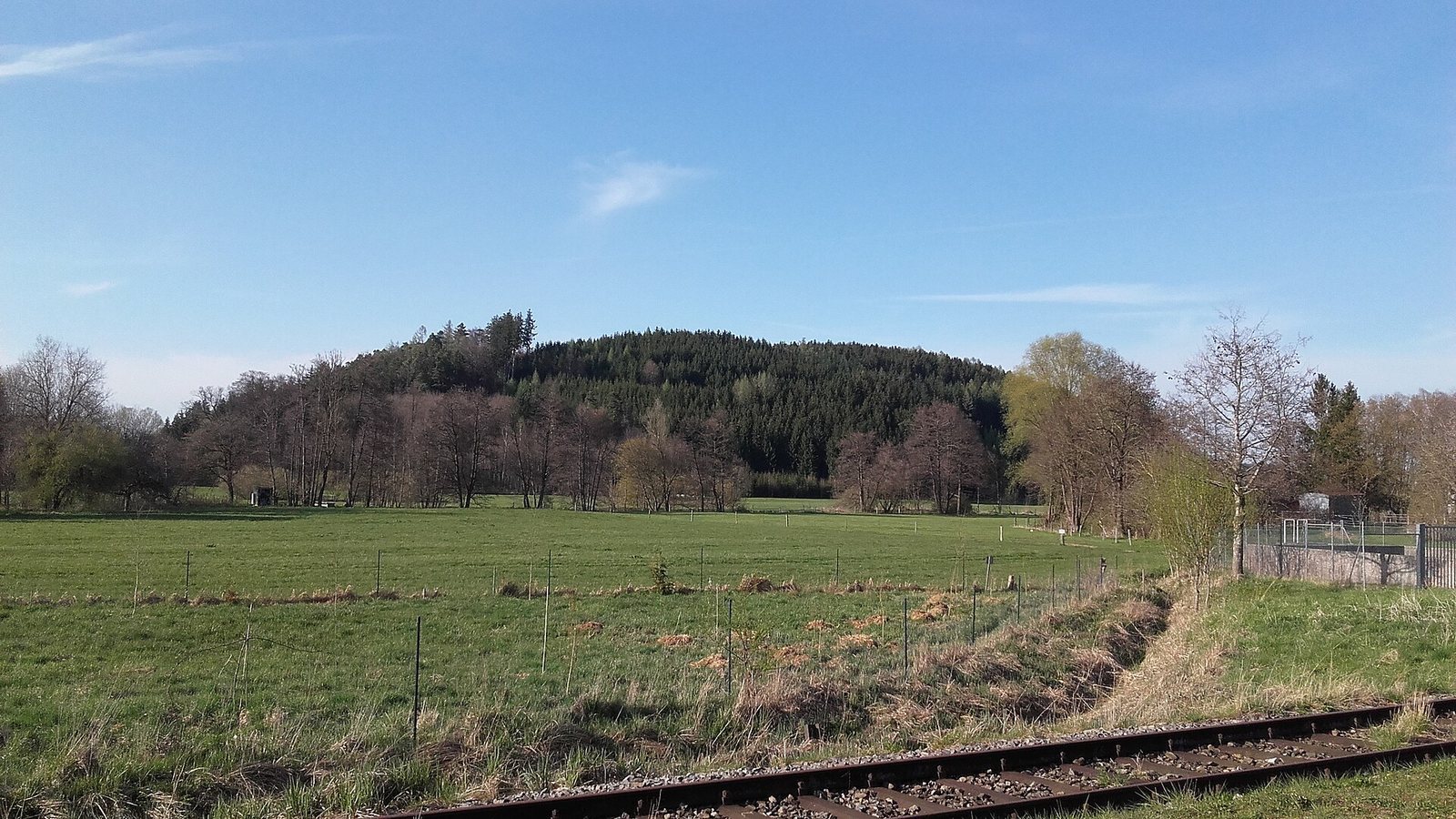
Buschelberg is a wooded hilltop fortress at the northern edge of Fischach, Germany. Its early medieval defenses make it one of the largest fortress complexes built around raised defensive banks in Bavarian Swabia, and a major example of an early medieval fortress in the region of the Battle of Lechfeld.
Prehistoric activity
The name Buschelberg may derive from Burgselberg, meaning ‘castle-site hill,’ a term used for former castle sites in southwestern Germany. Ceramic finds from the hill indicate activity in the late Neolithic or early Bronze Age.
Celts also settled at Buschelberg. Nearby, groups of burial mounds and a well-preserved square earthwork at Brennburg are associated with the Celtic period.
Early medieval fortress
An emergency excavation in 1976 revealed evidence of a central fortress from the late Carolingian and Ottonian periods. These periods take their names from successive ruling dynasties in early medieval western and central Europe. The fortress was connected with the expansion and organization of settlement and land use, and its defenses had at least two building phases.
During the Hungarian incursions in the first half of the tenth century, raids by Magyar forces into western Europe, Buschelberg’s defenses were expanded. The final phase appears to have been designed to resist these attacks. Fortifications of this period were often built hastily and with rough workmanship, and the extensive works at Buschelberg seem to have remained partly unfinished.
After the Battle of Lechfeld
The Battle of Lechfeld in 955 was a major defeat of the Magyar forces by the East Frankish kingdom and ended the Hungarian threat. Many large territorial fortresses were used only briefly afterward or abandoned. Work at Buschelberg may have stopped as the need for these defenses receded.
A separate earthwork in the southwestern valley may have belonged to a high-medieval castle of local nobility. It may have been the seat of the Lords of Fischach, though its connection to the early medieval defensive plan is uncertain.
Remains
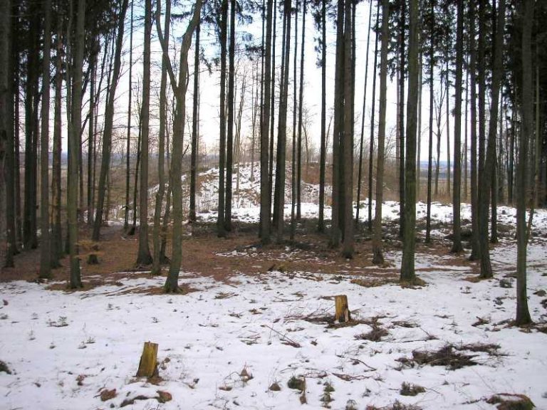
The wooded hill forms a spur projecting south, with two summits at about 551 and 558 m above sea level. Defenses occupy both summits: a larger southern enclosure and a less strongly fortified northern area, separated by a saddle. The banks were faced with dry-stone walls made of conglomerate, a rock of rounded stones cemented together, and sandstone.
Summit fortifications
Southern main fortification
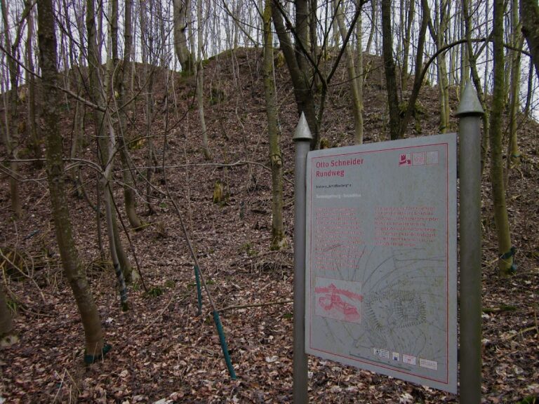
The southern core, known as Area I, is roughly trapezoid-shaped and measures about 125–160 by 70 m. A ditch and outer bank run around its plateau, while a second, double bank curves in a horseshoe shape north of the core. The main bank may originally have stood about 10 m high; earth movement has shifted part of it downslope, and it now reaches up to 8 m. A semicircular bank in front also protects the valley slope.
A channel descending toward the valley on the eastern side may have served as a protected water route. Young woodland and timber-removal tracks affect the defenses. Dense young trees largely conceal the southern bank, and windthrown trees hinder examination of the main works.
Northern fortification
Area II is less heavily defended than the southern enclosure. Twelve visible blocking ridges cross the western part of its plateau. These obstacles were fitted with pointed wooden stakes or planted with thorn hedges, to make Hungarian horsemen dismount and hinder an attack on the main fortification. On the plateau east of the ridges, the slopes were made steeper, especially on the north.
A poorly preserved bank on the southeast connects Area II with the main work and formerly guarded the old castle approach. The northern part of Area II, including its earth ridges, is more readily visible than the densely wooded southern defenses.
Outlying works
Incomplete perimeter defenses
Additional defenses at the northwestern foot of the hill and on the eastern slope toward Heimberg appear to have remained unfinished.
Southwestern valley earthwork
This earthwork has a plateau about 100 by 65 m, standing 8–12 m above the valley. Its slopes were made steeper by human effort.