Fort Brûlé: A Fort in Dijon’s Defensive Belt
Site at a Glance
- Popularity
- Low
- Country
- France
- Primary era
- Modern
- Eras represented
- Modern
- Civilizations
- French
- Site type
- Military
- Remains
- Fort
On this page9 sections
History
Construction within the Dijon defensive belt
Fort Brûlé is a French fort at Asnières-lès-Dijon, France, built in 1876–1877 as part of the defenses of Dijon. Also called Fort d’Asnières, it belonged to the Séré de Rivières system, a network of French fortifications associated with military engineer Raymond Adolphe Séré de Rivières and developed after France’s defeat in 1870–1871.
Dijon was designated part of the system’s “second line,” while its first line centered on Verdun, Toul, Épinal, and Belfort. From 1875 to 1883, forts and other defensive works were built around Dijon to protect the city. They included Fort d’Asnières, the Saint-Apollinaire redoubt, forts at Varois, Sennecey, Beauregard, La Motte-Giron, and Hauteville, and the Mont-Afrique military redoubt. The fort’s garrison figure was 608 men; other personnel figures are 131 men in 1914 and 735 men for artillery and infantry service.
Plans for restructuring the fort in 1900 and a complementary program in 1908 were not carried out. It also received no modernization using special concrete.
Wartime damage and later use
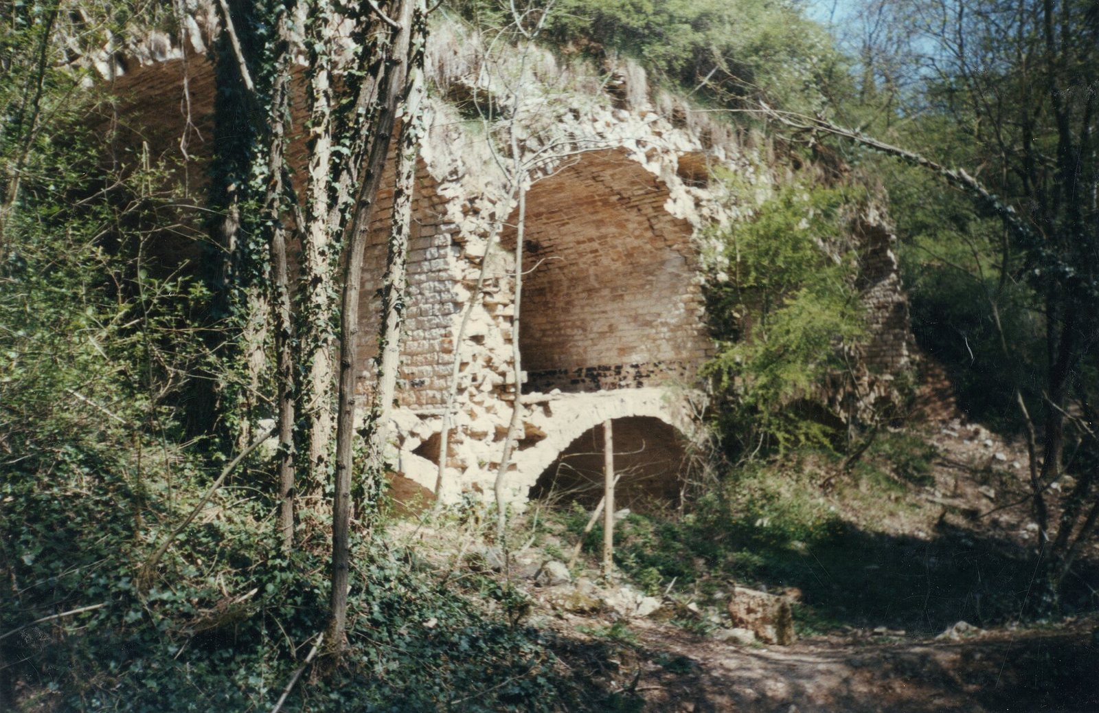
Fort Brûlé did not defend Dijon in either world war. During the Second World War, German forces used it as an ammunition depot. In 1944, they detonated ammunition inside the fort, causing extensive damage. The fort was then abandoned.
Since 1999, paintball associations have maintained and used the fort. It is privately owned and serves as a paintball site. Fort Brûlé was listed as a historic monument on May 5, 2006.
Remains
The fort lies north of Dijon’s urban area, on the boundary between Asnières-lès-Dijon and Norges-la-Ville, at an average elevation of 362 metres. Its polygonal plan is organized around a substantial central block, with artillery positions at a lower level.
Layout and defensive works
Central block and ditch defenses
Flanking wings at each outward-pointing angle of the perimeter were intended to defend the ditches. A head caponier, a protected position for defending a ditch, and two flank-defense works beside the entrance guarded the approach to the bridge.
Entrance bridge
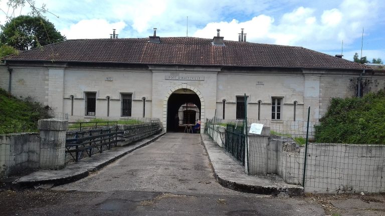
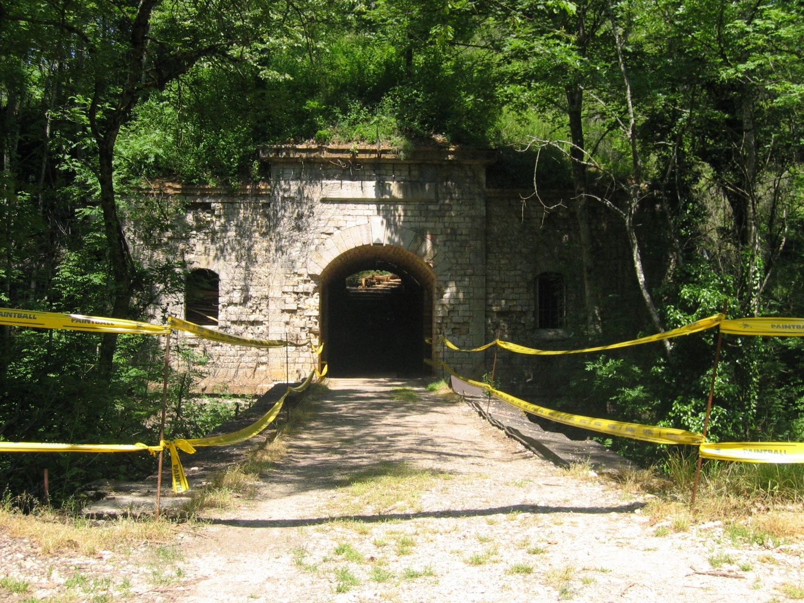
The entrance used a locally distinctive rolling bridge. Its deck ran on two rails laid crosswise in front of the gateway; when retracted beneath the guard post, it exposed a deep pit below the entrance porch.
Artillery and water supply
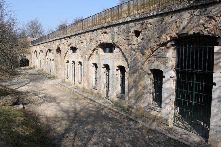
The 44 artillery pieces were distributed among the flanking defenses, eight casemates (protected chambers for guns), and the ramparts. The ramparts carried 28 guns and four mortars, while the flanking defenses held 12 pieces. Two cisterns had a combined capacity of 600 cubic metres.
Surviving fabric
The fort’s rear façade and curtain wall, the wall between projecting defenses, survive. The date 1876–1877 appears above the entrance porch, which is surrounded by vegetation. The left half is largely destroyed; its surviving feature includes the flanking wing at the second outward-pointing angle of the perimeter.