Shiryōkaku: An Ezo Republic Field Fortification in Japan
Site at a Glance
- Country
- Japan
- Primary era
- Modern
- Eras represented
- Modern
- Civilizations
- Unclassified
- Site type
- Military
- Remains
- Fort
On this page6 sections
History
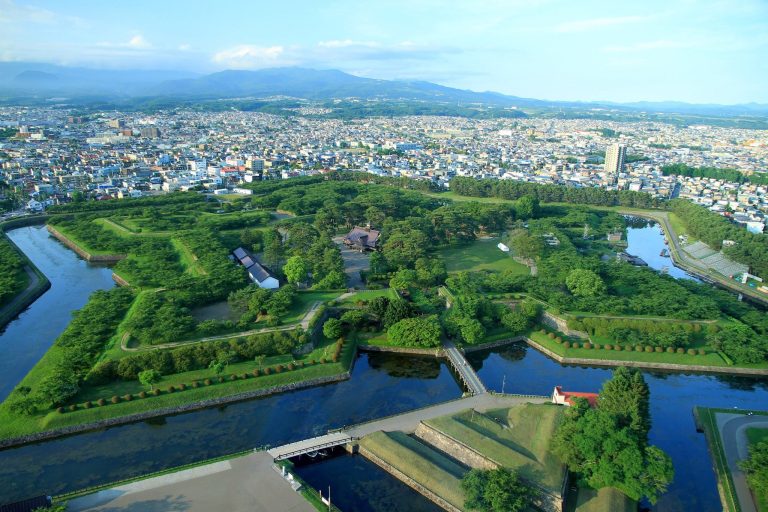
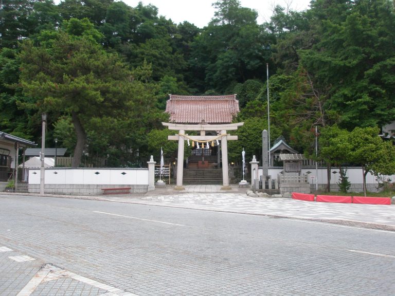
Shiryōkaku is a military fort in Japan, built in 1869 by the Ezo Republic during the Hakodate War, part of the Boshin War between Tokugawa supporters and the new imperial government. The short-lived Ezo Republic was established in Hokkaido by former supporters of the Tokugawa shogunate. Shiryōkaku served as a supporting fort for Goryōkaku, a star-shaped fortress with five projecting defensive positions, and was also intended to protect Hokkaido Toshogu, a shrine dedicated to Tokugawa Ieyasu.
Construction and design
Work probably began in late April 1869. About 200 soldiers and roughly 100 villagers from nearby communities worked almost continuously. Construction may have taken only a few days, although the fort was still unfinished shortly before the government’s general assault on May 11. Ōtori Keisuke, who led former shogunate forces in the Hakodate campaign, has been credited with directing the work, but his direct oversight is uncertain because he was occupied with fighting and rescue operations elsewhere. A member of the engineer corps, whose personnel had studied European fortification methods, may instead have managed construction. The designer is also uncertain. A soldier’s diary from the government garrison after the fort’s capture credits the design to French army captain Jules Brunet, an adviser and trainer of Tokugawa forces.
Attack and later history
Ezo forces called the position Shiryōkaku and also New Goryōkaku. Government troops referred to it as the Kamiyama battery, a fortified position for guns, while New Battery appears to be a later label. A regiment under an Ezo officer defended the fort. On May 11, 1869, government forces attacked from several directions: troops from the Okayama domain approached from the mountainside, those from the Fukuyama and Tokuyama domains came from the valley, and Mito domain troops advanced from a neighboring plateau. These domains were feudal territories governed by regional lords. Shiryōkaku and the Gongen battery fell within a few hours. A gentle slope extending for more than a kilometre north of the fort allowed government forces to approach by a circuitous route, contributing to its fall.
After the Hakodate War, the fort deteriorated. It became a National Historic Site in 1934. Repairs and improvements to the site took place from fiscal 1969 through fiscal 1972, followed by intermittent work by Hakodate City from 1990 onward. Shiryōkaku is distinct from the remains of a fortified Matsumae-domain outpost in Hokuto, which is also sometimes called Shiryōkaku but differs in scale, structure, and purpose.
Remains
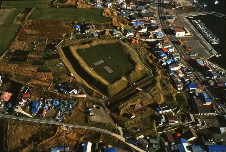
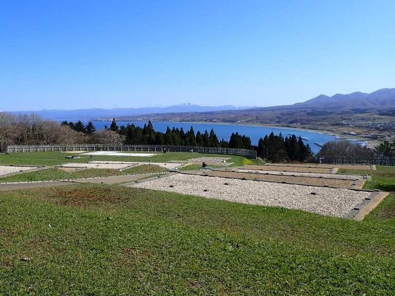
Shiryōkaku occupies a tongue-shaped spur on the lowest marine terrace of the Pleistocene, the geological epoch before the Holocene. A marine terrace is a raised former coastal platform shaped by marine processes. The fort stands at the foot of the Kameda Mountains, with river-cut valleys on either side. It lies northeast of Goryōkaku, about 80 metres above the flat landform connecting an island to the mainland on which that fortress stands. The terrace extends about 800 metres to the south. The fort’s flattened plan, described as resembling a butterfly with its wings spread, covers about 2,300 square metres within an area roughly 100 metres east to west and 70 metres north to south.
Defensive earthworks
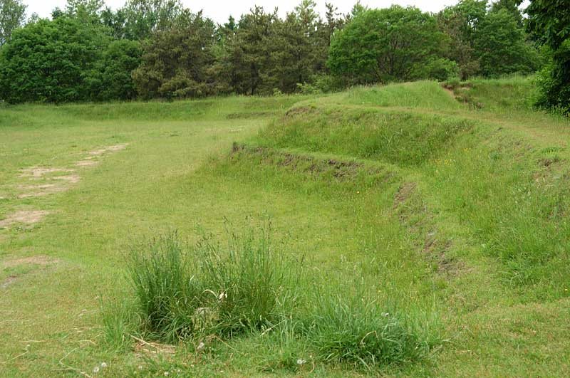
The plan has four bastions, projecting sections of fortification, with connecting curtain walls on the northeast and southwest sides. The earthen ramparts, raised defensive embankments, are about 5.4 metres wide and 3 metres high. A dry moat around them measures about 2.7 metres across and 0.9 metres deep. Along nearly the entire inner edge of the ramparts, a raised firing step provided a position for troops. Each bastion summit has a gun position.
Entrance and surviving fabric
The entrance is centered in the southwest curtain wall. Behind it, a passage about 0.9 metres wide leads into a square gate court formed by earthen ramparts. The surviving remains are earthen ramparts.