Chepstow Port Wall: A Medieval Enclosure for the Town and Port
Site at a Glance
- Country
- United Kingdom
- Primary era
- Medieval
- Eras represented
- Medieval, Modern
- Civilizations
- British, English
- Site type
- Military
- Remains
- Wall
On this page9 sections
History
Chepstow Port Wall is a medieval town wall at Chepstow in the United Kingdom, built in 1274–78 under Roger Bigod, 5th Earl of Norfolk. It enclosed the town and port, helping Bigod control the market and collect tolls while restricting entry.
Port and castle before the wall
After the Norman conquest of England and parts of south Wales, Chepstow grew as a port and trading centre within Striguil, a Marcher lordship: a border territory between England and Wales whose lord held substantial local authority. The name Chepstow comes from an Old English expression for a “trading place.” The port exported timber and bark and brought in wine from Gascony, Spain, and Portugal.
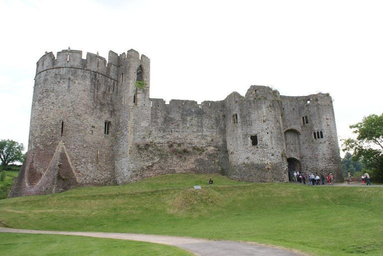
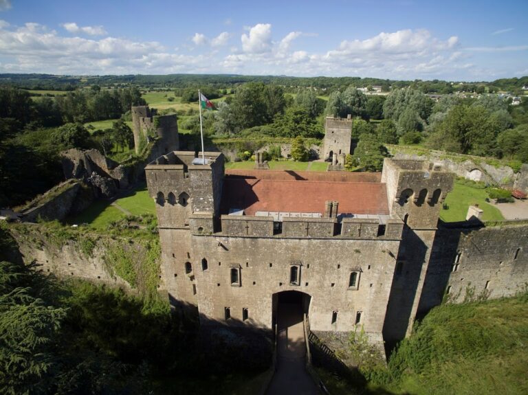
Chepstow Castle, established in 1067, defended the town and its priory, a religious house governed by a prior or prioress. The castle was rebuilt and enlarged in stone several times. One uncertain proposal holds that earthworks east of the later wall had earlier protected the priory, castle, and river crossing, with the market at first lying outside that boundary.
Bigod and the new boundary
Roger Bigod took control of Striguil in 1270 after his uncle’s death and began a major building programme at Chepstow and nearby. The Port Wall and Town Gate formed part of this work. The defences were intended to deter unwanted entrants, including people from the countryside west of town, where Welsh residents could at times be hostile.
Striguil’s lord collected local dues without the English Crown’s direct control. In 1294, Bigod granted his close associate John ap Adam of Sedbury the right to hold a regular market at Chepstow. Within the wall, much of the land remained open for pasture, orchards, and gardens, while wharves and shipyards occupied the riverside.
Later changes and protection
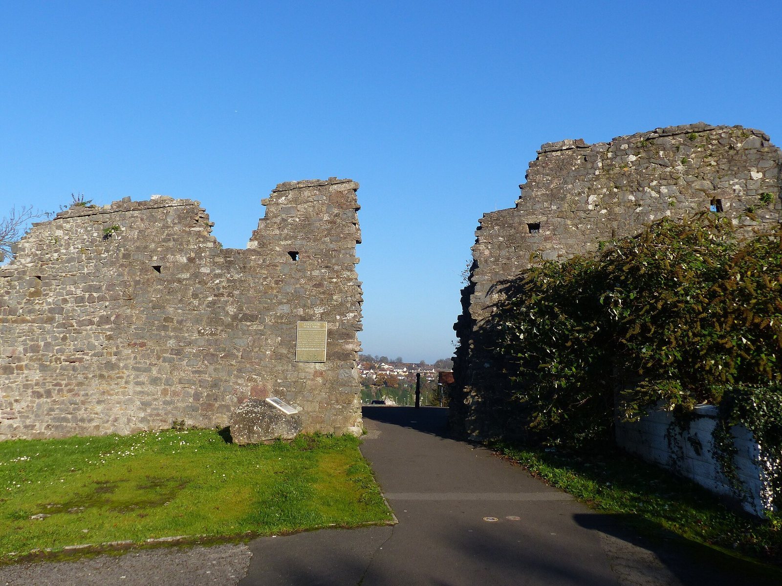
The wall was breached in 1846 for the railway between Chepstow and Newport. In 1916, during the First World War, the section between the railway and river was demolished to make way for National Shipyard No. 1. A further opening followed to give children from the new Hardwick Garden City, just outside the wall, a route to school. Openings for vehicle access to the main town car park at Welsh Street followed in the 1960s, and work for the A48 relief road took place in the early 1970s.
The Port Wall is protected as a Scheduled Monument under UK law. The wall and Town Gate are also Grade I listed for their exceptional architectural or historic interest; the wall received its listing on 24 March 1975.
Remains
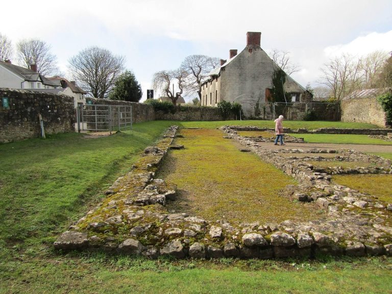
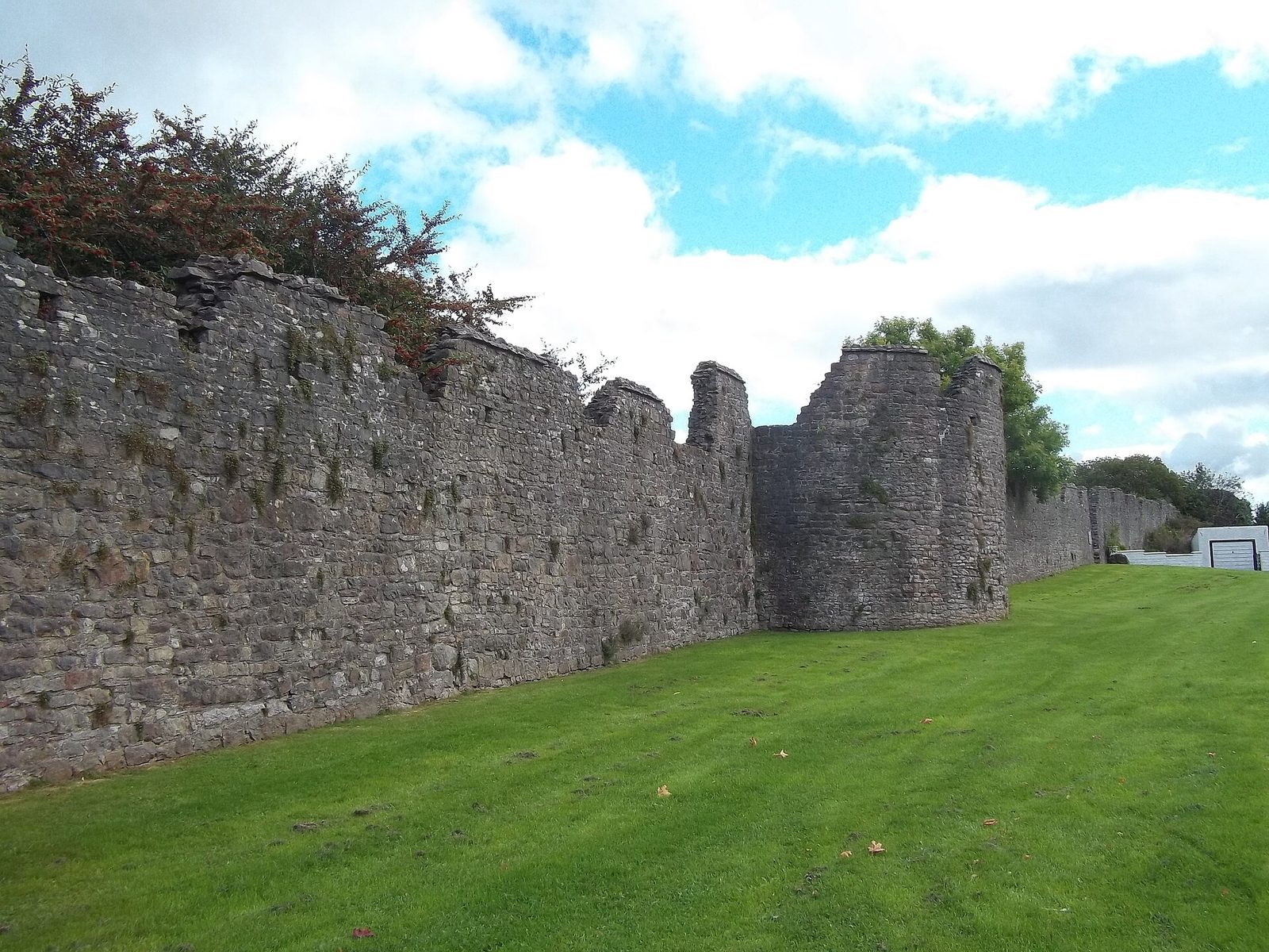
The original circuit formed a semicircle extending about 1,100 metres south from Chepstow Castle to the River Wye. It enclosed approximately 53 hectares, including the town and port as they then existed. Substantial stretches survive, though later openings interrupt the wall.
Surviving enclosure and defences
Wall construction
The wall averages about 5 metres high and 2 metres thick. It was built without substantial foundations, using a rubble core faced with roughly squared stone blocks laid in regular courses. Its connection to the castle is uncertain: it may have joined the castle wall, or begun across the Dell, a steep-sided valley on the castle’s south side that formed a natural moat.
Walkway, battlements, towers, and ditch
The original defences included a walkway along the inner face of the wall and battlements along its top. At least 11 semicircular towers projected outward from the wall, each measuring about 8 metres across. A dry ditch ran outside some sections.
Town Gate and later openings
The Town Gate provided the sole entrance for market users. Later cuts through the surviving wall reflect the railway, shipyard, school access, car park, and relief road developments described above.