Haluza: A Nabataean City on the Incense Route
Site at a Glance
- Country
- Israel
- Primary era
- Medieval
- Eras represented
- Iron Age, Classical, Medieval
- Civilizations
- Byzantine, Nabataean
- Site type
- City
On this page11 sections
History
Nabataean foundation and Roman rule
Haluza is an ancient city in H̱olot H̱aluẕa, Israel, founded by the Nabataeans probably in the late fourth or early third century BCE. Also known in antiquity as Halasa and Elusa, it grew as a station on the Incense Route, a network carrying frankincense and other goods between Petra and Gaza. A Nabataean inscription dated to 168 BCE says that Natiro “made” the place during the reign of a Nabataean king named Aretas. The inscription is regarded as the earliest Nabataean inscription found in Israel.
The city appears under the name Chellous in the Greek text of Judith, a work probably composed in the first century BCE. In the second century CE, the geographer Ptolemy placed it in Idumea, an ancient region associated with Edom, west of the Jordan. The Peutinger Table, a map of routes and places, gives its distance as 71 Roman miles from Jerusalem and 24 from Avdat. Later references by writers and pilgrims, including Jerome and John Moschus, attest to its continuing place in accounts of the region.
Rome annexed the Nabataean kingdom in 106 CE, and Elusa became the principal city of the central Negev within the province of Arabia Petraea, the Roman province that included the former kingdom. By 358 it was the capital of Palaestina Salutaris, and by 409 it headed the Byzantine province of Palaestina Tertia. Letters written in 356 and 359 by Libanius of Antioch, a prominent rhetorician and teacher, also reflect Elusa’s regional standing. The city was the birthplace of Zenobius, a fourth-century rhetorician who taught Libanius.
Late antique society and Christianity
Elusa had a substantial Christian community, though Christians and pagans lived there together. Christianity took root in the city during the fifth century. A tradition credited the fourth-century ascetic Hilarion with introducing the faith and converting some residents. Jerome described a major temple of Aphrodite, the Greek goddess associated with love and beauty, in fourth-century Elusa. Pagan tombstones show that pagans continued to live in the city into the early fifth century. In the fifth century, vineyards surrounded Elusa, which was renowned for its wine.
Bishops from Elusa attended church councils in 431 and 451. In the early fifth century, a bishop secured the release of Nilus of Sinai’s son, who had been taken by Arabs from Mount Sinai, and then ordained both the son and his father as bishops. Other bishops named in the record include Theodulus in 431, Aretas in 451, Peter in 518, and Zenobius in 536. Elusa’s bishopric remains listed by the Catholic Church as a titular see, a bishopric retained in name without a resident bishop.
Administrative importance and decline
Written records from the nearby Negev settlement of Nessana identify Elusa as an administrative center. Sixth-century military documents, a record from 605, and a mid-sixth-century account of defense taxes reflect its regional responsibilities before the Arab conquest. Documents dated 674–689 show that it continued as a district capital in the Gaza region after the conquest. The city’s name also shifted into the Arabic form al-Khalūṣ.
Evidence from urban refuse points to a major decline around the middle of the sixth century, roughly a century before the Arab conquest. One proposed explanation is the Late Antique Little Ice Age, a period of cooler climate that may have involved temporary cooling caused by volcanic activity. This remains a possible explanation rather than an established cause. Elusa later declined further and was abandoned for centuries. People from Gaza took stone from its ruins for building, an activity that continued into the twentieth century.
Later traditions connected the site with biblical places. In a tenth-century Judeo-Arabic translation of the Pentateuch, the scholar Saadia Gaon associated Haluza with Gerar. In 1906, Antonin Jaussen noted that Jewish interpretive translations placed the desert of Shur and the well associated with Hagar in the area.
Rediscovery and modern history
In 1838, Edward Robinson identified Al-Khalasa as ancient Elusa on the basis of its Arabic name. The École Biblique of Jerusalem studied the remains in 1905 and identified the cemetery. During a Negev survey around 1914–15, archaeologists Leonard Woolley and Thomas Edward Lawrence attempted to map the site.
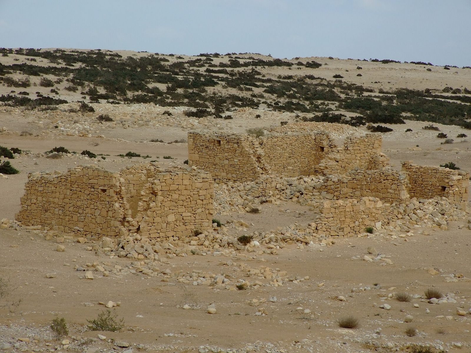
Western archaeological interest encouraged the Al-Azizma Bedouin tribe to resettle among the ruins and build a village also called Al-Khalasa, reusing ancient stone in its buildings. By 1941 the village had a primary school and several shops; many residents depended on animal husbandry and trade, and drew drinking water from a well. Israeli forces captured the village in October 1948 during the 1948 Arab-Israeli War, the conflict surrounding the establishment of Israel.
Archaeological investigations continued with Abraham Negev’s study in 1973, work by Ben-Gurion University in 1979–80, and excavations led by Haim Goldfus and Peter Fabian in 1997 and 2000. Teams from the University of Cologne and the University of Haifa carried out survey-excavations in 2014. Shifting sand has made survey work more difficult. In 2005 UNESCO inscribed Haluza as part of the World Heritage property “Incense Route – Desert Cities in the Negev,” together with Mamshit, Avdat, and Shivta. The inscription recognizes the property as evidence of a cultural tradition and as an example of traditional settlement and land use.
Remains
Urban plan and water supply
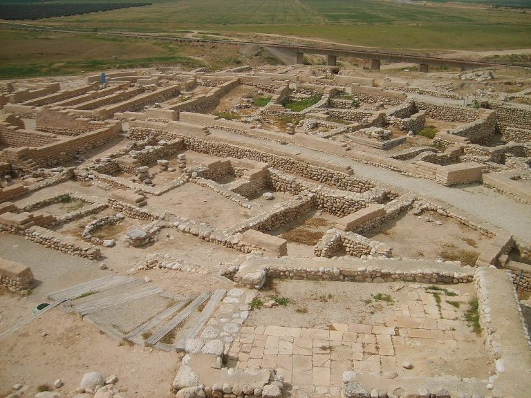
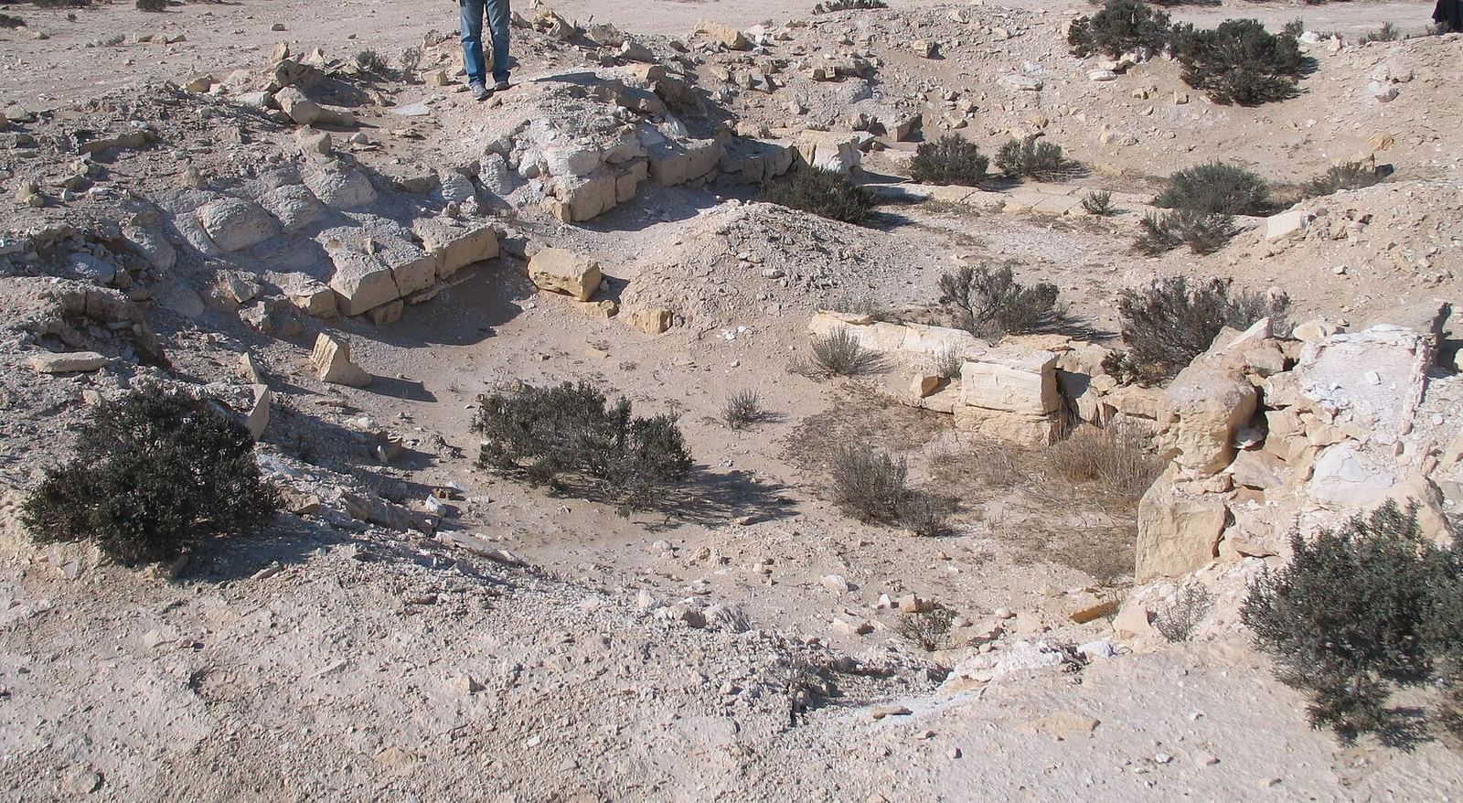
The archaeological city covers more than 1,000 dunams and has an oval plan. It lies on a plain about 20 kilometres southwest of Beersheba, near present-day Mashabei Sadeh, with the Besor Stream along its western side and the Atadim Stream to the east. The UNESCO property covers 52 hectares. The Nabataean settlement was concentrated in the eastern and southeastern parts of the site, while the Byzantine-period settlement focused on the northwest. Nabataean streets have been identified. Several wells and rectangular reservoirs supplied water, including one reservoir measuring 10 by 5 metres that served the western part of the city. Clay and earthen pipes carried water to a bathhouse and private houses.
Churches and possible temples
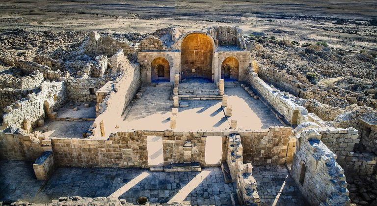
Two large churches have been identified, one in the eastern part of the city and one in the west. The eastern church may have been built on the site of an earlier Nabataean temple. A separate large building in the eastern area may also have served as a temple. These buildings form part of the remains associated with the city’s later urban arrangement, whose Byzantine-period settlement was focused in the northwest.
Public buildings and surrounding areas
The eastern area includes a theatre measuring 35 metres across, a mausoleum, and a residential quarter. Greek inscriptions dated to 454 and 455 were found in the theatre. South of the city are a pottery workshop and a structure that may have functioned as a stadium. A hippodrome, a venue for races and public spectacles, lies to the north, alongside cemeteries of the Nabataean and Late Roman periods.
Defensive features, burials, and inscriptions
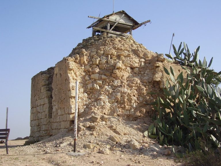
An early survey interpreted traces at the site as an enclosing wall with two gates. Defensive towers have also been identified, including one that stood more than 8 metres high. Excavations revealed late Ottoman infant burials in jars, a form commonly associated with nomads or itinerant workers of Egyptian origin. Numerous inscriptions have been found at Haluza. One Greek inscription naming the city has been tentatively dated to around 300 CE, during the reign of the Roman emperor Diocletian. Its discovery was announced in 2019.
Depictions and preservation
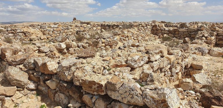
The sixth-century Madaba Map, a mosaic map of the Holy Land, depicts Elusa with watchtowers and red-roofed buildings, probably churches. The city’s remains are largely covered by sand, and the site appears to have survived without wholesale destruction.