Belintash: An Ancient Sanctuary in Bulgaria’s Rhodope Mountains
Site at a Glance
- Popularity
- Very High
- Country
- Bulgaria
- Primary era
- Stone Age
- Eras represented
- Stone Age, Classical, Modern
- Civilizations
- Thracian
- Site type
- Religious
- Remains
- Sanctuary
On this page21 sections
History
Proposed prehistoric sanctuary
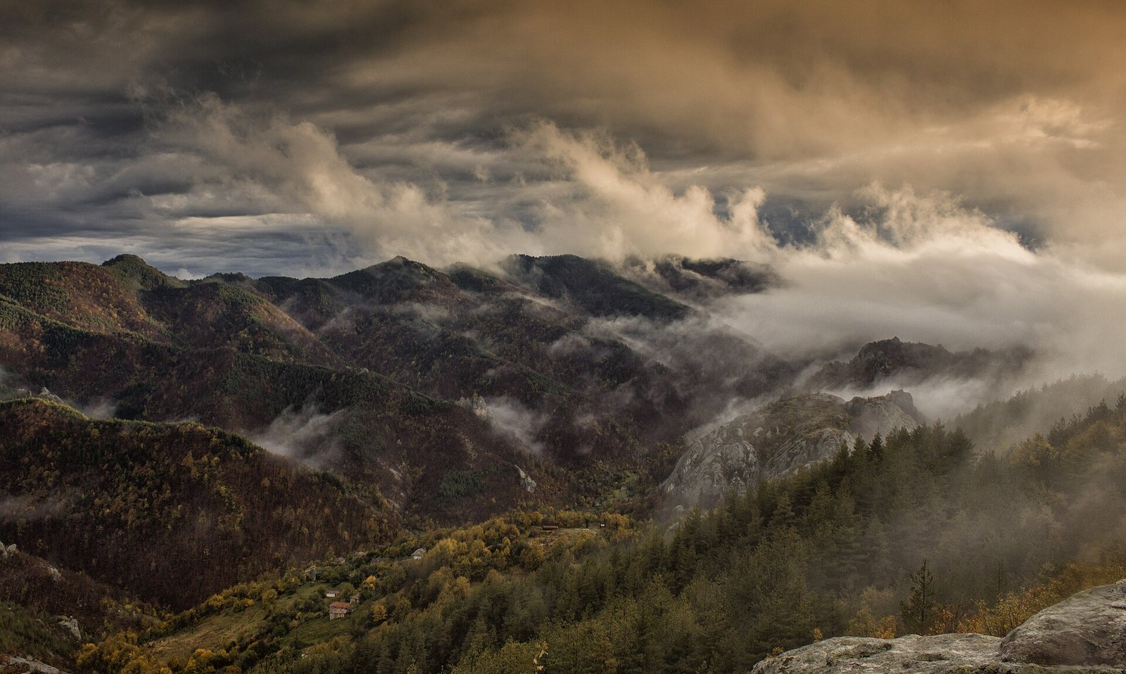
Belintash is a rocky plateau in Bulgaria’s Rhodope Mountains, about 30 km southeast of Asenovgrad, interpreted as an ancient sanctuary. Archaeologists have proposed that ritual activity began there in the fifth millennium BCE, during the Eneolithic, or Copper Age, a prehistoric period between the Neolithic and Bronze Age. The site’s original purpose remains debated.
Some interpretations connect Belintash with the Eneolithic temple complex near Dolnoslav. In this view, temples and public buildings stood at Dolnoslav, while priests at Belintash served a wider tribal cult. Both places have also been associated with a pronounced magnetic anomaly, a localized variation in the strength or direction of a magnetic field. Other proposals link the sanctuary to Sabazios, a deity worshipped in ancient Thrace and parts of Anatolia who was sometimes identified with Dionysus, or to the Bessi, a Thracian tribal group. These proposed associations remain unsettled.
Later prehistoric activity and destruction
Archaeological interpretations place activity at Belintash from the fifth millennium into the first millennium BCE. Pottery from the seventh and sixth centuries BCE is among the dated finds. Researchers have proposed that conflict brought a violent end to the sanctuary in the late fourth or early third century BCE. They interpret remains of a temple and a defensive wall, as well as rock displaced below the altar, as evidence of an attack.
Archaeologists have also argued that Belintash was probably not the famous Sanctuary of Dionysus said to have been visited by Alexander the Great, the Macedonian king and military conqueror. In their interpretation, the sanctuary had stopped functioning centuries before Rome conquered Thrace.
Archaeology and modern changes
The first archaeological studies took place in 1975. In the 1980s, a Bulgarian team studying archaeoastronomy, the ways ancient people observed and understood the sky, advanced the view that Belintash was both a Thracian sanctuary and a solar observatory. Limited test excavations in 2003 recovered mainly Iron Age material. Regular excavations resumed in 2010 under archaeologist Borislav Borislavov and continued in later seasons through 2015. The 2011 work identified a wall across the plateau and an entrance.
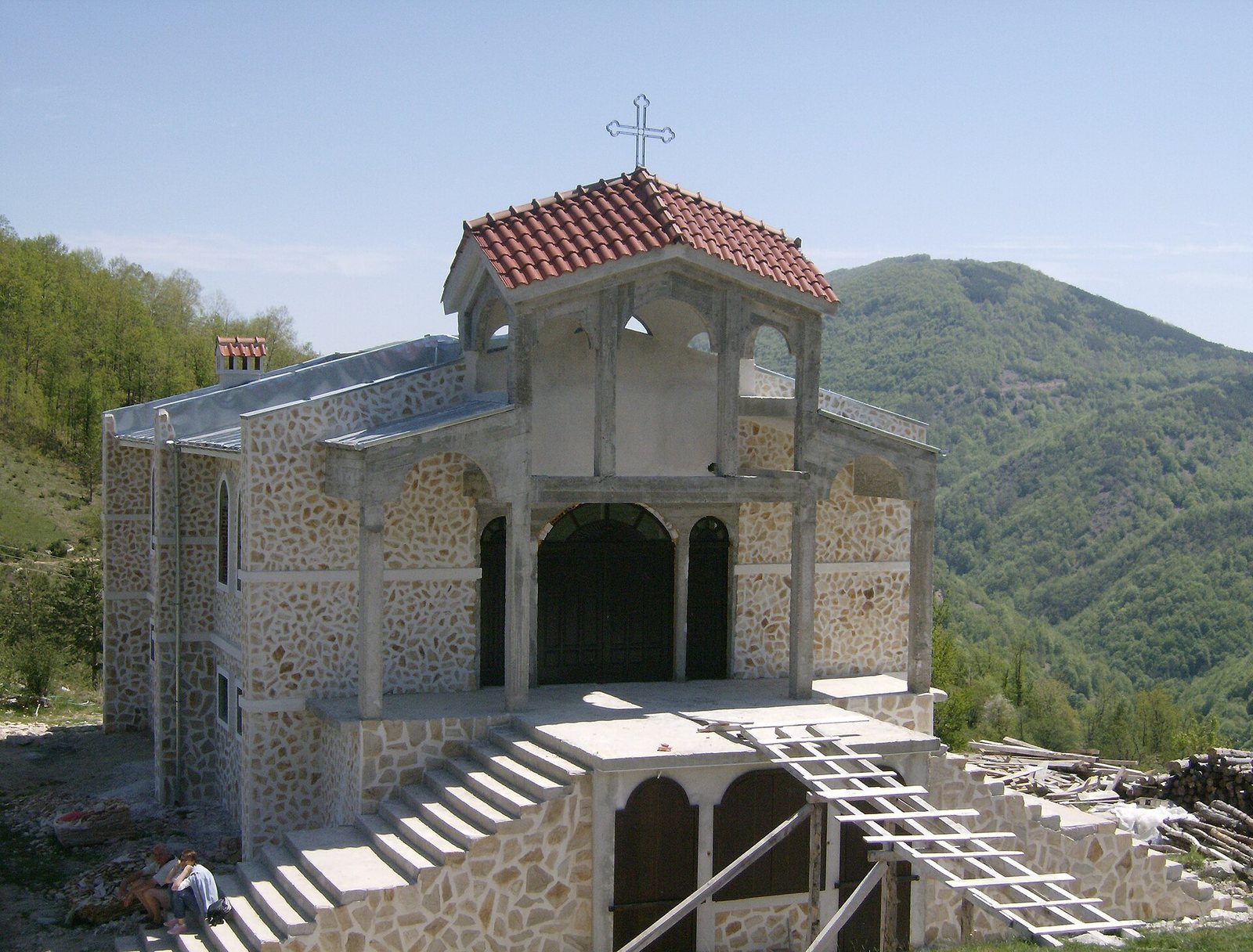
Belintash was declared a natural monument in 2003, with a protected area of 2.3 hectares. The site has also been affected by theft and treasure hunting. Three French citizens took archaeological finds from the area in 1868, and in 2003 archaeologists examined a large treasure-hunter’s trench near the northern massif. An Orthodox church building was completed within the sanctuary area. A court case challenged its building permit on the grounds that the construction lay within the sanctuary’s urbanized area.
Remains
Plateau layout and geology
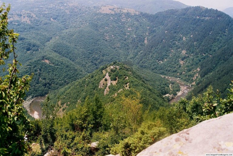
Belintash occupies a bare rocky plateau on the Dobrostan ridge, about 1,225 m above sea level. The elongated massif runs north to south and measures roughly 800–850 m long and 20–40 m wide. Its average slope is about 18 degrees to the east, and it rises around 50 m above the surrounding terrain. The upper area covers about 5,000 square metres; the altar plateau at the highest part extends for roughly 300 m. The rock formation is attributed to volcanic and tectonic processes within a pyroclastic flow, a fast-moving mixture of gas, ash, and volcanic rock fragments.
The plateau is divided into northern, central, and southern sectors, a division attributed to ancient subsidence of the rock. At its lowest point, the broad rocky area narrows into a gorge. Higher mountain ridges encircle the central altar plateau, which is visible from points around this outer ring. The site lies above the villages of Mostovo, Topolovo, and Dolnoslav.
Altar basins and seats
Two large basins cut into the altar plateau are often described as cisterns, and they retain water even on the hottest days. Stone seats are shaped into the rock around them. A 2003 survey measured a northern pit at 1.65 m in diameter and 1.75 m deep, and a central pit at 12.10 m in diameter and 2.8 m deep. Circular holes for beams around the larger basins indicate that a wooden structure once stood above them.
Approaches and carved rock
Steps and surface markings
Approaches to the central sanctuary pass rock formations and carvings described as human-shaped and animal-shaped. Cut steps, niches, channels, and geometric marks occur along the approach and across the plateau. Steps and niches are especially numerous in the north, and some steps lead from the north and northeast to the flatter summit area.
Hundreds of round holes occur across the plateau. About 300 are described in the northern and central sectors, while a 2003 survey counted more than 200 of varying diameter and depth. Some show signs of being worked by hand. Certain interpretations treat the holes and other markings as a map of the stars.
Carved forms and surrounding ridges
A carved cross and face-like forms are among the features identified in the northern part of the massif. In suitable sunlight, rocks below the altar have been described as resembling a large reclining lion when viewed from the north. Archaeologist Ana Raduncheva interpreted ridges visible from the Thracian plain as forming a reclining human figure, and identified at least three more such figures among the surrounding ridges.
Buildings and entrance
Building remains
Building remains and holes cut to hold beams occur at several points. Square beam sockets on the flat summit mark the base of a small building, while foundations of buildings have also been identified at two other locations on the plateau.
Cross-plateau wall and gate
Excavations in 2011 revealed a wall running across the plateau, interpreted as separating the sanctuary’s most sacred area from the rest. The excavators also identified an entrance with grooves for posts and tracks associated with a massive gate.
Archaeological finds
Pottery and tools
Substantial late Eneolithic pottery comes from the central sanctuary, from below the plateau’s cliffs, and from caves beneath them. A clay human-shaped figurine was found in a rock fissure. Excavations in 2003 recovered pottery from bowls, pots, jugs, and dishes, including perforated vessels that may have served as strainers. The finds also included an iron knife and a beam fitting. Much of this pottery was dated to the seventh and sixth centuries BCE, although material from an undisturbed layer was difficult to date precisely.
Objects from later excavations
Finds from the 2010 and 2011 seasons included a silver lid from an unidentified object, a bronze arrowhead, clay weights for looms and fishing nets, spindle whorls used in spinning thread, part of a vessel used to melt metal, pottery, tools, a bronze ornament, and fragments of a female clay figurine. Excavators also found fragments of small altars associated with offerings of wine, milk, and blood.
Silver plaque
A silver plaque depicting Sabazios, also interpreted as Dionysus-Sabazios, measures 12.3 by 8.2 cm and is held by the National Institute of Archaeology with Museum at the Bulgarian Academy of Sciences. Local resident Kiril Karadzhov found it by chance among rocks below the plateau in 1972. It passed from his family to a treasure hunter and was recovered in 1981 after efforts prompted by local researcher Nikolai Boev. Its date and authenticity are disputed. Ivan Hristov proposed a sixth- to fifth-century BCE date, citing similarities between its face and a gold mask from the Svetitsata burial mound. Borislav Borislavov questioned its authenticity, while other interpretations place it in the Roman period.
Rock sign and burial mounds
Rock sign
In 2003, archaeologists recorded a shallow cut sign on a rock spur about 250 m north of the main massif, at the approach to the sanctuary and 2 m above the rock’s base. It is described as 0.45 cm long, with individual marks 0.10 cm high and cuts 0.3–0.4 mm deep. A separate alleged petroglyph, called the Inscription of Belintash by anonymous visitors in 2006, has not been authenticated by archaeologists working at the site.
Burial mounds
Two stone burial mounds, dug by treasure hunters, lie about 500 m north of the plateau’s triangulation point and are associated with a burial ground. A 2013 survey of the surrounding area identified another mound at Tarlatsite, where the stone covering was taken to indicate a possible burial.
Modern structure
The sanctuary area also contains a building intended as an Orthodox church, together with a nearby platform and canopy.