Tell Brak: An Early Urban Center in Upper Mesopotamia
Site at a Glance
- Popularity
- Very High
- Country
- Syria
- Primary era
- Bronze Age
- Eras represented
- Stone Age, Bronze Age, Medieval
- Civilizations
- Abbasid, Akkadian, Byzantine
- Site type
- City
On this page26 sections
History
Tell Brak is an ancient settlement mound near the modern village of the same name in northeastern Syria. A tell is an artificial mound formed by successive layers of settlement. Occupation began around 6500 BC, and the site later became one of the earliest known urban centers in Upper Mesopotamia, developing before better-known southern Mesopotamian cities such as Uruk.
Settlement and urban growth
The earliest community was associated with the Proto-Halaf culture. During the seventh and sixth millennia BC, Halaf traditions gave way to those of the northern Ubaid. Urban growth began in the late fifth millennium BC. In Brak Period E, around 4200–3900 BC, the settlement spread beyond the mound, acquired defensive walls and a lower town, and covered about 55 hectares. During early Period F, around 3800–3600 BC, its area expanded to about 130 hectares. Evidence from this phase points to social tensions and increasingly organized warfare.
In later Period F, around 3600–3000 BC, contact with southern Mesopotamia intensified and an Uruk colony was established. Its inhabitants abandoned and deliberately leveled the colony around 3000 BC, after which the city contracted to the mound. Contact with the south continued during Period H, around 3000–2900 BC, when local materials resembled those of the southern Jemdet Nasr period. Migrants from the south had joined local communities during the Uruk period, creating a mixed society.
Nagar and regional power
During Periods J and K, around 2900–2400 BC, Tell Brak was a small settlement with a temple and activity involving seals. It revived around 2600 BC in a period associated with the Kish tradition, a cultural and political network linked to the Mesopotamian city of Kish. The city became the capital of Nagar, a kingdom that controlled much of the Khabur River valley. At its height, Nagar stood as a political and diplomatic equal of Ebla and Mari and included at least 17 subordinate cities. Nabada, an annexed city-state, became a provincial capital.
Nagar’s government was decentralized. Councils of elders had authority alongside royal representatives, and the ruler travelled through the kingdom to affirm his power. Rulers before the Akkadian period usually appear under the title En rather than by personal name. Mara-Il is the only ruler of that period identified by name in the Ebla records. Nagar’s relations with Ebla shifted between conflict and alliance. After a victory over Nagar, Ebla made a treaty with it, reinforced by the marriage of Ebla’s princess Tagrish-Damu to Ultum-Huhu, the son of Nagar’s ruler.
Mari later defeated Nagar in the seventh year of the Eblaite vizier Ibrium, disrupting routes that linked Ebla with southern Mesopotamia through Upper Mesopotamia. Ebla’s King Isar-Damu subsequently joined Nagar and Kish in an alliance against Mari. Led by the Eblaite vizier Ibbi-Sipish, the coalition won a battle near Terqa and then attacked Armi, a rebellious Eblaite dependent. Ebla fell about three years later, and Nagar was destroyed soon afterward, around 2300 BC. Much of the city was burned, but whether Mari or Sargon of Akkad was responsible remains uncertain.
Nagar was also a religious center. The goddess Belet Nagar, whose name means Lady of Nagar, became the kingdom’s principal deity, and her cult drew pilgrims from across the Khabur region into the early second millennium BC. The city also had connections with the worship of Kura at Ebla and with the temple of Dagon at Tuttul. Trade linked Nagar particularly with Ebla and Kish. The city was known for breeding and trading kungas, hybrids of female donkeys and male Syrian wild asses, which pulled royal vehicles before horses were used for draft work.
Akkadian rule and Hurrian succession
After Nagar’s destruction, the Akkadian Empire, founded by Sargon of Akkad, rebuilt the city as a provincial administrative center. Akkadian control was interrupted before the reign of Naram-Sin amid internal conflict; this disruption may have coincided with environmental change that contributed to regional desertification. Hurrians, an ancient people of northern Mesopotamia, expanded into the region during the later years of Sargon’s reign. They called the city Nawar, and rulers of nearby Urkesh adopted the title King of Urkesh and Nawar.
Naram-Sin restored firm Akkadian authority. During his reign, the building now called the Palace of Naram-Sin burned, possibly during an attack by the Lullubi. Tell Brak was burned again near the end of the Akkadian period, around 2193 BC, probably by the Gutians. Afterward, an independent Hurrian dynasty ruled Nagar. A seal names its king Talpus-Atili, who reigned during or shortly after Shar-Kali-Sharri. The city’s population included Hurrian and Amorite groups, and Amorite Yaminite tribes settled nearby during the reign of Zimri-Lim of Mari.
In the Middle Bronze Age, during Period P, about 1820–1550 BC, Tell Brak came under Mari. It was the scene of a decisive victory by Mari’s king Yahdun-Lim over Shamshi-Adad I of Assyria. Nagar later lost political importance and came under Kahat in the eighteenth century BC.
Mitanni, Assyria, and later occupation
Around 1500 BC, Tell Brak was an important trading city in Mitanni, a Hurrian-led kingdom. Two legal documents found at the site bear the names of Mitanni’s kings Artashumara and Tushratta; Tushratta ruled about 1380–1345 BC. The city had commercial connections involving Egypt, the Hittites, and the Mycenaeans, and some goods associated with these contacts were made locally for regional buyers. Hurrian was Mitanni’s official language, while Akkadian remained the international language used in the region.
Assyria destroyed the city in two attacks between about 1300 and 1275 BC, first under Adad-Nirari I and then under his successor Shalmaneser I. Settlement on the mound later remained limited, although small villages occupied the lower town during the Assyrian period. A Hellenistic settlement stood on a separate mound northwest of the main site. In the middle of the first millennium AD, a fortified building was constructed in the northeastern lower town. The site’s final occupation took place in the early Abbasid period, when a canal brought water from the Jaghjagh River. Tell Brak then disappears from the historical record.
Excavation and recent history
Antoine Poidebard carried out test excavations in 1930 and surveyed the site in 1934. Max Mallowan excavated there in 1937–1938. A project directed by David and Joan Oates conducted 14 seasons of work between 1976 and 1993, followed by further excavations under other field directors. Augusta McMahon became field director in 2006. From 2002 to 2005, Henry T. Wright led a regional survey that combined fieldwork with satellite imagery and historical photographs. Excavations took place in spring 2011 and stopped after the Syrian Civil War began. The archaeologists’ camp was looted during the conflict, and control of the site shifted among armed groups, including the Kurdish People’s Protection Units and the Islamic State of Iraq and the Levant. Kurdish forces took Tell Brak in early 2015.
Remains
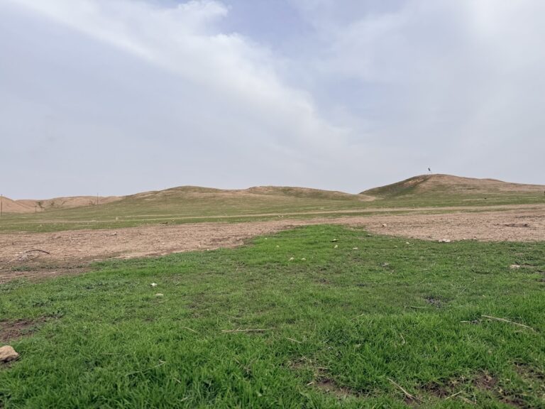
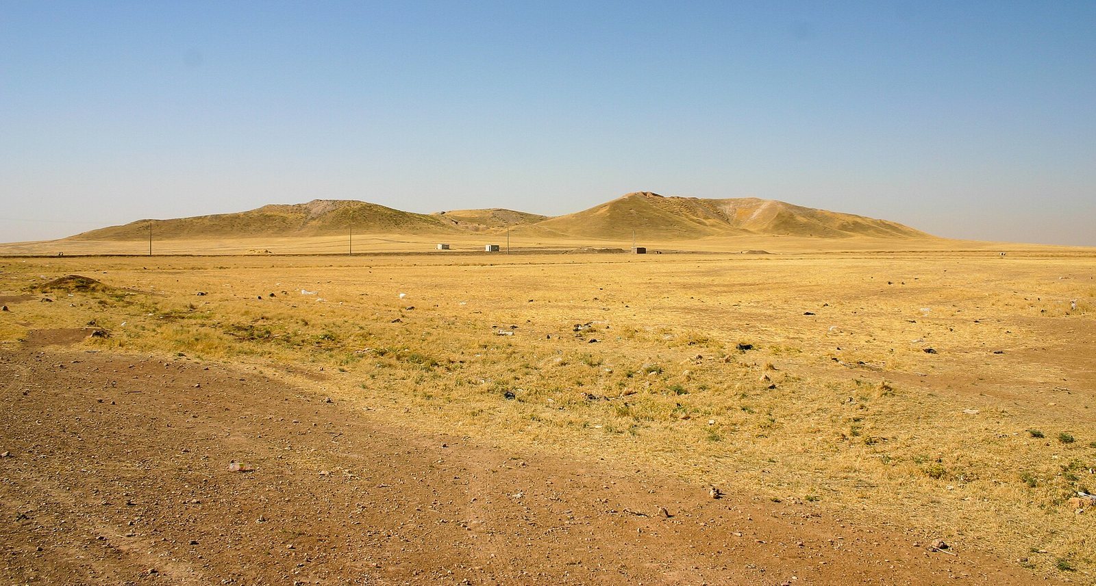
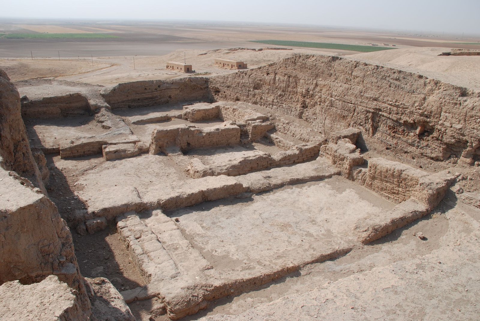
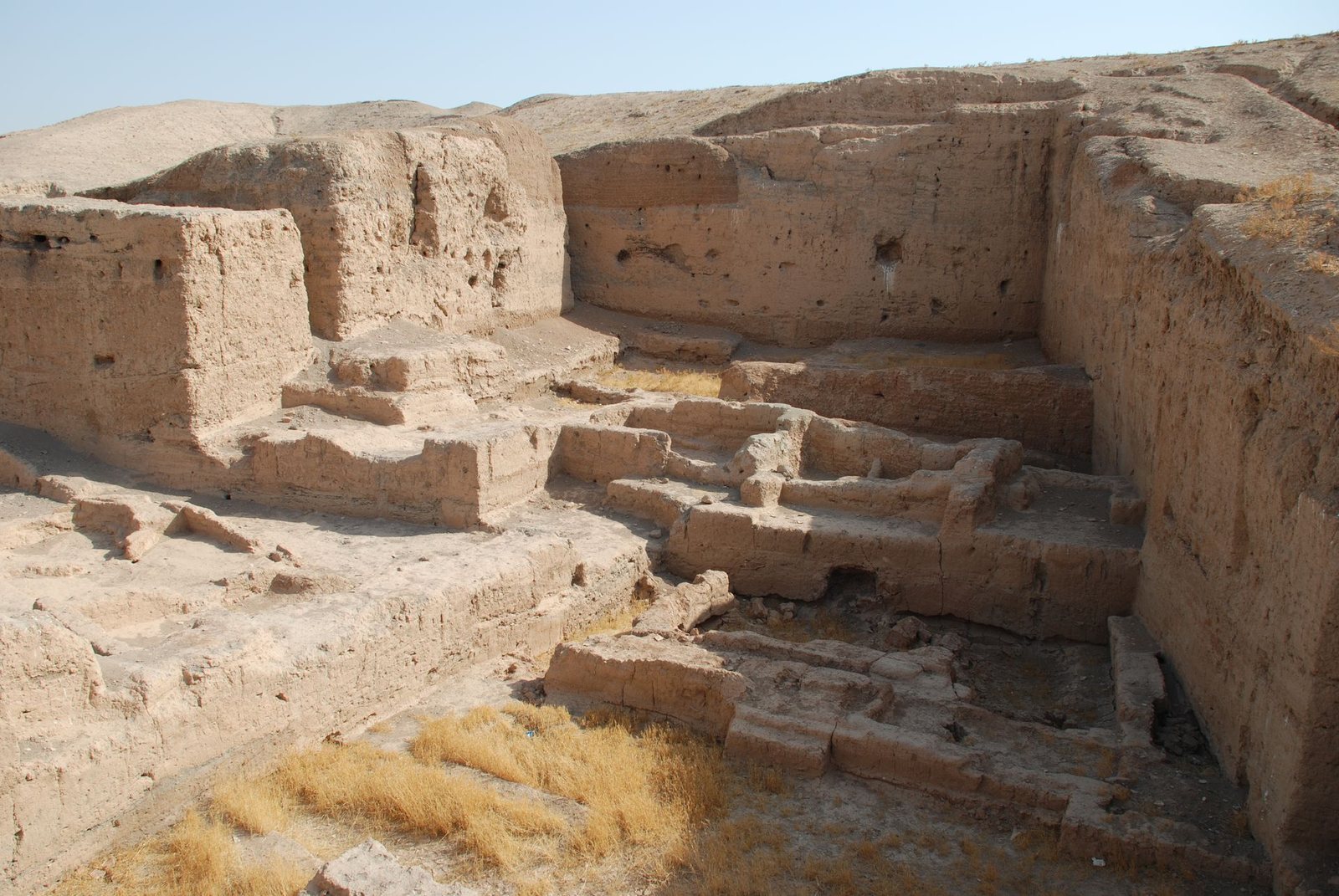
The site centers on a mound about 40 metres high, with settlement areas extending beyond it. Its remains include layered buildings, lower-town areas, temples, public structures, and a dried lake to the east. Construction materials vary across the excavated remains, including rectangular bricks, thick walls, basalt thresholds, timber panels, and stone objects.
Settlement layout and early buildings
Mound and lower town
Tell Brak’s central mound is surrounded by the remains of built-up areas beyond its summit. During the Akkadian period the settlement included the full mound and a lower town along its southern edge. The later Mitannian settlement extended north into the lower town, much of which has since been destroyed by modern agriculture. East of the mound, a dried lake appears on the Roman map Tabula Peutingeriana as Lacus Beberaci, meaning Lake of Brak. The lake’s name may preserve an echo of the ancient city’s name.
Area TW
A monumental building in Area TW had walls about two metres thick and a threshold made of basalt. A street paved with potsherds ran in front of it toward the northern entrance to the city. The excavated area covered nearly 600 square metres and reached about 10 metres below the surface. Beveled-rim bowls among its finds are characteristic of the Uruk period.
Tell Majnuna
Tell Majnuna, a refuse mound about 600 metres northeast of the main mound, accumulated from rubbish over two centuries. Four mass graves lay beneath it. The burials contained mainly sub-adults and young adults, and their setting contributes to evidence for the pressures associated with urban growth.
Temples and ritual architecture
Eye Temple
The Eye Temple was built in several levels. Its earliest red and grey levels belong to the third phase of the Late Chalcolithic, while a third level dates to the fifth phase, around 3200–3000 BC. A later white level belongs to the final Jemdet Nasr phase of the fourth millennium BC. Two buildings of the following Early Dynastic I period were also identified. The temple’s main room had wooden panels, and its façade used half-columns, the earliest known example of this form. Later phases included mosaics made with clay cones set into surfaces.
Thousands of small figures with prominent eyes or spectacle-shaped tops came from the temple and Area TW; some are made of alabaster. They may have been offerings to a deity. The temple may have been dedicated to Inanna, a Sumerian goddess, or Ishtar, a Semitic goddess. The scholar Michel Meslin proposed that the figures represented an all-seeing female deity.
Temple in Area TC
A small temple in Area TC, beside the Brak Oval, dates to the Ninevite 5 period, around 2700 BC. It consisted of one room with a built altar. More than 500 seals were concealed within the altar.
Royal and public buildings
Brak Oval
The Brak Oval in Area TC was an administrative building or temple associated with Nagar’s kingdom. Its outer wall curves around the structure. Although this form recalls the Oval Temple at Khafajah in central Mesopotamia, the two buildings have different plans.
Buildings in Areas SS and FS
Public buildings from the Akkadian period stood in Areas SS and FS. The Area FS building included a temple and lay near the northern city gate. It may have served as a caravanserai, a stopping place for merchants and their caravans.
Palace of Naram-Sin
Parts of the Palace of Naram-Sin were built over the earlier Eye Temple. Despite its name, the building was closer to a fortified depot for storing collected tribute than to a royal residence. The structure burned during Naram-Sin’s reign, possibly in a Lullubi attack. Hurrians later rebuilt it.
Mitannian and later structures
Mitannian palace and temple
The northern part of the mound contained a two-storey palace and an associated temple from the Mitannian period. These buildings formed part of the settlement on the mound, while the lower town extended beyond it.
Fortified building
A fortified building stood in the northeastern lower town during the middle of the first millennium AD. Its sixth-century date is based on its architectural features.
Abbasid canal
A canal constructed during the early Abbasid period brought water from the nearby Jaghjagh River to the settlement.
Objects and evidence of use
Writing, seals, and tokens
Tell Brak has yielded Uruk-period numerical tablets, later cuneiform texts, inscriptions, and seals from the city and Nabada. Cuneiform is a writing system used in ancient Mesopotamia and neighboring regions. Cylinder seals, small engraved cylinders rolled across clay to make impressions, record practices including the use of four-wheeled wagons and war carriages. Clay tokens from mainly Uruk-period fill include pellets, cones, discs, and oval objects; large stone spheres and polished, teardrop-shaped pieces also came from late Uruk deposits.
Vehicles and animal remains
Clay models from Areas FS depict four-wheeled vehicles and two kinds of two-wheeled vehicle, one with fixed seats and another in which the driver stood above the axle. These Akkadian and post-Akkadian vehicles predate the chariots introduced in the Mitannian period. Six donkey skeletons and one dog skeleton lay in deposits dated to the Akkadian period beneath a temple courtyard.
Crafts, sculpture, and pottery
A cache of beads included carnelian, gold, silver, and lapis lazuli. Other finds include late third-millennium arrowheads, stone maceheads, shell inlays, and an alabaster statuette of a seated bear. The Tell Brak Head, a sculpture dated to about 3500–3300 BC, is held by the British Museum; objects excavated by Mallowan are also held by the Ashmolean Museum and the National Museum of Aleppo. Many finds from the site are displayed in the Deir ez-Zor Museum.
Pottery includes Khabur ware and Nuzi ware, two named ceramic traditions. The final phase of Khabur ware, around 1500 BC, was broadly contemporary with Nuzi ware, and the two styles overlapped at Tell Brak before Khabur ware disappeared. Elaborate Nuzi vessels were found alongside seals that combine Mitannian features with international designs of the period.