Kleinkastell Haselburg: A Roman Frontier Fort in Germany
Site at a Glance
- Popularity
- Low
- Country
- Germany
- Primary era
- Classical
- Eras represented
- Classical
- Civilizations
- Roman
- Site type
- Military
- Remains
- Fort
On this page22 sections
History
Kleinkastell Haselburg was a Roman military fort near Walldürn in Baden-Württemberg, Germany, occupied from no earlier than about 159/160 until around 259/260. It guarded the Front Limes, part of the Upper Germanic-Raetian Limes, the Roman Empire’s frontier system in central Europe. The date when this stretch of frontier was built remains uncertain, but evidence has shifted attention from an earlier estimate around 155 toward coordinated construction around 160–161, possibly alongside the Raetian frontier.
Frontier construction and garrison
Several finds support the later proposed date for the wider frontier. Timber at Osterburken was felled in the winter of 159/160, and other wood there dates to 161. A well associated with a fort at Murrhardt dates to about 159, while evidence also points to a military transfer around 160. An older stone spring installation beneath the Osterburken temple and an inscription from Jagsthausen dating to the reign of Antoninus Pius, a Roman emperor, complicate the chronology. The inscription’s connection to the frontier is uncertain.
Haselburg probably housed a detachment of about 60–80 soldiers, organized as a century, a Roman army unit usually commanded by a centurion. The troops may have come from Miltenberg or Walldürn. During the frontier’s final period, women also took shelter inside the fort.
Three building phases
The fort was built in three phases. Its first timber-and-earth defenses burned after a short period and were replaced by a larger earthwork fort that retained the original internal arrangement. Toward the end of the second century, the timber defenses gave way to a stone wall.
Withdrawal and later reuse
In the fort’s final period, the defensive ditch was no longer maintained and received household refuse. The latest coin found there, beneath collapsed wall material, was an antoninianus, a later Roman coin denomination, minted no earlier than 259 during the reign of Gallienus. Such late coins from this frontier section are known at Haselburg and Kleinkastell Rötelsee.
Around 259/260, Roman forces withdrew from the remaining frontier installations as Rome abandoned the Agri Decumates, the territory between the Rhine and Danube, during the third-century frontier crisis. Some frontier sites may already have been destroyed; Haselburg appears to have been deliberately evacuated at this time.
The enclosure wall apparently remained in good condition into the eighteenth century. Much of its stone was reportedly reused for the church at Reinhardsachsen, whose shell was complete by 1726, and later for road building. The often-repeated date of about 1780 for the church is incorrect and may instead relate to road works.
Excavation and conservation
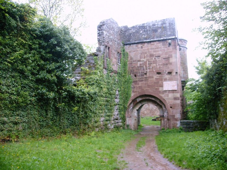
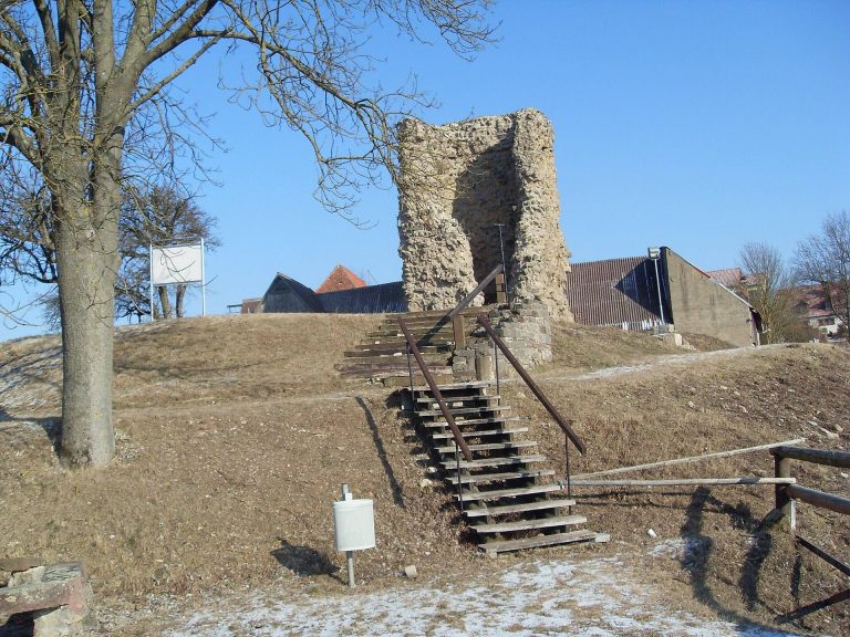
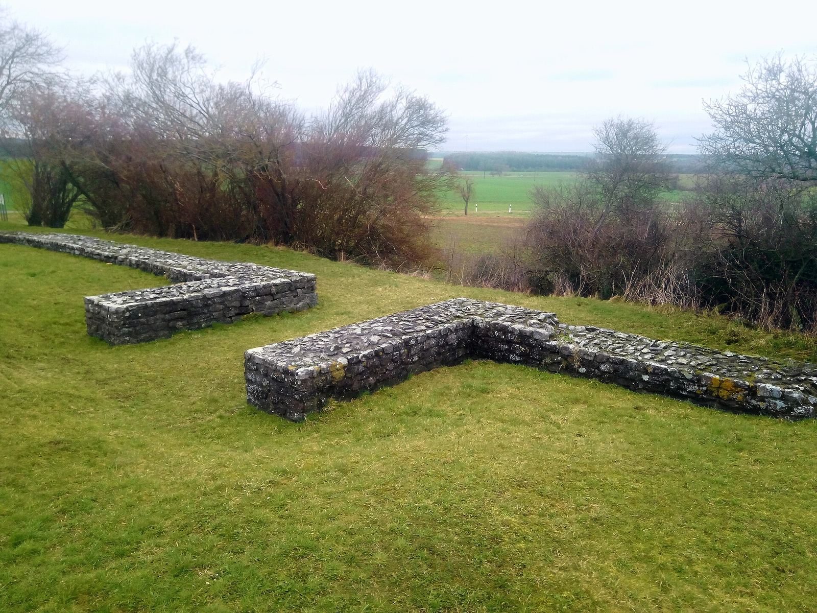
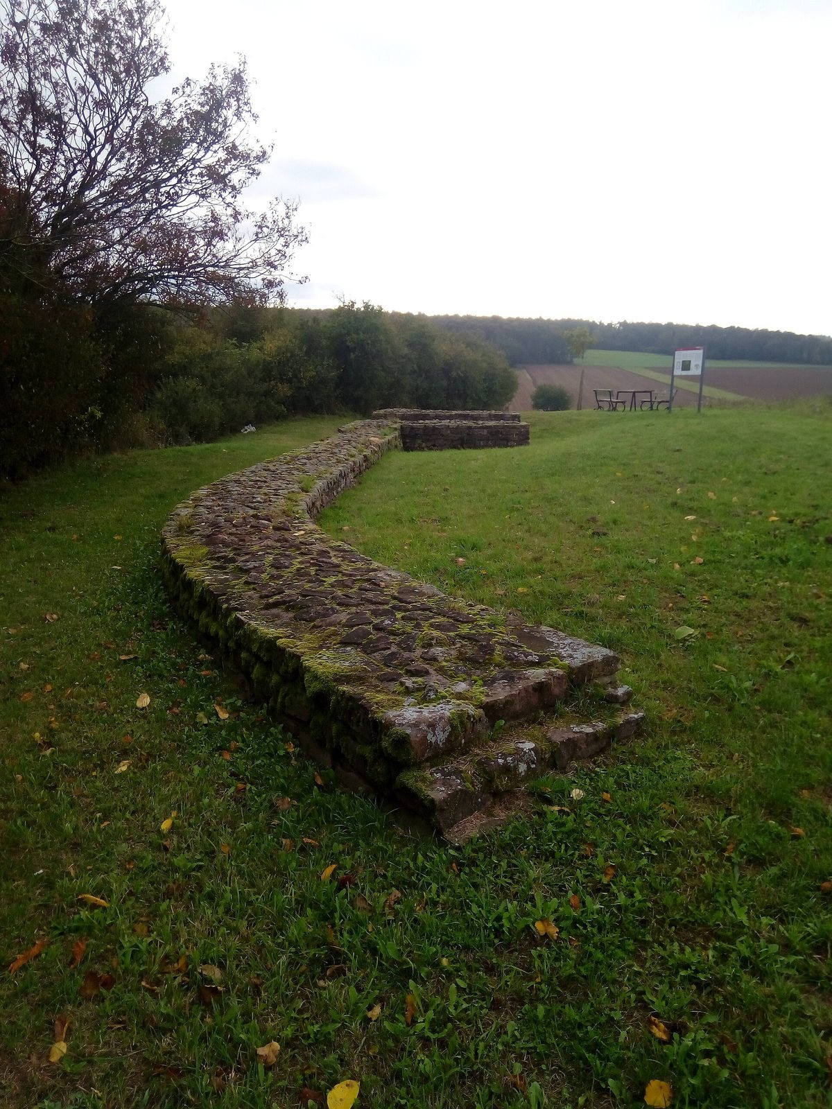
An initial investigation took place in 1880. Wilhelm Conrady led a larger excavation in 1892 for the Imperial Limes Commission, but the excavation records were inadequate. Loose stone, burnt clay, and Roman pottery could still be found in the cultivated field in 1931, while continued intensive farming damaged the buried remains. In 1975, archaeologist Hans Ulrich Nuber led an excavation across 1,800 square metres. The excavated area around the East Gate was acquired, and the gate was partly reconstructed and conserved in 1980.
Since 2005, Haselburg has formed part of the UNESCO World Heritage property of the Upper Germanic-Raetian Limes. It is also protected under Baden-Württemberg’s state monument-protection law.
Remains
The fort occupied a low rise that slopes gently east on a ridge between the Hambrunner and Kaltenbach valleys. The frontier line runs almost straight from northwest to southeast along the ridge, with little adjustment to the terrain; the fort stood about 70 metres away. From the ramparts, watchtowers to the north and south could be observed, including those beyond a narrow saddle to the south. To the east, sightlines reached toward the Kaltenbach’s meeting with the deeply cut Storchsklinge valley. Nuber proposed that an approach from beyond the Roman frontier climbed through the boundary works from this direction and needed to be watched.
Enclosure and defenses
First timber-and-earth fort
The first enclosure was a rounded-corner rectangle measuring 41 by 37 metres, covering about 0.15 hectares. A palisade formed its defenses. The principal East Gate faced the frontier, while a West Gate stood at the rear; a road ran between them inside the fort. Each later phase retained the two-gate arrangement.
Expanded earthwork fort
The replacement fort kept the rounded corners and earlier internal arrangement but extended the enclosure eastward. It measured 52.5 by 43.5 metres and covered about 0.22 hectares. Its rampart was about three metres wide, faced on the outside with timber planks and supported inside by closely spaced posts beside a 1.8-metre-wide perimeter road. Each gate had a three-metre passage carried on four large timber posts, with a wooden tower above it. A continuous V-shaped ditch, about 4.8 metres wide and 2.3 metres deep, surrounded the fort. Wooden bridges crossed it at the gates.
Stone fort
The later fort kept the larger footprint, rounded corners, and two entrances. A wall of red and grey sandstone, 1.2 metres thick, stood immediately in front of the earlier rampart. The East Gate was 3.75 metres wide, with side walls 1.2 metres thick projecting 3.1 metres into the fort. The West Gate was 2.3 metres wide, with side walls 2.65 metres long and one metre thick. Drainage channels passed through the gates. The surrounding ditch retained its earlier dimensions and continued across the gate fronts, where bridges were required for crossing.
Internal buildings and water features
Barracks and command rooms
Long, rectangular timber-framed barracks stood on sill beams alongside the internal road. Their rooms followed a standard Roman arrangement, with a larger front room and a smaller sleeping room behind it for each small troop unit. The eastern end building of the southern barrack was reserved for the commander, while the northern barrack’s end section was set aside for his deputy. Both rooms had cellars set below ground level.
Northeast building
A timber-framed corridor building in the northeast corner measured 11.6 by 7.5 metres. Its passage crossed the short side, with three nearly equal rooms on each side. It may have served as a storage building.
Cisterns and shaft
A large rectangular pit near the fort’s centre, thought to be a cistern, interrupted the internal road. A second cistern of similar size was built somewhat later near the West Gate, offset from the road beside the corner of the southern barrack. A shaft in the southwest may have served workshops in that area.
Features outside the enclosure
Stone barriers
Irregular stone barriers outside the ditch belong to the fort’s latest period. They were up to 2.2 metres wide and sometimes extended into the ditch. On the southern side, one barrier ran almost parallel to the ditch and crossed a pit containing late material. Their purpose is uncertain.
Settlement and suspected bath
Finds point to a small settlement outside the fort along the road leading from the rear West Gate. A military bath is suspected about 180 metres southeast of the wall, above a spring.
Altar stone
An altar stone found in the field in front of the fort before the 1892 excavation bears images of a libation jug and a libation ladle. Its inscription was damaged beyond legibility.
Finds from the fort
Hoard of equipment and objects
Excavators recovered a hoard from inside the fort, stored in the remains of a decayed wooden box. Its roughly 20 bronze and iron pieces included a shortened sword with a schematic inlaid image of Victoria, the Roman goddess of victory, hovering just in front of the hilt. The hoard also contained other weapons, tools, agricultural equipment, a fitting for a yoke, kitchenware, fittings, keys, nails, and two bronze rings.
Coins
Nuber’s excavation recovered 13 coins from within the fort. The latest was a silver denarius dating to the reign of Severus Alexander. The later coin from the ditch belongs to the fort’s final period.
Pottery and inscriptions
Some pottery bears scratched marks that appear to preserve soldiers’ names. A stamp identifies the potter Martialis, whose wares came from Chémery-Faulquemont in eastern Gaul or one of its branches. Although his main production belongs to the late first and early second centuries, the Haselburg stamp, together with stamps from Chémery, indicates that his pottery continued to circulate until about the middle of the second century. Other stamped pottery is associated with Trier or Rheinzabern, with marks reading “COSTA F” and “NIVALIS,” and with Sinzig, including the mark “NASSO F.”