Azekah: An Ancient Judahite Border Town
Site at a Glance
- Rating
- 4.6
- Popularity
- Medium
- Country
- Israel
- Primary era
- Iron Age
- External website
- Open
- Eras represented
- Bronze Age, Iron Age, Classical
- Civilizations
- Assyrian, Canaanite, Israelite, Roman
- Site type
- City
On this page8 sections
History
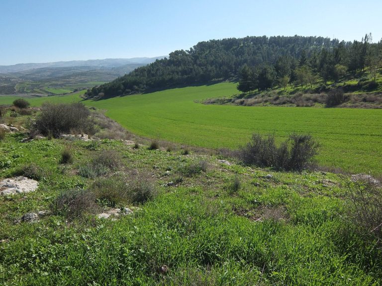
Azekah is an ancient town in Israel, located in the Shephelah, the hilly lowland between the Mediterranean coastal plain and the Judean highlands. Occupied from the Canaanite period, it prospered especially during the Late Bronze Age and Iron Age II, the later Iron Age phase associated with the kingdoms of Israel and Judah. Its position above the Valley of Elah made it an important Judahite border settlement and a strongpoint on routes connecting Gath, the Judean hills, Beth-shemesh, and Lachish.
Canaanite and Judahite periods
Biblical traditions associate Azekah with the defeat of the Amorite kings by Joshua, the Israelite leader traditionally linked with the conquest narratives of the Hebrew Bible. The same traditions describe a hailstorm destroying the defeated army and assign the town to the tribe of Judah. Archaeological work has identified a major fire that destroyed the Canaanite city in the twelfth century BCE.
During the reign of Saul, the Philistines gathered between Socoh and Azekah in the Valley of Elah. Goliath appears in the biblical account as their champion, while the Israelite army held the eastern side of the valley. Later, Rehoboam, a king of Judah whose reign followed the division of the united monarchy, fortified Azekah along with Lachish and other strategic towns.
Azekah became one of Judah’s principal western border cities during the seventh and sixth centuries BCE. The Assyrian king Sennacherib captured and destroyed it during his 701 BCE campaign against Judah, a war fought during the reign of Hezekiah. An Assyrian inscription describes the capture, while the site preserves archaeological evidence of the assault, including a siege ramp, an embankment used to bring troops and equipment toward the fortifications.
Babylonian conquest and later history
The town was rebuilt during the seventh century BCE before the Babylonian invasion. In the early sixth century BCE, Azekah again served as a border fortress during Babylon’s attack on Judah. The biblical account describes Lachish and Azekah as the last fortified towns remaining in the Judean lowlands before Jerusalem fell. Lachish Letter 4, an ostracon, or written text on a pottery fragment, refers to signal communication between the two fortresses and indicates that Azekah had already been conquered when its signal fires could no longer be seen from Lachish.
After the Babylonian captivity, families from the tribe of Judah resettled Azekah. During the Persian period, the era of Achaemenid Persian rule that followed the Babylonian conquest, part of the site’s water infrastructure was reused for a mass burial. Later traditions preserve uncertain memories of the town. Epiphanius of Salamis said that Azekah was known by the Syriac name Huwarta, while the fourth-century writer Eusebius placed it between Eleutheropolis and Jerusalem. By the sixth century CE, the Madaba Map identified a nearby location as Beth Zacharia, or the site of Saint Zacharias. The relationship between that place, Azekah, and other sites called Beth Zacharia remains uncertain.
Identification and archaeological investigation
The modern identification of the tell, an archaeological mound formed by successive settlements, developed during the nineteenth century. J. Schwartz identified Tell Zakariya with biblical Azekah through written evidence, and William F. Albright and R. A. Stewart Macalister supported the identification. In 1953, Israel’s Government Naming Committee adopted the name Tel Azekah for Khirbet Tall Zakariya, although the identification has continued to be debated.
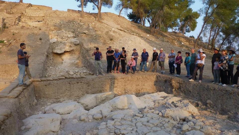
Frederick J. Bliss and R. A. Stewart Macalister conducted three excavation seasons between 1898 and 1900 for the Palestine Exploration Fund, making Azekah one of the earliest archaeological excavations in the Holy Land. They worked for a total of 17 weeks and refilled the trenches afterward to help preserve the site. Surveys in 2008 and 2010 preceded a renewed international expedition that began in 2012 under Oded Lipschits, Yuval Gadot, and Manfred Oeming as part of the regional Elah Valley Project. Its first season involved about 300 volunteers working for six weeks and uncovered walls, installations, and hundreds of artifacts. Excavations continued thereafter, including work reported from 2019.
The renewed investigations revealed a substantial destruction layer from the twelfth century BCE, when the Canaanite city was destroyed by fire. They also identified later destruction phases associated with Iron Age II, including the Assyrian conquest. A preliminary report published in 2021 examined the Late Bronze Age destruction, Iron Age IIA occupation, and Iron Age IIB destruction. The site lies within Britannia Park, a Jewish National Fund park.
Remains
Tell and settlement layout
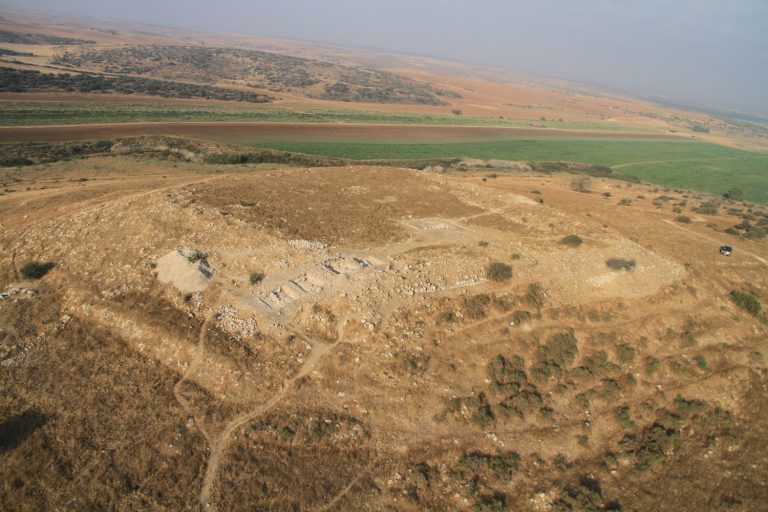
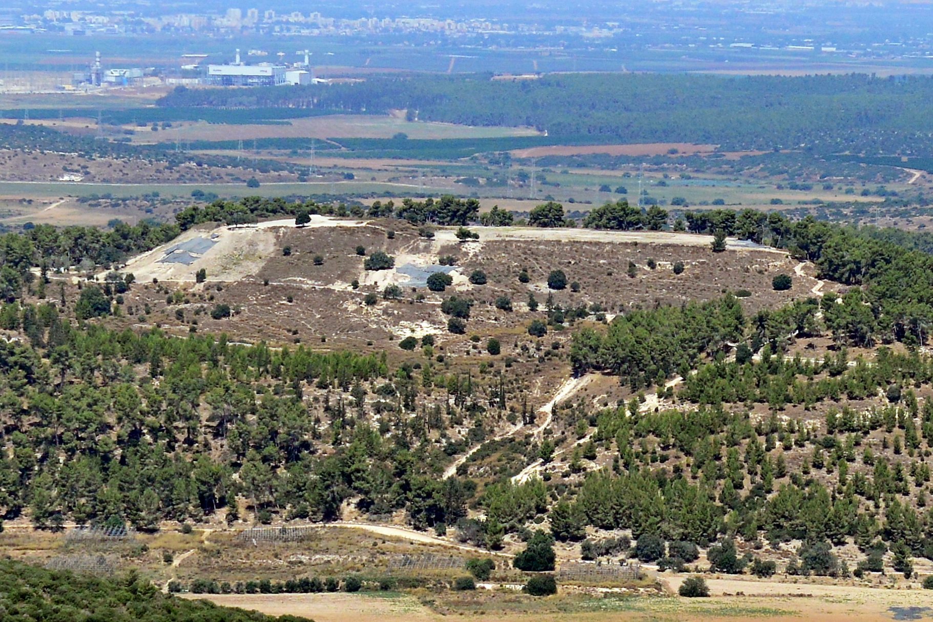
Tel Azekah is a pear-shaped tell whose pointed end faces north. The summit rises about 347 metres above sea level and approximately 117 metres above the channel of the Valley of Elah, covering about 45 dunams, a traditional unit of land area used in Israel. The mound occupies the northern end of a north-south mountain ridge that forms the boundary between the higher Shephelah to the east and the lower Shephelah to the west.
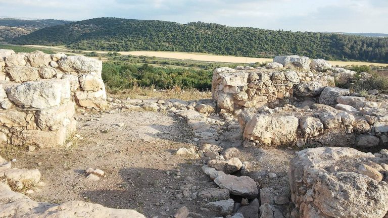
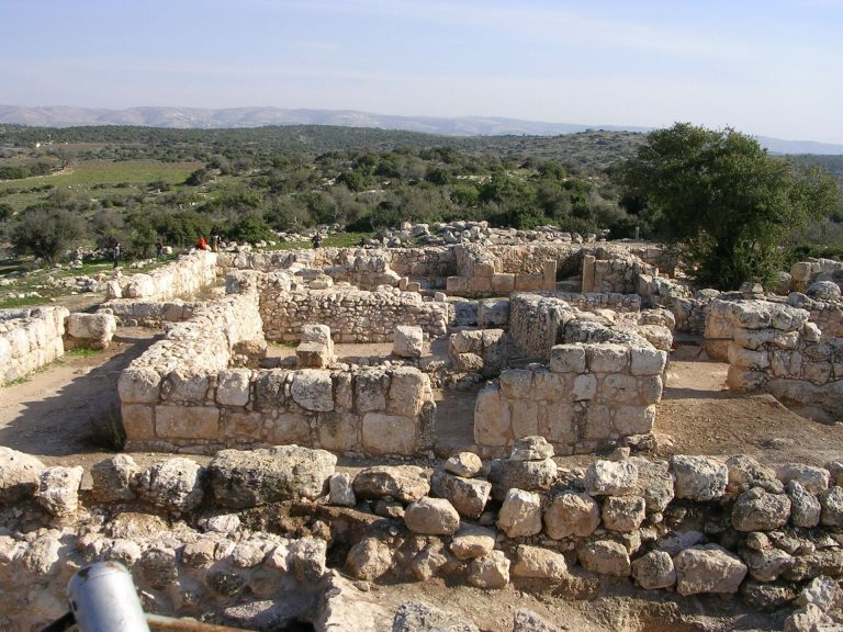
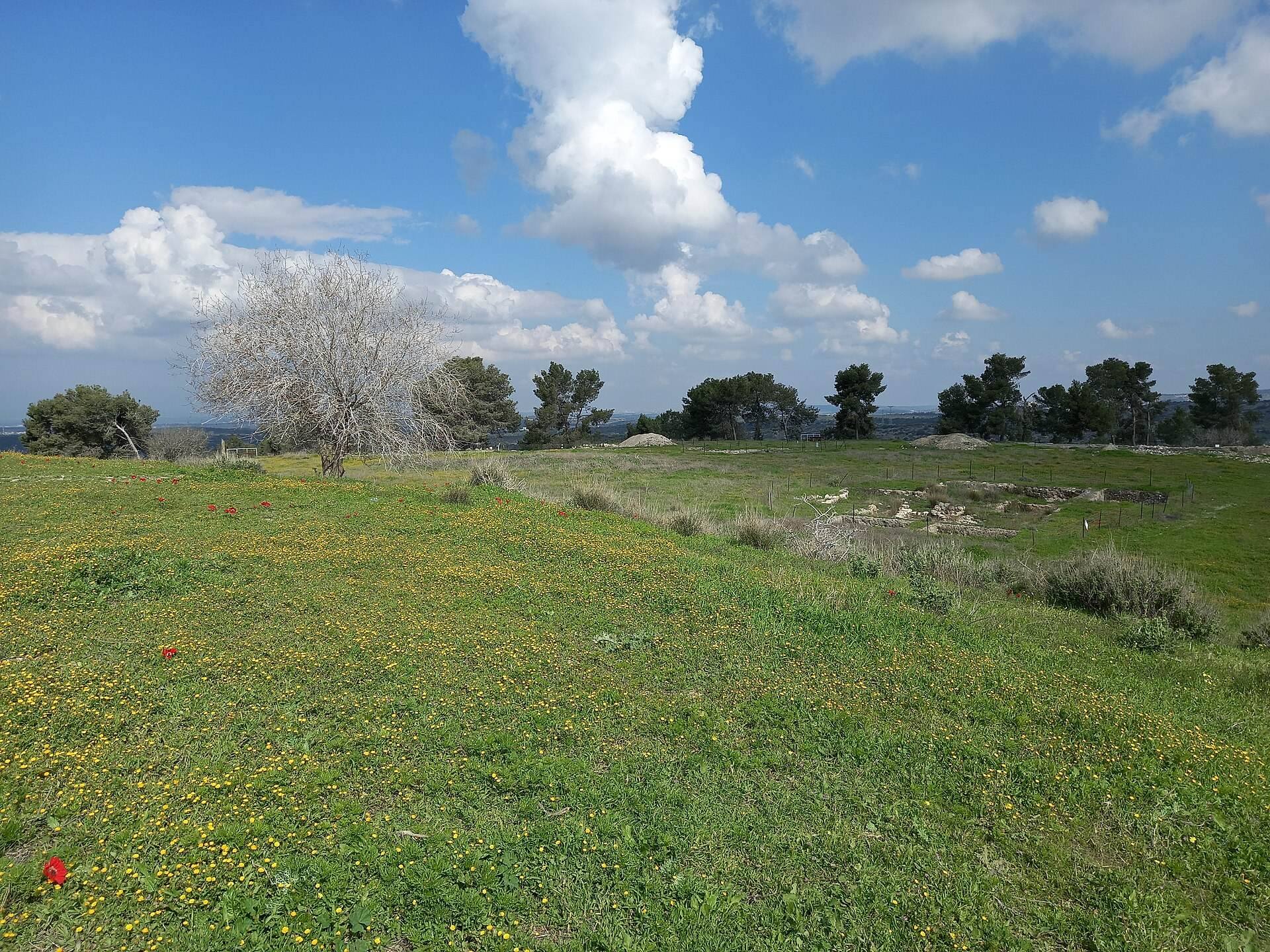
Settlement layers principally from the Late Bronze Age and Iron Age II survive across the tell. The remains include a fortress, towers, water systems, an ancient olive press, hideout caves, and other installations. An earlier excavation concentrated on the southwestern edge of the summit, the southeastern corner, and a test pit in the centre. Foundations of three towers were found along the southwestern edge, while the southeastern area contained a fortress built mainly from hewn stones.
Walls and fortifications
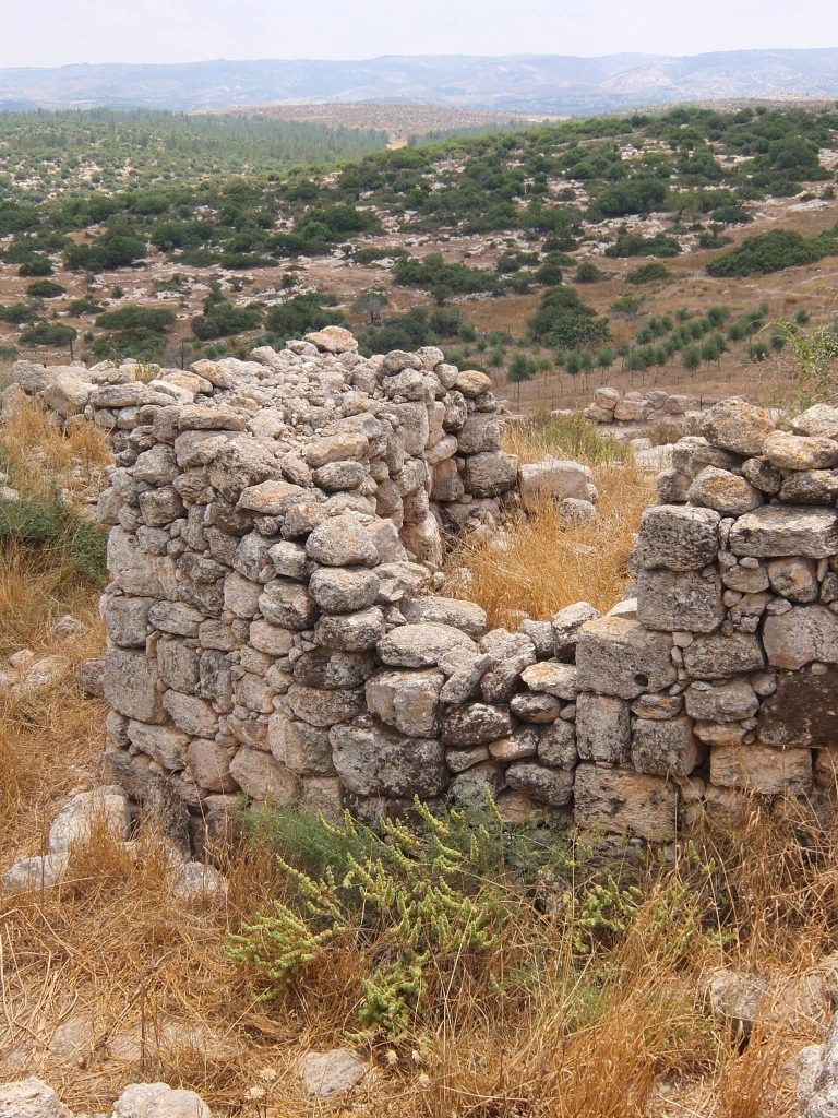
The encircling wall shows repeated rebuilding. Some of its stones have forms and masonry considered characteristic of Maccabean, or Hasmonean, construction. Towers without a clearly connecting wall were attributed to the Roman period, while upper sections of some walls were assigned to the Hellenistic period. The southeastern acropolis, the elevated fortified section of an ancient settlement, was associated with the fortifications attributed to Rehoboam.
An Assyrian siege ramp survives at the southeastern corner of the tell. It belongs to Sennacherib’s 701 BCE campaign against Judah and is comparable to the siege ramp at Lachish. The feature preserves a physical trace of the attack that destroyed Azekah and connects the site’s fortifications with the wider military campaign recorded in Assyrian and biblical traditions.
Water systems and later use
Archaeological work exposed water systems and a former cistern. During the Persian period, the cistern was used for a mass burial containing the remains of 89 children younger than five, probably mostly infants, together with several adults. The burial has been interpreted in relation to high child mortality during that period and burial customs in which very young children were not always placed in separate graves.
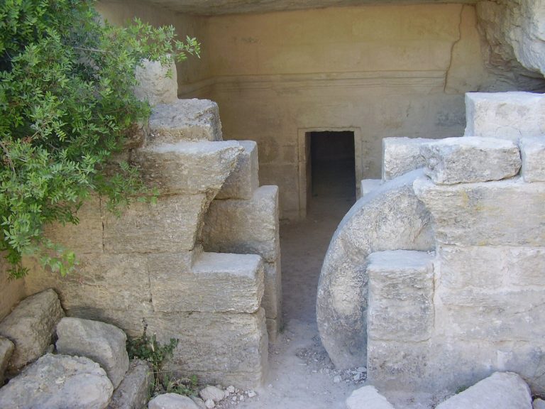
Hideout caves at Azekah were used during the Bar Kokhba revolt, the second-century CE Jewish uprising against Roman rule. The site has also produced an ancient olive press, LMLK seals, other seals, pottery, and many additional artifacts. LMLK seals are stamped impressions on jar handles generally connected with the administrative and military organization of the kingdom of Judah. A preliminary survey before the renewed excavations recorded more than 18,000 pottery fragments.