Qasr El Benia: A Late Roman Fortlet in Tunisia
Site at a Glance
- Rating
- 3.6
- Popularity
- Very Low
- Country
- Tunisia
- Primary era
- Classical
- Eras represented
- Classical
- Civilizations
- Roman
- Site type
- Military
- Remains
- Fort
On this page10 sections
History
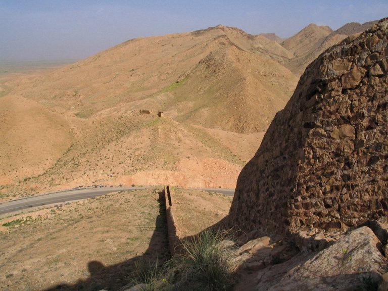
Qasr El Benia, a late Roman fortlet in southern Tunisia’s Gabes Governorate, stood on the southern side of the Tebaga Pass at the foot of the Matmata Mountains. Its activity is generally placed in the late third century, although its construction style has also been assigned to the fourth century. The fortlet formed part of the Limes Tripolitanus, the Roman frontier and defensive system of Tripolitania in North Africa.
Frontier security at the Tebaga Pass
The fortlet housed an unknown unit that was partly mounted. Its duties included security and surveillance at the Tebaga Pass, as well as monitoring the Tebaga clausura, a fortified barrier controlling passage through a valley or pass. The fort stood within a deeper chain of Roman military posts extending through the Dahar highlands toward Libya. Henchir Krannfir lay to the southwest, while the Tebaga Clausura and Henchir el-Hadjar were positioned to the northeast.
The Tebaga Clausura extended for about 17 kilometres across the valley, from Djebel Melab near the Matmata Mountains to the ridge of Djebel Tebaga. Its controlled passage, flanked by two towers, lay approximately 1.1 kilometres north of Qasr El Benia. The two installations were within visual contact, allowing the fortlet to form part of the surveillance system around the pass.
Dating and archaeological investigation
The date of the fortlet remains uncertain. An oil lamp found beneath the passage gate of the Tebaga Clausura in 1904 belongs to the late second or early third century, making an early foundation for the associated military system possible. Pol Trousset later placed the clausura in the mid-fourth century, but pottery fragments collected there in 1982 also pointed to activity in the late third century.
A bronze coin recovered at the fortlet by Raymond Donau in 1902 depicts an emperor in military dress leaning on a spear and holding a globe. Its surviving inscription can be read as “SPES REIPVBLICE,” suggesting an issue from the reign of Constantius II, the Roman emperor who ruled from AD 337 to 361. The fortlet was investigated early by French researchers, with Donau beginning excavations in 1902 and continuing them in 1904 with support from the Tunisian antiquities administration.
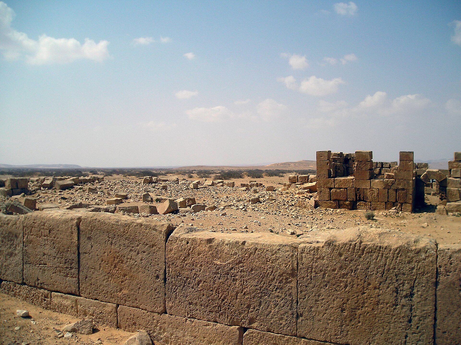
Qasr El Benia is also known by the names Benia Guedah Ceder, Guedah Ceder, and Henschir Guedah Ceder. A later Byzantine phase, referring to the eastern Roman period that continued after the late Roman era, is possible. This interpretation derives from a change in the masonry between the lower ashlar construction and narrower stonework above it.
Remains
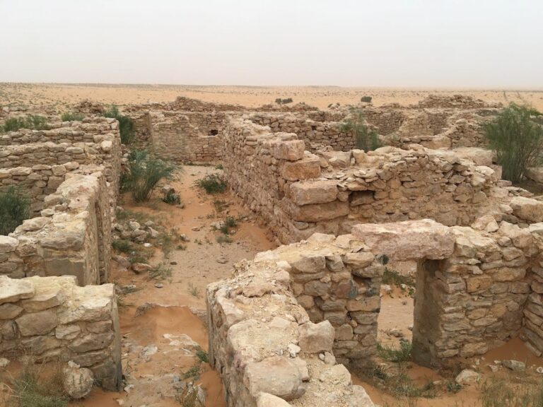
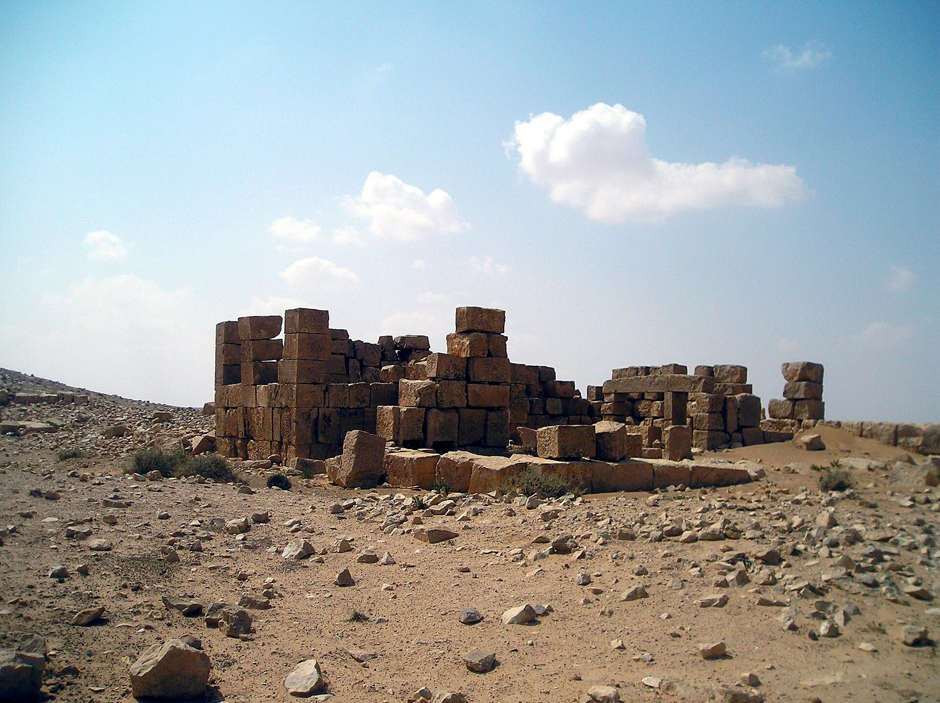
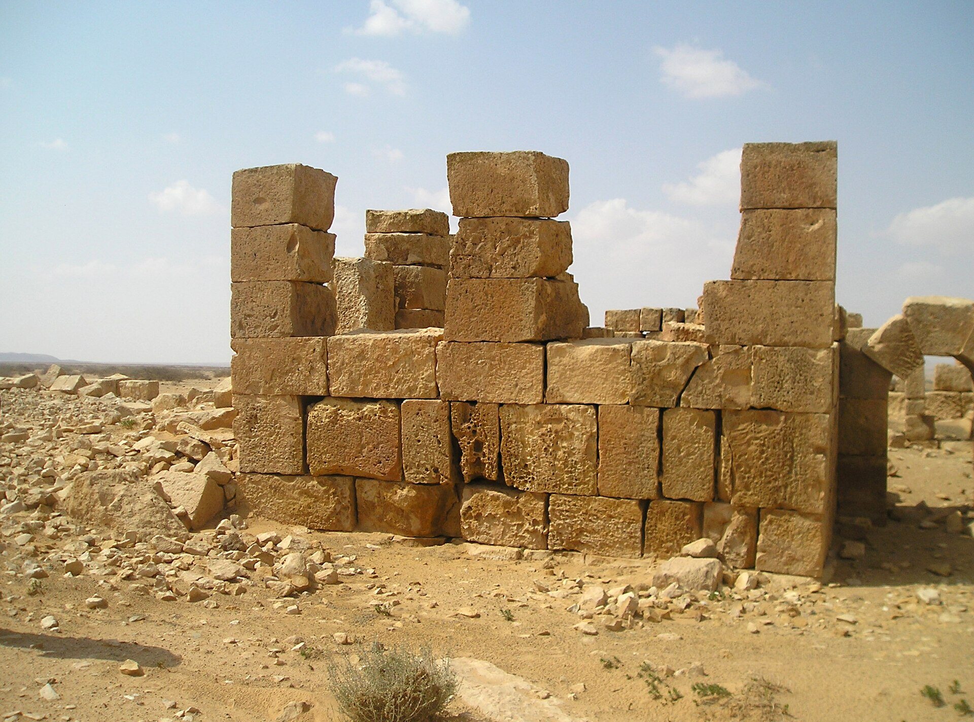
Qasr El Benia occupies a semi-desert setting beside a fertile plain, approximately 150 metres above sea level. The fortlet was a rectangular stone enclosure measuring 60 by 40 metres, or about 0.24 hectares. High-quality ashlar masonry formed its walls, which were approximately 0.60 to 0.80 metres thick. Stone robbing reduced the standing walls to roughly 1 to 2 metres in height, but the lower construction and overall plan remain clearly visible.
Enclosure and entrances
Walls and towers
Rectangular towers projected beyond the enclosure at the southern, eastern, and western corners. A further tower stood at the centre of the southwestern short side and used the same general construction as the corner towers. Together, these projecting structures strengthened the rectangular perimeter and helped control its approaches.
Defensive gate
The only entrance through the fortification was a narrow gate set slightly off centre in the southeastern wall. Its arrangement resembled a clavicula gate, a defensive entrance in which the internal approach bends sharply to expose attackers to defenders. After passing through the outer opening, an approaching force would enter a short passage that turned toward the northeast before reaching a second gate and the fort interior.
Internal buildings
Main fortified building
A slightly off-centre rectangular building stood against the western long wall, with its rear wall incorporated into the enclosure. Its ashlar masonry survived to a height of up to 3 metres when excavated. On the side facing away from the fortification, an external access 2 metres wide led to a short corridor and the actual entrance. This doorway was only 0.85 metres wide, had a vaulted top, and was reached by two steps. The keystone of the vault stood less than 2 metres above the ancient ground level.
The entrance opened into an atrium. On the atrium’s left, a 1.10-metre-wide doorway led into a lockable corridor that may have functioned as a staircase. The arrangement gave the building the character of a small fortified structure. One room served as a stable, and its water troughs survived during excavation.
Barracks and storage rooms
The other internal buildings were made mainly from small rubble masonry and were more perishable. Their remains have largely disappeared, but excavation revealed traces of barracks and storage rooms. A stone block recovered inside the fortlet bears a sketch of a phallus.