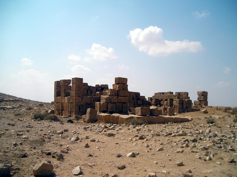
Ksar Ghilane: A Roman Frontier Fort in Tunisia



Site at a Glance
- Rating
- 4.5
- Popularity
- Low
- Country
- Tunisia
- Primary era
- Classical
- External website
- Open
- Eras represented
- Classical
- Civilizations
- Roman
- Site type
- Military
- Remains
- Fort
On this page14 sections
History
Ksar Ghilane is a Tunisian archaeological site associated with the Roman fort of Tisavar, built in the late second century during the middle-imperial period. The fort belonged to the Limes Tripolitanus, the Roman frontier zone of forts, roads, watch posts, and related installations in and around Tripolitania, and formed part of the province of Africa Proconsularis, which included much of present-day Tunisia and neighboring North African territory. Its position made it one of the westernmost installations created through the frontier-building programme begun under Emperor Hadrian, who ruled from AD 117 to 138.
Construction and frontier service
A building inscription dates Tisavar’s construction to approximately AD 184 to 191, during the reign of Commodus. The text dedicates the work to Emperor Marcus Aurelius Commodus Antoninus and mentions a provincial governor and Claudianus, procurator of the Thevestine region. The ancient name Tisavar appears in two inscriptions found at the fort, including one painted on wall plaster. It is not included in the Itinerary of Antoninus or on the Peutinger Map, two ancient records of Roman roads and places.
The garrison was a vexillation, or detachment temporarily separated from its parent legion, of Legio III Augusta. This legion was permanently associated with the Roman military administration of North Africa and had its main camp at Lambaesis. A dedication from a Jupiter sanctuary outside the fort records the centurion Ulpius Paulinus fulfilling a vow with the detachment under his command, assisted by the subordinate officers Vibianus and Myron.
Tisavar operated within a wider communications and defensive network in southern Tunisia. A road linked the area of the southern salt lakes with the far south, running from the oasis of Telmine to Remada, with branches toward the Tripolitanian mountains and the oasis of Ghadames. The garrison therefore formed part of a layered military system that extended Roman surveillance and security duties toward the edge of the Sahara.
Later occupation and destruction
The fort’s later history remains partly debated. Some scholars have proposed that it was abandoned during the reign of Diocletian, from AD 284 to 305, in favor of a smaller installation known through inscriptions as Centenarium Tibubuci, northeast of Tisavar. A coin minted during the reign of Maximinus Daia, from AD 305 to 313, indicates that occupation may have continued beyond the proposed abandonment date.
A widespread layer of fire damage was found inside the fort and among the surrounding buildings. The heat reddened the walls and marked the end of the garrison settlement’s development. After Islamic armies conquered and culturally and linguistically assimilated Tripolitania, the Arabic term “Ksar,” used in the early medieval period for a military camp, became associated with the site. A local Berber tribe temporarily occupied the fort ruins in the sixteenth century.
Rediscovery and archaeological research
The fort came to modern scholarly attention in 1885, when the French captain and cartographic officer Marie Georges Henri Lachouque identified it. René du Coudray de La Blanchère described and supplemented the damaged building inscription in 1887. Charles-Joseph Tissot published an interpretation of the fortification in 1888, and René Cagnat issued the first simple plan of the fort, its adjoining building, and the visible ruins in 1892.
In 1900, First Lieutenant Georges Louis Gombeaud cleared sand from the surviving walls and published the results in 1901. Military personnel assigned to the archaeologist Paul Gauckler carried out this work during his two-year research campaigns along the Limes Tripolitanus. The excavations recovered a fragment of a terracotta lamp depicting Serapis-Helios, an Egyptian-Hellenistic god.
A French-Tunisian project conducted from 1968 to 1970 renewed research on the southern Tunisian section of the middle-imperial frontier. Maurice Euzennat and Pol Trousset produced a historical plan. Later study has continued to differ over some measurements and interpretations, while undocumented repair and restoration work has obscured parts of the ancient building fabric. Roman finds from the excavations are held in the Bardo National Museum in Tunis.
Twentieth-century events and heritage status
During the Second World War, the Battle of Ksar Ghilane took place at the site on 10 March 1943. In February 2012, the Tunisian government submitted Tisavar, as part of the Roman Limes in southern Tunisia, for nomination to the UNESCO World Heritage List. The submission was a nomination proposal rather than a stated World Heritage inscription.
Remains
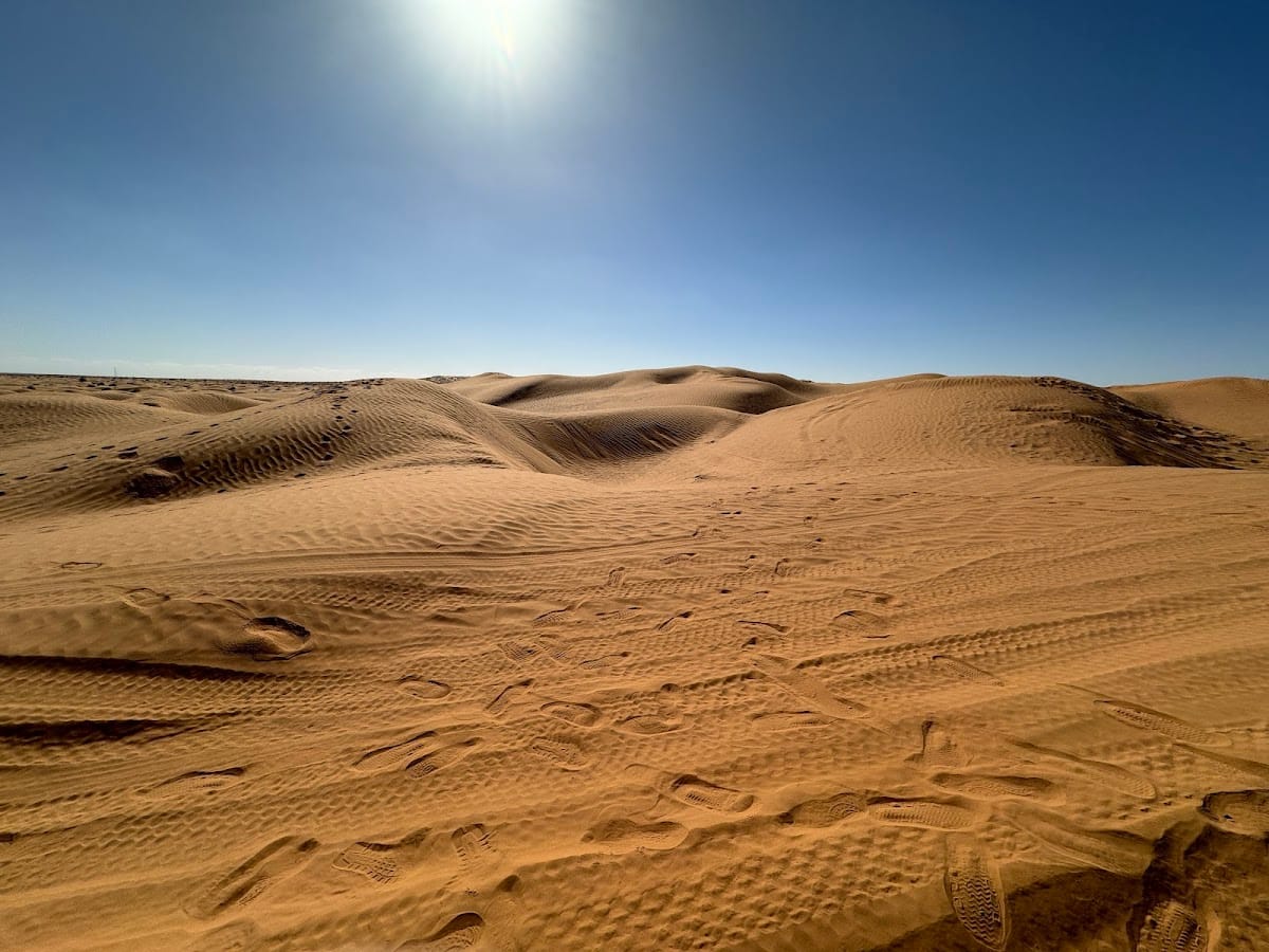
The fort stands on a solid rocky outcrop above Wadi bel Recheb, on the northern edge of the Eastern Great Sand Sea. It occupied an isolated hilltop measuring approximately 40 by 40 metres, with the first southern dunes immediately beyond it. The rectangular enclosure had rounded corners and was aligned almost exactly along a west-east axis. Its exterior measured 28 by 37.50 metres according to Mackensen’s 2008 survey, giving a built area of approximately 0.1 hectares. The enclosed interior measured 25.40 by 34.80 metres, or about 0.08 hectares.
Fortifications and entrance
Enclosing wall
The enclosing wall was approximately 1.20 to 1.40 metres thick and originally stood about four metres high. Early excavations found a poorly preserved crenellated parapet. A wall-walk ran around the fort and was reached by stairs at all four corners and on the eastern and western sides. Large stone blocks formed most of the principal load-bearing elements, while ordinary walling used roughly dressed stone and rubble.
Eastern gate
A single-lane gate was placed centrally in the eastern short side. Its surviving vaulted passage was built from large, unprofiled limestone blocks cut into wedge-shaped stones that formed the arch. The arch rises three metres at its crown and measures 2.25 metres across internally. The entrance led into a corridor about seven metres long, formed by the outer walls of the barracks. Much of the masonry remains higher than a person, preserving construction details of the small fort.
Courtyard and internal buildings
Command headquarters
Twenty rectangular rooms were arranged around the central courtyard, with their rear walls built directly against the enclosure. They served as soldiers’ accommodation, storage areas, and other practical facilities. At the center stood the rectangular command headquarters, or principia, a building that commonly combined administrative and ceremonial functions in a Roman fort. It measured 12.60 by 7.40 metres and contained a smaller internal courtyard marked “A” on the plan. A staircase shows that the building had at least one upper storey.
Jupiter sanctuary
A Jupiter sanctuary formed a unit with the command building and adjoined it on the east as room “E.” Jupiter was the chief Roman god, while Victoria personified military victory. The sanctuary’s eastern entrance carried a dedication to both deities. Its walls rose no higher than 1.60 metres. A niche contained an altar dedicated to the genius loci, the protective spirit associated with a particular place, and excavation recovered remains of eight additional altars similar or approximately similar to it.
Water storage and living quarters
The commander’s living quarters are thought to have occupied rooms attached to the defensive wall. Room “R” was a cistern capable of holding slightly more than 2,000 litres of water. Together, these spaces show how the compact enclosure combined military accommodation, command functions, religious practice, and water storage within a limited hilltop plan.
Structures east of the fort
Approximately ten metres east of the fort, or fifteen metres according to Lachouque, stood a foundation measuring about nine square metres that may have belonged to a stable. Farther east were several adjoining rooms of rough construction. Each measured between 1.30 and 1.90 metres in length, and each opened toward the fort. Their function remains uncertain: they may have served as sheep pens, general stables, or an advanced defensive line.
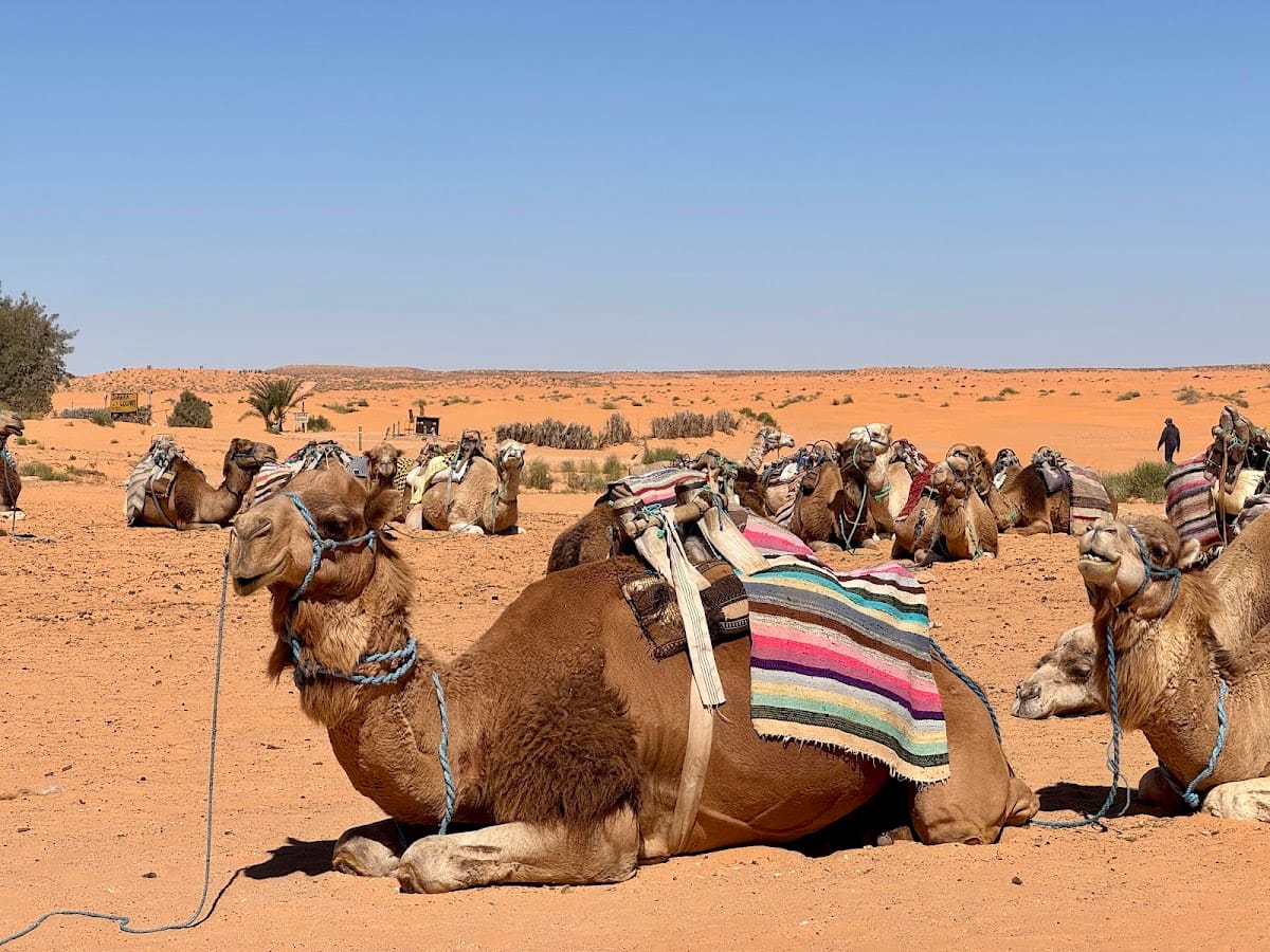
The modern oasis of Ksar Ghilane lies approximately three kilometres south of the fort and was formerly known as Henchir el-Hagueuff. Its present settlement developed around a hot artesian spring that emerged during an unsuccessful oil-drilling operation after the Second World War. Date palms were later planted, and local nomadic residents raise goats and sheep.