Inca-Caranqui: An Inca Ceremonial and Garrison Center in Ecuador
Site at a Glance
- Rating
- 3.8
- Popularity
- Very Low
- Country
- Ecuador
- Primary era
- Early Modern
- Eras represented
- Early Modern
- Civilizations
- Inca
- Site type
- Religious
- Remains
- Sanctuary
On this page9 sections
History
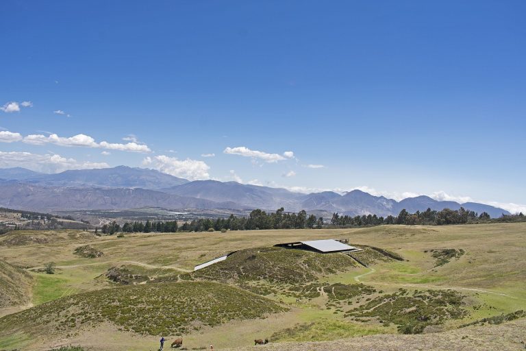
Inca-Caranqui is an archaeological site in the village of Caranqui, on the southern outskirts of Ibarra in Ecuador. Set in a fertile valley at an elevation of 2,299 metres, it developed as an Inca center during the late fifteenth and early sixteenth centuries, when the empire incorporated the northern Ecuadorian region known as the País Caranqui. This was the northernmost area fully absorbed into the Inca Empire and the last region added before the Spanish conquest of 1533.
The Caranqui region before Inca rule
Before the Inca conquest, the lands north of Quito between the Guayllabamba and Mira rivers and extending toward the present-day Colombian border were divided among several small chiefdoms. These included Caranqui, Cayambe, Otavalo, and Cochasquí. Their communities shared broadly similar languages, artistic methods, subsistence practices, and settlement patterns. Together, the pre-Inca population of the region has been estimated at between 100,000 and 150,000 people.
The landscape contained many tolas, large artificial earthen mounds built between 1200 and 1500 CE. They served as platforms for elite residences, ceremonial activities, and burials. Although later destruction removed many of them, hundreds survived across the intermontane basin surrounding Imbabura Volcano. This mound-building tradition formed part of the cultural setting into which the Incas expanded.
Inca conquest and the establishment of the center
Topa Inca Yupanqui, who ruled approximately from 1471 to 1493, began the Inca campaign in the region and faced determined resistance from local chiefs. His son and successor, Huayna Capac, completed the conquest of Caranqui after military operations that may have continued for more than a decade. The Incas built fortresses during these campaigns, including those at Pambamarca, and placed Caranqui within a wider network of defensive works. They also fortified the Rumichaca Bridge farther north, although the neighboring Pasto people remained only partly conquered.
Miguel Cabello de Balboa described a massacre ordered by Huayna Capac in retaliation for Caranqui resistance. According to this account, Caranqui men were killed beside a lake called Yaguarcocha, or “Blood Lake.” The final Inca victory is placed broadly between the 1490s and as late as 1520. Reports of Atahualpa’s participation in the battle support the later date, while the tradition that he was born at Caranqui around 1500 supports an earlier one.
After the conquest, Caranqui became an important garrison town from which the Inca army controlled the surrounding region. Pedro Cieza de León visited the settlement in 1544 and described a major Inca center with a Temple of the Sun, a central plaza containing a large water pool, a military garrison, and an acllawasi, a residence for women selected for state service. He associated the institution with 200 aclla, whose duties could include textile production, ritual service, or work for the elite.
Royal use and later transformation
The construction of the principal center is attributed uncertainly either to Huayna Capac in the early sixteenth century or to Atahualpa in the 1520s. Atahualpa, an Inca ruler and son of Huayna Capac, may have used Caranqui for his royal investiture and wedding around 1525, after his father’s death. These events would have placed the settlement within the political and ceremonial life of the final decades of Inca rule.
Later urban development destroyed much of the former center. The Caranqui people also lost their own language, probably a Barbacoan language, and came to speak Kichwa, the Ecuadorian variety of Quechua, and Spanish. In the twenty-first century, the community’s name is also commonly written Karanki. Excavation of the principal pool in 2008 brought the surviving ceremonial feature into clearer view after the town purchased the vacant lot where it lay.
Remains
The ceremonial pool
The principal surviving feature is a rectangular, semi-subterranean pool constructed from finely cut stone. It measures approximately 10 by 16 metres, and its walls rise about one metre above the floor. Canals, water spouts, and drains controlled the movement of water, allowing the pool to be filled and emptied. Its position and engineering identify it as a religious and ceremonial installation that formed the central feature of the Inca settlement.
The pool is unusually large when compared with other Inca temple pools associated with Huayna Capac, including the pool at Quispiguanca in Peru’s Sacred Valley. Its scale suggests that rituals held there may have involved large numbers of people. The feature therefore provides evidence not only of water management but also of the communal character of ceremonies at the center.
Walls and associated settlement structures
Standing walls
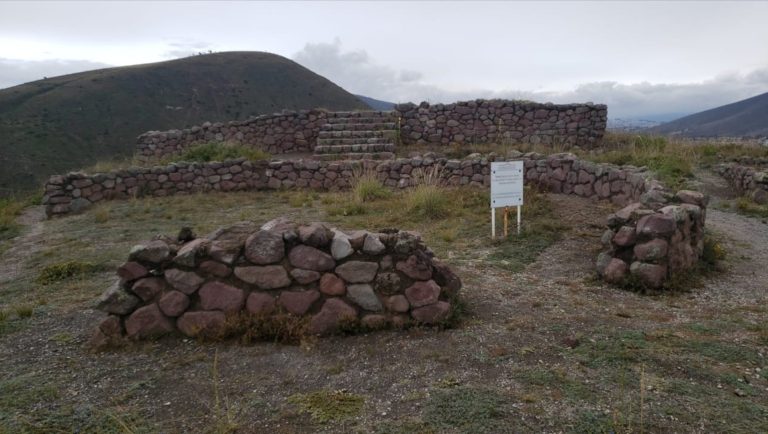
Two standing walls near the center of Caranqui retain doorways and niches. They are part of the surviving architectural evidence for the former Inca complex and preserve details of its built fabric alongside the excavated pool.
Hall and plaza complex
Several Inca structures have been identified near the pool. An Inca kallanka, a large hall used in major administrative, ceremonial, or military settlements, and a central plaza are hypothesized to have stood beside the pool complex on its western side. The former center also included a Temple of the Sun, a garrison, and an acllawasi associated with 200 aclla. Together, these elements indicate a settlement that combined ceremonial activity with military and state functions.