Tel Yarmuth: An Early Bronze Age Urban Center in Israel
Site at a Glance
- Rating
- 4
- Popularity
- Very Low
- Country
- Israel
- Primary era
- Bronze Age
- Eras represented
- Bronze Age, Medieval
- Civilizations
- Byzantine, Canaanite
- Site type
- City
On this page15 sections
History
Tel Yarmuth is a large archaeological mound near Bet Shemesh in Israel, approximately 25 kilometers southwest of Jerusalem. Its earliest settlement began around 3200 BC during the Early Bronze Age, a period when urban communities, centralized administration, monumental buildings, and large defensive systems expanded widely in the southern Levant. The site has been tentatively identified with the biblical city of Jarmuth because of the similarity between the names and the location, although that identification remains uncertain.
Early Bronze Age urban development
The settlement sequence began with an unfortified village in Early Bronze IB. During Early Bronze II, it developed into an urban center protected by two defensive walls and a sloping glacis, an earth or stone slope built against a fortification to strengthen it. Early Bronze III brought further expansion, including a large palace and a more extensive defensive system. The main urban occupation lasted for nearly a millennium, with its greatest concentration in Early Bronze II and III.
The principal settlement was abandoned after Early Bronze III, probably around the middle of the third millennium BC. The abandonment appears to have been peaceful or planned. The inhabitants may have taken luxury goods and portable tools with them, leaving behind heavy equipment, pottery fragments, and small objects of limited value. Later occupation continued intermittently, particularly on the acropolis, the elevated part of an ancient settlement.
Later occupation and biblical associations
Tel Yarmuth was lightly reoccupied during Middle Bronze IIA. Activity on the acropolis continued during Late Bronze II and Iron I, followed by Hellenistic, Roman, and Byzantine evidence. During the Byzantine period, the settlement was known as Yermas. Activity ended after the Arab conquest, and the later settlement did not continue beyond that period. Byzantine use in the lower town may have involved a caravanserai, an establishment for travelers and caravans, or an agricultural complex, but its precise function is uncertain.
In biblical tradition, Jarmuth was an Amorite city whose king Piram joined other rulers against Joshua, the leader traditionally associated with the Israelite conquest of Canaan, and was defeated. Jarmuth was later included in the territory of Judah and associated with a Levitical city, a settlement assigned to members of the Israelite tribe of Levi, and with a city of refuge, a designated place of asylum in biblical law. These traditions concern the historical or biblical city and do not establish its identity with Tel Yarmuth.
Jarmuth is also associated in biblical tradition with the reign of Hezekiah and the Assyrian campaign of Sennacherib in the late eighth century BC, although Sennacherib’s surviving account does not specifically name the city. The name appears again in connection with Judean returnees during the time of Nehemiah, who is associated with the restoration of Judean community life after the Babylonian exile. The site has also been tentatively connected with the “inhabitant of Maroth” mentioned by the prophet Micah. Tel Yarmuth is mentioned in the Onomasticon of Eusebius, a late antique geographical and biblical reference work. The historical continuity between the Early Bronze Age city and the later settlement remains only partly established.
Exploration and archaeological protection
Victor Guérin visited the mound in 1863, and Frederick J. Bliss inspected it in the early twentieth century, recording substantial interior walls and pottery from the early Roman and Arab periods. Adam Druks surveyed the site in 1963, and Amnon Ben-Tor conducted the first sounding in 1970 on behalf of the Hebrew University.
Pierre de Miroschedji directed excavations from 1980 to 2009 under the auspices of the French National Centre for Scientific Research. His work examined parts of residential Areas G and J and industrial Area H. Rapid development around Bet Shemesh, particularly in Ramat Bet Shemesh, threatened the mound from the 1990s onward. Tel Yarmuth was declared a national park, and Israel Antiquities Authority excavations led by Amir Golani and Omer Shalev took place in 2016 and 2017 to protect the remains and prepare the site for public access. The work focused on Palace B1 and the domestic area southeast of it, while damage to the Early Bronze Age monumental gateway in Area E was repaired. Conservation and public-access preparation are continuing.
Remains
Setting and settlement layout
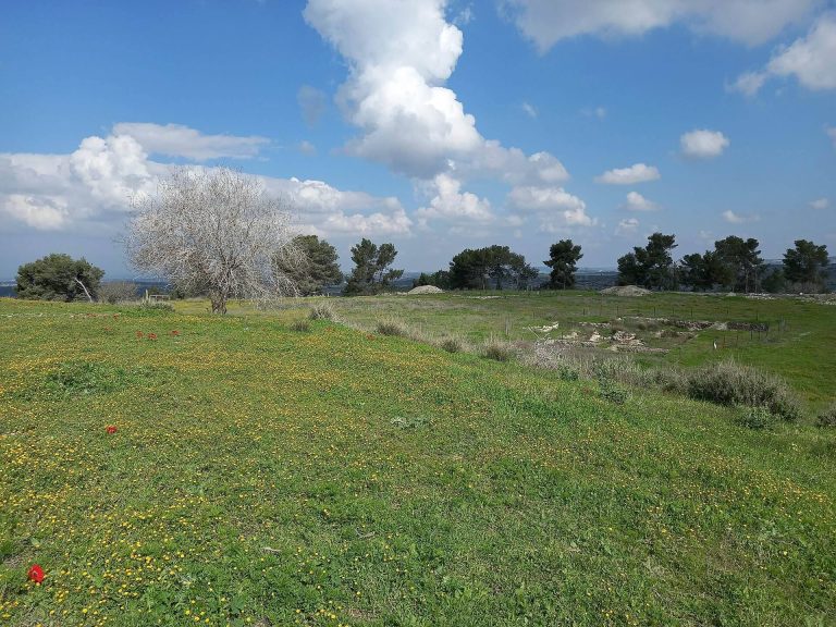
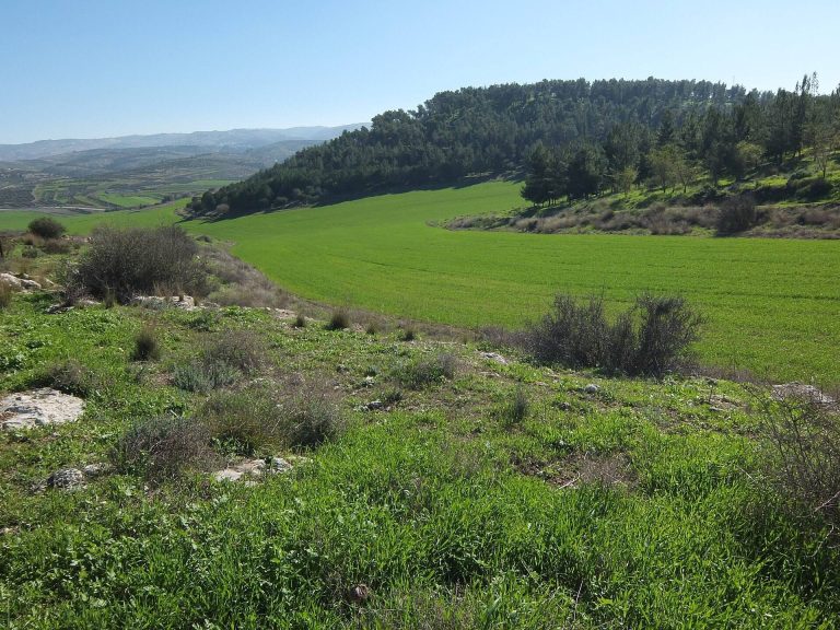
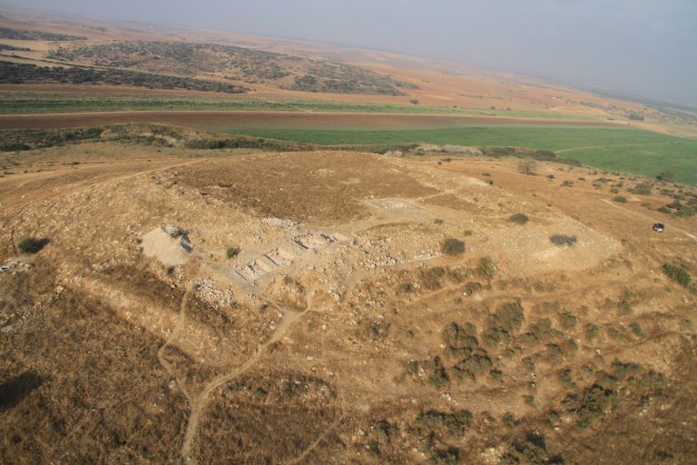
Tel Yarmuth covers approximately 18 hectares, or 180 dunams, on the summit and slopes of a hill formed from chalky rock. The mound measures about 640 by 420 meters. Its higher eastern zone forms an acropolis of approximately 1.5 to 1.8 hectares, while the lower town extends mainly westward. Elevation varies substantially across the site, and the nearest modern water source is associated with Wadi Yarmuth, approximately two kilometers below the hill.
The lower town was bounded by a substantial embankment and defensive wall system. Terraces supported the embankment and walls, creating more regular surfaces for construction. Possible gates were incorporated into this complex. A broad, semicircular depression in the northern lower town may have collected rainwater. Its interpretation is supported by the impermeable chalky ground and the lack of a natural water source within the site.
Fortifications and entrance
Defensive walls
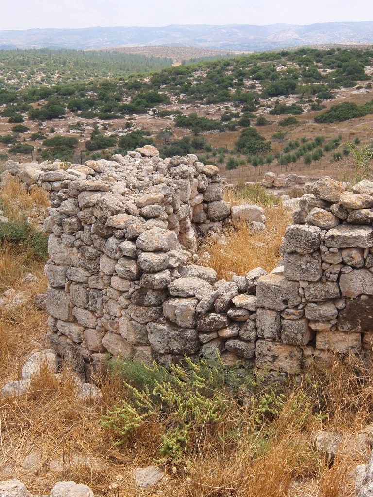
The principal Early Bronze Age defenses included Wall A, a stone wall approximately 6 meters deep and preserved in places to about 4 meters high. Its outer side was reinforced by a glacis. Wall B was later constructed about 20 meters beyond Wall A using cyclopean construction, which employed very large, roughly shaped stones with limited dressing or mortar. The space between the two walls was subsequently filled, strengthening the defensive system. Together, the fortifications formed a wall complex approximately 30 meters thick.
Monumental gateway
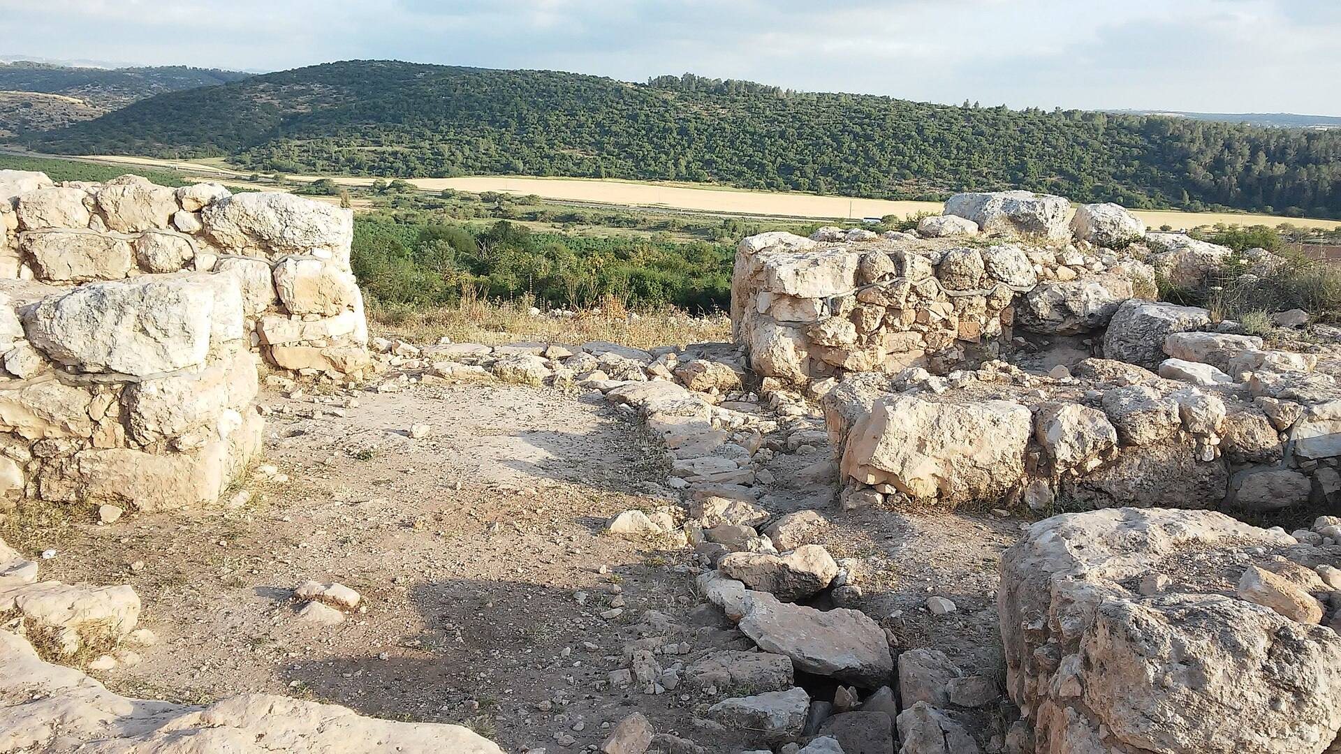
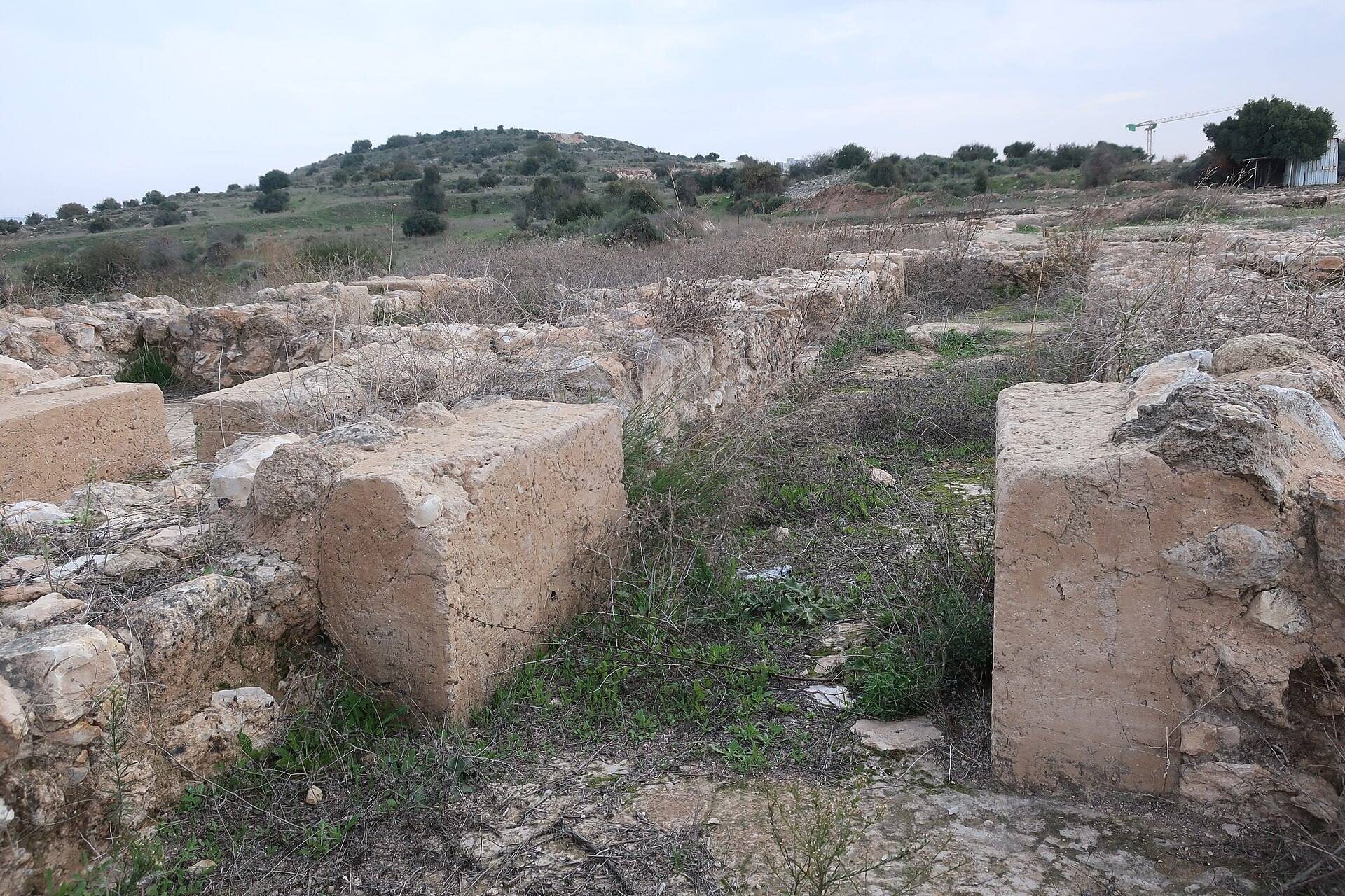
The principal city gate stood in Area E. Surviving portions of the gateway reach approximately 4 meters in height. The monument was damaged by vandalism and repaired during the 2016–2017 archaeological work, which formed part of the wider effort to protect the Early Bronze Age remains.
Palaces and religious architecture
White Building
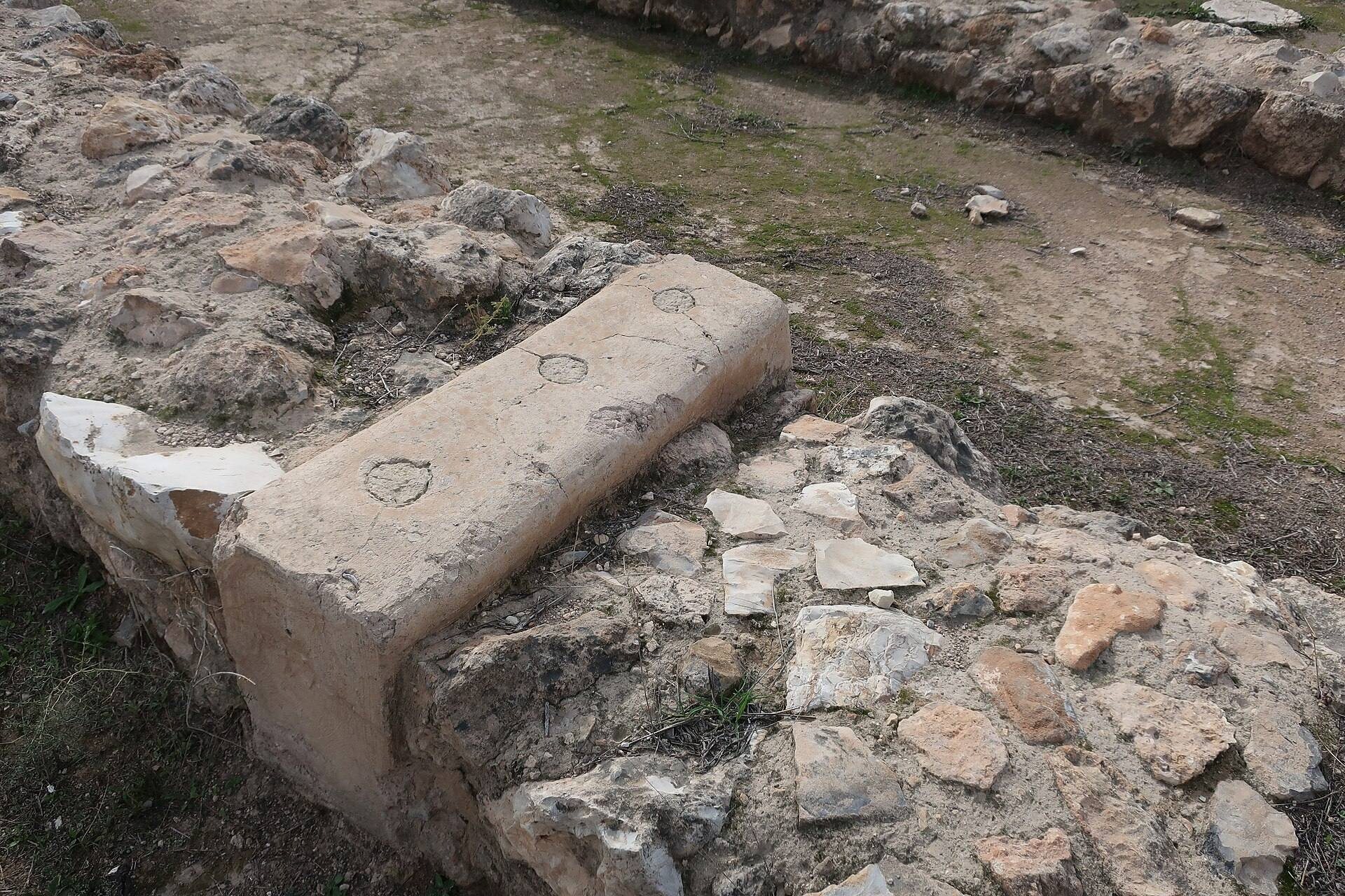
The White Building was a monumental Early Bronze Age sanctuary. It consisted of a plastered masonry broad-room temple, a type of sanctuary whose main room is wider than it is deep, with a side altar. The building formed part of the site’s monumental architecture during its Early Bronze Age urban development.
Palace B1
Palace B1 was a small Early Bronze II palace, sometimes described as a proto-palace, measuring approximately 1,750 square meters. Its remains were among the principal targets of the 2016–2017 excavations, together with the domestic area southeast of the building.
Palace B2
During Early Bronze IIIA, Palace B2 was built over Palace B1. It covered approximately 6,000 square meters, making it a substantially larger successor within the site’s administrative and monumental complex. Palace B2 was destroyed during Early Bronze IIIB.
Residential, industrial, and agricultural areas
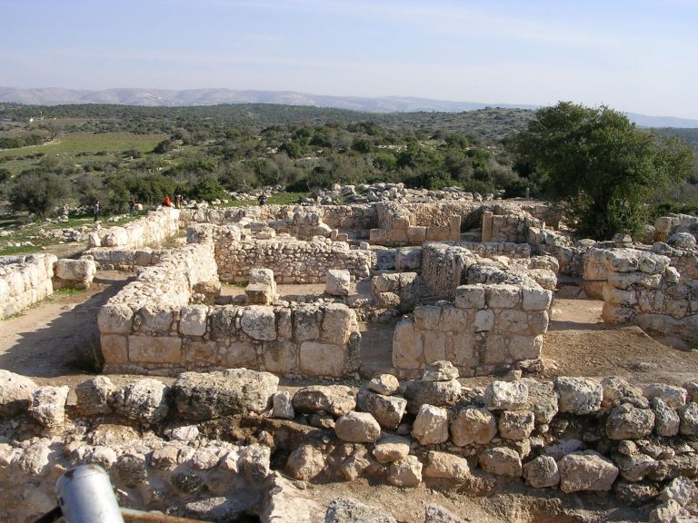
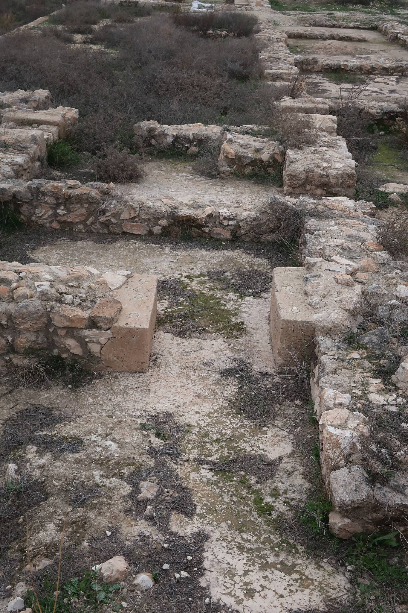
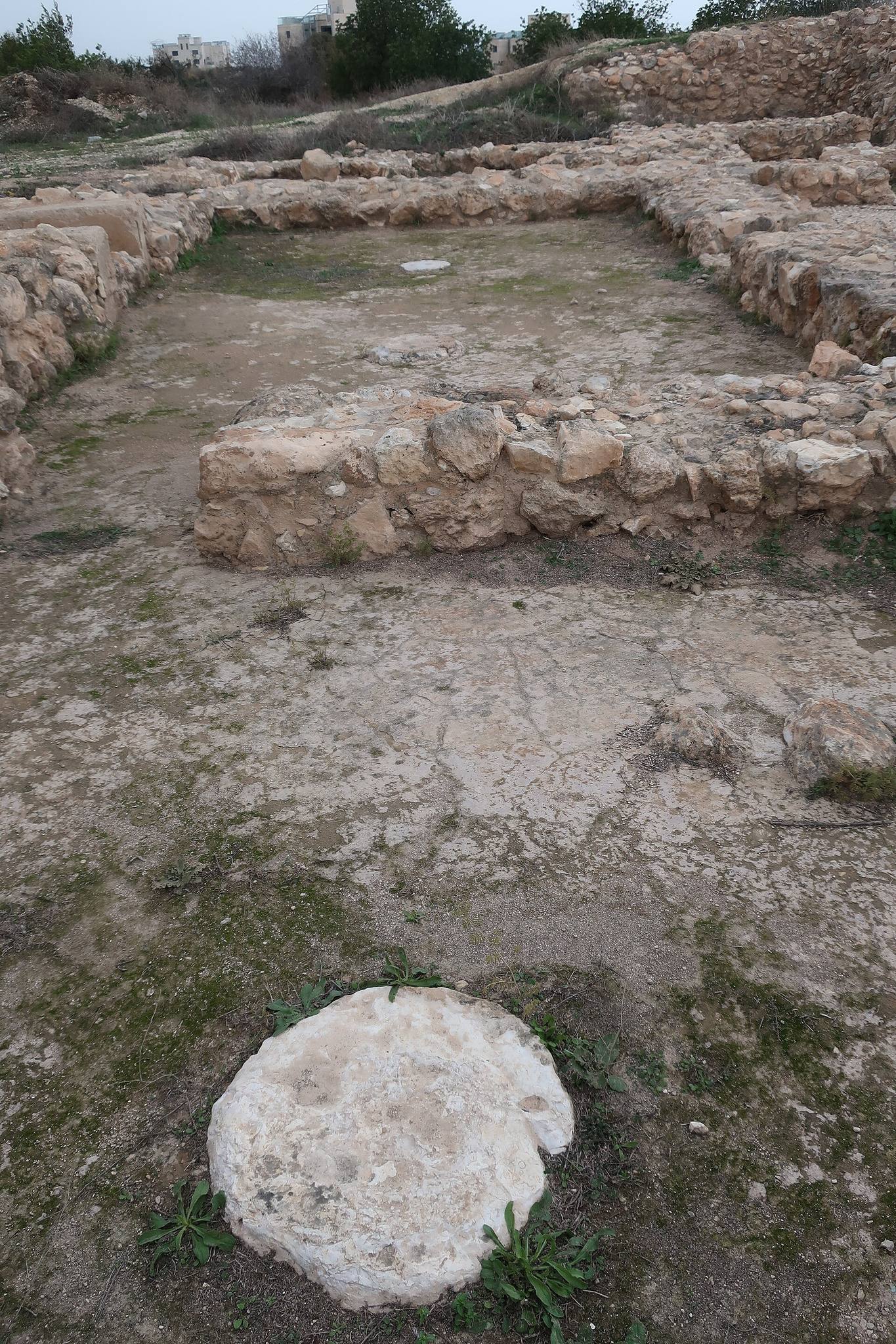
The lower town included residential, public, and industrial areas. Industrial Area H contained an installation with paved floors, large storage jars, basins, basalt grinding stones, and limestone mortars. The arrangement was probably used to process olives. Plant remains from Early Bronze II and III also indicate extensive olive cultivation and processing at the settlement.
Residential Areas G and J were partly excavated during the campaigns directed by Pierre de Miroschedji. Stratigraphic excavations in the western lower town revealed structures from Early Bronze II, Early Bronze IIIA, and Early Bronze IIIB, together with pottery from Early Bronze I. Early Bronze I occupation is represented by pottery and a basalt spindle whorl, while the presumed remains of that phase lie beneath several meters of later deposits.
Objects and later remains
Early Bronze III finds include flint Canaanite blades, probably used as sickle inserts or for threshing. A bronze-object hoard included a hoe with part of a hieroglyphic inscription. The hoard was attributed to the period of Egypt’s Nineteenth Dynasty, a New Kingdom dynasty associated with Egyptian imperial power during the second millennium BC, probably the twelfth century BC, although the objects may not have remained in their original context.
Late Bronze II occupation produced Mycenaean and Cypriot pottery from the thirteenth century BC, representing ceramic traditions associated with the Aegean and Cyprus. A jar handle from later occupation bears a stamp reading “yrslm” and probably dates to the early second century BC.
The acropolis contains remains from the post-Early Bronze Age periods, including Middle Bronze, Late Bronze, Iron Age, Hellenistic, Roman, and Byzantine evidence. In the western lower town, surface pottery is mainly Byzantine, and the remains of a large building probably belonging to that period survive alongside the earlier structures.