Ancient Greek Sites in Syria: Explore Seleucid Cities and River Fortifications
Greek and Hellenistic sites in Syria include cities established or reorganised under the Seleucid kingdom. Planned streets, defensive walls and the positions of major public spaces preserve aspects of that development. Many of the most conspicuous buildings were added under Parthian or Roman rule, so a Seleucid foundation and a later colonnade need to be distinguished.
Primary Function: All
Type: All
Civilization: All
Popularity: All
Rating: All
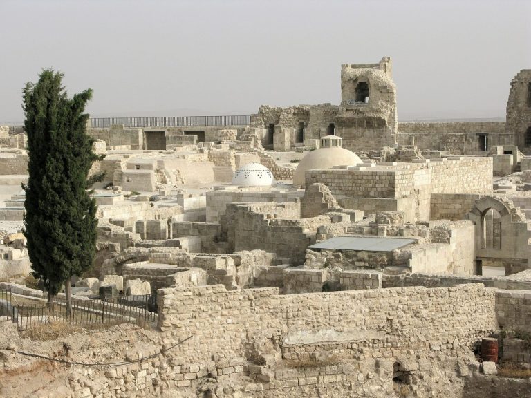
The Citadel of Aleppo is a fortified palace complex whose mound was used from the Bronze Age through the modern period. Its surviving Ayyubid and…
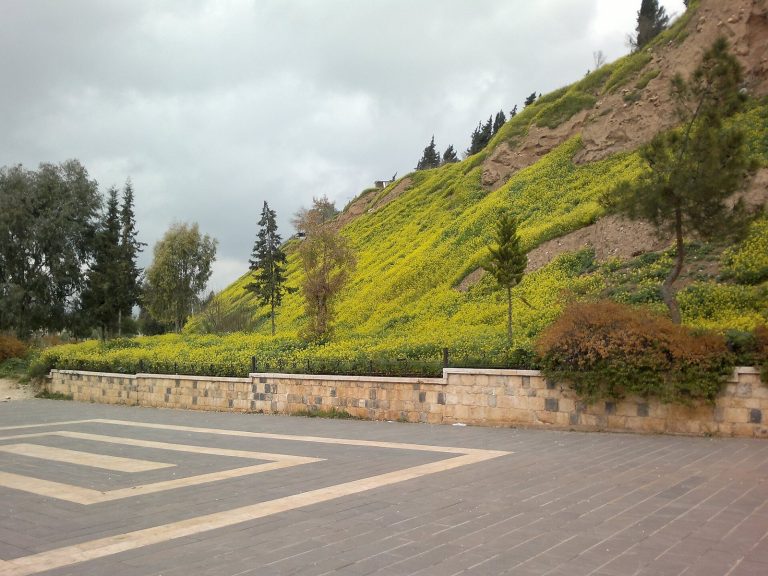
Hama Castle occupies the ancient urban mound beside the Orontes River and preserves evidence of occupation from the fifth millennium BC through the…

Carchemish was a major city and political center on the Euphrates, whose history spans prehistoric settlement, Hittite and Neo-Hittite rule, Assyrian…
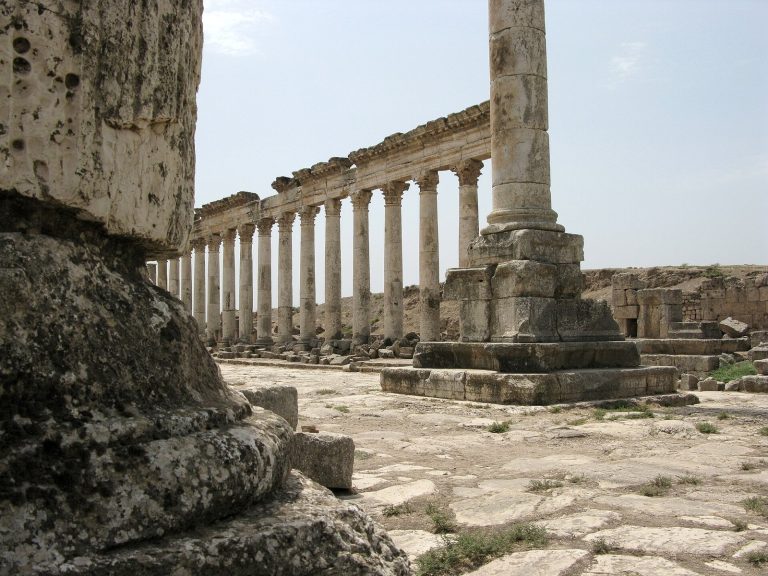
Apamea was a major Seleucid military and commercial center that later became a Roman provincial capital and an important Christian and cultural…
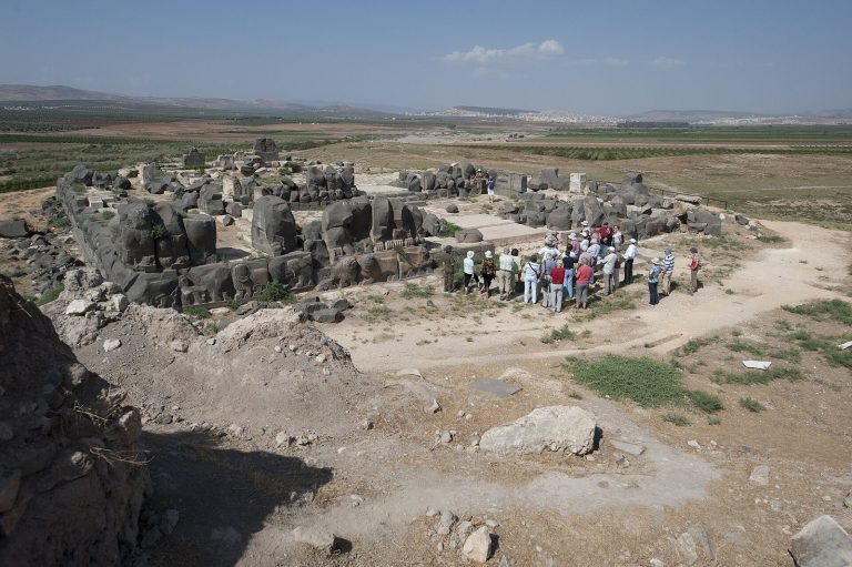
Ain Dara is an archaeological settlement in northern Syria whose long occupation, strategic location, and richly decorated Iron Age temple illuminate…
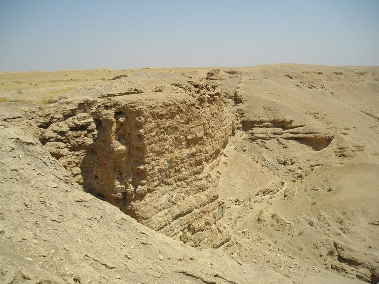
Dura Europos in Syria was founded around 300 BC as a Seleucid fortress and later became a multicultural Parthian administrative center and Roman…
For details on how to use the maps, which sites are included, how popularity and ratings are determined, and how sites are classified, see the help page.
Dura-Europos: a fortified city above the Euphrates
Dura-Europos occupies a plateau above the Euphrates, with steep ground protecting several sides and a strong defensive wall facing the landward approach. Founded under the Seleucids, the settlement developed a grid of streets and rectangular blocks within this position.
The city included a building conventionally called the Palace of the Strategos, or military commander. Its courtyard and surrounding rooms belong to a complex with Hellenistic origins and subsequent alterations. Together with the street layout and fortifications, it provides evidence for the city’s administration and organisation before Roman occupation.
Later temples, houses and religious meeting places developed inside the same settlement. The celebrated synagogue paintings and Christian building belong to the Roman period, and important excavated material was transferred to museums. They should be separated chronologically from the Seleucid foundation.
Dura-Europos has suffered extensive looting during the Syrian conflict. The recorded plans, standing defences and excavation archives remain essential to understanding the city, but earlier descriptions and photographs do not establish the condition of every structure today.
Apamea: a Seleucid plan beneath Roman colonnades
Apamea was a major Seleucid city, laid out on elevated ground above the Orontes valley. Its planned streets established long axes through the settlement, providing the framework for later public buildings and residential areas.
The great colonnaded avenue follows that urban framework, but its monumental stone colonnades principally belong to Roman rebuilding, especially after the earthquake of AD 115. Standing columns and carved architectural details consequently show the later treatment of a street within a city of Hellenistic origin.
This distinction allows the plan and the architecture to be read at different scales. The routes through the city preserve its broader organisation, while individual façades, columns and public monuments record later investment. Apamea also suffered substantial conflict-related looting and damage, which must be considered alongside its documented archaeological remains.
Explore the collection
Explore sites on the map or in the grid. Map icons reflect each site’s primary function, helping you identify different kinds of places at a glance. Narrow the results by primary function, site type or era. Use the Civilization filter to select among the Greek and Hellenistic groups included here, with additional filters for popularity and rating. Select a map marker to view the site’s details and open its article, or open the article from its grid entry.