Ayu-Dag Fortress: A Medieval Ecclesiastical and Defensive Complex in Crimea
Site at a Glance
- Rating
- 4.9
- Popularity
- Low
- Country
- Russia
- Primary era
- Medieval
- Eras represented
- Medieval
- Civilizations
- Unclassified
- Site type
- Military
- Remains
- Fortified Town
On this page16 sections
History
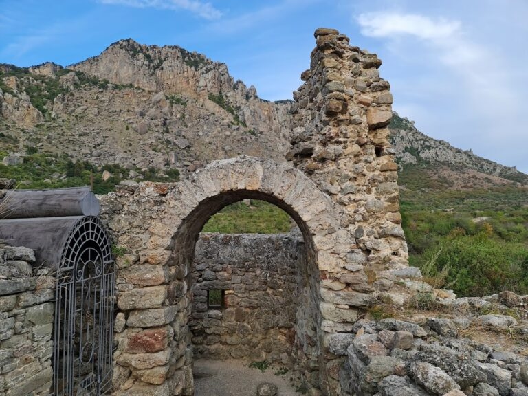
Ayu-Dag Fortress is the ruin of a medieval ecclesiastical and defensive complex in Russia, above Hurzuf on Mount Ayu-Dag in Crimea. Developed by Christian communities associated with the Goths, it took shape mainly during the eighth and ninth centuries and remained in use in different parts until the fifteenth century and, at one monastery, the end of the sixteenth century. The complex belonged to the Gothic Diocese, a medieval Christian jurisdiction linked to Gothic communities in Crimea, and grew alongside nearby Partenit.
Formation of the Medieval Complex
The site is traditionally assigned to the eighth century, while archaeological study places its principal medieval development in the eighth and ninth centuries. Rural settlements, churches, defensive works, and monastic foundations spread across the plateau and slopes of Mount Ayu-Dag. Together they formed a group of related communities rather than a single isolated fortress.
Ay-Konstant developed as a monastery and settlement between the eighth and tenth centuries. A church or chapel was later established among its remains during the twelfth to fifteenth centuries. Above Panair Bay, a settlement of the tenth or eleventh century became a monastery during the twelfth or thirteenth century. An earthquake probably destroyed the first monastery, after which it was rebuilt. The reconstructed foundation continued until the end of the sixteenth century.
Biyuk-Kastel probably emerged in the eighth or ninth century as a refuge and cattle enclosure for inhabitants of Partenit facing military danger. Its later history is uncertain. A major earthquake may have destroyed it, and the enclosure may never have served its intended purpose. A landslide or rockfall during the fifteenth or sixteenth century buried a substantial part of the monastery and settlement above Panair Bay, while further landslides destroyed other sections.
Early Interpretations and Archaeological Reassessment
The ruins entered modern scholarly discussion through descriptions of a walled Greek monastery dedicated to Saints Constantine and Helena. Peter Simon Pallas first recorded the complex in this connection. Pavel Sumarokov later described fragments of a fortress, loopholes, and traces of churches on the mountain. The ruins were mentioned again in a report by Egor Keller in 1821, and Ivan Blaremberg discussed them in 1831 as a possible site of the legendary Temple of Diana.
Peter Koeppen produced the first substantial scholarly description in 1837. He recognized the monument as medieval and prepared a plan of its fortifications. Despite this work, some researchers continued until the 1960s to interpret Ayu-Dag as a Taurian fortress dating from the first century BC to the fourth century AD. Others proposed a Roman fortification of the first centuries AD.
Fieldwork by Lev Firsov between 1963 and 1966, followed by Oleg Dombrovsky’s investigations in 1969 and later work during the 1970s, established the complex’s medieval character. Most of the principal remains were assigned to the eighth and ninth centuries. Ay-Konstant was identified as a fortified monastery and settlement, while Dombrovsky’s 1969 expedition discovered the monastery complex above Panair Bay and the settlement on the northeastern slope. Excavations at the monastery above the bay followed in 1994 and 1995 under S. B. Adaksina.
Protection and Archaeological Scope
The Crimean Regional Executive Committee declared the monastery on Mount Ayu-Dag a regional historical monument through decisions dated 5 September 1969 and 15 January 1980. The designation identified an eighth- to fifteenth-century complex of medieval churches. Archaeological inventories place 39 complexes within the Ayu-Dag massif, including four attributed to antiquity, 26 to the medieval period, and three to the seventeenth and eighteenth centuries. A separate inventory contains 41 entries, many of which remain only partly investigated.
Remains
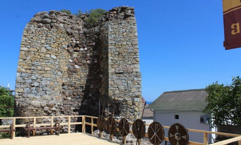
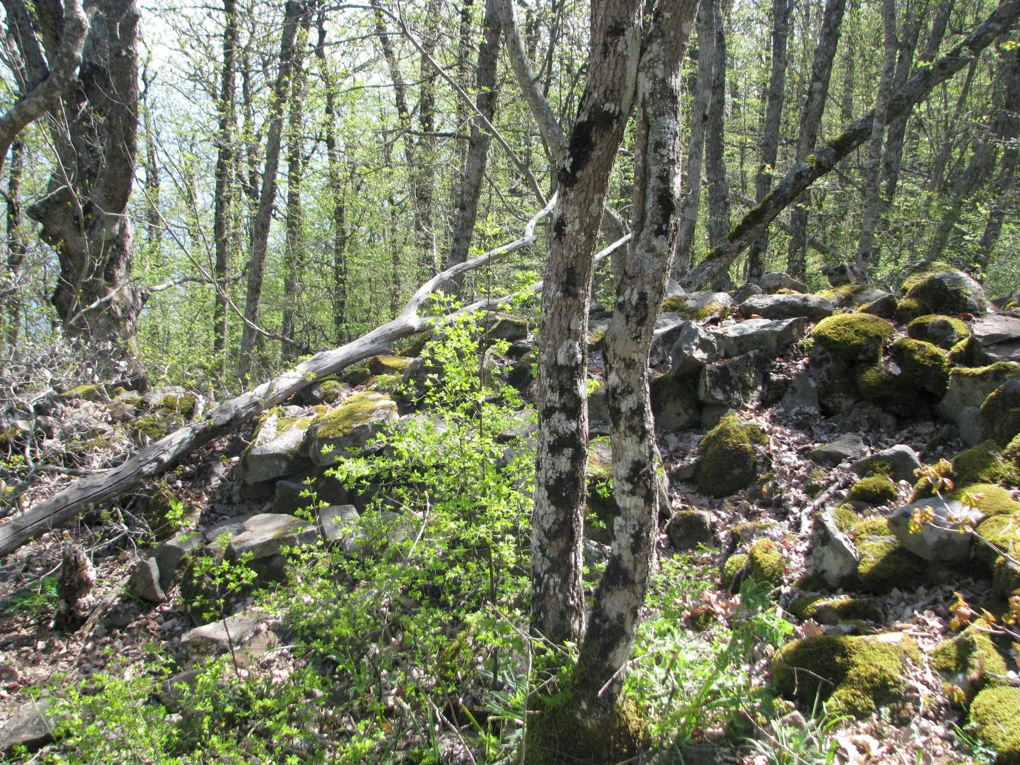
The remains occupy the plateau and slopes of Mount Ayu-Dag and combine several defensive lines with churches, monasteries, settlements, workshops, cemeteries, towers, and artificial terraces. Most walls were built from locally available diabasic rubble laid without mortar. The surviving remains form a dispersed archaeological landscape, with separate settlements and religious foundations connected by the mountain’s defensive system.
Defensive Walls and Refuge
Outer Defensive Lines
The first defensive wall is made of dry-laid diabasic rubble. It measures about 1.5 to 2 metres in width and survives to approximately 1.5 metres in height. It belongs to the eighth to tenth centuries. The second wall uses the same construction method and period. It extends for an estimated 1,350 metres, is about 1.5 to 2 metres wide, and reaches up to 3 metres high in places. A third wall, also built from diabasic rubble, survives in fragments and was discovered and examined in 1973.
A fourth wall runs along the western side of the complex. Discovered in 1998, it is about 1.8 metres wide and can be traced for approximately 400 metres. Its surviving height reaches 2.3 metres locally, and its preliminary date is the eighth to tenth centuries. The complex also included an internal ring-shaped fortification.
Biyuk-Kastel
Biyuk-Kastel consists of a ring-shaped refuge enclosed by a rubble wall set in clay. The wall is approximately 693 metres long and between 1.8 and 2.2 metres thick. It forms a complex polygon measuring about 220 by 180 metres and covering approximately 3.25 hectares. Fourteen semicircular towers and four rectangular towers reinforced the enclosure.
Near the walls stood about 13 small single-room structures made from diabase. Each measured roughly 2 by 3 metres and may have served as a guardroom. The location of the entrance remains uncertain. Peter Koeppen placed it on the eastern side, while Lev Firsov proposed a position in the southern sector. The refuge’s use and destruction remain subjects of archaeological interpretation, including the possibility of earthquake damage.
Monasteries and Churches
Ay-Konstant
Ay-Konstant lies at the northeastern end of the plateau, above the eastern coastal cliff. Its remains include a fortified monastery and settlement dating from the eighth to tenth centuries. A church or chapel built among the earlier ruins belongs to the twelfth to fifteenth centuries, demonstrating the continued religious use of the area after the first monastery and settlement had developed.
Monastery Above Panair Bay
The monastery complex above Panair Bay stands at an elevation of about 40 metres. Excavated remains include a church from the twelfth to fifteenth centuries, other buildings, a monastic enclosure wall, and part of a cemetery. The complex may incorporate earlier elements from the settlement that occupied the location before its development as a monastery.
Settlements and Working Areas
Northeastern-Slope Settlement
The settlement on the northeastern slope lies between the second and third defensive walls. Excavation revealed about 40 one- and two-room buildings arranged in roughly five rows that rose one above another along the slope. These structures date from the eighth to tenth centuries and formed one of the residential areas within the fortified mountain complex.
Southwestern Settlement
The settlement on the southwestern slope is conventionally called Artek because it lies within the Artek territory. Dating from the eighth to fifteenth centuries, it was among the largest settlements known in Crimea when it was discovered. Test excavations revealed street outlines, house enclosures, residential and ancillary buildings, and smithies. The smithies produced iron anchors and metal components for ship fittings, while the wider material remains point to a substantial trading port whose inhabitants were principally engaged in maritime activity.
Southern-Slope Settlement
The southern-slope settlement lies within the Artek territory, west of the Bolshoi Ravine and above the coastal cliffs. Exploratory excavations uncovered more than 50 one- and two-room houses built from rubble set in clay. Their walls survive up to 1.5 metres high. Pottery from the settlement dates to the eighth to tenth centuries.
Osman Tract
Osman Tract is a multilayered archaeological site on the western slope of Mount Ayu-Dag, along the Toha Dakhir ridge. Its earlier occupation has been assigned either to the fourth century BC through the fourth century AD or, under another dating, to a settlement of the first to third centuries AD. An additional settlement occupied artificial terraces during the eighth to tenth centuries.
Across the massif, the surviving remains include numerous churches, monastic buildings, domestic structures, workshops, cemeteries, defensive walls, towers, settlements, and terraces. These features preserve the physical organization of a mountain complex that combined religious foundations, residential communities, maritime economic activity, and defensive installations over many centuries.