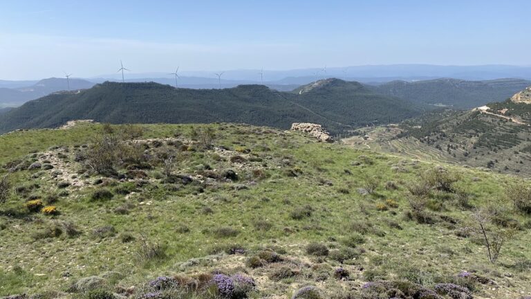
Coracha de Moya: A Fourteenth-Century Fortified Route and Customs Station
Site at a Glance
- Rating
- 4.7
- Popularity
- Very Low
- Country
- Spain
- Primary era
- Medieval
- Eras represented
- Medieval
- Civilizations
- Crown of Castile
- Site type
- Military
- Remains
- Wall
On this page10 sections
History
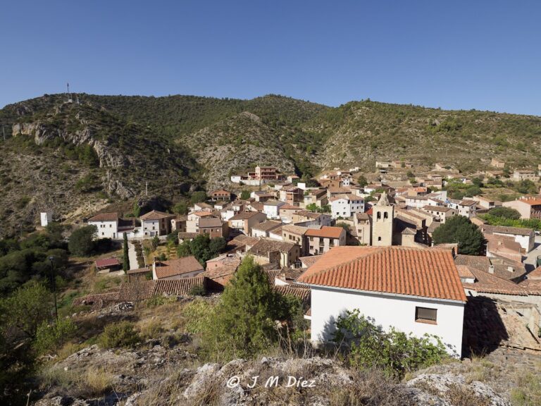
Coracha de Moya is a fourteenth-century fortified route in Spain, forming the fifth enclosure of the medieval fortress at Moya. Built on the northeastern slope of Moya hill, it extended the settlement’s defenses downhill to a water source and controlled access to the lower approach. The wider castle-fortress dates from the twelfth or thirteenth century, while the Coracha belongs to a later phase of the complex’s development.
The medieval fortress and the Coracha
A coracha was a projecting fortified wall or defensive route linking a main stronghold with a nearby strategic point, often a spring. Such a structure could shield access to the water and, when exposed on both sides, allow defenders to protect the route from either direction. At Moya, the Coracha descended from the third enclosure and formed a substantial defended passage between the hilltop settlement and the spring below.
The Coracha also functioned as one of the few known late-medieval “dry ports,” controlled points where goods could be checked and taxed without the need to enter the main settlement. The Tower of San Roque stood at this customs point, receiving goods arriving from the Kingdom of Aragon. Merchants could therefore complete the customs process below the town rather than climb to the upper enclosure.
Moya under the Marquis of Moya
In 1475, Isabella I of Castile and Ferdinand II of Aragon, known as the Catholic Monarchs, granted Moya and its territory to Andrés de Cabrera. Their joint rule ended the medieval Muslim kingdom of Granada and strengthened royal control over Castilian and Aragonese lands. Cabrera became the first Marquis of Moya, and the territory acquired the status of a marquisate in 1480.
The term coracha has an uncertain historical and linguistic origin. It has been connected with Arabic forms and with the idea of a fortified wall leading from a stronghold to a nearby point, particularly a water source. The word, however, appears only rarely in medieval Arabic and Christian chronicles, leaving its precise origin unresolved.
Later deterioration and conservation
The Coracha has deteriorated along with the wider historical-artistic complex, although it remains one of the complex’s best-preserved structures. The municipality owns the site, while the wider complex has state protection. Limited restoration funding has not prevented continuing decay, and urgent intervention has been considered necessary at parts of the entrances to the Towers of San Roque and Water.
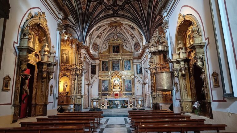
Restoration has reached five of the eight gates in Moya’s walls: San Juan, La Villa, San Diego, La Calzadilla, and Los Ojos. San Francisco, La Albacara, and Carros still require rehabilitation. Other restored buildings include the Church of Santa Maria la Mayor, the former granary now used as the town hall, part of the Convent of the Franciscan Conception, and the Church of the Holy Trinity.
Remains
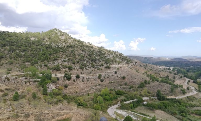
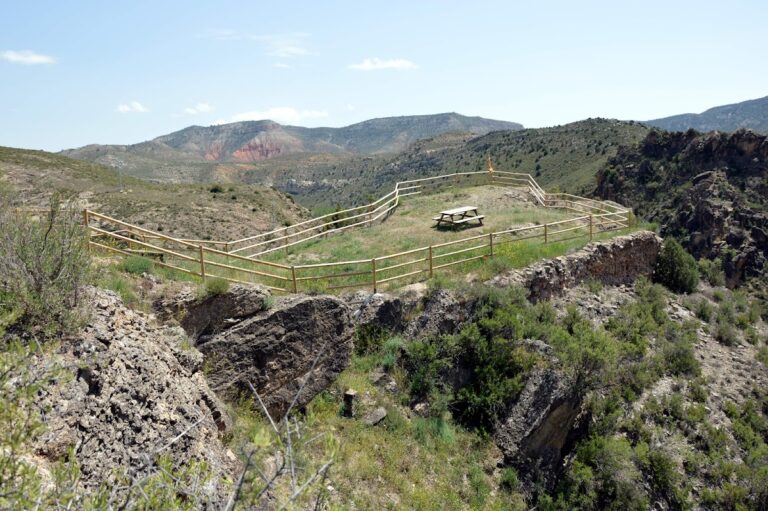
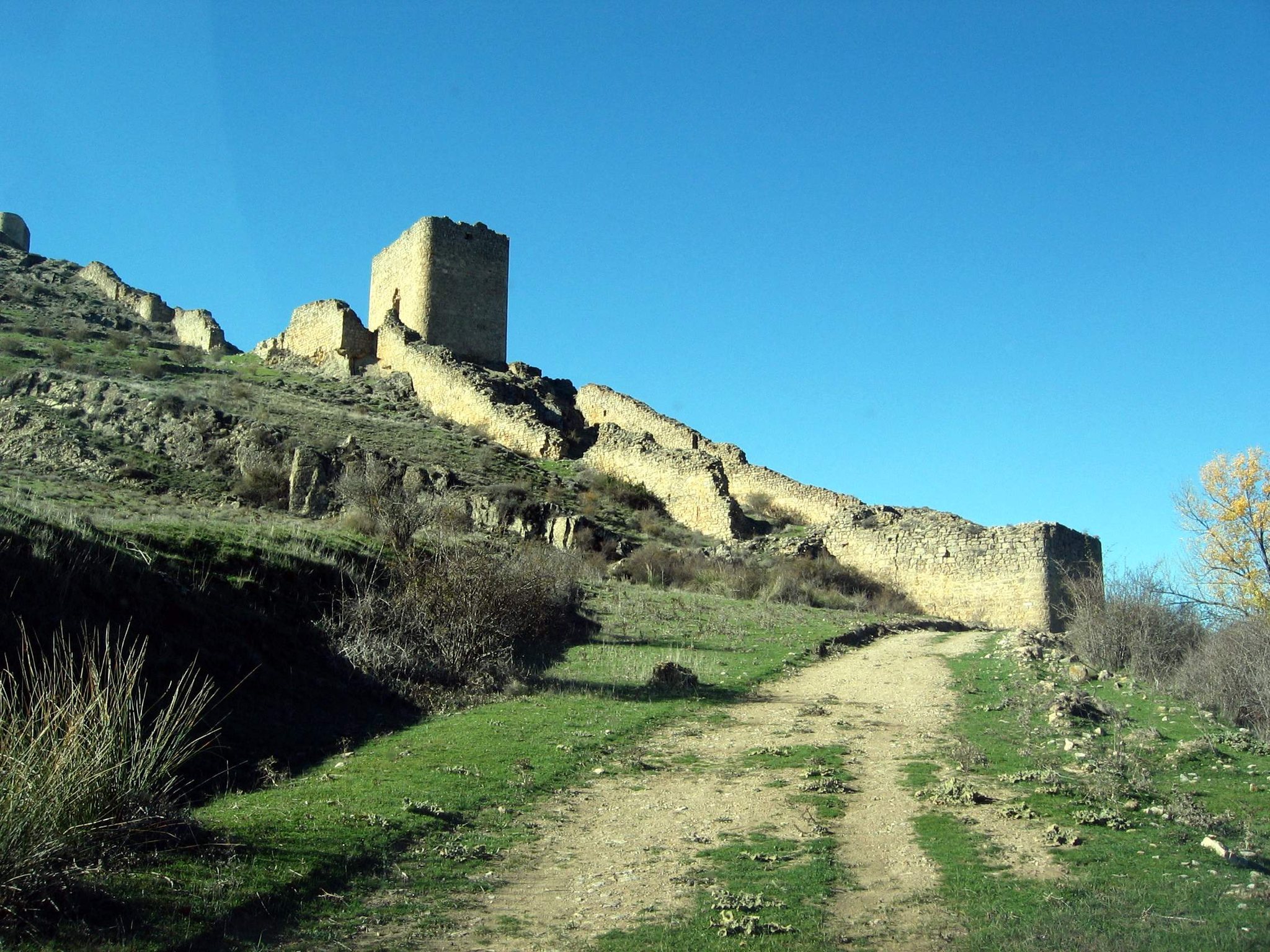
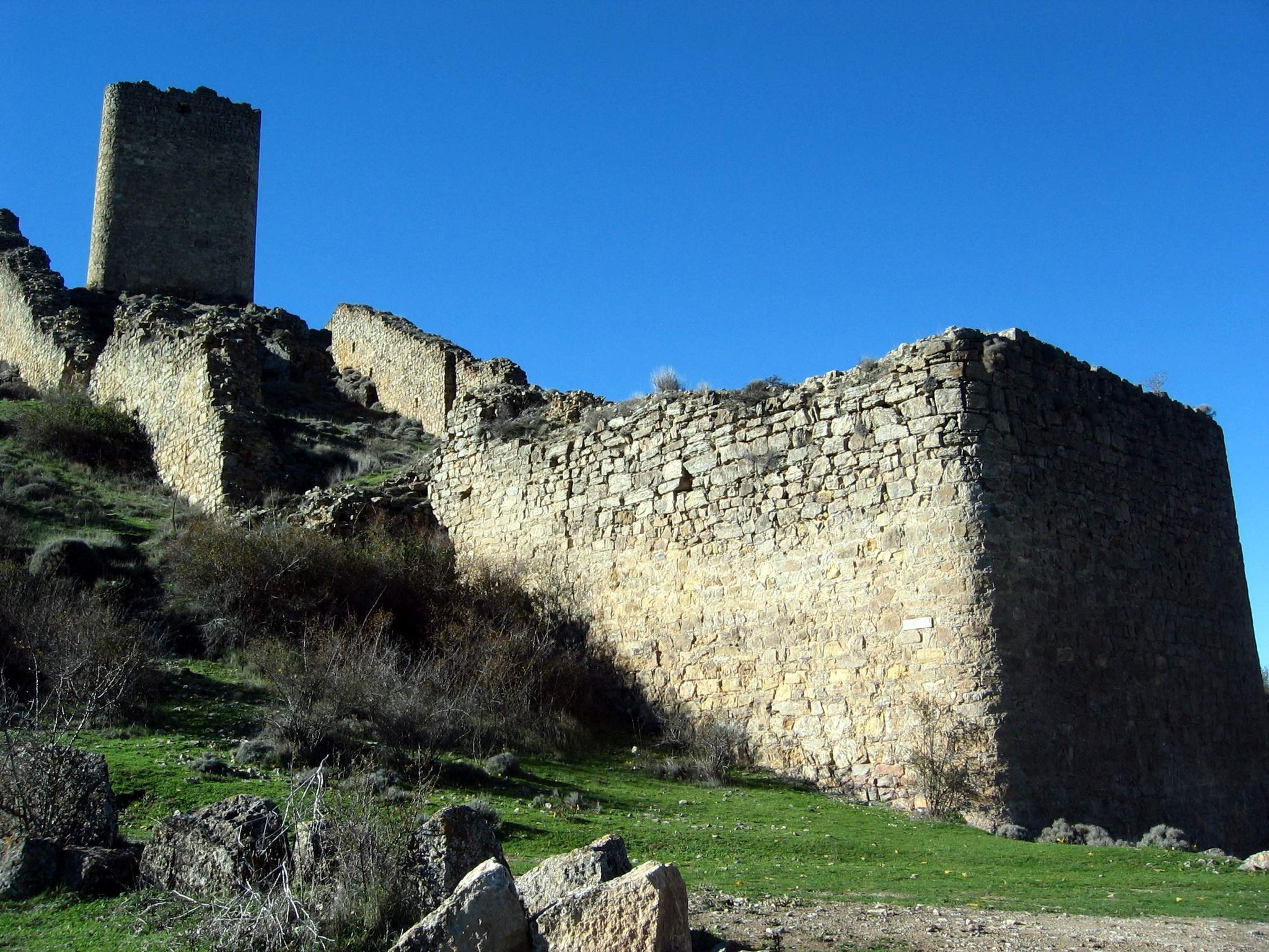
The Coracha descends the northeastern slope of Moya hill in a funnel-like form. Its masonry and ashlar walls continue the third enclosure and survive as two lines of defense with towers and a substantial space between them. From the viewpoint at the Gate of La Calzadilla, the beginning of the walls and their descent down the hillside can be seen. The structure connects the upper fortifications with the lower defensive and water-supply features.
Defensive route and customs enclosure
Tower of San Roque
The Tower of San Roque stands midway along the enclosure, where the defenses begin to narrow. It is a square stone tower with chamfered corners, thick walls, loopholes, and an entrance on the western side. The doorway has a straight arch. The tower served as the Coracha’s dry port and customs station, where goods from the Kingdom of Aragon were taxed below the settlement.
A small square lies in front of the tower. Two openings in the surrounding wall controlled movement through this area. The northern opening still retains the hole for its locking bar, while the southern opening is badly damaged and leads along a largely vanished route toward El Arrabal de Moya. The entrance arch of San Roque is among the parts of the Coracha whose masonry requires urgent attention.
Water Tower
San Roque also defended the lower Water Tower, which was the principal reason for building the Coracha. Access from the walled enclosure passes through a semicircular arch whose keystone has collapsed. From there, a descent reaches the spring beneath a large brick vault similar to the vault at San Roque.
Spring and watering place
At the foot of the Water Tower, the Coracha’s watering place receives water from the spring through an iron spout. The flow enters a trough and basin formed partly from large slabs set vertically. For centuries, this spring supplied the residents of El Arrabal de Moya and provided water for people, working animals, and livestock.
A low dry-stone wall surrounds the watering-place enclosure, whose original floor has been raised with gravel. A row of old poplar trees stands nearby. The setting includes views toward the valley, Santo Domingo de Moya to the north, and the local cemetery to the east. The semicircular entrance arch leading to the Water Tower is among the features affected by deteriorating masonry.
The wider fortified complex
The Ruins of Moya extend beyond the Coracha and include walls, roofs, ruined fortifications with several towers, and some surviving entrance doors. Architectural elements identified as a church portico and spire form part of the wider remains. A defensive ditch and drawbridge also belong to the complex, placing the Coracha within a larger system of enclosed approaches, gateways, and fortified structures.