Eketės Hillfort and Settlement in Lithuania
Site at a Glance
- Rating
- 4.6
- Popularity
- Low
- Country
- Lithuania
- Primary era
- Medieval
- External website
- Open
- Eras represented
- Classical, Medieval
- Civilizations
- Unclassified
- Site type
- Military
- Remains
- Fortified Town
On this page6 sections
History
Eketės Hillfort and Settlement is an archaeological site in Lithuania, dated from the 1st millennium to the 13th century and also described as belonging to the 2nd through the 13th centuries. Known as Kalotė hillfort and settlement, it is associated with Eketė, a locality named in the 1252 division act of the lands of Courland and in historical sources from 1285 as Akute and Acheté.
Settlement and defensive development
The site combined a fortified hilltop with a settlement extending beyond its defenses. Its archaeological deposits preserve traces of buildings, tools, objects, and defensive structures from a long period of occupation. The settlement’s broad extent and the concentration of its cultural layer show that activity was distributed across the area north and north-east of the hillfort.
Archaeological investigation and conservation
In 1972, exploratory excavations directed by the Lithuanian archaeologist Algimantas Merkevičius examined 180 square metres of the hillfort plateau and 74 square metres of the ancient settlement. They revealed a cultural layer, an accumulated archaeological deposit containing traces of past human activity, together with a building, tools, other objects, and defensive features.
Boreholes made in 1996 showed that the settlement’s cultural layer extended across more than 6 hectares north and north-east of the hillfort. Ploughing had severely disturbed parts of it, but the densest area lay opposite the north-eastern approach to the hillfort. There, the deposit was 30–70 centimetres thick and more intensive than in the surrounding area.
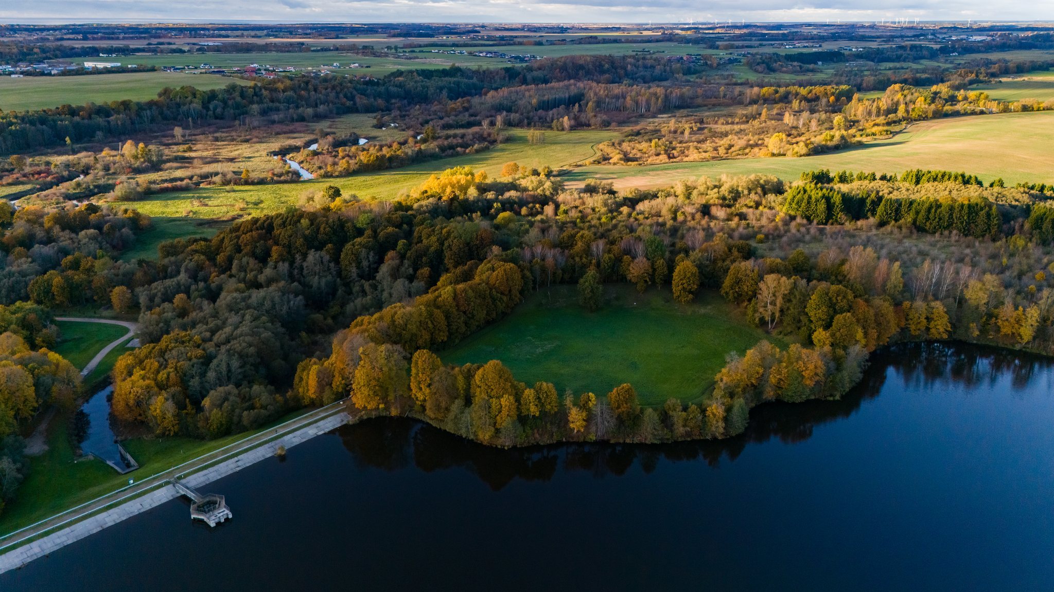
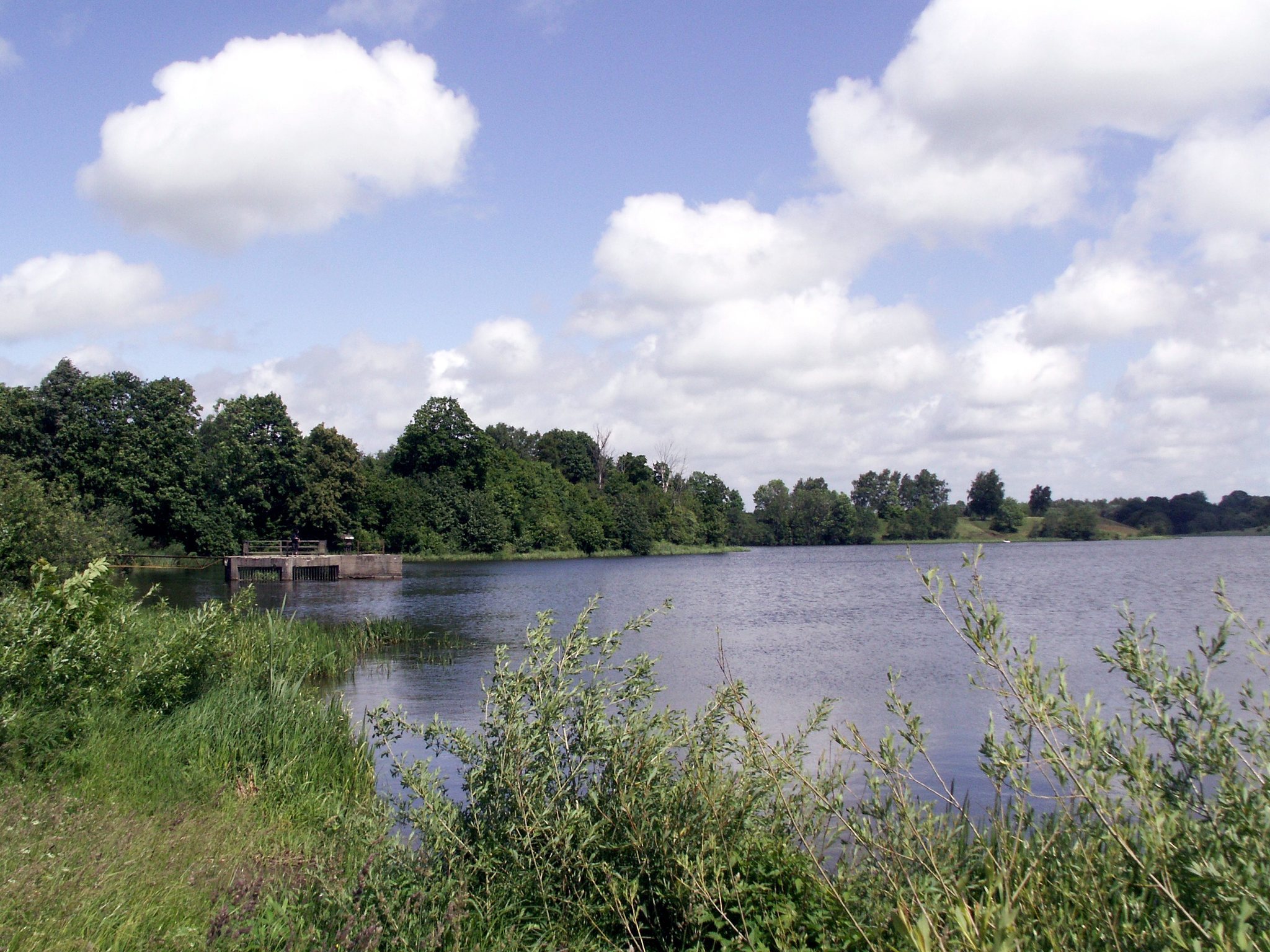
Construction of a pond in the early 1970s caused the eastern and southern slopes to begin collapsing. Conservation work in 1994 and from 1996 to 1997 stabilized the unstable slopes and controlled vegetation. The former manor mill pond stood at the eastern foot of the hillfort, while manor buildings lay south-west and south across the Eketė River. The manor was destroyed during the Second World War. Finds from the site are preserved by the National Museum of Lithuania.
Remains
Hillfort
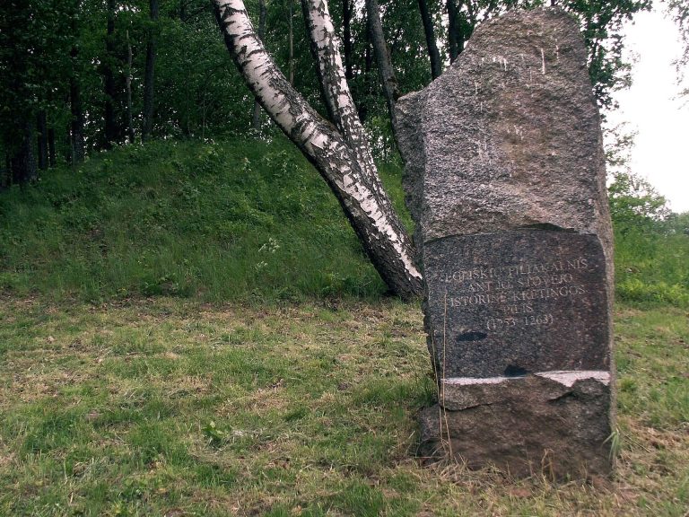
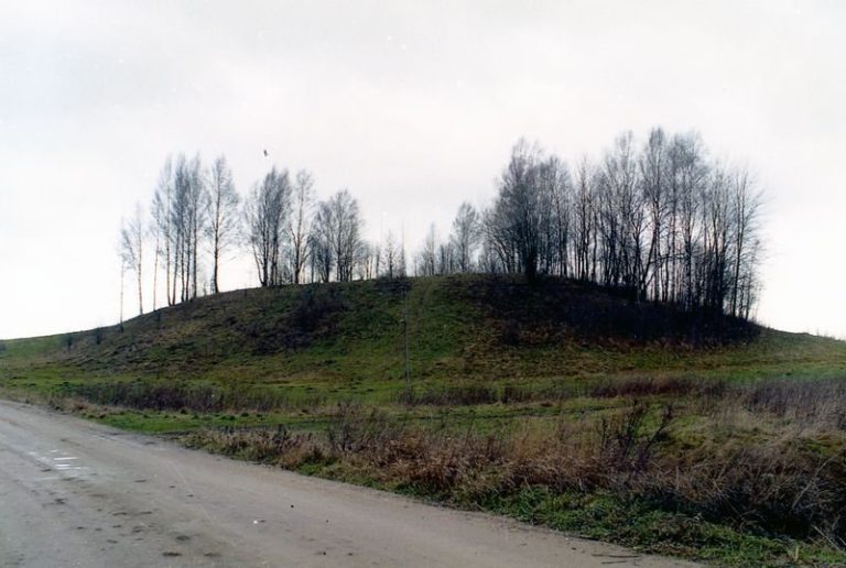
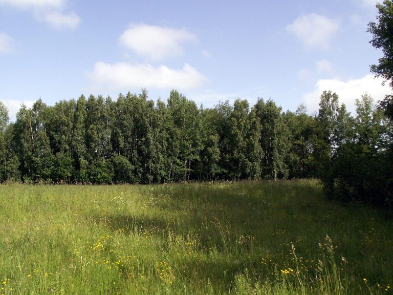
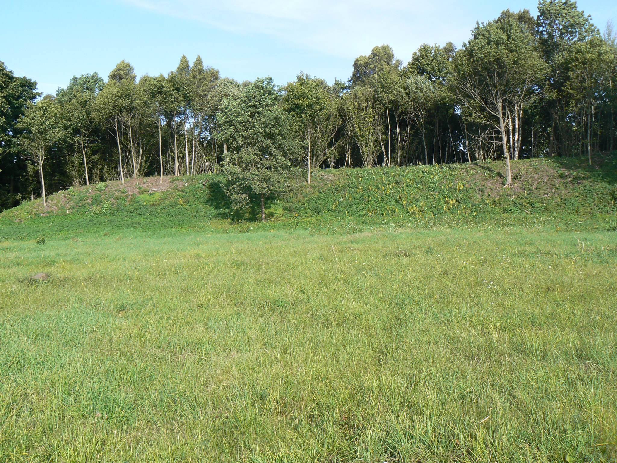
Eketės Hillfort occupies a high position on the right bank of the Eketė River near its confluence with the Dangė-Akmena River. The Eketė valley surrounds the hillfort on the east, south, and west. On the northern side, a rampart and a filled-in ditch formed the principal defensive boundary. The river-facing slopes rise steeply for 8–9 metres, enclosing an irregular quadrangular plateau about 110 by 105 metres and elongated from east to west.
A semicircular rampart, 130 metres long and 8–9 metres high, follows the northern edge of the plateau. Its outer slope descends 9 metres to a ditch 3.5 metres wide and 1.2 metres deep. Beyond this ditch are a second rampart, 0.8 metres high and 2 metres wide, and a second ditch measuring 2.5 metres across and 1.3 metres deep. A third rampart rises 1.5 metres and is 3 metres wide.
Further outward, a third ditch is 2.5 metres wide and 1.2 metres deep, followed by a fourth rampart 0.8 metres high and 1.5 metres wide. A fourth ditch measures 2 metres across and 1.1 metres deep, while the remains of a fifth rampart rise more than 0.5 metres. A section cut through the outer side of the defenses exposed three ramparts and the four ditches between them.
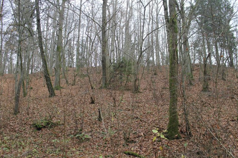
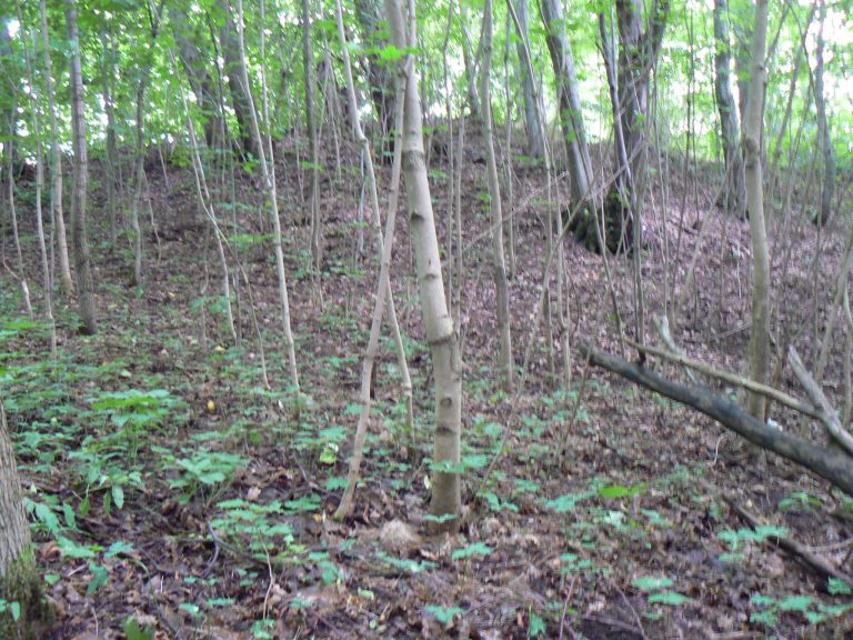
The pond construction destabilized the eastern and southern slopes. Regrowth from cut shrubs now covers parts of the hillfort, and deciduous trees grow across the outer slope of the rampart.
Ancient settlement
The ancient settlement occupied approximately 6 hectares at the foot of the hillfort to the north-east, beyond the rampart. Four ditches, each 3–4 metres wide and about 1 metre deep, enclosed it, together with three small ramparts whose remains survive. Boreholes identified a cultural layer across an area about 480 by 140 metres north and north-east of the hillfort. Numerous fragments of clay daub, material from earthen or clay-covered building walls, occurred within this deposit.
The 1972 excavations uncovered part of a post-built structure, a building supported by upright wooden posts set into the ground. It was approximately 4–5 metres wide and 8 metres long, within a cultural layer 0.3–1.4 metres thick. The finds include craft tools, Roman coins, amber, glass ornaments, and iron objects such as a knife and parts of a sickle and a bit. Pottery was made both by hand, with smooth and rough surfaces, and on a wheel.