Kalniškės piliakalnis: A Curonian Hillfort in Lithuania
Site at a Glance
- Rating
- 4.7
- Popularity
- Low
- Country
- Lithuania
- Primary era
- Medieval
- External website
- Open
- Eras represented
- Medieval, Modern
- Civilizations
- Unclassified
- Site type
- Military
- Remains
- Fort
On this page10 sections
History
Kalniškės piliakalnis, also known as Gargždai Hillfort, is a fortified hillfort in Lithuania near Gargždai, on the left bank of the Minija. Archaeological finds indicate occupation before the Common Era, with the earliest material attributed to the Bronze Age, a prehistoric period associated with widespread bronze tools and weapons. Roman coins found at the site provide further evidence of its long use.
Prehistoric and Curonian associations
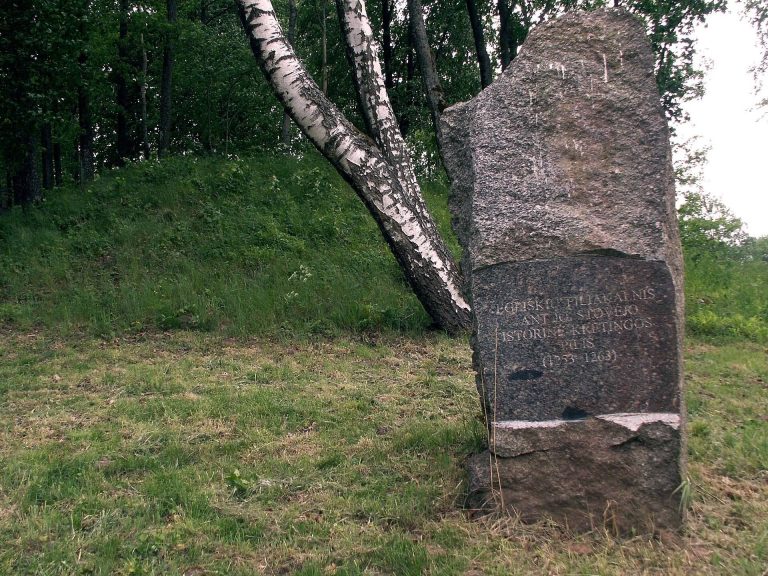
A Curonian hillfort called Gargždai was mentioned in 1253. The Curonians were a Baltic people who occupied parts of the eastern Baltic region during the medieval period. Kalniškės piliakalnis lies northeast of Gargždai near the former Kalniškės Anielinas manor, and it is also known by the names Gargždės Pilalė and Anielinas.
The field around the hillfort is traditionally called Raganinė. Local tradition holds that this area was once an alkvietė, a sacred place connected with pre-Christian Baltic religious practices.
Archaeological investigation and later changes
The hillfort was described by Liudvikas Kšivickis, a Lithuanian archaeologist and geographer. The Lithuanian Institute of History carried out exploratory investigations in 1963. Further work followed in 1999 and 2000 during the consolidation of the slopes and the installation of visitor stairs.
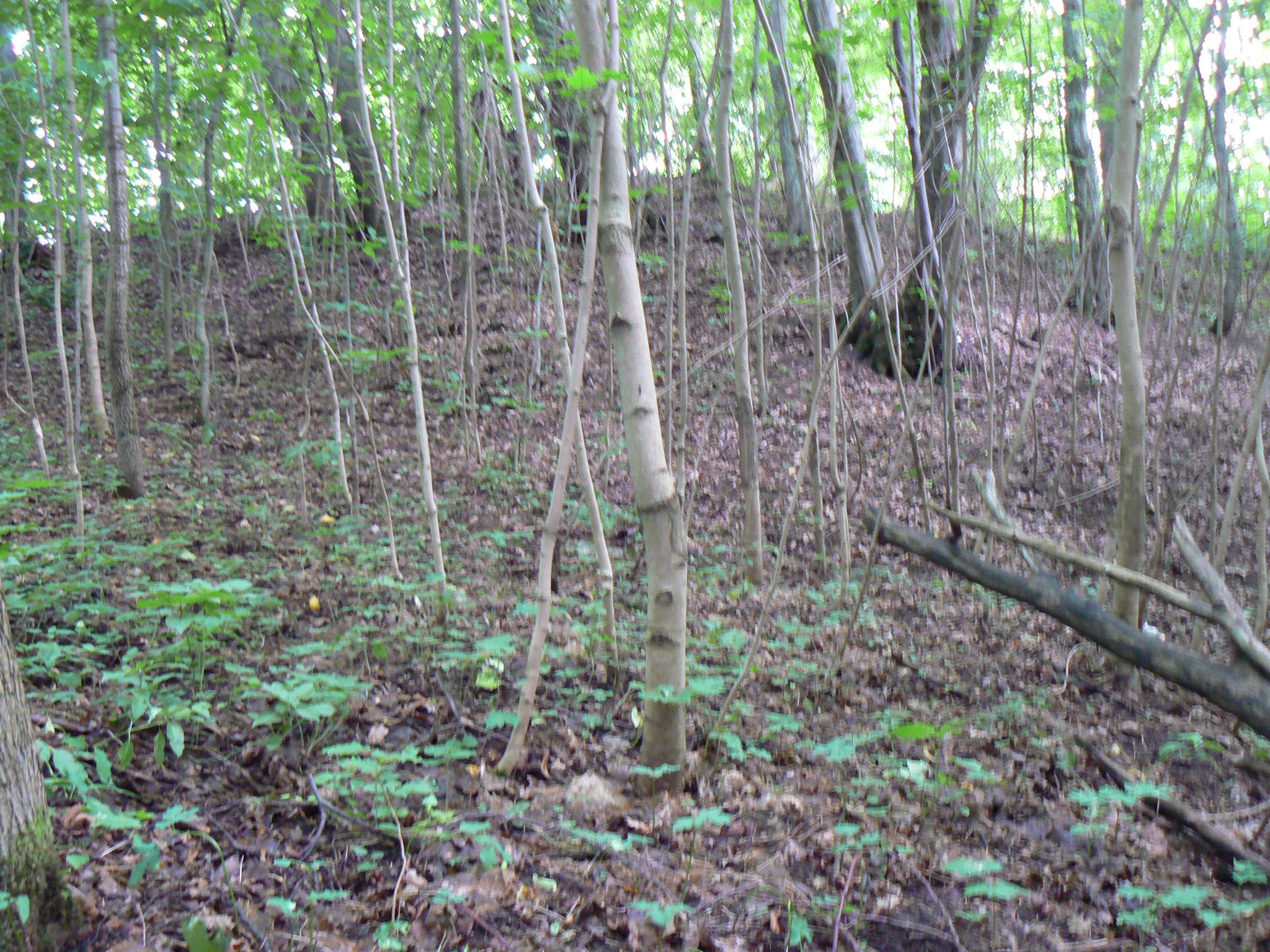
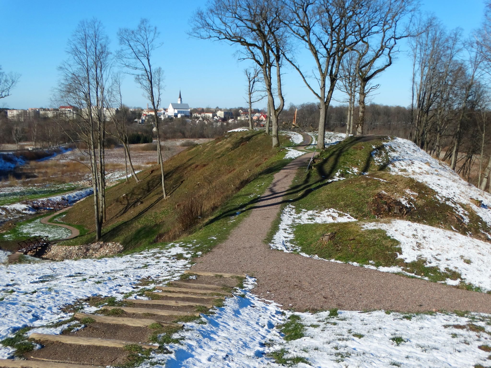
A settlement at the southwestern foot was investigated in 1998. Its cultural layer, the accumulated archaeological deposits formed by human activity, dates from the second half of the first millennium to the beginning of the second millennium. In 2019, trees were cleared from the formerly forested hillfort to expose its earthworks. Paths, wooden stairs, footbridges, and a viewing platform were added, while eroding slopes were reinforced. Some local residents opposed these substantial changes to the site’s appearance.
Remains
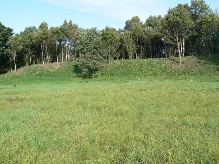
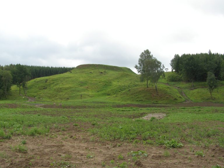
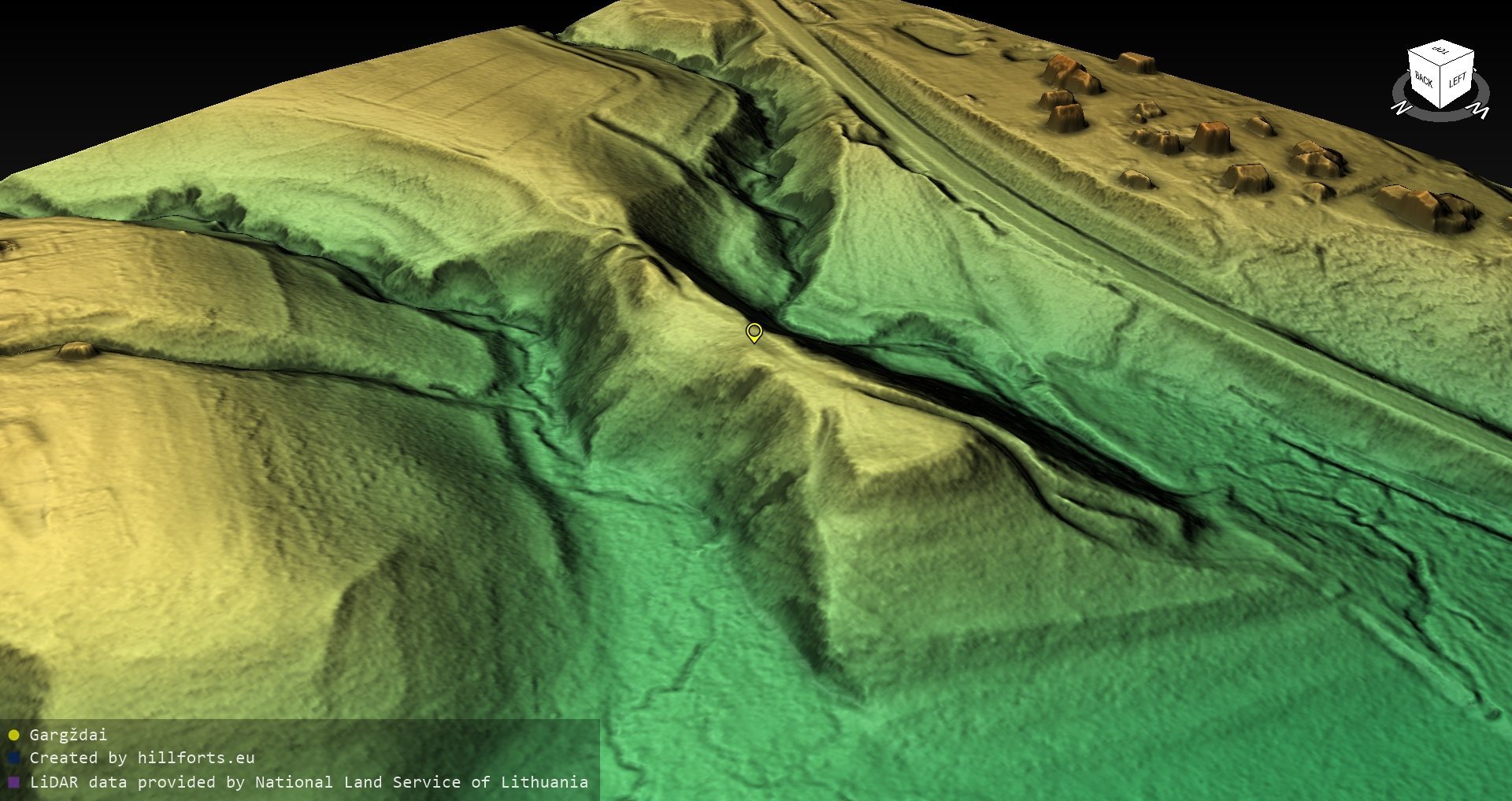
Kalniškės piliakalnis occupies a high promontory above the Minija. Valleys formed by the Minija and an unnamed stream border it to the northwest and southeast, while higher ground approaches from the east. The river-facing slopes rise steeply to approximately 20 metres. The principal defenses are concentrated on the eastern side, where ditches and embankments separate the hillfort from the adjoining high ground.
Plateau and internal defenses
Hillfort plateau
The plateau is elongated from east to west and has a trapezoidal plan covering approximately 2,500 square metres. A now largely levelled embankment once divided it into two parts: a lower eastern area measuring about 30 by 13 metres and a western area measuring about 70 by 30 metres. A distinct cultural layer extends across the plateau.
Eastern earthworks
Three ditches and three embankments separate the hillfort from the higher ground to the east. The main eastern ditch is about 19 metres wide at the top and 1.5 metres deep. Beyond it stands a 2-metre-high embankment, followed by a ditch approximately 5 metres wide, another embankment about 2 metres high, a shallow ditch, and a third embankment reaching 3 metres in height.
At the eastern end of the plateau, a more detailed sequence consists of four embankments and three ditches. A 3-metre-high, 25-metre-wide embankment is followed by a ditch 3 metres wide and 0.3 metres deep, then a second embankment 1.5 metres high and 8 metres wide. Outside it lies a second ditch, 5 metres wide and 1 metre deep, followed by a third embankment 1 metre high and 8 metres wide. A third ditch, 9 metres wide and 1 metre deep, comes next, followed by a fourth embankment 0.5 metres high and 10 metres wide.
Slopes and foot settlement
Slopes and present surface
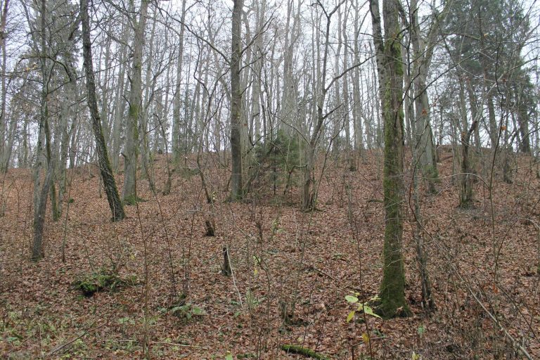
The northern and southern slopes have slipped, and the base of the northeastern slope is eroding near the embankments. Sparse deciduous trees cover parts of the site, while grass covers the plateau. Stairs have been installed on the southwestern slope.
Southwestern settlement
The settlement at the southwestern base contained handmade pottery, a sandstone spindle whorl, stone pestles, and a copper-alloy chain. These finds are preserved by the Lithuanian National Museum and help define the activity associated with the settlement’s cultural layer.