Ōmidō Temple Ruins: An Ancient Buddhist Temple Site in Japan
Site at a Glance
- Rating
- 3.5
- Popularity
- Very Low
- Country
- Japan
- Primary era
- Classical
- External website
- Open
- Eras represented
- Classical
- Civilizations
- Yamato
- Site type
- Religious
- Remains
- Monastery
On this page8 sections
History
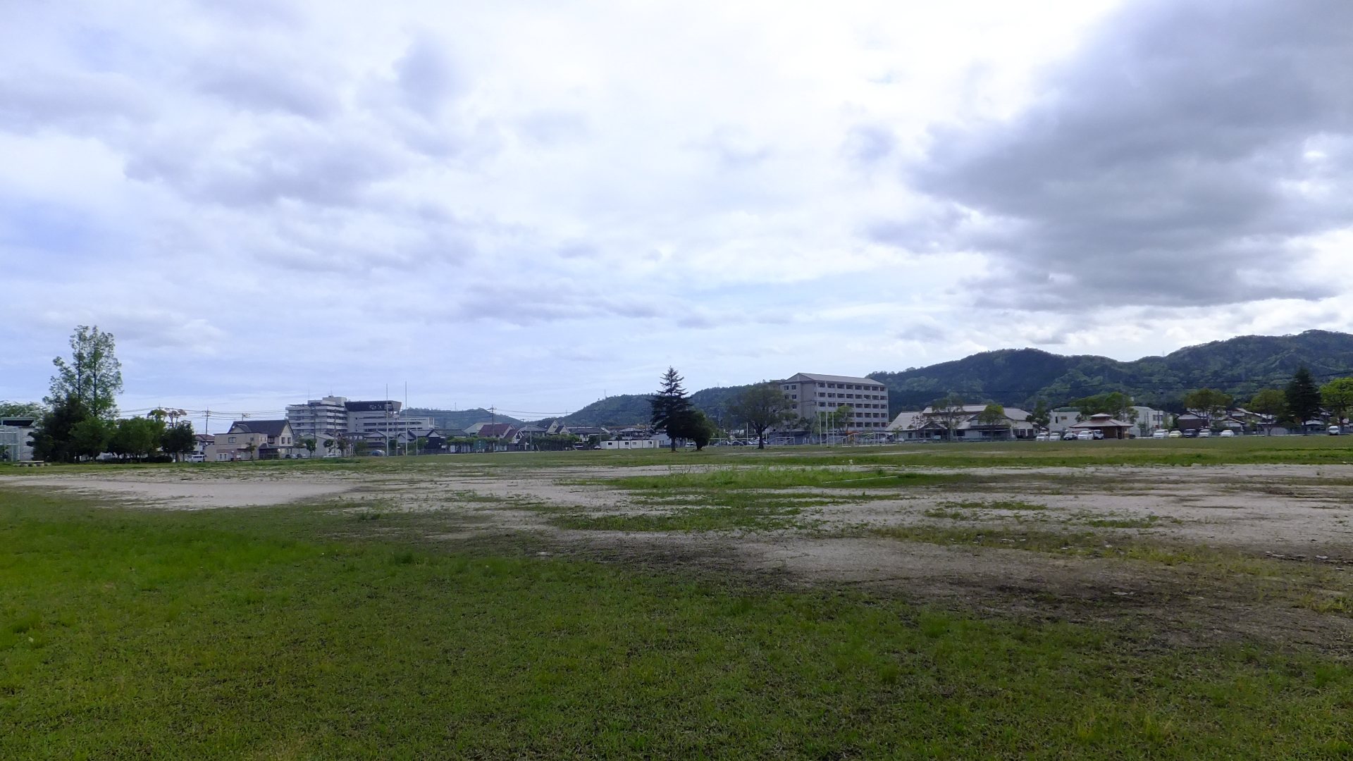
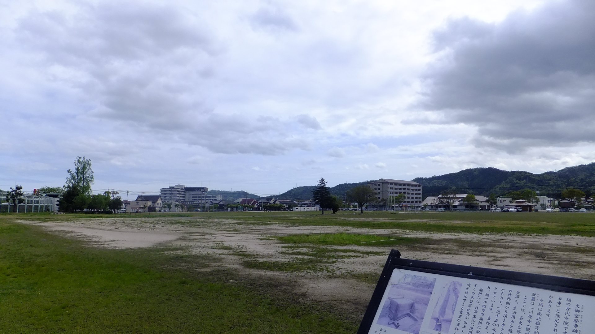
Ōmidō temple ruins in Japan are the remains of an ancient Buddhist temple in Daikyōji, Kurayoshi, Tottori Prefecture. Established in the mid-seventh century, the temple was one of the oldest and largest ancient temple sites in the San’in region and followed a Kanzeon-ji-style plan, a simplified arrangement associated with major seventh-century temples.
Foundation and Regional Role
The temple stood about 5 kilometers east of the Hōki provincial capital, near the middle basin of the Ogamo River. Its position beside the presumed ancient San’in Road and near a frontier region facing Silla, an ancient Korean kingdom that occupied much of the Korean Peninsula, suggests that its location was connected with the area’s strategic importance.
The temple’s original name is thought to have been Kume-dera. Earthenware found within the precinct bears the ink inscription “Kume-dera” and another abbreviated form of the name. Kume-dera is considered to have been the representative temple of Kume District and the clan temple of an influential family that built the nearby Sanmyōji Kofun, an ancient burial mound associated with powerful local elites. That family later became the district’s administrative lineage.
The temple does not appear in surviving historical records, so much of its history is understood through its remains and excavated objects. Its roof tiles identify four phases of development: foundation in the third quarter of the seventh century, major expansion in the fourth quarter, repairs during the first and second quarters of the eighth century, and further repairs in the third quarter. The temple was probably abandoned around the eleventh century.
Later History and Investigation
Ōmidō had a status distinct from Hōki Kokubun-ji, the Buddhist provincial temple established under the ancient provincial temple system, because the two sites shared no roof-tile types. A record from 1742 describes ruins called “Ōmidō,” while a cadastral map from the Meiji period shows two earthen mounds.
In 1952, rice fields covering the precinct were filled to create a factory site. A pagoda foundation stone and one of the four foundation stones associated with its central pillar were moved to Kaminada Elementary School. After the factory closed in 1986, test and confirmation surveys took place from 1994 to 1996 during redevelopment planning. The Kurayoshi City Board of Education then conducted five excavations between 1996 and 2000, clarifying the buildings and overall plan.
The precinct became a National Historic Site on January 29, 2001. Excavations connected with site development have continued from fiscal year 2022, and site improvement works from fiscal year 2023. Excavated artifacts became Tottori Prefecture Protected Cultural Properties in 2021. In June 2025, the foundation stones formerly kept at Kaminada Elementary School were returned to the Ōmidō temple ruins. Excavated materials are preserved and displayed at the Kurayoshi Museum.
Remains
Precinct Layout and Construction
The precinct measures approximately 135 meters from east to west and at least 165 meters from north to south. Its full north-south extent may have reached about 220 meters, although the southern boundary is uncertain because the site continues beneath a road. Earthen walls enclosed the eastern and western sides, while a raised step or terrace defined the northern side.
The complex used a simplified Kanzeon-ji-style arrangement associated with the plan of Kawahara-dera, a major seventh-century temple in the Asuka area. The Main Hall stood on the west and the pagoda on the east. To the north were the Lecture Hall and monastic quarters. A cloister, meaning a covered passage enclosing or connecting religious buildings, surrounded the Main Hall and pagoda and joined the two sides of the Lecture Hall. The western section of this passage survives especially well and was about 6.9 meters wide.
Main Hall and Pagoda
The Main Hall foundation corresponds to a building measuring approximately 12.3 by 18.4 meters. East of it, the pagoda foundation indicates a structure about 9.6 meters square. A foundation stone from the pagoda’s central pillar and one of its four central-pillar stones were moved during twentieth-century factory development before being returned to the temple ruins in 2025.
Lecture Hall and Monastic Quarters
The Lecture Hall foundation measures approximately 32 by 16 meters. Two buildings stood to its north, one on the east and one on the west. Each had three rooms and is believed to have served as monastic quarters.
Water System and Excavated Objects
The southern part of the precinct is less clearly understood, but the complex included a substantial water-supply system. Cisterns and wooden gutters or water pipes formed part of this installation.
Excavations produced large quantities of roof tiles, earthenware, wooden objects, and metal objects. Buddhist-related finds include fragments of Buddhist images, a stone standing Bodhisattva figure, copper spoons, copper animal heads, and molds for Buddhist ritual implements. A Bodhisattva is a Buddhist figure associated with the pursuit of enlightenment and the aid of other beings.
The inscribed earthenware bearing “Kume-dera” and its abbreviated form, together with stamped earthenware, connects the excavated precinct with the temple’s presumed original name. The roof tiles belong to four chronological groups that correspond to the foundation, major development, and two repair phases between the seventh and eighth centuries.