Vladař: A Celtic Fortified Settlement in Czechia
Site at a Glance
- Rating
- 4.7
- Popularity
- Very Low
- Country
- Czechia
- Primary era
- Iron Age
- Eras represented
- Iron Age
- Civilizations
- Celtic
- Site type
- Military
- Remains
- Fortified Town
On this page15 sections
History
Vladař is a large Celtic fortified settlement in Czechia, situated about five kilometres east of Žlutice on a basalt table mountain. Occupied from the Middle Bronze Age and extensively developed during the fifth and fourth centuries BC, it became one of the largest Celtic fortified settlements in Bohemia. The hill may have served as a regional power centre comparable to Závist, although its precise political role remains uncertain.
Early occupation and Celtic development
Archaeological finds place the earliest occupation in the Middle Bronze Age, around 1300 BC, with further activity during the Late Bronze Age. The settlement became especially important during the sixth and fifth centuries BC. A bronze warrior figurine indicates activity around 450 BC, although that find does not define the beginning or end of the settlement.
Vladař flourished during the fifth and fourth centuries BC. Pollen analysis indicates that the surrounding landscape was almost completely cleared of trees and intensively cultivated by the turn of the fifth and fourth centuries BC. This evidence places the fortified settlement within a heavily managed agricultural landscape rather than an isolated hilltop refuge.
A major destructive fire around 200 BC violently interrupted the settlement’s development. The burning of timber elements in the defenses contributed to the collapse of the ramparts, while the settlement itself declined sharply. The hill was completely abandoned around the beginning of the Common Era. The surrounding landscape then returned for a long period to a largely natural condition.
Vladař’s final decline cannot be explained with certainty, although the major fire clearly played a part. Its classification as an oppidum, a large fortified settlement of the later European Iron Age often associated with Celtic societies, also remains unresolved because the Late Iron Age chronology has not been securely established.
Later settlement and recognition
A new phase of colonization began in the sixth century AD and eventually contributed to the formation of a high-medieval cultural landscape around the hill. The earlier fortified settlement, however, was not re-established in its former form.
Traces of the defenses were mentioned in the sixteenth century by the Czech chronicler Václav Hájek of Libočany. Vladař was recognized as an important prehistoric hillfort during the second half of the nineteenth century, but detailed archaeological investigation remained limited for many years. Modern agriculture, roads crossing the defensive lines, and illegal metal detecting damaged parts of the site. In 2002, dozens of shallow and deep pits were recorded on the acropolis, and metal objects were removed permanently.
Systematic archaeological work began in 2002. Test trenches were placed in areas damaged by metal detecting, and a rescue investigation examined the rampart west of the northern gate. This work exposed a complete section of a partly demolished rampart and made it possible to reconstruct its original form. Because the entire site would be expensive to excavate and older excavation methods could themselves cause damage, later research has concentrated on areas threatened by construction or other destructive activity.
In 2007, the Karlovy Vary Museum and the Vladař civic association investigated the bank of a small pond at the western foot of the hill. The construction there had first been encountered during excavation of the pond in 1980, but its importance became more widely known after a witness reported it in 2007. A civic association devoted to protecting and studying archaeological sites has since documented Vladař with support from the Czech Ministry of Culture and in cooperation with researchers from the Archaeological Institute in Prague. Airborne laser scanning, or lidar, produced a detailed three-dimensional model of the terrain and revealed the form of the settlement and its defenses. Vladař has been protected as a cultural monument since 1958.
Remains
Settlement layout and defenses
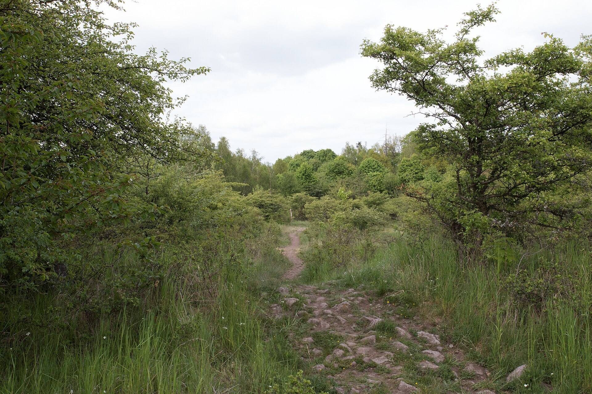
Vladař occupies the summit and slopes of a basalt-built table mountain rising to 693 metres above sea level. The Střela River flows around the hill to the north and northwest, while an unnamed stream joins it directly below the settlement. The acropolis stands about 230 metres above the Střela valley. The fortified complex comprised an elevated acropolis, a lower fortified area, and an outer defensive zone, together covering approximately 116.3 hectares. Its visible walls and earthworks extend for roughly three kilometres and enclose more than 100 hectares.
Acropolis
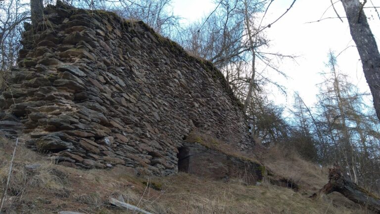
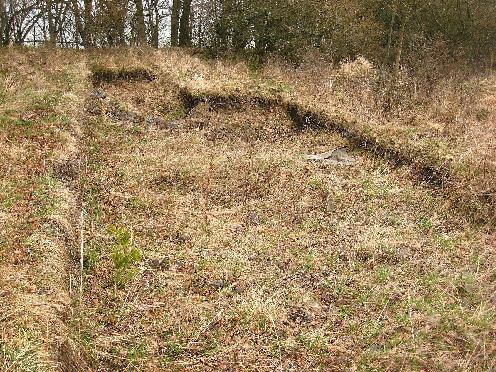
The acropolis covered about 13.4 hectares and had a fortification circuit approximately 1,675 metres long. Its rampart was around eight metres wide and consisted of packed earth and basalt stone reinforced with timber. The outer face originally rose about 4.2 metres. The timber framework was destroyed by the major fire, and its collapse formed the earthwork visible today. Five construction stages have been identified, although radiocarbon analysis has provided approximate dates for only some of them.
Two elevated areas lay within the acropolis. The northern summit reached 693 metres and shows no evidence of substantial fortification, while the southwestern elevation reached 688 metres. Three funnel-shaped entrances led into the central area. Their projecting arms curved inward, creating constricted approaches before the gateways.
Gates and internal defenses
Gate A stood on the western slope at the outlet of a natural gully. Stone ramparts formed its sides, and a broad ditch lay in front. Gate B occupied the northern part of the acropolis in similar terrain. It had an additional rampart on the inner side, while a smaller defensive line closed the area behind the entrance.
Gate C stood on the southern slope near the summit. Its fortification was interrupted, and its defensive arms curved inward. A first defensive line crossed the slope in front of the gate as a continuous band of smaller stones connected to the main acropolis fortification.
Acropolis reservoir
A reservoir measuring approximately 45 by 30 metres stood in the centre of the acropolis. It collected rainwater and provided a stored water supply within the elevated fortified area.
Lower fortified area
The lower fortified area extended across the northern, western, and northwestern foot of Vladař and covered approximately 99 hectares. Its irregular defenses included two broad ditches, each about 15 to 20 metres wide and separated by seven to ten metres. In some places, an earthwork rose above them to a total height of approximately 13 metres.
Ramparts and ditches divided this area into four spaces connected by gates. The principal entrance lay on the western side. Along the most accessible southwestern section, the main defensive line consisted of two parallel ditches reinforced by a substantial inner rampart. At least one typical Celtic pincer gate, whose adjoining defenses curve inward to constrict the approach, survives on the western side. Another gate structure stood in the north.
Outer defensive zone
An outer fortified zone of approximately three hectares lay in front of the southwestern defenses. Its rampart extended for about 500 metres and incorporated several older earthworks. This arrangement shows that the outer defenses developed through a complex sequence, although the individual phases cannot yet be dated precisely.
Water installations
Western timber installation
At the western foot of the hill, an artificial water installation was preserved in clay sediments near a former spring. It consisted of carefully worked oak beams with rectangular sections. The timber framework formed several interconnected chambers, and its floor was paved with river cobbles. Comparable timber structures with the same orientation were found on the opposite bank of the pond.
Radiocarbon dating places the oak construction broadly between the eighth and fourth centuries BC. Tree-ring analysis identified two groups of timbers. Young, rapidly growing trees were felled shortly after 480 BC, while older, slow-growing oaks were felled shortly after 463 BC. The installation originally measured about 10 by 11 metres. Its timber-lined dam comprised three or four rows of oak beams, with walls surviving to heights of approximately 120 to 140 centimetres.
The purpose of this carefully built structure remains uncertain. Its position at a former spring suggests that it may have collected water, while the connected chambers, some sealed internally with unfired clay, may have functioned as retention reservoirs. Parts of the extensive structure may also have been linked to timber buildings above ground. Because the spring lay inside the strongly fortified lower zone, the installation reflects the importance of controlling water supplies. It is probably among the oldest known artificially constructed timber-lined water reservoirs in the wider European region.
Finds and preserved evidence
Artefacts from the settlement
Finds from Vladař include a flint blade, two fragments of clay weights, pottery fragments, and Late Bronze Age pottery. Fragments of graphite-tempered vessels, a ceramic type associated with the La Tene period of Celtic Iron Age central Europe, also occur among the material. Atypical prehistoric pottery was found in the lower fortified area in 2004 near a children’s summer camp.
A bronze figurine, probably made in northern Italy or the eastern Alpine region, formed the tripod support of a probably wooden, cone-shaped pyxis, a small container for valuable or cosmetic substances. The vessel was probably modelled on Etruscan bronze prototypes. Another bronze warrior figurine provides evidence for settlement activity around 450 BC, while fragments from the acropolis confirm occupation during the Middle Bronze Age.
Pond-side wooden structure
The investigation beside the pond exposed the lower part of a wooden structure preserved in clay. During the pond’s excavation, a witness reported seeing numerous human bones within wooden passage-like structures. The function and full extent of these remains have not been established.