Tiruchirappalli Rock Fort: A Historic Fort and Temple Complex
Site at a Glance
- Popularity
- Very High
- Country
- India
- Primary era
- Early Modern
- Eras represented
- Medieval, Early Modern
- Civilizations
- British, Pallava, Vijayanagara
- Site type
- Military
- Remains
- Fort
On this page13 sections
History
Tiruchirappalli Rock Fort is a fortified rock-and-temple complex in India, developed over centuries in the Tamil architectural tradition. Its oldest structure is a cave temple built under the Pallava king Mahendravarman I, whose reign lasted about 580–630 CE; the temple is thought to date to its later years. The rock’s strategic position drew successive ruling powers, and the fort’s name reflects repeated fortification, first under Vijayanagara rulers and later by the British during the Carnatic Wars.
Pallava, Pandya and Chola rule
The Pallavas eventually lost control of the city to the Pandyas. The Cholas reasserted their authority in the tenth century and held the region until their empire declined. Nearby Woraiyur served as their capital during this period.
Delhi Sultanate and Vijayanagara control
Malik Kafur, a general of the Delhi Sultanate known for campaigns in South India, raided the region before the sultanate established control there in the mid-fourteenth century. The Delhi Sultanate was later driven out, and the region came under Vijayanagara rule. Tiruchirappalli then became a Vijayanagara stronghold.
The Madurai Nayak capital
In the early sixteenth century, the Madurai Nayaks, formerly governors of the Vijayanagara Empire, took control. They made Tiruchirappalli their capital and developed it as a trading city. The fort complex became their seat of power, and they reshaped the temple complex around the rock’s naturally defensible position.
The Nayaks’ authority faced challenges from neighbouring kingdoms and larger powers. At the sixteenth-century Battle of Toppur, the Aravidu dynasty of Vijayanagara defeated the Madurai Nayaks with support from the rulers of Mysore and Thanjavur. During their roughly two centuries of rule, the Nayaks also had recurring conflicts with the Thanjavur Nayaks, the Thanjavur Marathas, the Adil Shahi dynasty, Mysorean forces and the Imperial Marathas. The fort complex lay in the northwestern part of Nayak territory.
The Carnatic Wars and British control
In the mid-eighteenth century, Chanda Sahib, a military leader allied with the French, made the fort his base. During the Carnatic Wars, conflicts involving regional Indian powers and the competing French and British forces in southern India, he fought the combined forces of the Carnatic Nawab and the British. After his defeat, he was forced to cede his lands to the British. Following the French defeat in the wars, the British seized the fort. Its capture helped them establish a foothold in Tamil Nadu and contributed to the later expansion of British power across South India and India.
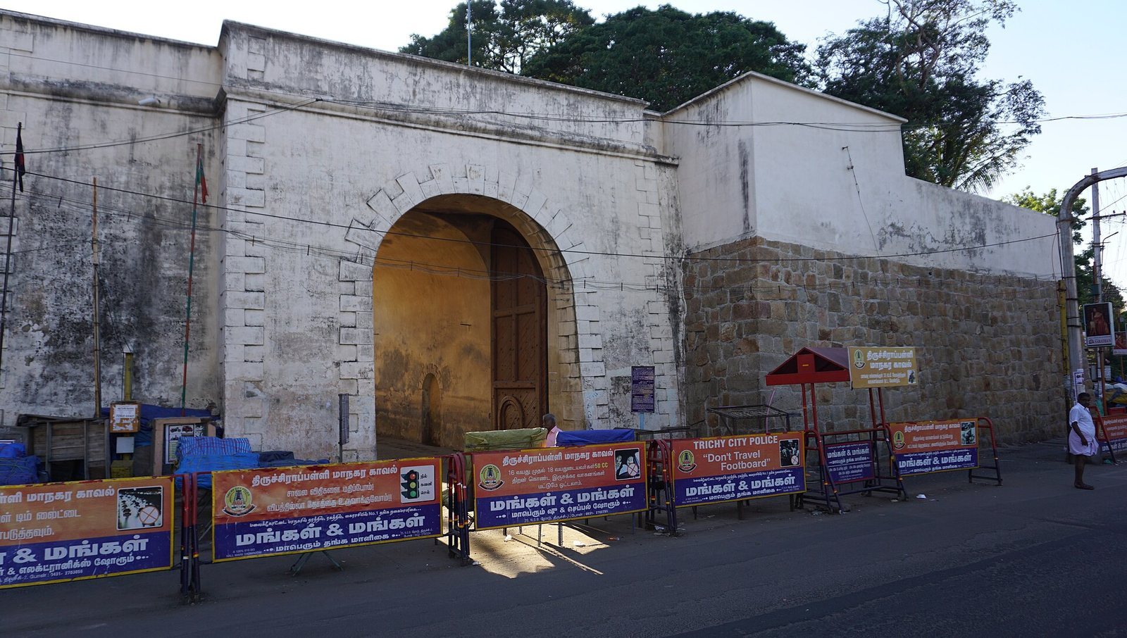
By the late eighteenth century, Tiruchirappalli had become a cantonment town, a settlement organized around a military garrison. The fort’s gate was then known as the Main Guard Gate. Hyder Ali, the ruler of Mysore, posed a major threat to the British, while the French continued to contest their colonial power in the region. Robert Clive lived near the tank during his time in the city.
In modern times, the Archaeological Survey of India’s Chennai Circle has maintained and administered the fort.
Remains
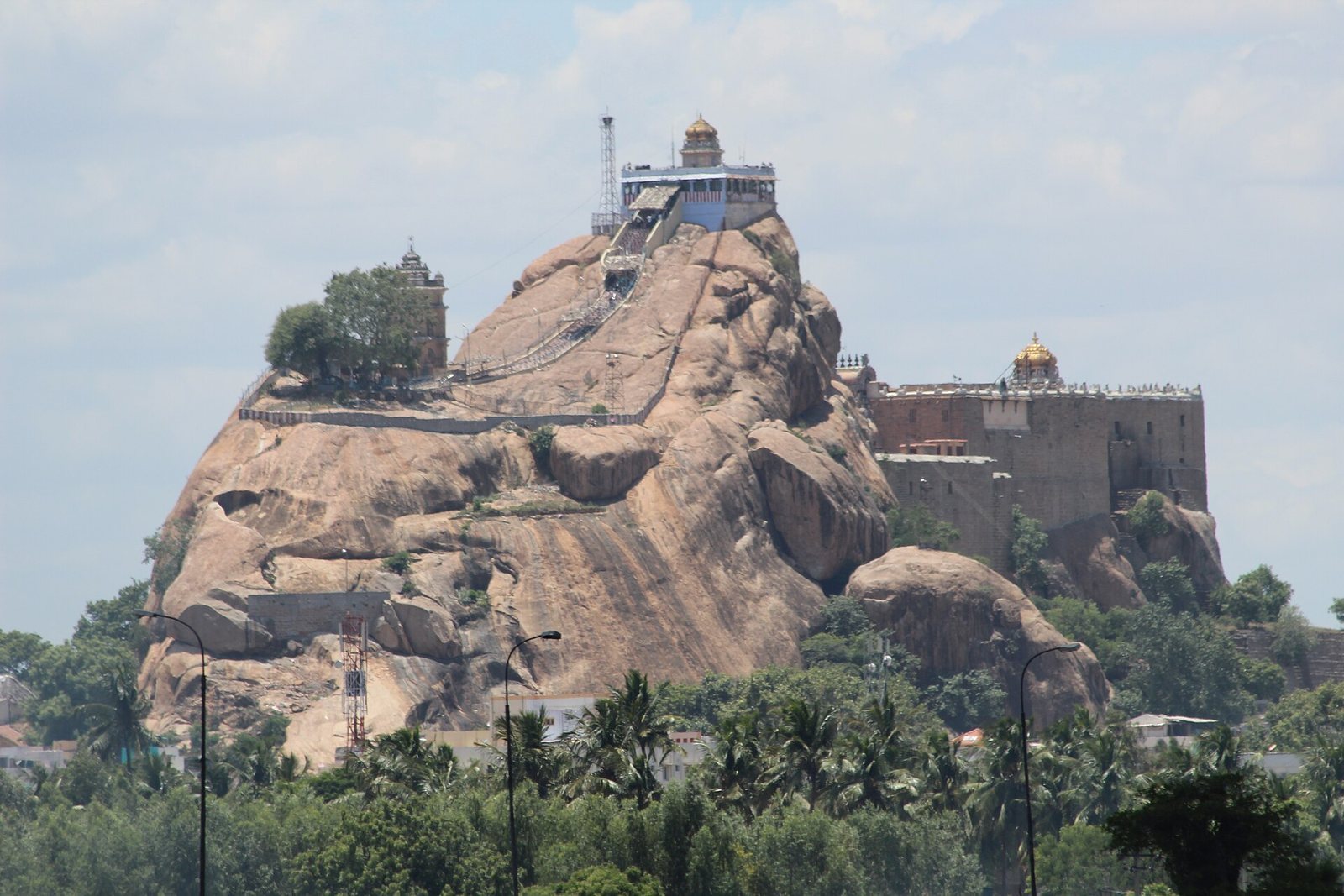
The complex is arranged across and around a natural rock outcrop, with temples at its foot, along the ascent and at the summit, as well as sanctuaries carved into the rock. Its structural system is classified as Indo-Saracenic Dravidian architecture, combining a colonial-era architectural synthesis with the South Indian Dravidian tradition of temple building.
Rock and fortifications
The outcrop
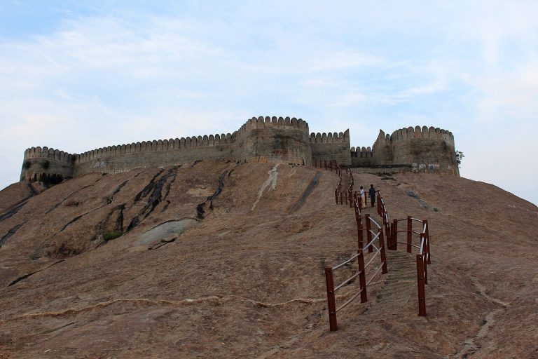
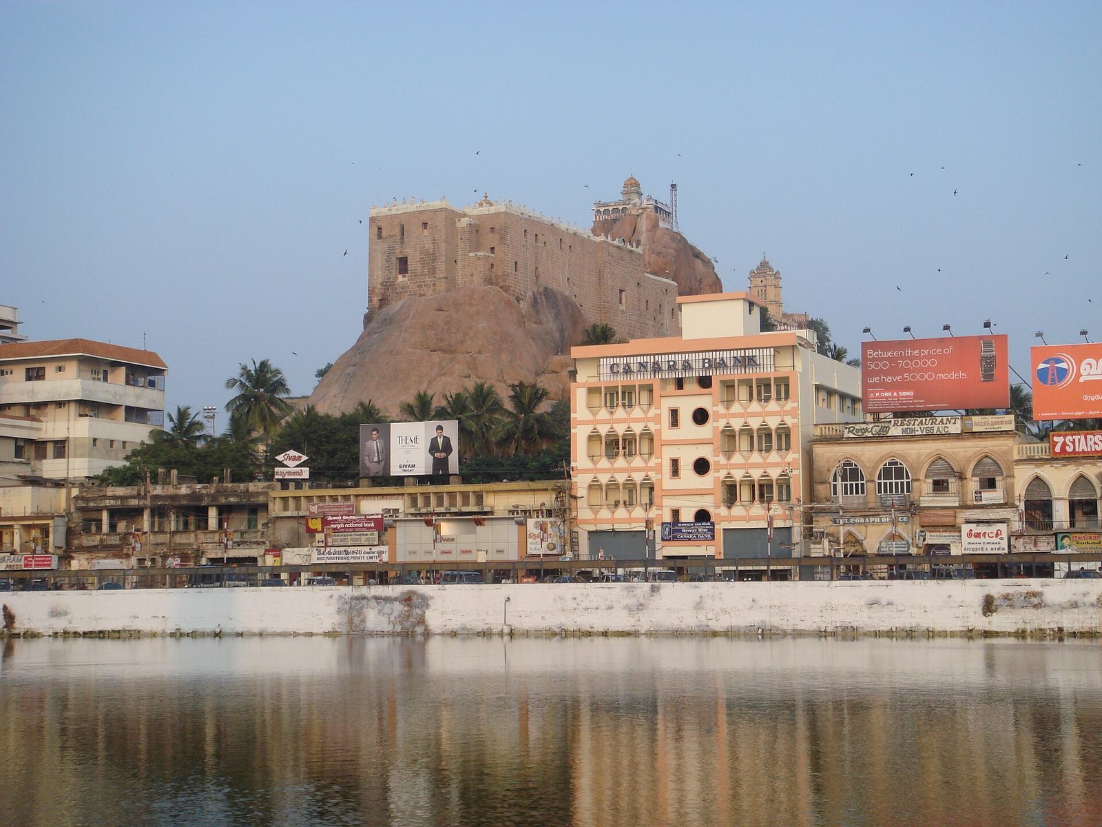
The fort occupies an 83-metre-high rock formation beside the Kaveri River. A flight of 344 steps cut into the rock climbs towards the summit. The formation is believed to be about 3.8 billion years old, comparable in age to rocks in Greenland and older than the Himalayas. It contains quartz, used in glassmaking, and feldspar, used in ceramics.
Nayak walls and lake
The Madurai Nayaks built the Rock Fort Temple Lake and the fort’s major walls as foundational works for the town. These features formed part of the fortified complex developed around the rock.
Temples on and around the rock
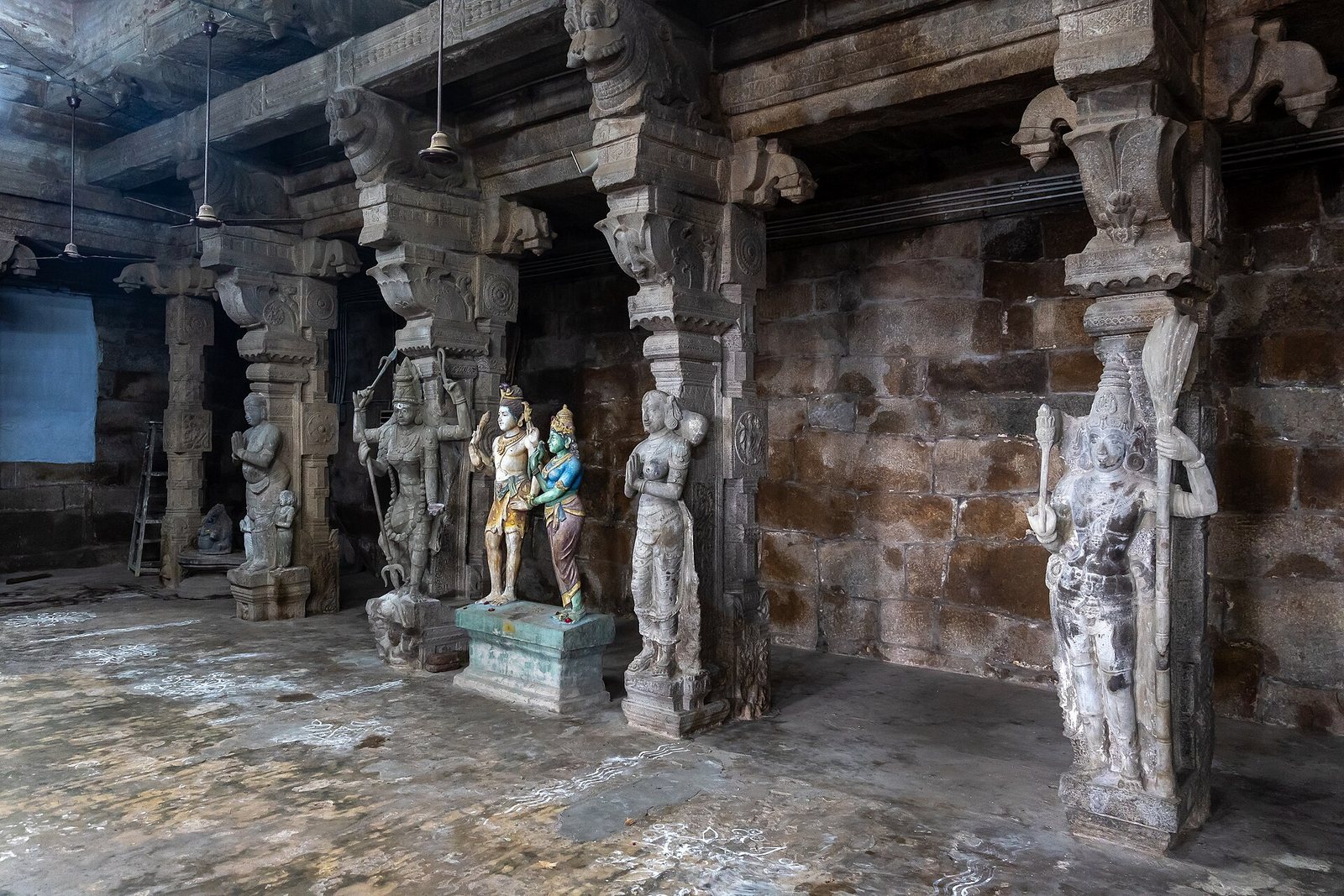
Upper and Lower Cave temples
The Upper Cave and Lower Cave are rock-cut temples, meaning their places of worship were carved directly into natural stone. The Lower Cave lies in the lower part of the fort. Farther up, the Upper Cave, also called Lalitankura Pallavesvara Griham, stands beyond Thayumanaswami Temple and to the left before Ucchi Pillayar Temple. It contains a Sanskrit inscription attributed to Mahendravarman I, which remains the subject of debate.
Ganesha temples at the foot and summit
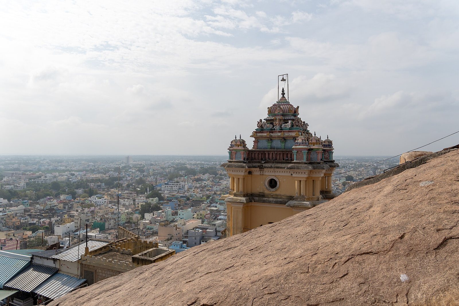
Manikka Vinayakar Temple stands at the foot of the hill and is dedicated to Ganesha, the Hindu deity associated with wisdom and beginnings. At the summit, Ucchi Pillayar Temple is also dedicated to Ganesha.
Thayumanaswami Temple
Thayumanaswami Temple stands along the ascent to Ucchi Pillayar Temple. This large, two-storey eighteenth-century temple is dedicated to Shiva, a major Hindu deity, and to Amman, a Tamil title for a goddess meaning “mother.” It also includes a shrine to Tayumanavar, an eighteenth-century Tamil religious saint. The temple’s name means “the Lord who became the mother,” and the building is considered a masterpiece of construction.