Tinnumburg: A Germanic Ringwall Fortification on Sylt
Site at a Glance
- Rating
- 4.2
- Popularity
- Low
- Country
- Germany
- Primary era
- Classical
- External website
- Open
- Eras represented
- Classical, Medieval
- Civilizations
- Unclassified
- Site type
- Military
- Remains
- Fort
On this page7 sections
History
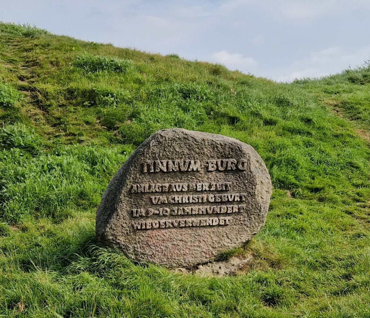
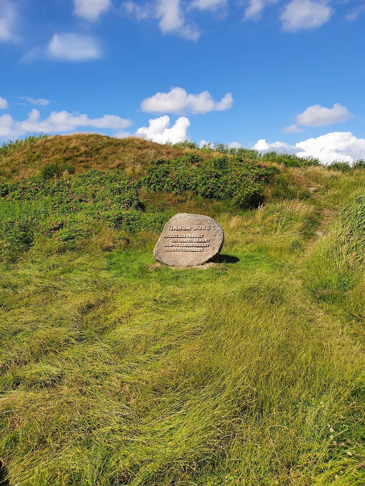
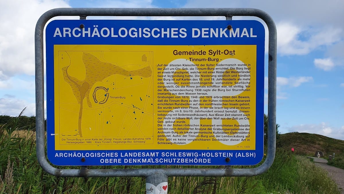
Tinnumburg is a former Germanic ringwall fortification in Germany, near Westerland and Tinnum on the island of Sylt. Also known in North Frisian as Borig, it was built around the beginning of the Common Era during the early Roman Imperial period, the centuries when Roman influence provided an important chronological framework in northern Europe. Tinnumburg formed part of a group of circular ramparts on the North Frisian islands and was later identified as a Germanic cult site.
Early foundation and ritual use
The visible rampart stands over an earlier earthwork dating from around the beginning of the Common Era. The fortification belonged to a wider island tradition of circular ramparts, although its connection with Roman settlement should not be assumed. After an initial period of use, the site became unused and waterlogged.
Early medieval reuse
Tinnumburg was occupied again between the eighth and tenth centuries. This later phase included houses built with turf walls, or cut sod. A separate settlement about 1 kilometre away probably served as a seasonal trading place and was likely linked to the fortification.
Objects from that settlement include Norwegian whetstones, used to sharpen metal tools or weapons, and loom weights for tensioning threads on vertical looms. Other finds include a Borre-style fibula, a clothing brooch decorated in a Viking Age animal and interlaced style, together with rock-crystal and lead-glass fibulae. Large quantities of amber, fragments of glass beakers, and evidence for making glass beads indicate a range of craft and exchange activities. Finds from the contemporary Lembecksburg on Föhr provide comparative evidence for interpreting Tinnumburg.
Later landscape and archaeological investigation
Before the surrounding marsh was enclosed by a dike in 1938, storm surges could leave the fortification rising like an island above the water. Excavations in 1870, 1948, and 1976 helped identify its ritual character and clarified the sequence of earlier and later use. Tinnumburg is the best-preserved of the three known fortifications on Sylt. Archsum Castle was destroyed, while Rantum Castle was buried beneath dunes.
Remains
Rampart and setting
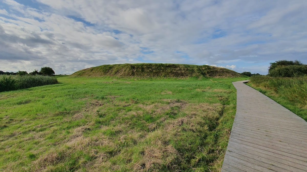
Tinnumburg is a lowland ringwall, an enclosed fortification or settlement formed chiefly by a circular or oval earthwork rampart. The rampart measures about 120 metres in diameter and approximately 440 metres around its circuit. Its outer dimensions are given as roughly 120 by 100 metres, while the inner area measures about 80 by 60 metres. The earthwork rises as much as 7 metres, from a base approximately 2 metres above sea level. The surviving remains consist principally of the rampart and the former fortification’s enclosed area.
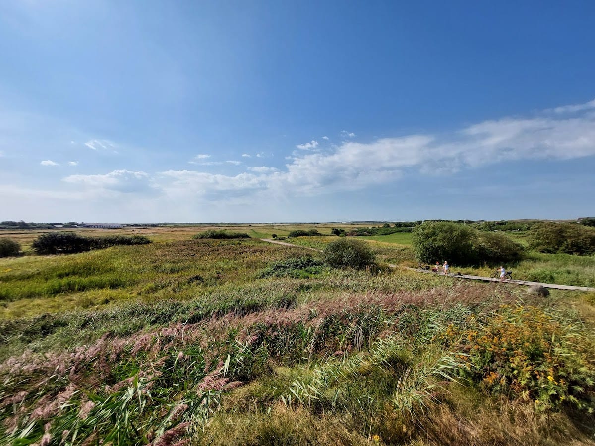
The site is bounded on the northwest by a tidal channel flowing toward the Wadden Sea and on the southeast by flat marshland. The adjacent lake called the Döplem lay beside the fortification. During the Viking Age, the channel and lake may have been navigable, potentially providing access to the sea. On the eastern side, a land bridge connected the site with the geest, a relatively elevated sandy area above surrounding marshland.
Entrances and interior
At least two entrances are indicated on the eastern and southern sides. A possible third gate on the western side may have led toward a small plateau beside the Döplem. These openings formed part of the earthwork’s arrangement around the enclosed interior.
The interior contained sod-wall houses. Excavation in 1948 revealed a waterlogged cultural layer about 1.8 metres thick on the inner plateau. It contained iron fragments, worked wood, and pottery sherds from the late Viking Age, preserving material from the period when the fortification was occupied again.