Tatarskiy Val: A Seventeenth-Century Russian Frontier Earthwork
Site at a Glance
- Popularity
- High
- Country
- Russia
- Primary era
- Early Modern
- Eras represented
- Early Modern
- Civilizations
- Russian
- Site type
- Military
- Remains
- Wall
On this page7 sections
History
Building a southern frontier
Tatarskiy Val, the collective name for the Tambov and Kozlov earthworks, is a seventeenth-century defensive line built for the Russian state, with surviving sections in Russia. It formed part of the Belgorod–Simbirsk fortified line, constructed to guard the southern frontier against raids by Crimean Tatars, associated with the Crimean Khanate, and Nogais, peoples of the Eurasian steppe. The new earthworks replaced wooden defenses considered unreliable.
As raids grew more frequent in the second quarter of the seventeenth century, the government made frontier security a priority. The proposal for the earthwork is credited to Fyodor Nakvasin, a clerk in the Pushkar Prikaz, the state office responsible for artillery. Construction began in April 1647. Peasants and state-service personnel from nearby districts built the rampart by hand. Although work continued until 1655, the principal construction was finished by autumn 1647.
Defense, repair, and settlement
In 1655, during an attack on Tambov, the attackers had to cut through the rampart. The delay and heavy losses gave the city’s defenders time to organize and repel the assault. The earthwork was repaired in 1670 and again in 1685.
The southern defenses helped check repeated raids and opened newly developed lands to wider settlement. Among the settlements that arose were Rasskazovo, Kirsanov, Uvarovo, Inzhavino, and Muchkapsky. Tatarskiy Val is protected in Russia as a cultural heritage site of federal significance and as a monument of history and nature.
Remains
Earthwork and surviving landscape
Rampart, ditches, and watchtowers
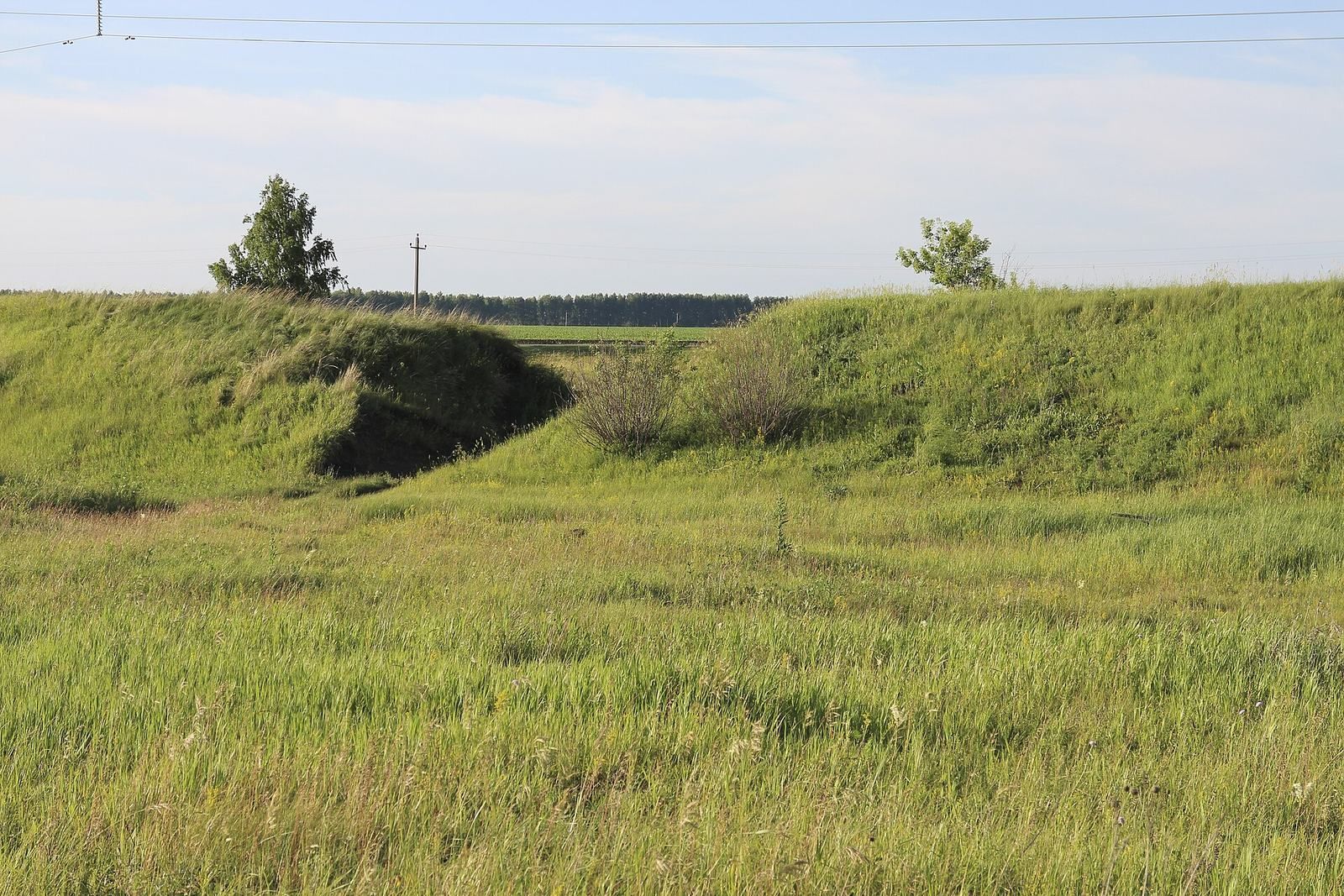
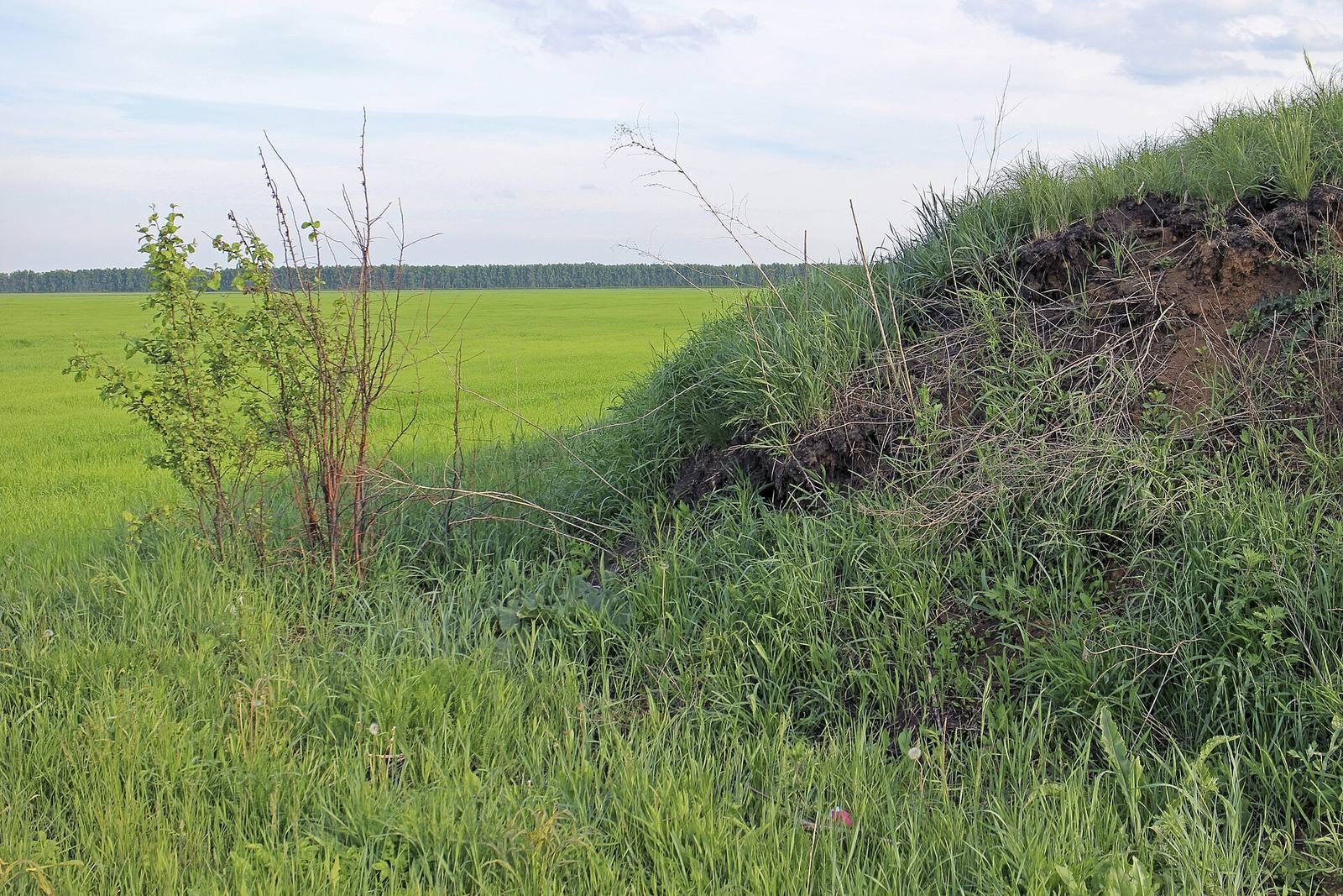
The earthwork was built with a trapezoidal profile. Its base measured about six metres across, its crest about two metres, and its height ranged from three to four metres; the slopes rose at an angle of roughly 25 to 30 degrees. A ditch about two metres wide and deep ran along the southern, outer side. A second ditch, about one metre deep, lay a short distance beyond it. Watchtowers stood at intervals of 10 versts, or about 10.7 kilometres.
Surviving stretches and landscape
Partly preserved stretches cross the modern Russian regions of Tambov, Lipetsk, Voronezh, Belgorod, and Ulyanovsk, as well as Ukraine’s Sumy Oblast. Of the 72 kilometres of the Tambov rampart, about 12 to 15 kilometres remain. The most pronounced sections lie near Nikiforovka Station and Saburovo, at the villages of Zavoronezhskoye, Chelnavo-Pokrovskoye, Kuzmino-Gat, and Devitsa, and near Tambov. One surviving stretch forms a natural boundary of Polynkovskoye Cemetery, where removing turf and soil for grave maintenance has badly damaged it.
Turf was incorporated into the rampart, and plant roots grew into underlying layers, binding them together. Surviving sections have not been ploughed, helping preserve rare endemic flowers and grasses of the Wild Field, the historical name for the sparsely settled steppe north of the Black Sea.