Suwahara Castle: A Takeda Stronghold in Japan
Site at a Glance
- Country
- Japan
- Primary era
- Early Modern
- Eras represented
- Early Modern
- Civilizations
- Takeda, Tokugawa
- Site type
- Military
- Remains
- Castle
On this page9 sections
History
Suwahara Castle is a hilltop fortress on the eastern edge of the historical province of Tōtōmi in Japan. Built in 1573 as a Takeda stronghold, it stood on the frontier with Tokugawa-controlled territory during the Sengoku period, Japan’s era of political fragmentation and recurrent warfare.
Takeda expansion into Tōtōmi
After the Imagawa domain collapsed in 1569 under pressure from the Takeda and Tokugawa, Suruga passed to the Takeda and Tōtōmi to the Tokugawa. The former allies became rivals. Takeda Shingen’s failed attack on Takatenjin Castle in 1571 was followed by his capture of Futamata Castle and victory at Mikatagahara in 1572. Shingen died in 1573, and his son Takeda Katsuyori renewed the advance into Tōtōmi, seeking to threaten the Tokugawa and secure Takatenjin. Suwahara helped guard the Takeda’s western line and maintain supplies to that castle.
The year 1573 is accepted as Suwahara’s construction date, but the builder’s identity remains uncertain. Tradition credits Takeda commander Baba Nobuharu, assisted by Takeda Nobutoyo, with building it under Katsuyori’s direction. A record of a “Kanaya Castle” built in 1569 may refer to Suwahara, although that identification is not confirmed. The castle’s name is traditionally associated with a Suwa shrine brought from Shinano Province and established within the fortress. The Suwa deities, sacred presences in Shinto belief, were regarded as protective deities of the Takeda.
Tokugawa capture and military use
The Takeda captured Takatenjin Castle in 1574. After their defeat at the Battle of Nagashino in May 1575, Tokugawa forces besieged Suwahara from around the middle of July. The garrison resisted for more than a month, but Katsuyori could not send relief. It surrendered in August and withdrew to Oyama Castle; the precise date of the Tokugawa capture is unknown.
Tokugawa Ieyasu renamed the captured fortress Makino Castle. A tradition connects the name with both Makino Yasunari, a Tokugawa officer, and King Wu of Zhou’s victory over the Shang ruler Di Xin at Muye. The same story links that victory with Matsudaira Yasuchika’s court title, Suō-no-kami, nominally associated with governorship of Suō Province. Imagawa Ujizane briefly held the position of castle lord. Ieyasu used the castle to monitor and harass the Takeda, support Tokugawa attacks into Suruga, and obstruct the Ōi River supply route to Takatenjin. It served as a Tokugawa base during the 1581 siege of Takatenjin, and the Tokugawa substantially altered it after taking control.
The Tokugawa maintained permanent guards as well as rotating assignments among the Saigō, Matsudaira, and Toda houses, in that order. Tours lasted about a month, with changes roughly every six months, and the arrangement continued until the Takeda fell in 1582. A 1576 order lists guard appointments. In 1578, moat work begun by a Matsudaira officer on August 8 was completed on August 20.
Abandonment and later history
After the Takeda clan fell in 1582, the castle’s strategic value diminished. It was abandoned in 1590, when Toyotomi Hideyoshi transferred the Tokugawa to the Kantō region. Following the Meiji Restoration, former Tokugawa retainers accompanied Tokugawa Yoshinobu to Sunpu and settled around the ruined castle.
Part of the ruins became a Shizuoka Prefectural Historic Site in 1954. The site received National Historic Site status in 1975, and its protected area was enlarged in 2002. Excavations conducted from 2009 to 2015 refined understanding of the castle’s construction phases. The findings also informed the reconstruction of a gate in 2016.
Remains
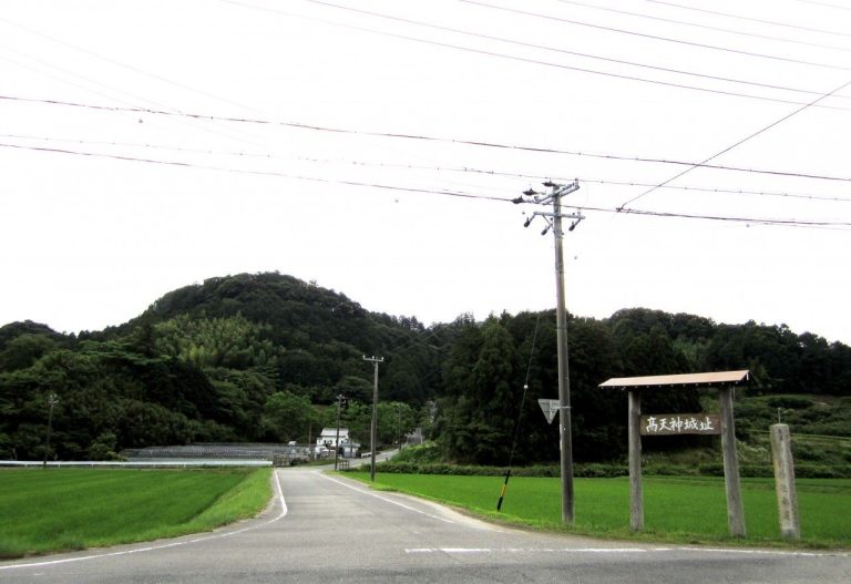
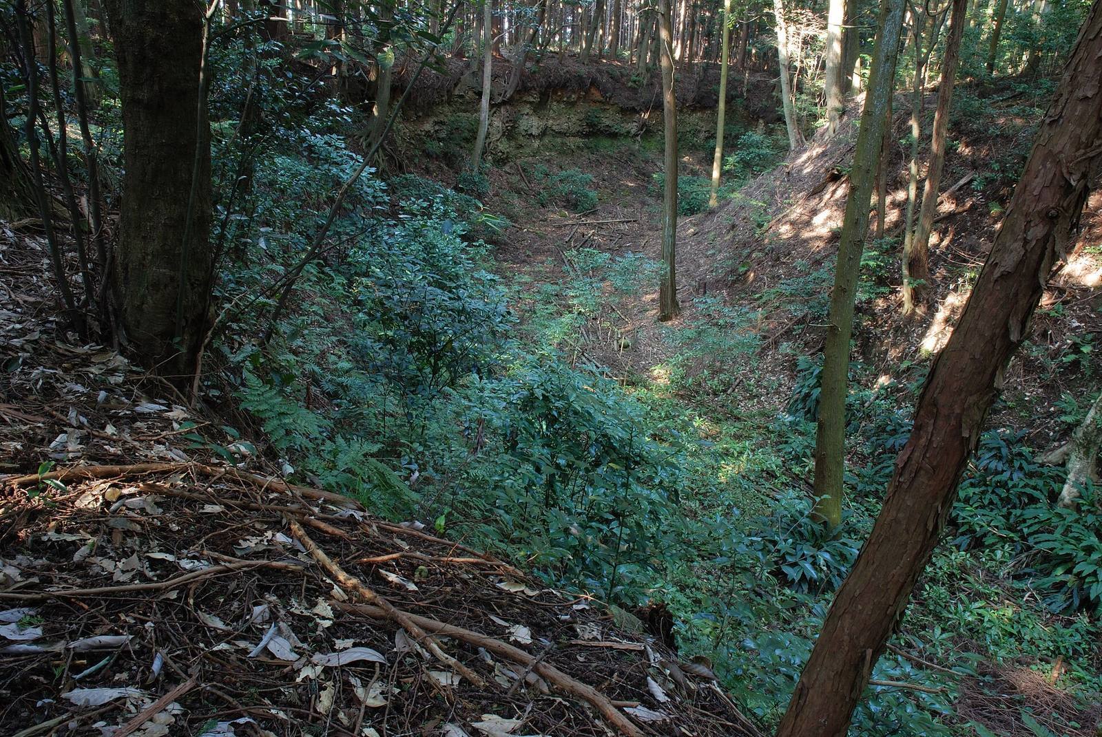
The surviving plan is an earthen hilltop complex organized around three enclosures, with ramparts, moats, projecting defensive courts, and enclosed gate approaches. Its central defenses occupy a steep-sided spur, while the wider protected area extends well beyond the compact core.
Plateau setting
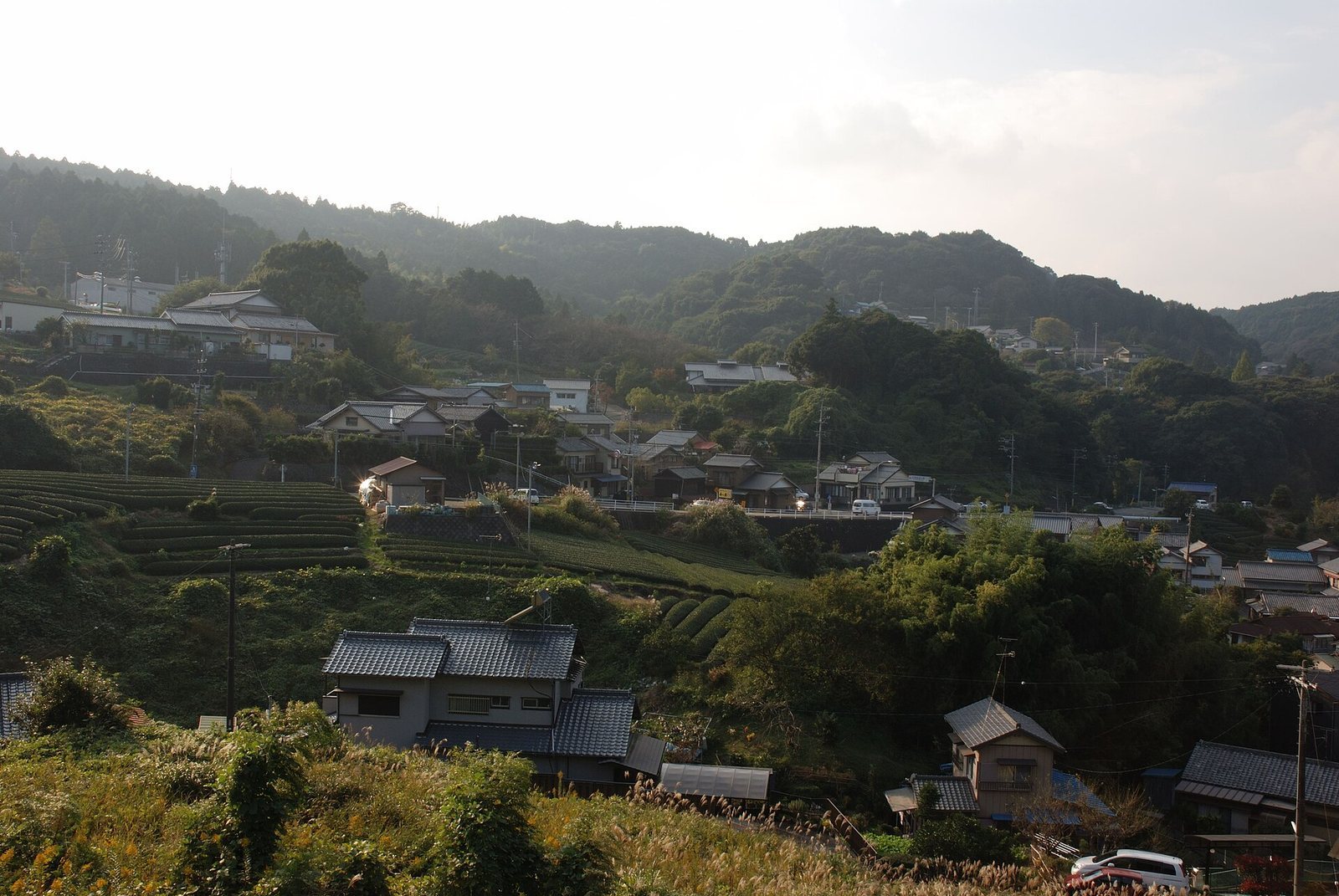
The castle stands at about 200 metres above sea level on the tip of a tongue-shaped spur at the northern end of the Makinohara Plateau. It occupies a cliff edge overlooking the place where the Ōi River crosses the Tōkaidō; when the fortress was built, the river ran closer to the cliff. The road passes just south of the castle. To the east, the Kanaya slope descends toward the river and Suruga; to the west, the Kikugawa slope leads via Sayo no Nakayama toward the Kakegawa basin. The plateau falls southward toward the lower Kikugawa plain.
Concentric baileys
A bailey is an enclosed defensive area. Suwahara’s core consists of a roughly square main bailey, about 100 metres on each side, backed against a steep cliff. The second bailey forms a ring around it and measures about 100 by 80 metres; the third, surrounding that, measures about 200 by 80 metres. Together, the described core is approximately 300 metres long and 200 metres wide.
Forward defenses and moats
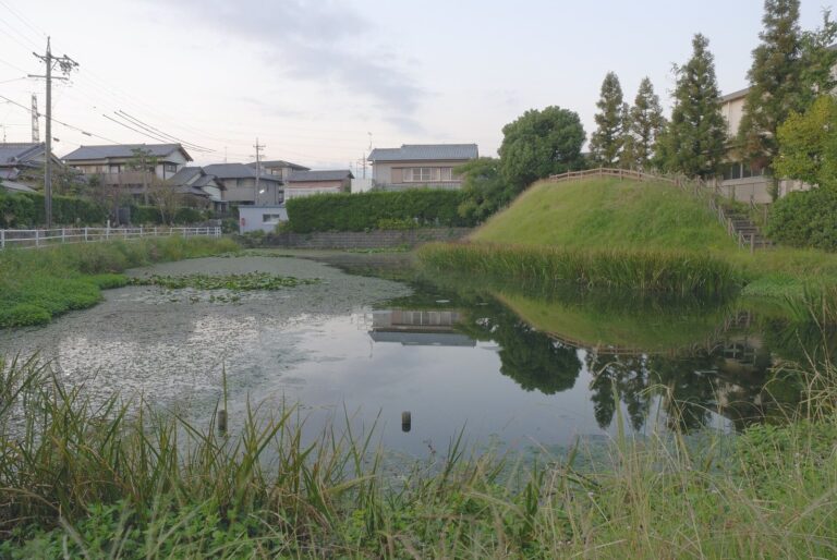
A projecting defensive enclosure called an umadashi protects approaches and can support counterattacks. Large semicircular examples are associated with the second and third baileys. Each has a rampart about 40 metres across, a dry moat, and gates at both ends, allowing defenders to protect the flanks. Excavation analysis places the second bailey and its large enclosure probably in the Tokugawa phase, while the small round enclosure at the south end belongs to the Takeda phase. Three to five round enclosures and crescent-shaped moats are identified across the site. Square gate enclosures also form part of the defenses, and a large outer moat runs toward the cliffs that bound the castle on three sides.
Gate and surviving landscape
The reconstructed gate stands at the northern enclosure of the second bailey. It is a yakuimon, a traditional four-post roofed gate, with two main posts and two smaller supports. The remains include earthen ramparts, baileys, moats, entrances, and wells. Tea fields now occupy much of the site, while its earthworks remain comparatively well preserved. The protected tract covers about 113,000 square metres and extends roughly 580 metres from north to south and 1,450 metres from east to west.