Scharfenburg: A Medieval Hilltop Castle in Ruhla
Site at a Glance
- Popularity
- Low
- Country
- Germany
- Primary era
- Medieval
- Eras represented
- Medieval, Modern
- Civilizations
- German, Holy Roman Empire, Landgraviate of Thuringia
- Site type
- Military
- Remains
- Castle
On this page12 sections
History
Scharfenburg is a hilltop castle ruin above Thal in Ruhla, Germany, with origins in the 12th century. Its round main tower is Romanesque, a medieval style of rounded arches and heavy masonry, and is interpreted as the castle’s oldest part. The Scharfenberg family expanded the castle to control the valley and the roads through it.
Origins and early holders
The earliest known written reference connected with Scharfenburg is a charter dated 13 September 1137. Hartung von Scharfenberg witnessed a grant of property to a charitable institution associated with a bridge at Frauenbreitungen. The charter dates to the rule of Landgrave Louis I, a territorial prince in the German lands. Other members of the Scharfenberg family appear as witnesses in 12th-century charters or in the service of the abbots who headed the religious institution at Fulda.
After the Thuringian War of Succession, a conflict over succession in Thuringia that began in 1247, records of the castle resume in 1248. A knight from Cobstedt served there. Hessian forces established themselves at the castle in 1260 and withdrew later; knights from Hopfgarten and Holundern then held it as retainers serving the Wettins, a dynasty that ruled territories in central Germany.
Changing control in the 14th and 15th centuries
Between 1300 and 1492, Thuringian landgraves repeatedly transferred the castle to knights and counts as a pledge or land grant. The counts of Henneberg held it from 1329 to 1362 and sought to extend their influence north of the Rennsteig, a historic ridge route along the Thuringian Forest. Castle bailiffs, officials who administered the castle and its property, often served for no more than five years, limiting the chance that lesser nobles would establish a lasting hold there.
Several owners later administered the castle jointly. A violent dispute among them in 1401 led to another siege, while exchanges and marriage dowries also changed who held the property. A noble from Laucha who lived at the castle was described as a robber baron. During the 15th century, the lords of Witzleben and Wangenheim obtained longer-term possession. The Uetterodt family held the castle from 1452 to 1837, with authority extending over all or parts of Ruhla, Thal, Weißenborn, Schmerbach, Schwarzhausen, Sondra, Sättelstädt, Deubach, and Schönau.
Damage, decline, and preservation
In 1446, Elector Frederick II of Saxony besieged Scharfenburg during the Saxon Fratricidal War, a conflict within the Wettin ruling family. As an elector, Frederick was entitled to vote in choosing the Holy Roman Empire’s king. The siege left the castle badly damaged. By 1455 it was largely regarded as a ruin and seldom inhabited. Bailiffs Berlt and Christoph von Uetterodt later built an administrative house in the valley, associated with the formation of the Scharfenburg administrative district. The last owners also established two large estates at Thal, Oberhof and Unterhof. Interest in the castle increasingly centered on its land, jurisdiction, revenues, and titles, and it gave its name to Neuscharfenberg.
In 1837, Duke Ernest I of Saxe-Gotha, a 19th-century ruler of the Ernestine Wettin line, acquired the ruin to preserve it as a cultural monument. A major restoration in 1875 adapted the derelict main tower for use as a viewing tower, and further restoration followed in 1932. From the 1970s, the tower remained closed for decades because of its risk of collapse. Restoration work resumed in 1993, and extensive masonry repairs prevented emergency demolition.
Remains
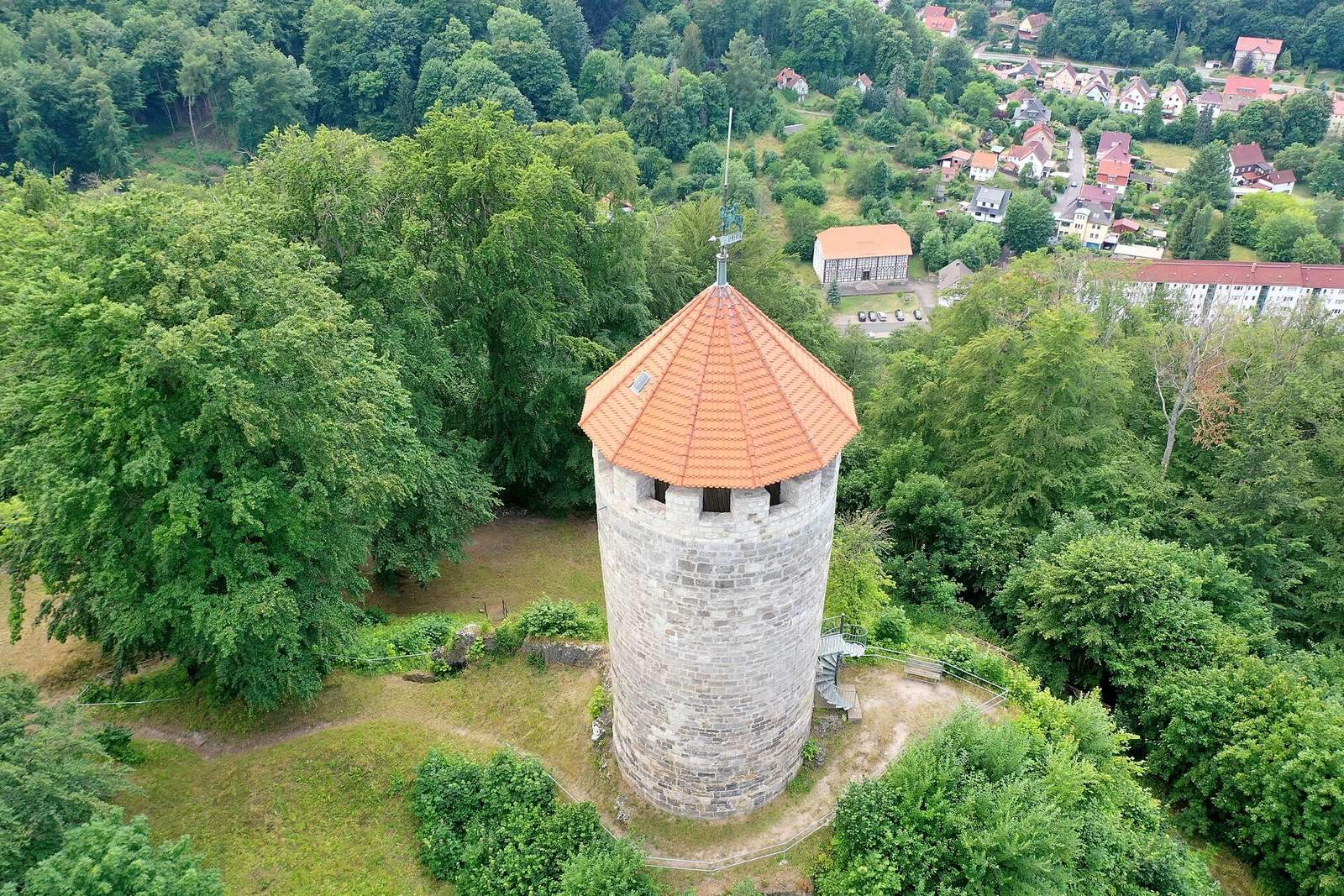
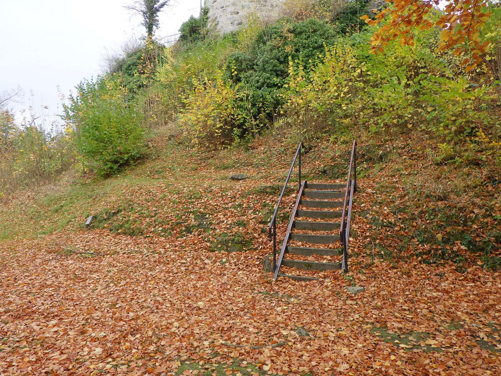
The castle occupies the summit of steep-sided, conical Scharfenberg above Thal in the Erbstrom valley. The summit is about 396 metres above sea level, roughly 75 metres above the valley floor. Two lines of walls and ditches once enclosed wards set at different levels around a central rocky plateau. The surviving ring-wall sections, attached building remains, and main tower help show the arrangement of the site.
Wards and defensive works
Walls and wards
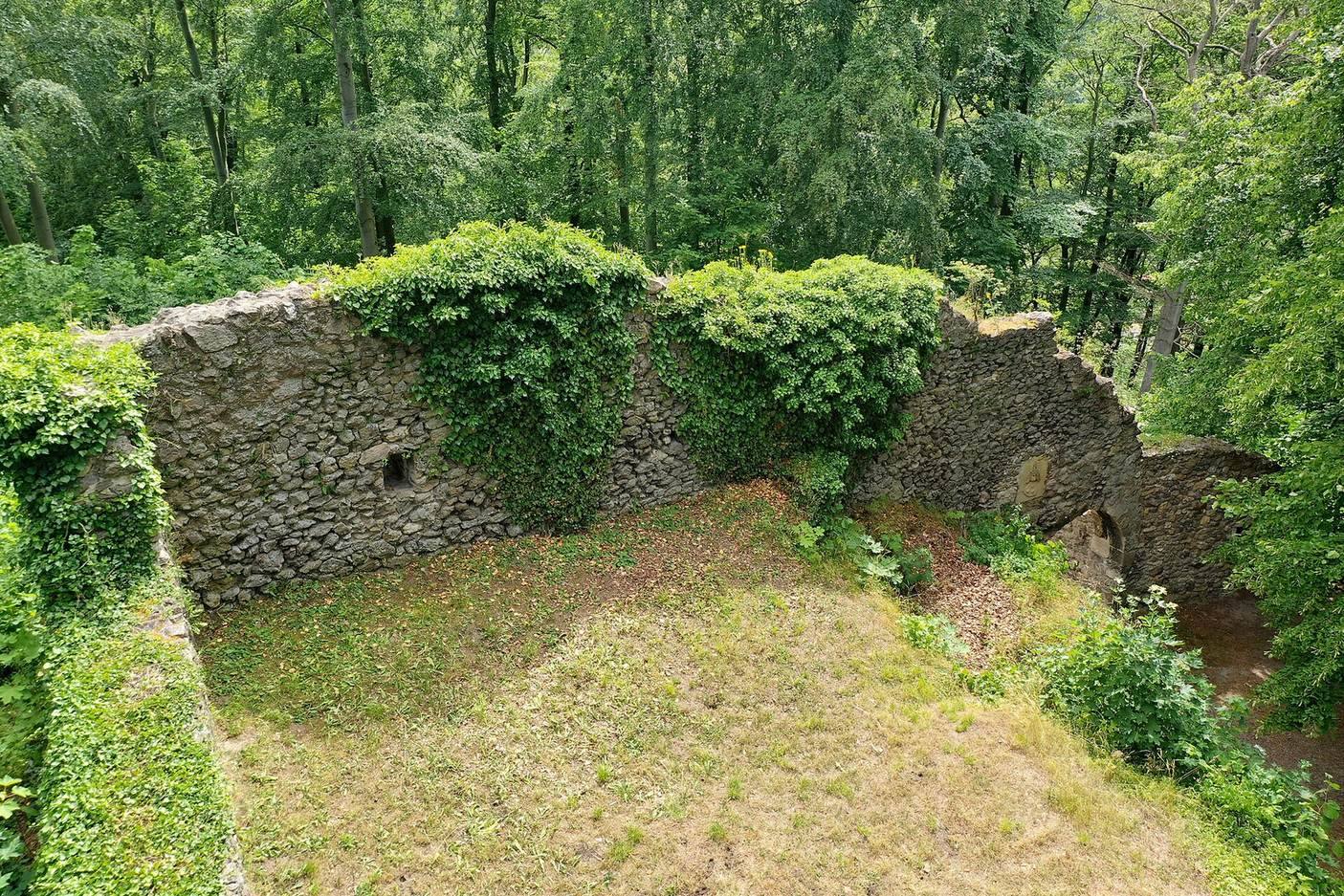
The western lower ward and eastern upper ward occupy separate levels, with the upper ward less than 10 metres higher. Sections of the ring wall and attached stone-building remains enclose the central rock, where the main tower stands. Other defensive walls and ditches remain visible to the east and north. The lower ward now retains little beyond parts of its ring wall, and the upper ward is similarly fragmentary.
Southern entrance and ditches
At the southern entrance, a sandstone arch survives. The gatehouse is identifiable by its position and extent; it has a Gothic portal bearing the Uetterodt coat of arms. The gatehouse and ring wall were built of soft, porous local rock, while sandstone was used for the portal arch. Two crescent-shaped ditches lie about 25 metres apart south of the gatehouse. The outer ditch, roughly an arrow’s flight from the castle wall, is now faintly visible as a hollow. A rise about five metres across at the end of the upper outer rampart may mark the former position of a foregate and tower beside the second ditch.
Main tower
The round tower stands on the highest point of the rock and was built from large, carefully dressed sandstone blocks brought from the surrounding area. It is 12 metres in diameter. Its walls are slightly more than two metres thick at ground-floor level and 1.88 metres thick at the uppermost floor. The tower is now about 20 metres high; its original height has been estimated at about 30 metres.
The original entrance was a small doorway on the north side, about four metres above the base of the wall. A windowless dungeon occupied the ground floor. An external steel spiral staircase now provides access. During work in 1994, the internal stairs were renewed, intermediate floors added, and a protective roof hood fitted over the viewing platform. The tower also contains a small castle museum, where selected small finds and interpretive panels about the castle’s history are displayed.
Courtyard and buildings
Lower courtyard
The spacious lower courtyard lies just inside the gate. During the castle’s heyday, storage and service buildings, including stables, stood there. They were probably timber-framed and are thought to have been renewed several times.
Upper residential area and chapel
Higher on the rock, beside the eastern wall and sheltered by the main tower, stood the residential buildings and a chapel first recorded in 1272. Only scant traces of these structures remain.