Sandleford Priory: An Augustinian Priory and Country House
Site at a Glance
- Popularity
- Medium
- Country
- United Kingdom
- Primary era
- Early Modern
- Eras represented
- Medieval, Early Modern
- Civilizations
- British, English
- Site type
- Domestic
- Remains
- Manor House
On this page11 sections
History
Sandleford Priory is a former Augustinian monastery and later country house in Greenham, near Newbury, in the United Kingdom. A foundation charter dated to about 1194 records its endowment by Geoffrey, Count of Perche, a medieval county in France, and Countess Matilda. They granted the priory a church, land at Sandleford and Bradmore wood.
The priory and early estate
The priory’s Augustinian canons were members of a religious community following the Rule of St Augustine. Its charter allowed the community to build a mill and receive an annual payment of 13 marks from the mills of Newbury. A mark was a medieval unit of account, not a coin. The charter also stipulated that, when the prior, or head of the community, died, the remaining canons would choose his successor.
After the canons abandoned the monastery, the estate passed to the Dean and Canons of Windsor, the clergy of Windsor’s collegiate church, who leased it as a farm. In September 1643, Prince Rupert of the Rhine, a Royalist commander in the English Civil War between Royalists and Parliamentarians, assembled cavalry near Sandleford’s western approach before the First Battle of Newbury.
Three generations of the Kingsmill family leased Sandleford from 1626 until about 1715 and converted it into a country house. A 21-year lease to John Kingsmill, dated 6 May 1668, covered the priory site and fishing rights for £15 2s. The Pitt family may also have held a lease in the early eighteenth century. Edward Montagu leased the estate from 1730; his 1737 lease included the priory, Sandleford farm, properties in several nearby settlements and fishing rights on the Rivers Enborne and Kennet.
Elizabeth Montagu’s estate
Elizabeth Montagu, Edward’s wife, was associated with Sandleford from 1742. A writer and patron of literature and the arts, she commissioned extensive improvements to the house and grounds, with work by architect James Wyatt and landscape designer Capability Brown. Her nephew Matthew Montagu inherited the estate in 1800.
Elizabeth ran Sandleford as a working farm. After two purchases, she described it as covering 600 acres. In 1782, work in the woods, groves and fields employed 20 men, including weavers who had lost work as Newbury’s manufacturing declined. By 1791, she was providing food and clothing for workers, including people with disabilities, and adapting tasks to their abilities. Visitors came to see her improvements by 1786.
Later ownership and use
William Chatteris took a lease of Sandleford in 1835. In 1867, the Dean and Canons of Windsor transferred their lands to the Ecclesiastical Commissioners. Chatteris bought the estate’s freehold, meaning ownership rather than a lease, from the commissioners in 1875.
Lady Mary Holt sold the priory’s furniture and outdoor effects in 1947, and the house appears to have passed from her around that time. St Gabriel’s School opened there in 1948 and was associated with the Congregation of Our Lady of Charity of the Good Shepherd. The house is listed at Grade I, the highest level in England’s statutory listing system for buildings; 54 acres of parkland are listed at Grade II.
Remains
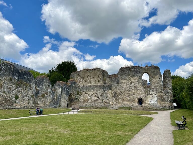
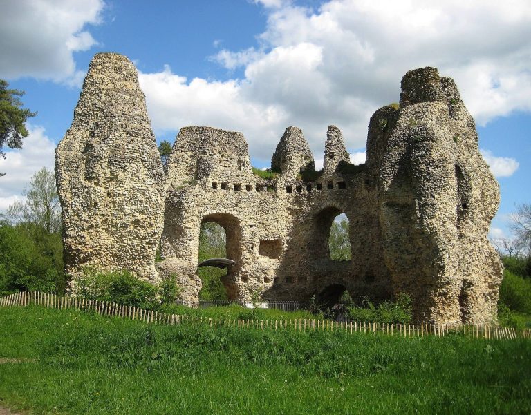
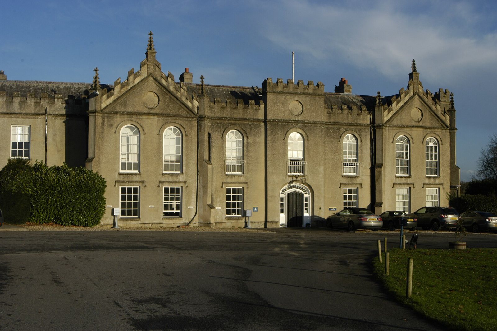
The site brings together a largely eighteenth-century country house built around former priory buildings, including the monastery’s chapel, and an estate landscape of farmland, woodland, paths and water features. The house stands high above steep, wooded slopes facing south.
House and former priory buildings
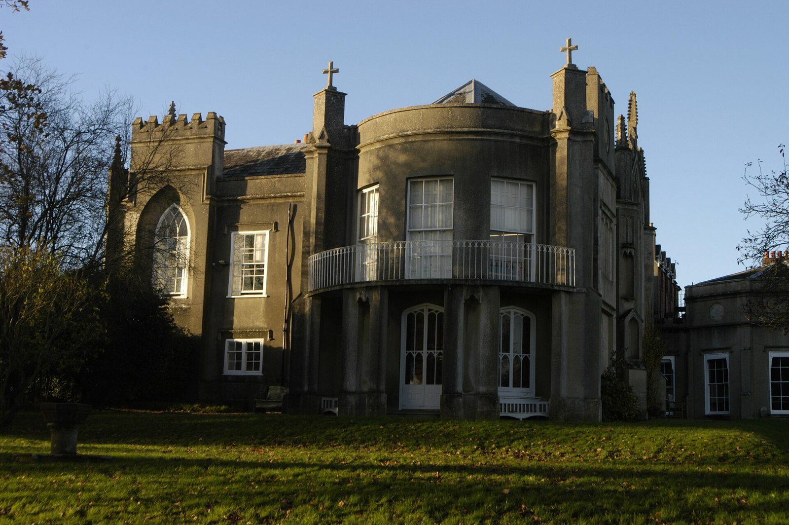
James Wyatt erected most of the present house between 1780 and 1786 for Elizabeth Montagu. One wing included an upstairs dressing room with a large curved window bay and a spacious balcony enclosed by iron railings. The balcony faced the Hampshire hills across varied countryside. The dressing room adjoined a bedroom and opened onto a passage, while the former priory chapel survives as part of the house.
Grounds and estate landscape
Farm and designed grounds
The grounds combined working and recreational areas, including a dairy, farmyard and large barn, a rick yard for storing hay or straw in stacks, and a green yard in front of the house. They also contained a wilderness walk and bowling green. A winding carriage road ran for a mile through the plantations, with benches beneath trees and sheltered hedges along the grounds.
Streams, ponds and woodland
A stream that had once been little more than a ditch was channelled through the grounds, with plans to extend it further. A watercourse running south from Crook’s Copse passed between High Wood and Slockett’s Copse, then turned towards the River Enborne after joining a smaller stream. It supplied Brown’s Pond, designed by and named after Capability Brown. Woodhouse Pond was derelict. The landscape also included water meadows and coppice woodland, cut periodically to encourage regrowth.
Surveyed land and boundaries
A 1781 survey by John Spyers, who worked for Brown, measured the estate at 619 acres, 2 roods (quarter-acre units) and 17 square perches (each one-fortieth of a rood). It is uncertain whether the survey depicts the estate as it then existed or proposed changes. It recorded 87 acres of coppices, including Waterleaze and Broadmoor, High Wood, Upper and Lower Moor, Dirty Ground, Orchard House, Wilson’s, Parting Ground, Furze Close and Hassocks above Hall’s Mead. Upper and Lower Moor were later associated with Gorse Covert, Orchard House with Slockett’s Copse, Wilson’s with Barn Copse, and Parting Ground with Crook’s Copse. The survey also noted 60 acres of meadowland, including water meadows, and areas of arable land.
The parish covered about 500 acres, much of it farmland and woodland west of the priory. The River Enborne bounded it to the south and Monks Lane to the north, while roads and hedgelines marked other parts of its boundary. From the south, the parkland extended across wooded slopes below the priory.
Planting and later changes
William Chatteris planted azaleas and rhododendrons near the priory, where they were visible by about 1906. Trees and shrubs along the western track included field maple, oak, ash, hazel, ivy, elm, elder, hawthorn and blackthorn. A 1871 map shows a landscape that may have been embellished by Brown, especially around ponds near Broadmoor and Waterleaze woods. Comparison with a 1761 map suggests that woodland edges and hedgelines may have been adjusted in the late eighteenth century to open up the landscape. A later map points to further possible pond changes, but its connection to a possibly lost plan by Brown is uncertain.
The estate’s older layout was severely disrupted by the west-to-east A339. Around 1942, construction of the airport severed two former north-to-south roads across Greenham Common, prompting the A339 to be rerouted along the River Enborne.