Rehovot-in-the-Negev: A Nabataean and Byzantine City
Site at a Glance
- Popularity
- Medium
- Country
- Israel
- Primary era
- Medieval
- Eras represented
- Classical, Medieval
- Civilizations
- Byzantine, Nabataean
- Site type
- City
On this page9 sections
History
Nabataean Foundation and Byzantine Growth
Rehovot-in-the-Negev is an ancient settlement in Israel’s central Negev, probably founded by the Nabataeans, an ancient Arab people associated with trade across the southern Levant, in the first century CE. It later flourished under Byzantine rule, the era of the Eastern Roman Empire. By the fifth century, the city had more than 10,000 inhabitants and was the Negev’s second-largest town by population. Its position on an incense-trade route, which carried incense and other goods between Haluza, Nitzana, and Sinai, contributed to its growth. Archaeological remains reflect Nabataean, Roman, and Byzantine periods.
The site was historically known by its Arabic name, Khirbet Ruheibeh, and is now called Rehovot ba-Negev in Hebrew.
Abandonment and Rediscovery
Earthquakes repeatedly affected the town. A major earthquake in the seventh century, which also destroyed Avdat, led to Rehovot-in-the-Negev’s abandonment.
In 1838, American scholar and explorer Edward Robinson became the first modern Western scholar to visit the site. Excavations led by Israeli archaeologist Yoram Tsafrir, in collaboration with the Hebrew University of Jerusalem and the Israel Exploration Society, took place from 1975 to 1979, with a final season in 1986. A late-nineteenth-century entry in Easton’s Bible Dictionary tentatively identified the site with the well named Rehoboth in the biblical story of Isaac at Gerar. The site’s archaeological record begins in the Roman period, so it does not support that identification.
Remains
Urban Layout
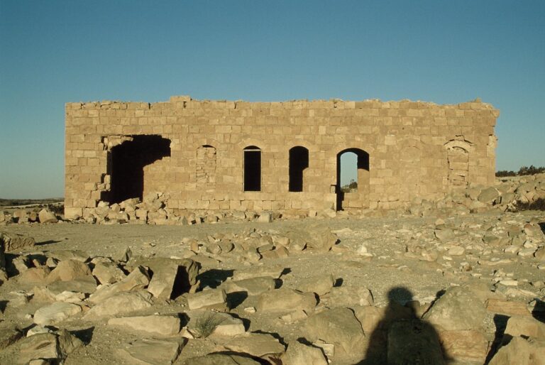
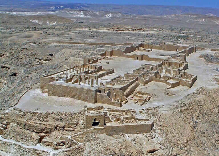
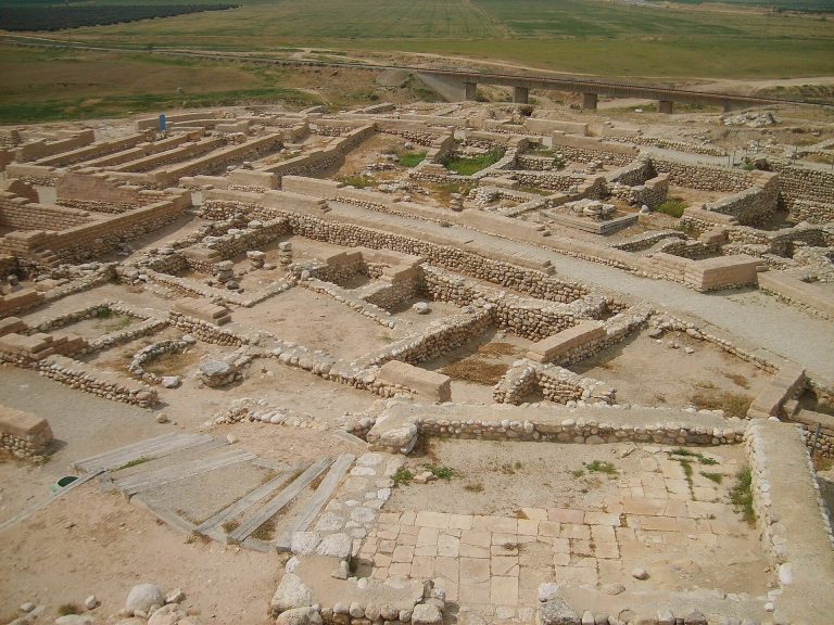
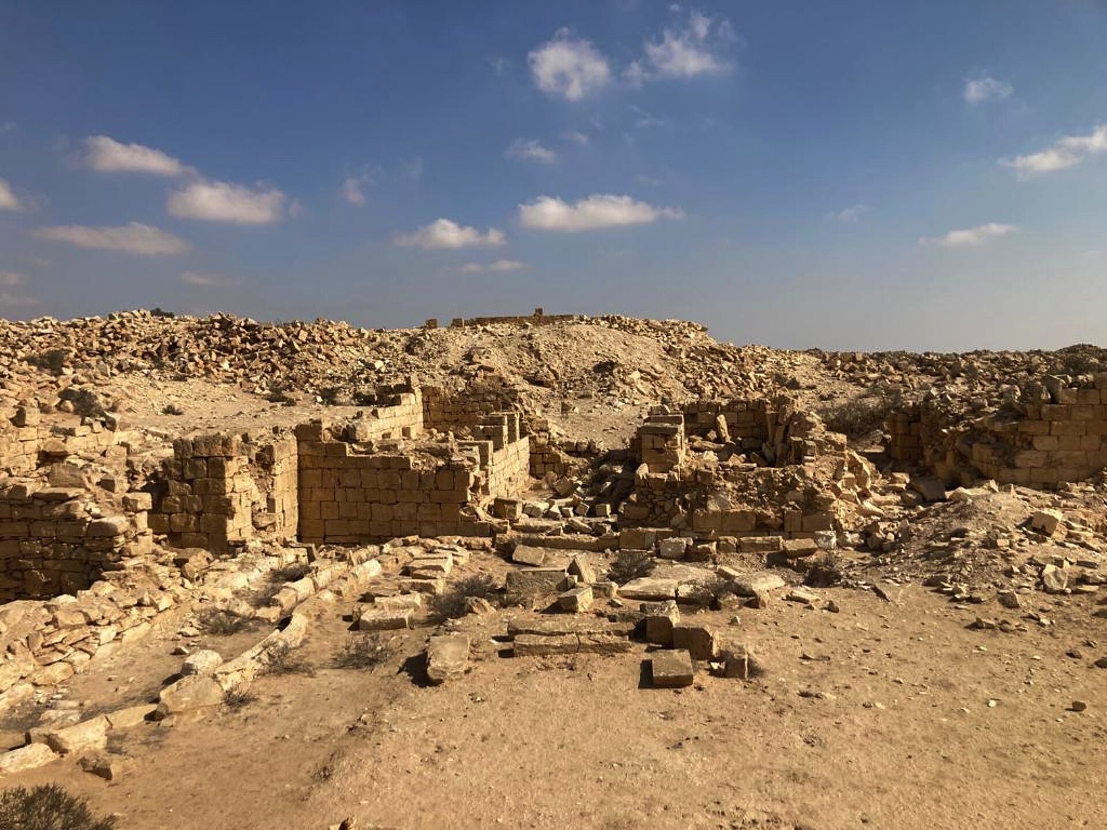
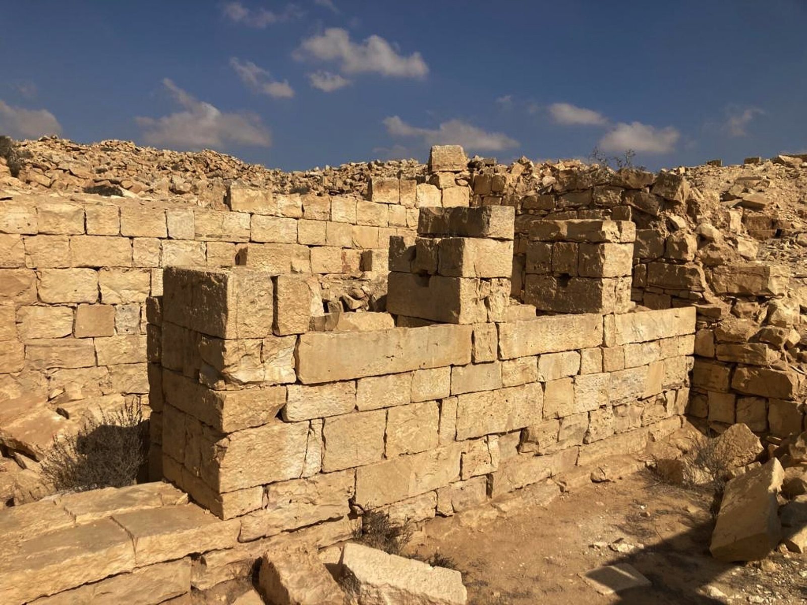
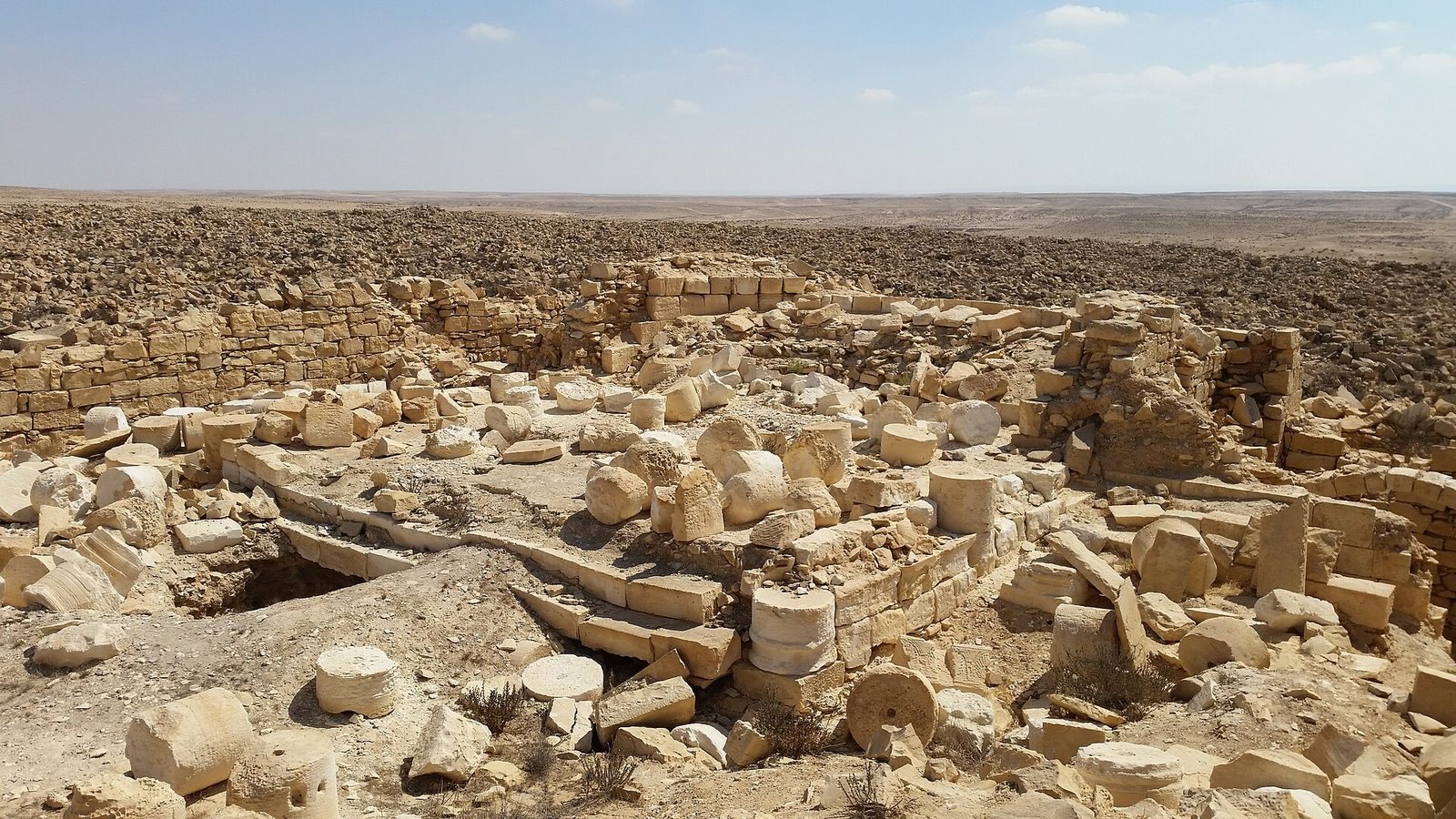
The ruins cover about 120 dunams, approximately 30 acres, in the Wadi er-Ruheibeh area near Nahal Shunera, the Shunera sands, and Mount Keren. By area, Rehovot-in-the-Negev was the Negev’s second-largest Byzantine-period city, after Elusa. Excavations revealed irregular streets rather than the regular Roman grid previously inferred from aerial views. Buildings stood close together but had spacious interiors, with roofs formed from stone beams resting on arches.
Churches
Central Church
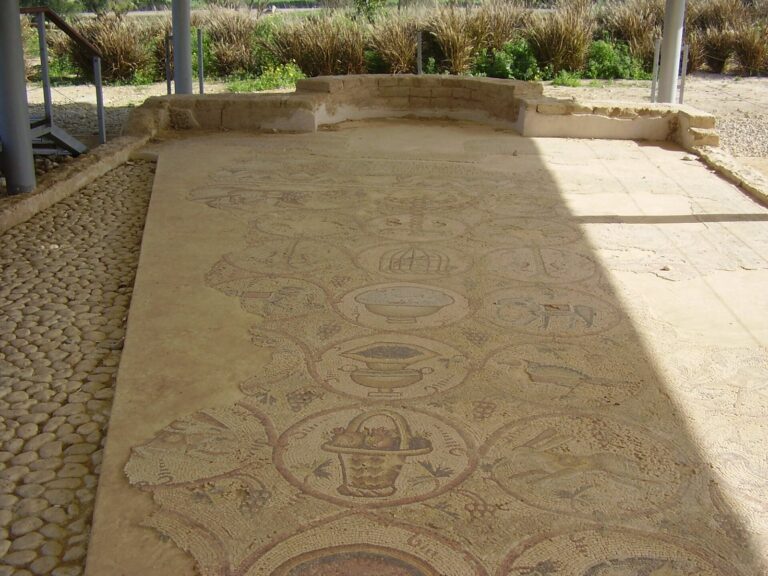
The central church is a longitudinal basilica with one apse, built in two phases. Its later phase dates to the mid-sixth century. Marble paved the central hall and sanctuary, where a tiered bench for clergy survives at the curved end. The rooms flanking the church had arched ceilings. Marble screen panels and an altar with evidence of a canopy were also found.
North Church
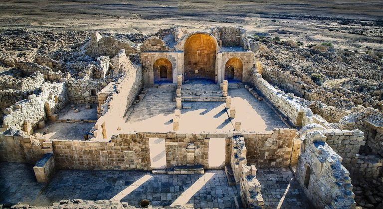
Built in the fifth century outside the main residential area, the North Church is a longitudinal basilica with three apses. It may have formed part of a monastery complex. A large crypt beneath the sanctuary was designed so that processions could continue uninterrupted, in a manner comparable to pilgrimage churches in Bethlehem and Sinai. Burials at the church continued into the mid-sixth century.
Greek dedicatory and funerary inscriptions were found in the church, some still in their original positions. The earliest funerary inscription dates to 488 CE, using year 383 of the local dating system associated with the Roman province of Arabia; the latest dates to 555 CE.
Eastern and Southern Churches
The eastern and southern churches stood at the corresponding edges of the town.