Pukara de La Compañia: An Indigenous and Inca Fortress in Chile
Site at a Glance
- Rating
- 5
- Popularity
- Very Low
- Country
- Chile
- Primary era
- Medieval
- Eras represented
- Medieval, Early Modern
- Civilizations
- Inca
- Site type
- Military
- Remains
- Fort
On this page13 sections
History
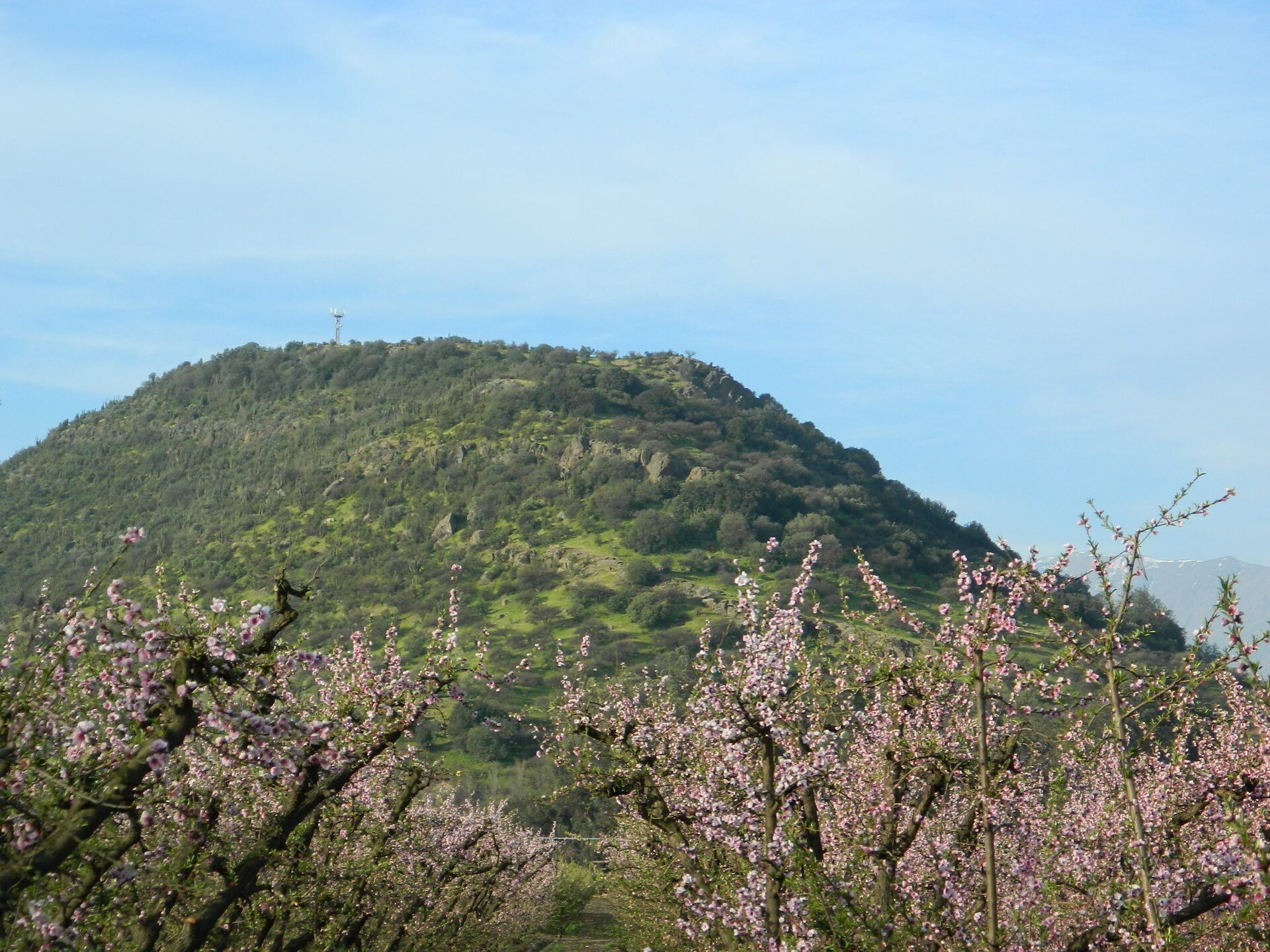
Pukara de La Compañia is a former Indigenous fortress on Cerro Grande de La Compañia in Graneros, O’Higgins, Chile. Built by the local Promaucae population, it was occupied from around AD 1310 and later expanded as an Inca garrison and regional supply center. The fortress stood within the central Chilean valley near Rancagua, where its position connected military control, storage, and long-distance movement.
Promaucae occupation
The earliest known occupation began around AD 1310, although settlement may have started earlier. This first phase continued until approximately AD 1450. The Promaucae, Indigenous populations of central Chile who resisted Inca expansion, used the hilltop in opposition to the advancing Inca state. The name Promaucae comes from a Quechua expression meaning “uncivilized people” or “barbarians,” a description applied from the Inca perspective.
Inca incorporation
The Inca annexed the region to Kollasuyu, the southern administrative division of the Inca Empire, and occupied and enlarged the fortress. Ceramic evidence places the Inca-related construction and occupation broadly between around AD 1430 and 1530. Pukara de La Compañia became part of the imperial infrastructure of central Chile, while the southern frontier of the empire lay no more than about 200 kilometres away.
The fortress also stood on the Qhapaq Ñan, the Inca Empire’s interconnected long-distance road system. It was linked to routes running north toward Cuzco and to an older passage between the eastern Andean highlands and the western coast. Its position therefore served both local defense and the movement of people and supplies through the valley.
Resistance to the Spanish conquest
The local population used the fortress again during resistance to the Spanish conquest. Under the leadership of the Indigenous chief Cachapoal, the Promaucaes initially opposed Diego de Almagro, the Spanish conquistador involved in the early expedition into Chile, in 1535. They also resisted Pedro de Valdivia from 1541, when Valdivia led the later campaign to establish Spanish control in the region.
Spanish forces captured the fortress in 1541–1542, but the occupation did not immediately secure control over the surrounding population. Warfare continued for several years before Spanish rule was imposed. The site subsequently lost its military importance and passed first to the Dominican Order and later to the Jesuit Order. Its colonial name, Cerro Grande de La Compañia, reflects the later Jesuit association. During the earlier Dominican period, Spanish usage also called the hill Cerro del Ynga, or “Mountain of the Inca.”
Rediscovery and modern damage
Knowledge that an important fortress existed near Rancagua survived in Chilean scholarship, but the precise location was eventually lost. Topographical clues in documents from the Santo Domingo convent in Santiago led archaeologists to relocate and investigate the site in 1987 and 1988.
Chile declared Pukara de La Compañia a Historic Monument in 1992 through Decree No. 119. The fortress is regarded as one of the southernmost surviving Inca constructions and as an important landmark associated with the Chilean Inca Trail. In 1997, construction of a cellular-telephone antenna cut an access road and involved earthmoving on the summit. This work damaged or destroyed some structures and removed approximately four metres of a defensive wall, causing localized harm to the surviving remains.
Remains
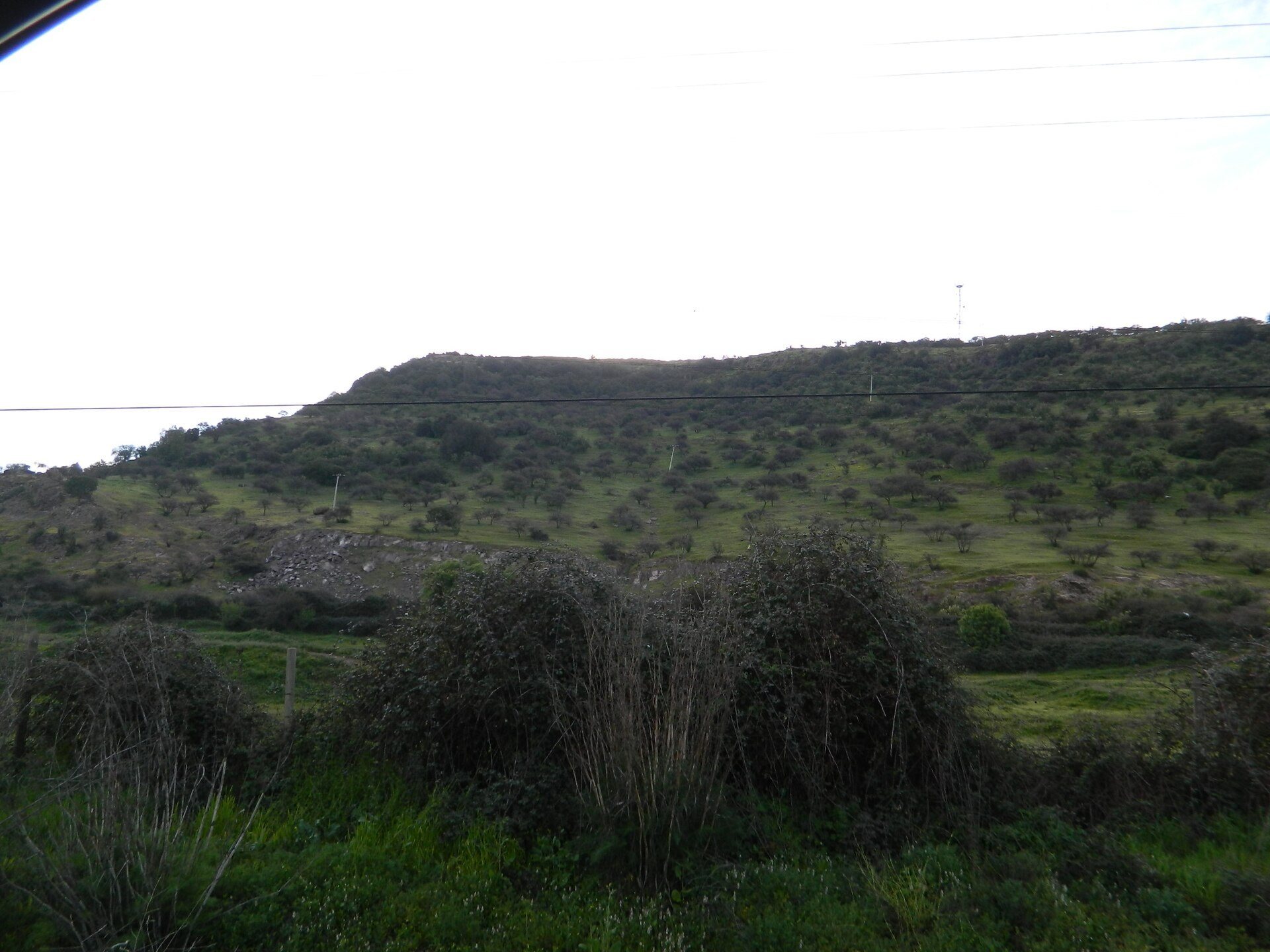
The fortress occupies Cerro Grande de La Compañia, an isolated hill rising to about 677 metres above the Cachapoal plain. The site covers approximately 60 hectares and includes natural rock terraces, a steep northern slope, and a broad view across the valley. From the hill, the strategic landscape extends north toward the Angostura de Paine and Chada Pass, south toward the Angostura de Rigolemo, and across the valley between the Andes and the Coastal Range. Surrounding marshes and wetlands have since been largely drained.
Defensive circuits
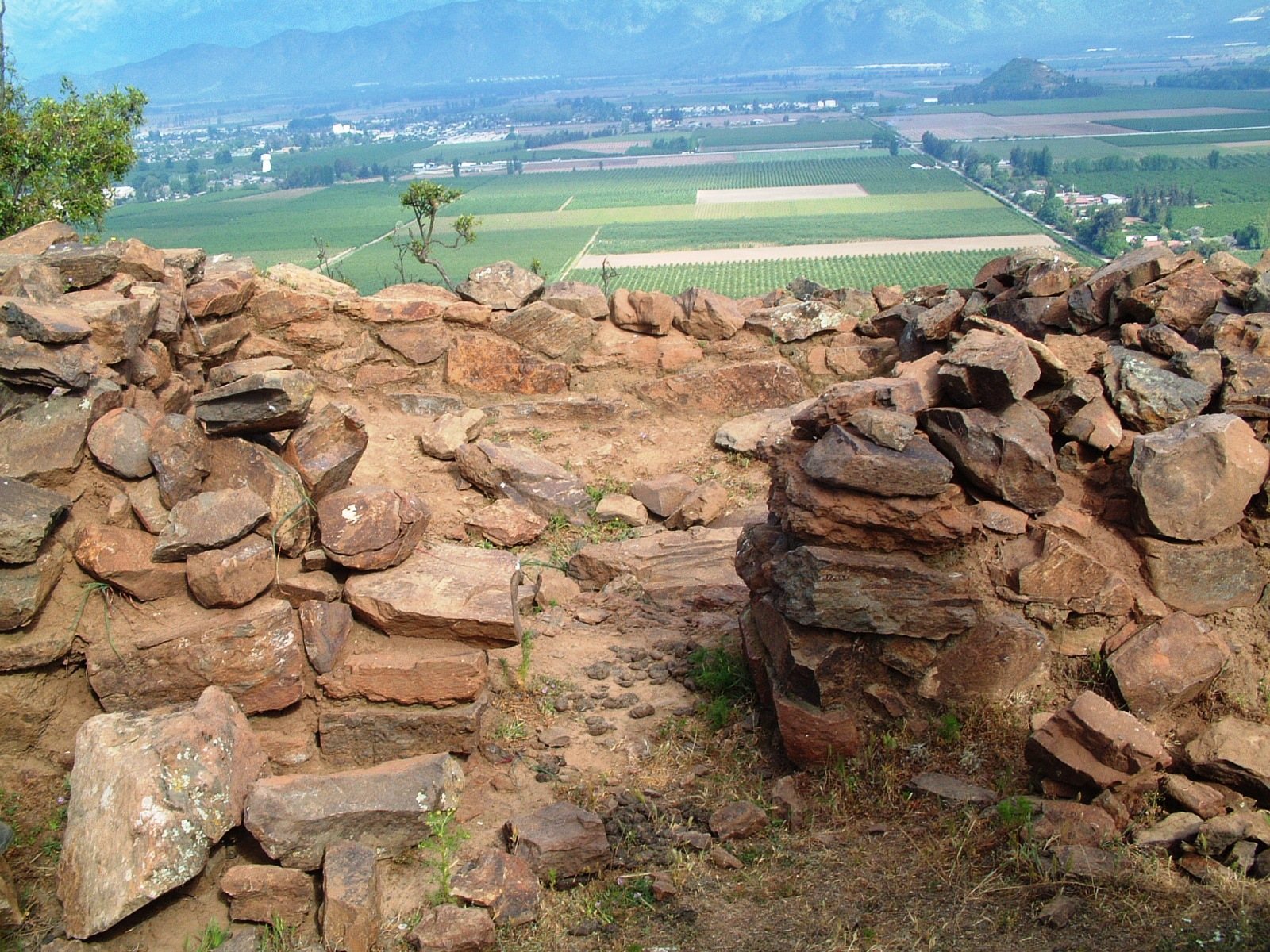
Three stone-wall circuits occupy different levels of the hill. They follow the more accessible eastern, southern, and western sides, while the steep northern and western slopes also contributed to the fortress’s defenses. The walls survive as ruins built mainly from roughly broken stone, and their surviving courses show how the natural form of the hill was incorporated into the defensive layout.
Upper circuit
The upper circuit lies at about 672 metres and encloses the summit plateau along its eastern and southern sides for approximately 120 metres. It also partly served as a retaining wall. When recorded, it stood about 50 to 60 centimetres high and consisted of four stone courses, with clay reinforcement in the lower half. A southern entrance measures about 3.30 metres across. The northern and western slopes were steep enough that walls were not required along those sides.
Middle circuit
The middle circuit lies between approximately 625 and 650 metres. It forms a U-shaped enclosure around the east, south, and west sides of the summit. Two walls, measuring about 440 metres and 452 metres in length, are separated by a gap of approximately 15 metres. Together they created a broad defensive boundary below the summit enclosure.
Lower circuit
The lower circuit follows a roughly parallel course at approximately 610 to 615 metres. It survives in two walls with a combined length of about 666 metres. Its position created an additional defensive line around the lower part of the hill, extending across the same principal sides as the middle circuit.
Summit buildings and installations
The summit plateau contains eleven freestanding buildings used for residential and defensive purposes. Their forms reflect an Inca provincial building tradition. Earlier local residential structures are described as circular, while the Inca additions included rectangular buildings, revealing a material difference between the pre-Inca and imperial phases of occupation.
Assembly plaza and storage buildings
Within the upper wall circuit, the Inca arranged a meeting or assembly plaza. They also built round food-storage installations known as collcas, which served the state’s needs for storing food and other supplies. These features place administrative and provisioning activities alongside the fortress’s defensive function.
Circular structures and larger buildings
The surviving remains include the bases of seven circular structures, a larger building, and additional nearby buildings that may have served as observation posts. The structures are preserved in a fragmentary state among the summit ruins. The 1997 road and earthworks caused localized destruction to some of these summit buildings as well as to parts of the defensive system.