Puig de sa Morisca Archaeological Park: A Prehistoric Fortified Settlement in Mallorca
Site at a Glance
- Popularity
- Medium
- Country
- Spain
- Primary era
- Iron Age
- Eras represented
- Bronze Age, Iron Age, Classical
- Civilizations
- Unclassified
- Site type
- Military
- Remains
- Fortified Town
On this page19 sections
History
Puig de sa Morisca Archaeological Park is an archaeological landscape on Mallorca, Spain, centered on a fortified settlement shaped by the Talayotic culture, a prehistoric Balearic culture known for its stone towers, or talayots. The settlement probably took shape around 800 BC, while its defenses developed from the Late Bronze Age onward. Its position linked it to coastal strongholds intended to help secure navigation around Mallorca.
Prehistoric settlement and Punic trade
Human activity on the summit reaches back to the second millennium BC. Fortification began in the Late Bronze Age and continued during the Talayotic period. Watchtowers were built in the sixth century BC, and from about 500 BC further towers and stretches of wall strengthened the defenses.
The settlement formed part of a network of fortified coastal sites. Trade with Punic merchants, members of the Carthaginian culture that developed from Phoenician settlements in the western Mediterranean, grew before the fourth century BC, particularly through links with Ibiza. Santa Ponça offered a favorable harbor. Prosperity ended as Carthage gained control of trade. During the third century BC, some residents also left to fight in the Punic Wars, a series of conflicts between Rome and Carthage.
By about the third century BC, the defensive structures had been abandoned and the settlement had lost its original purpose. Analysis of animal and plant remains indicates that livestock raising accounted for an estimated three-quarters of subsistence activity. Goats and sheep were the main livestock, alongside pigs and cattle. Wild cereal seeds were also recovered, while cultivation appears to have been less productive.
Roman and medieval occupation
After the Roman conquest around 123 BC, Puig de sa Morisca was abandoned and activity shifted to the Roman villa, a rural estate often centered on agricultural production, at Mesquida. Muslims later reoccupied the hill and altered some of its structures. The last settlement phase is associated with Almohad rule in the early thirteenth century. The Almohads were a Muslim dynasty that ruled parts of North Africa and the Iberian Peninsula.
During the conquest of Mallorca in 1229, troops of James I of Aragon, also known as Jaume I, may have occupied the summit as an initial military objective because of its commanding position. The conquest ended the settlement and destroyed it. Sporadic agriculture continued in the area into the twentieth century.
The park project began to take shape in 1996 after excavations at Puig de sa Morisca. By 1997, the Council of Mallorca, Calvià Town Council, and the University of the Balearic Islands were planning a park combining archaeology, nature, and landscape; the municipality also aimed to develop cultural tourism. The principal site was adapted as an archaeological park in 2002, the wider project was approved in 2004, and its initial public area opened in May 2006. Development continued in stages, including the opening of a museum in 2020. Puig de sa Morisca is designated an Asset of Cultural Interest.
Remains
Puig de sa Morisca settlement
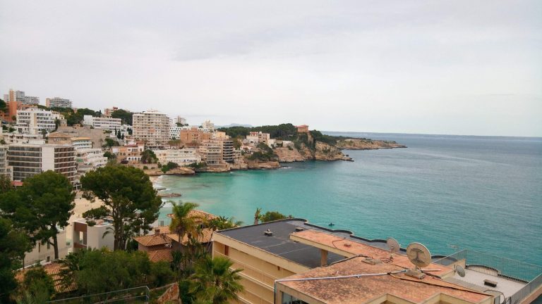
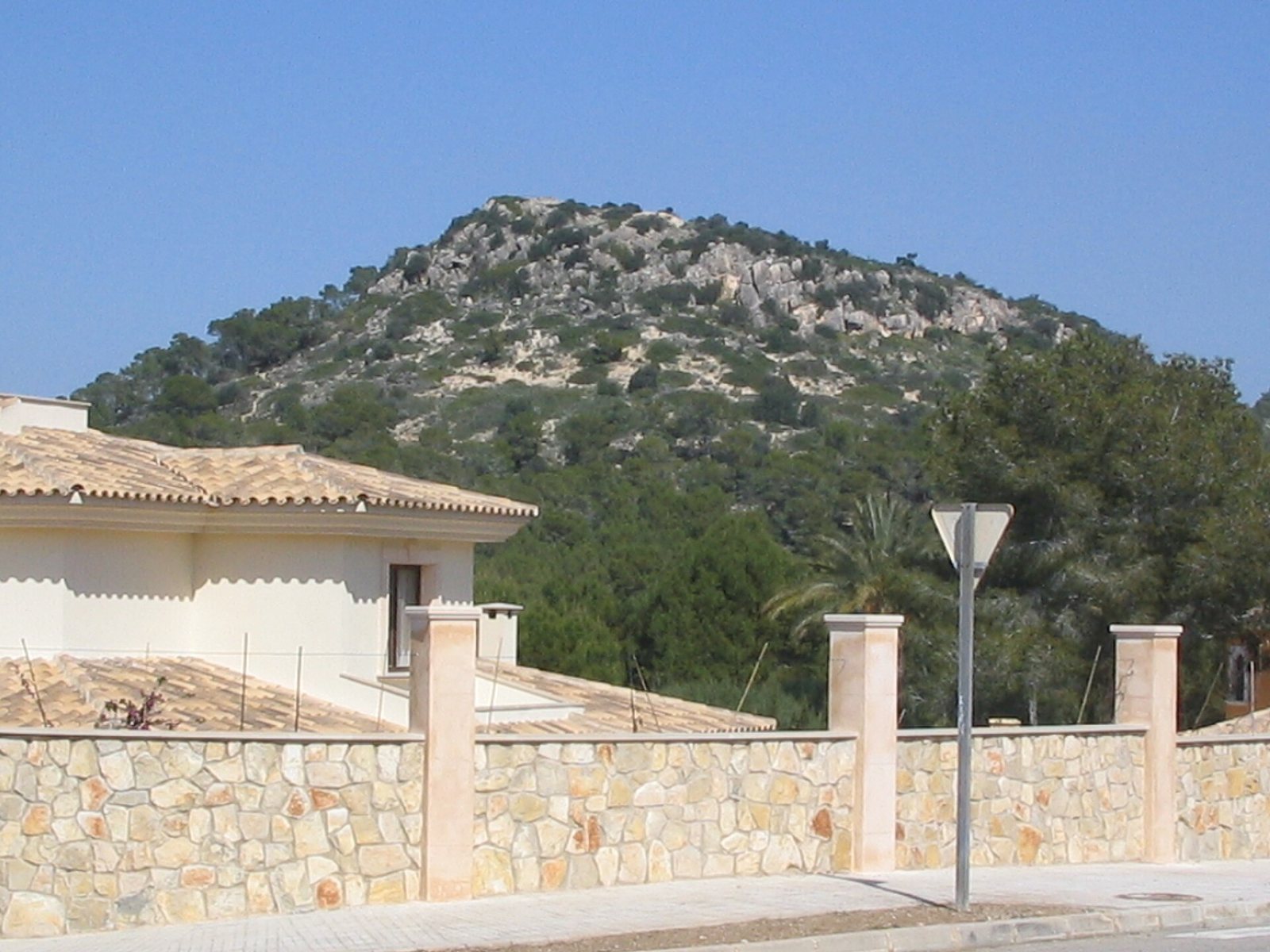
The park covers about 45 hectares, of which 35 are publicly owned. Its central settlement occupies a hill about 119 to 120 metres high, with archaeological remains across the summit and lower slopes. The settlement area covers roughly 2,700 square metres, and the hill has broad views over Santa Ponça, its bay, and the surrounding landscape.
Summit defenses
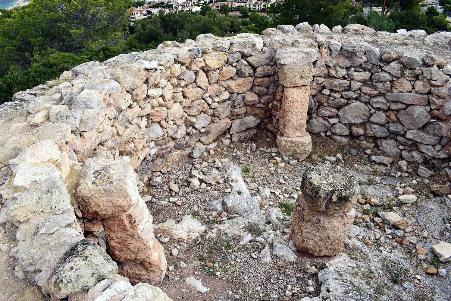
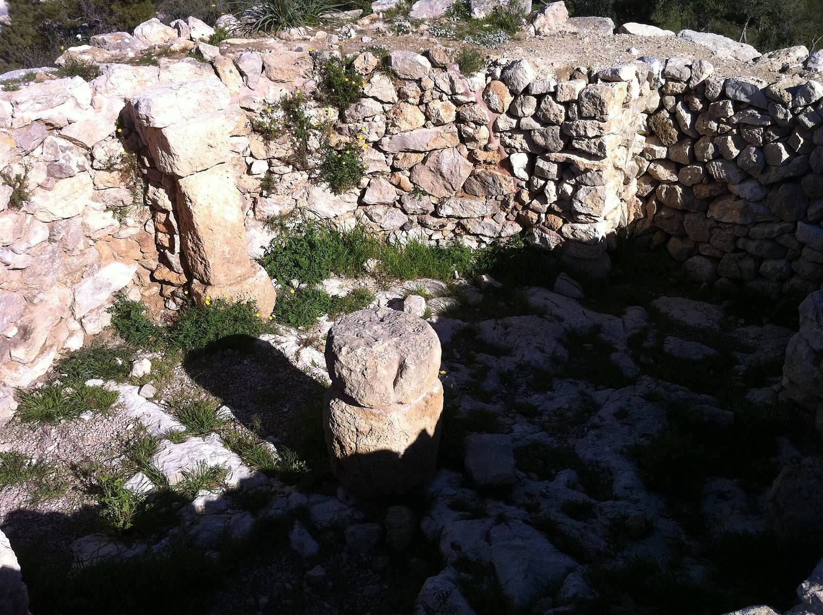
Discontinuous walls shield the more vulnerable approaches to the summit. Four towers were built during the settlement’s development, and three tower structures occupy northern and southern parts of the summit. At its center stands a circular talayot about nine metres in diameter. Its restored foundations are visible, although a later wall partly covers the original structure. Another irregularly built tower and a wall made from very large stones also survive. Further structures have been located but remain unexcavated.
Lower settlement
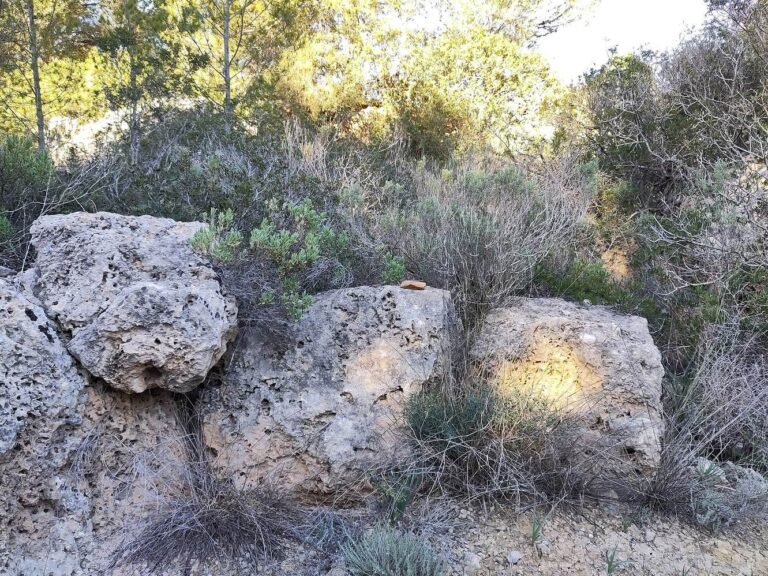
The lower settlement lies between two rocky shelters incorporated into its outer defenses. Remains of access gates and badly deteriorated rooms survive within a further enclosure made from very large stones, generally laid with little or no mortar.
Objects and pottery
A small metal shield bearing a heraldic design was found in 2008 in a thirteenth-century context alongside remains of Muslim occupation. It is thought to be associated with the Togores knights. Pottery from several cultural phases has also been recovered across the settlement, including ceramics linked to its Islamic occupation.
Other archaeological sites
The archaeological area includes several settlements, ritual sites, and stone structures beyond the central hill. Fornets and Son Miralles are on private land. The park’s broader archaeological scope also encompasses locations outside its boundary.
Turó de les Abelles
Turó de les Abelles stands on a slight rise formerly surrounded by salt marshes. This post-Talayotic settlement belongs to a later phase of Talayotic culture. It served as a coastal post for managing and distributing trade with the Punic world and was active between the third and first centuries BC.
Fornets sanctuary
The post-Talayotic sanctuary at Fornets lies about one kilometre from the fortified settlement. Its structures are clearly discernible, although the site has not been excavated.
Son Miralles
A solitary talayot at Son Miralles measures about ten metres across and stands roughly two metres high. Its entrance retains a stone lintel, and remains of a central column survive inside. Nearby are an unexcavated stepped tower of Talayotic date and a tumulus, a mound raised over a burial.
Santa Ponça 5 and Santa Ponça 20
These two unexcavated complexes lie east of the fortified settlement. Their surviving structures are built from very large stones, and their functions remain undetermined.
Naveta Alemany
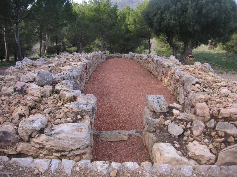
Outside the park boundary, Naveta Alemany is a prehistoric naveta, a boat-shaped stone building of a type found in the Balearic Islands, dated to about 1800–1500 BC. It was excavated in the 1960s and again in the late 1990s, then restored between 2010 and 2012.
Son Ferrer
At Son Ferrer, a Talayotic stepped tower is associated with a prehistoric hypogeum, an underground burial chamber. The site also includes an unexcavated Early Bronze Age settlement of naviform structures, which are boat-shaped prehistoric stone buildings, and a burial cave about six metres long.
Mesquida
The Roman villa at Mesquida is another associated archaeological site beyond the park boundary. It was discovered during an emergency excavation prompted by supermarket construction.
Rural structures and landscape
Farm buildings and charcoal pits
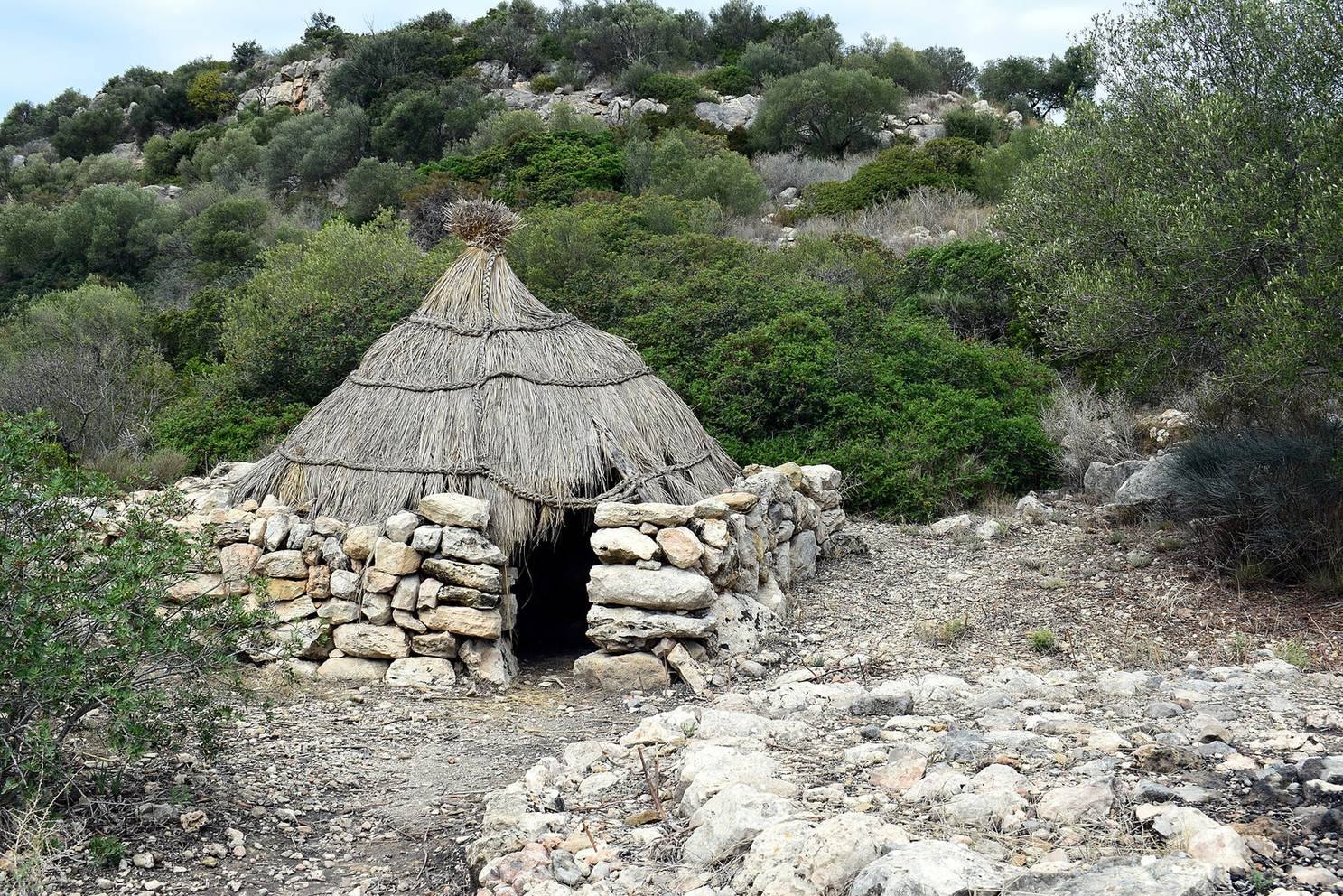
Six huts used by clearance farmers and three charcoal-burning pits survive in the park. They represent rural land use after the foundation of the Kingdom of Mallorca, the medieval polity centered on the Balearic Islands. Some huts have been restored, and the group illustrates local dry-stone building techniques.
Woodland and plants
Aleppo pine woodland and undergrowth form part of the park’s landscape. The undergrowth includes mastic, toothed lavender, white rockrose, and Anthyllis cytisoides. Endemic plants include wild broom, bufera, and a small butterfly orchid found in Mallorca only in this area.