Peristera Fortress: A Late-Antique and Medieval Stronghold in Bulgaria
Site at a Glance
- Rating
- 4.6
- Popularity
- Medium
- Country
- Bulgaria
- Primary era
- Medieval
- External website
- Open
- Eras represented
- Classical, Medieval
- Civilizations
- Byzantine, Roman, Second Bulgarian Empire, Thracian
- Site type
- Military
- Remains
- Citadel
On this page11 sections
History
Peristera fortress is a late-antique and medieval fortress in Bulgaria, on Saint Petka Hill north of Peshtera. The Romans established its first fortification in the second to early third century beside a major road linking the Upper Thracian Plain with the Aegean Sea. The site later became part of the Byzantine defensive system in the Balkans and was repeatedly rebuilt before its final medieval destruction.
Thracian and Roman origins
The hill was occupied by the Bessi, a Thracian people associated with the central and southern Balkans, around the beginning of the Common Era. A megalithic complex and sarcophagus-shaped funerary urns belong to this period. The hill may also have served as a Thracian sanctuary before the fortress was built.
The first Roman phase dates from the second to early third century. The small military fort probably accommodated about 80 soldiers and guarded an important route between the interior of Thrace and the Aegean region. During the later Roman period, coins from the reigns of Diocletian, Constantine I, and Julian mark a phase of expansion. Civilians joined the military population, creating a settlement around the fortification.
The late-Roman fortress was probably destroyed during the Gothic Wars in the late fourth century, following the Roman defeat at Adrianople. After an interruption of about 150 years, the fortress and its associated settlement were revived at the beginning of the sixth century.
Byzantine reconstruction and destruction
Large-scale construction, two collective coin hoards, and other archaeological material belong to the sixth-century revival. Barbarian attacks in 528–529 and the Byzantine defeat in 533 led to a reorganization of regional defenses. During the reign of Justinian I, the fortress was rebuilt and incorporated into a wider system protecting the roads between the western Thracian plain and the Aegean region.
Two defensive towers were converted into single-nave churches for the garrison. The settlement reached its greatest economic prosperity under Justin II, whose reign is represented by numerous coin finds. Later Avar and Slavic attacks, followed by Byzantine counterattacks, turned Thrace into a prolonged zone of warfare. Coins of Tiberius II mark the end of the late-antique occupation, which ended in a destructive fire probably connected with the Slavic incursions of the late sixth century.
Medieval reuse and later memory
Peristera entered a fourth, medieval phase in the thirteenth century. Ceramic fragments and coins show that part of the fortification was revived, although on a smaller scale. The fortress was probably destroyed during the Ottoman conquest of the region at the end of the fourteenth century.
A settlement at the foot of the hill continued during Ottoman rule. Its inhabitants mined and worked metal, and a water-powered forge and three smelting furnaces operated until 1850. Remains found during the creation of the surrounding park indicate that a larger settlement extended below the hill.
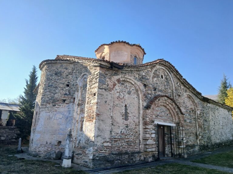
A medieval church dedicated to Saint Petka was built or remodeled in one of the former church-towers. Its ruins remained visible until approximately the mid-nineteenth century. The place then continued as an obrok, a locally venerated sacred site associated with a church or memorial tradition, preserving the memory of Saint Petka.
The name Peristera probably derives from Greek and means “dove” or “place of doves.” Local tradition says that a flock of doves flew from Saint Petka Hill when inhabitants were choosing a site for a church after Christianity was introduced into the Roman Empire. The earliest known reference to the ruins was made by Stefan Zahariev in 1870, and Konstantin Jireček mentioned the fortress in travel writings of 1883.
Excavation and conservation
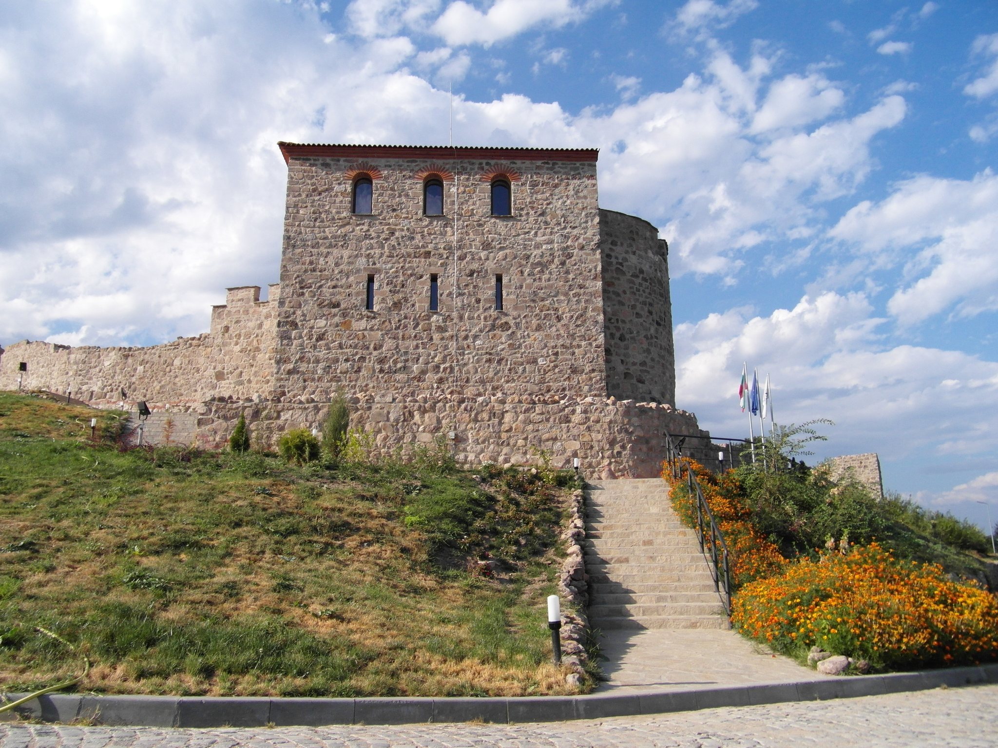
Initial archaeological investigations took place from 1954 to 1958, followed by partial sondage excavations in 1972. Regular systematic excavations were carried out in 2007, 2010, and 2011 under the direction of Boni Petrunova. Their results led to conservation, partial restoration, and the presentation of the fortress, including work on the citadel and walls, the conversion of the southern tower into a museum, and the creation of an open-air museum on the northern side.
The Municipality of Peshtera completed the restoration project by early 2014. Peristera was designated a cultural monument of national significance in 2011 because of the archaeological value of the complex.
Remains
Fortified layout
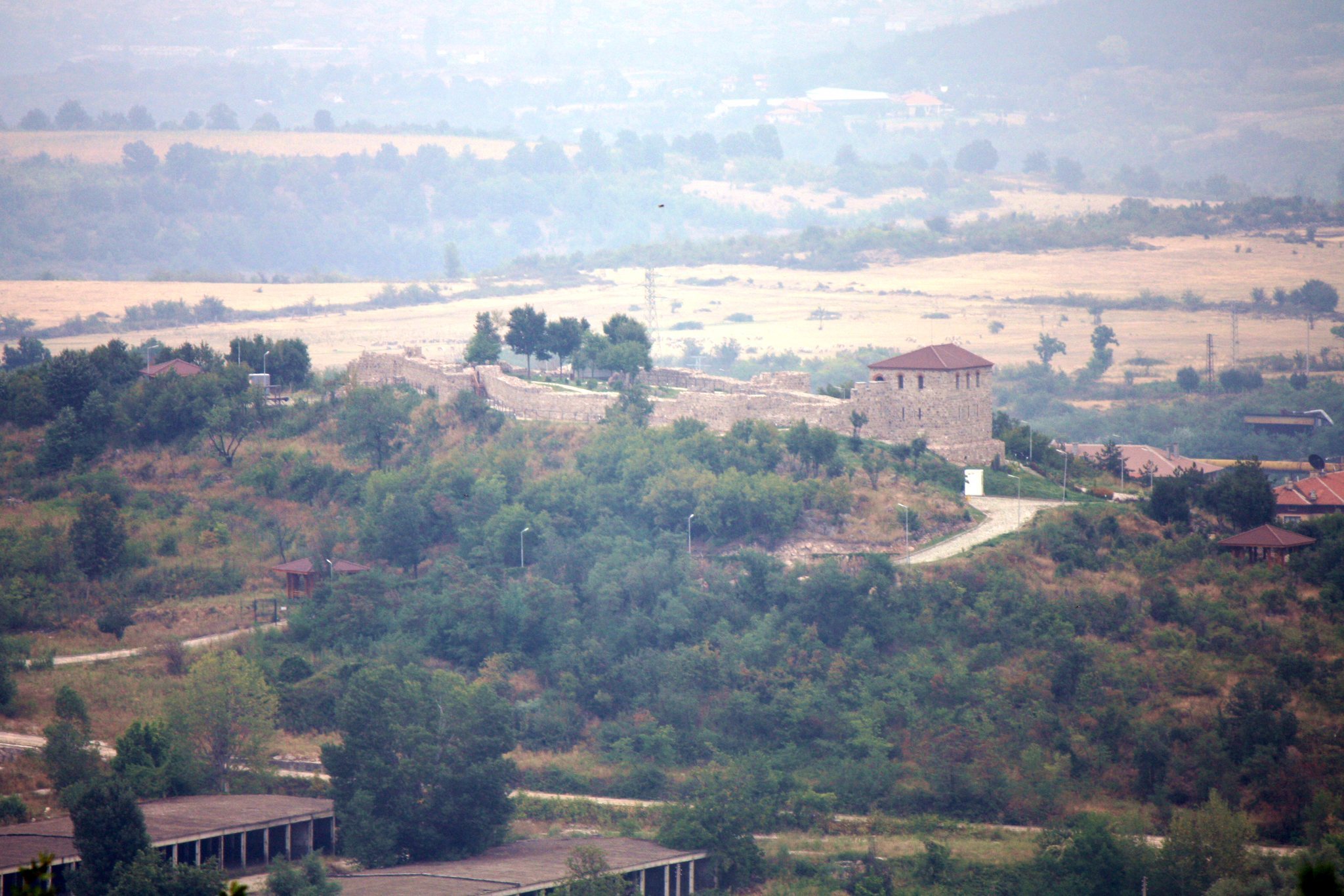
Peristera occupies Saint Petka Hill and consists of a citadel, an inner town, and a lower settlement. The wider fortified complex covered roughly 1.5 to 2 hectares, while parts of the lower settlement now lie beneath modern streets and buildings of Peshtera. Three enclosing lines of fortification protected the site. The second enclosure covered about 1.5 hectares of the hilltop, and the third surrounded the entire complex, including the lower settlement. Most buildings stood close to the defensive walls.
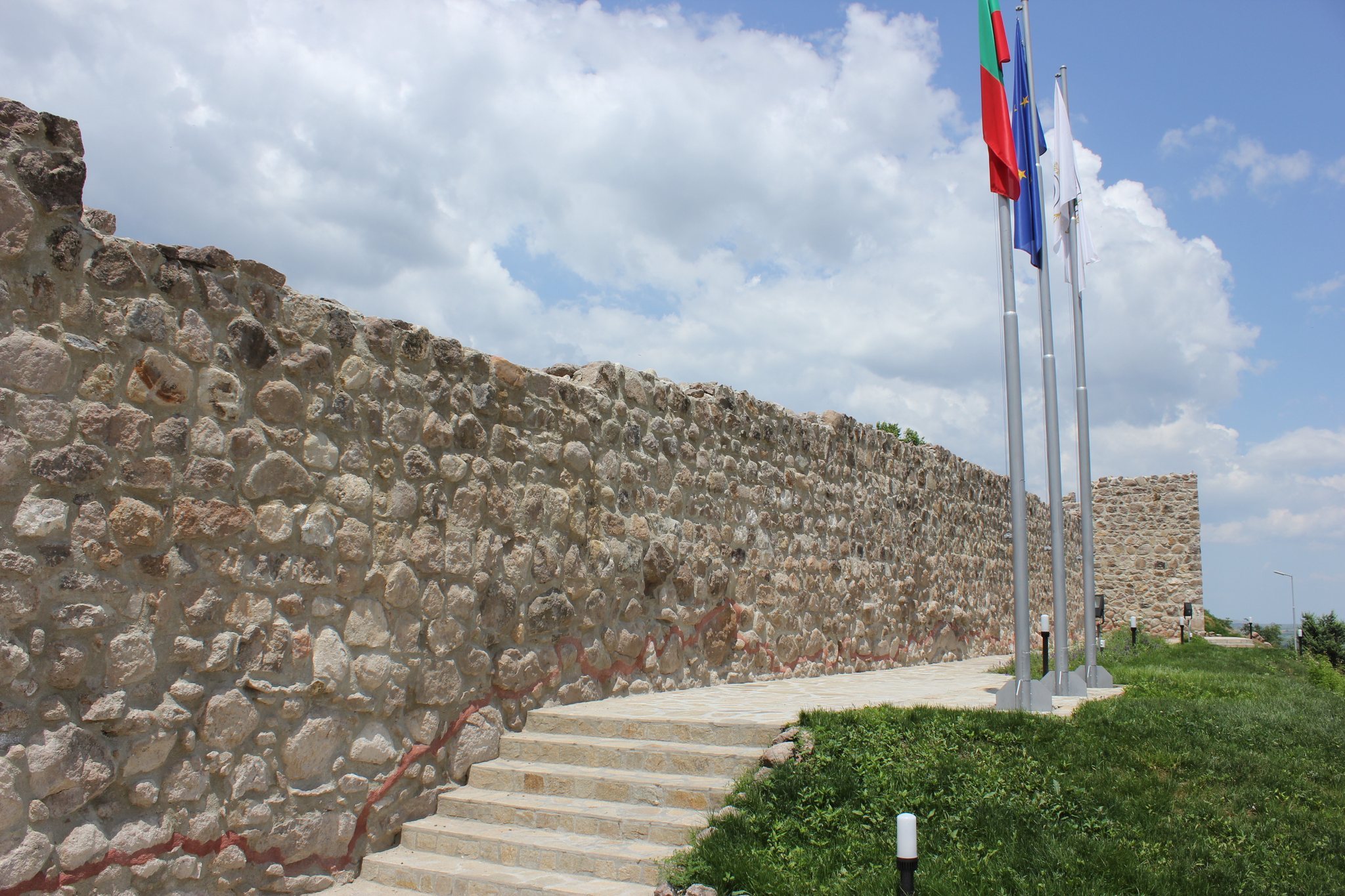
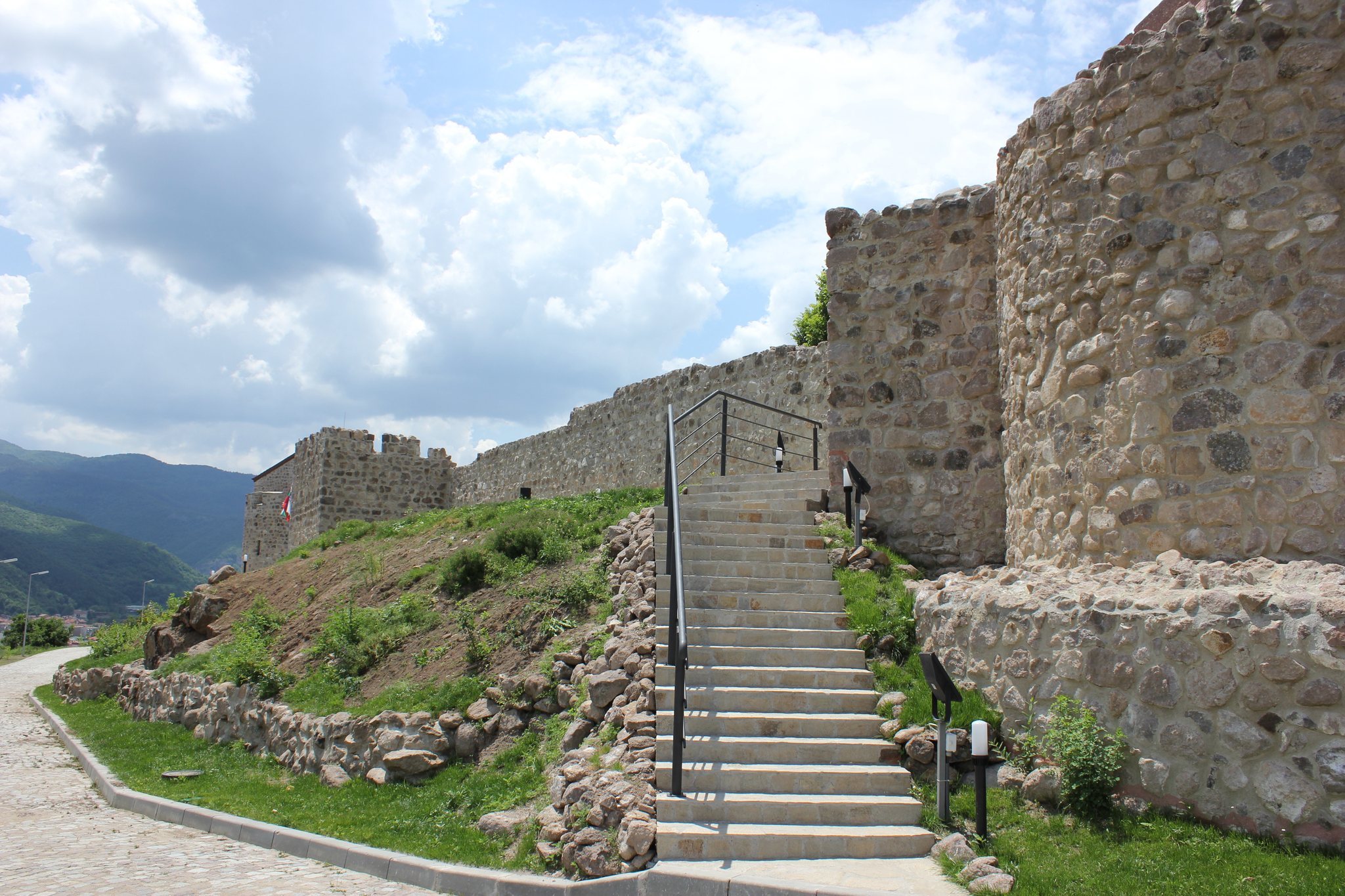
The citadel has an elliptical plan aligned from northeast to southwest. It measures 94 metres in length and 37 metres in width, covers 2,895 square metres, and stands at approximately 494.6 metres above sea level. The ground rises or falls by about 5 to 6 metres across the enclosure. Its walls are 253 metres long and were built from large rough stones bonded with mortar. They reached up to 3 metres in thickness and probably stood at least 14 metres high. Before restoration, surviving sections reached approximately 2.6 metres.
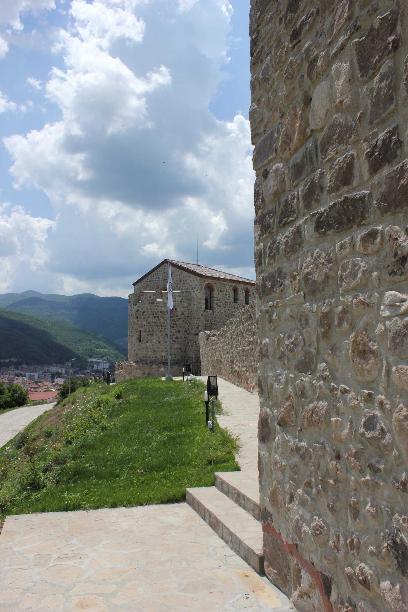
Six towers stood along the citadel wall: three rectangular towers, one triangular tower, and two towers shaped as churches. The church-towers occupied the northeastern and southeastern corners, combining defensive functions with single-nave religious spaces. The northern gate changed form at least twice. It first stood in the curtain wall, the continuous wall linking towers, near the northwestern corner, probably beside a rectangular gate tower projecting southward. Possibly at the beginning of the sixth century, a rectangular tower measuring 11.30 metres from west to east was built there, after which an entrance was formed in its eastern wall. Another entrance was later created farther east, north of the southeastern church-tower.
A street about 1.5 to 2 metres wide ran beside the southern wall between the wall and the buildings. Other streets crossed it on a north-south alignment. Excavations identified 27 interconnected rooms along the long sides of the citadel, including residential, storage, workshop, and other functional spaces.
Church-towers
Southeastern church-tower
Tower 1, the southeastern church-tower, occupied an important defensive position and was connected with a postern, a small secondary gate, in the eastern wall. Its cleared church measured approximately 9.40 metres along the south wall and 9 metres along the north wall. The apse, the curved end of the church containing the altar, was 1.90 metres deep, and the northern entrance was 1.60 metres wide.
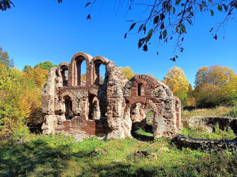
The tower contains opus mixtum, a Roman masonry technique combining brick courses with stonework. Three courses of bricks bonded with white mortar were topped by a course of large irregular stones. The bricks measured approximately 0.25 by 0.26 metres. The restored tower presents a fourth-century construction phase together with parts of a sixth-century rebuilding.
A storage room lay 2.20 metres below the former ground level and contained pithoi, large vessels used for food or liquids. One vessel held charred grains. At 0.60 metres below the reference level, another storage area contains pithoi set into the floor and displayed in place. The church occupied the second floor, at 2.40 metres, while a defensive room and fighting platform were located at 5.40 metres.
The church’s longitudinal axis deviates 1 degree 34 minutes from the eastward direction. Its altar apse contains an icon of the Forty Martyrs, Christian martyrs commemorated by a religious feast, and icons from the Peshtera Historical Museum are displayed in the chapel.
Northeastern church-tower
Tower 5, at the northeastern corner, combined defense with the role of a spiritual centre. It measures approximately 7 metres in length, 7.20 metres in width, and 3 metres in apse depth. Excavations revealed fragments of wall paintings, marble pieces from vessels used for holy water, and ancient roof tiles incised with crosses.
The church’s axis deviates 5 degrees 8 minutes from the east-west direction. Its volume was partly reconstructed with modern materials following the original wall thickness, and a hemispherical apse vault was built. The church was associated with Saint Petka, while the southeastern church was associated with the Forty Martyrs.
Objects and storage facilities
More than 300 finds came from the modern excavations. They include coins, some of them gold, fragments of soldiers’ clothing, fibulae and jewellery, arrowheads, inscription fragments, marble architectural details, and clay and glass vessels. These objects illuminate the military, domestic, and religious activities carried out within the fortified settlement.
Nearly 80 pithoi were found, including very large vessels used to store food. Seventy-five remain displayed where they were excavated, while many of the vessels and other finds are presented in the open-air museum. The excavations also produced sarcophagus-shaped Thracian funerary urns from the edge of the hill and a bronze lamp bearing a large medieval cross.