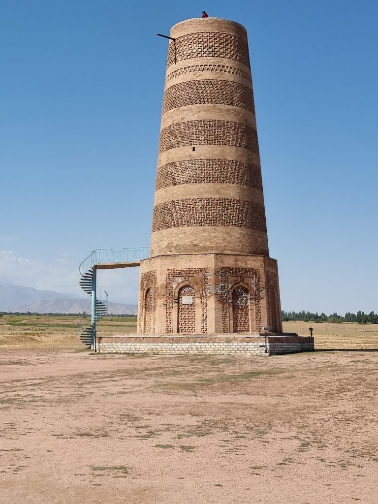
Navekat: An Ancient Silk Road City in Kyrgyzstan
Site at a Glance
- Rating
- 4
- Popularity
- Very Low
- Country
- Kyrgyzstan
- Primary era
- Medieval
- Eras represented
- Medieval
- Civilizations
- Sogdian
- Site type
- City
On this page12 sections
History
Navekat was an ancient Silk Road city in Kyrgyzstan, near the modern village of Krasnaya Rechka about 30 kilometres east of Bishkek. It flourished from approximately the sixth to the twelfth century as a commercial and political centre in the Chüy Valley. The Silk Road was a network of overland and regional routes linking East Asia, Central Asia, the Iranian world, and the Mediterranean, and cities along it often combined trading, administrative, and cultural functions.
Political and commercial development
Chinese sources describe Navekat in the seventh century as the headquarters of the last khagan of the Western Turkic Khaganate, a medieval Turkic state that ruled parts of Central Asia. They also portray it as a major trading centre. Persian materials state that the city was governed by the khagan’s brother, who held a royal title. A Sogdian document first mentions Navekat in 711. The Sogdians were an Iranian-speaking Central Asian people prominent in long-distance Silk Road trade.
Navekat’s position on the route across Central Asia supported its commercial growth and gave it strategic value. A neighbouring trading settlement was Kerminket. In 737, Navekat served as the court-city of Suluq Chabish-chor, the ruler of the Türgesh Khaganate. After the Chinese commander Wang Zhenxiang destroyed Suyab, the Türgesh capital, in 748, Navekat became the headquarters of a Western Turkic, or Karluk, khagan. The Türgesh and Karluks were Turkic political and tribal groups that controlled parts of Central Asia during the medieval period.
Religious communities
The city brought together Sogdians, Türgesh, and Karluks, while Buddhists, Muslims, Christians, and Zoroastrians lived there. Archaeological evidence also indicates a Manichaean presence. Manichaeism was a late antique religion that spread across Asia through missionary networks.
Navekat had an established Christian community. Christian burials from the seventh and eighth centuries include one in which a bronze cross was preserved on the chest. By the twelfth century, the community belonged to the Kashgar metropolitanate, an ecclesiastical province governed by a senior bishop. Its head was titled the Metropolitan of Kashgar and Navekat. A prominent Turk named Yaruk-tegin was one of the community’s leaders.
A missionary school at Navekat trained preachers who travelled through Semirechye, the Great Steppe, and China. Semirechye was the historical region corresponding broadly to the Chu, Ili, and Talas river basins. The East Syriac Christian tradition, historically associated with the Church of the East and often called Nestorian Christianity, maintained communities and missions across Central Asia and China. The missionary Subhaleshu, sent directly from Persia, was particularly associated with activity at Navekat. From the city, this Christian tradition spread among nomadic peoples and later reached Eastern Turkestan, where part of the settled Uyghur population adopted it.
Later history and archaeological identification
A Chinese name for Navekat meant “new city.” The tenth-century geographical work Hudud al-Alam placed it at the foot of Mount Uryn-Ardj, described there as already destroyed. Navekat probably ceased to function as a city around the thirteenth century, although the ruins continued to be used as a cemetery.
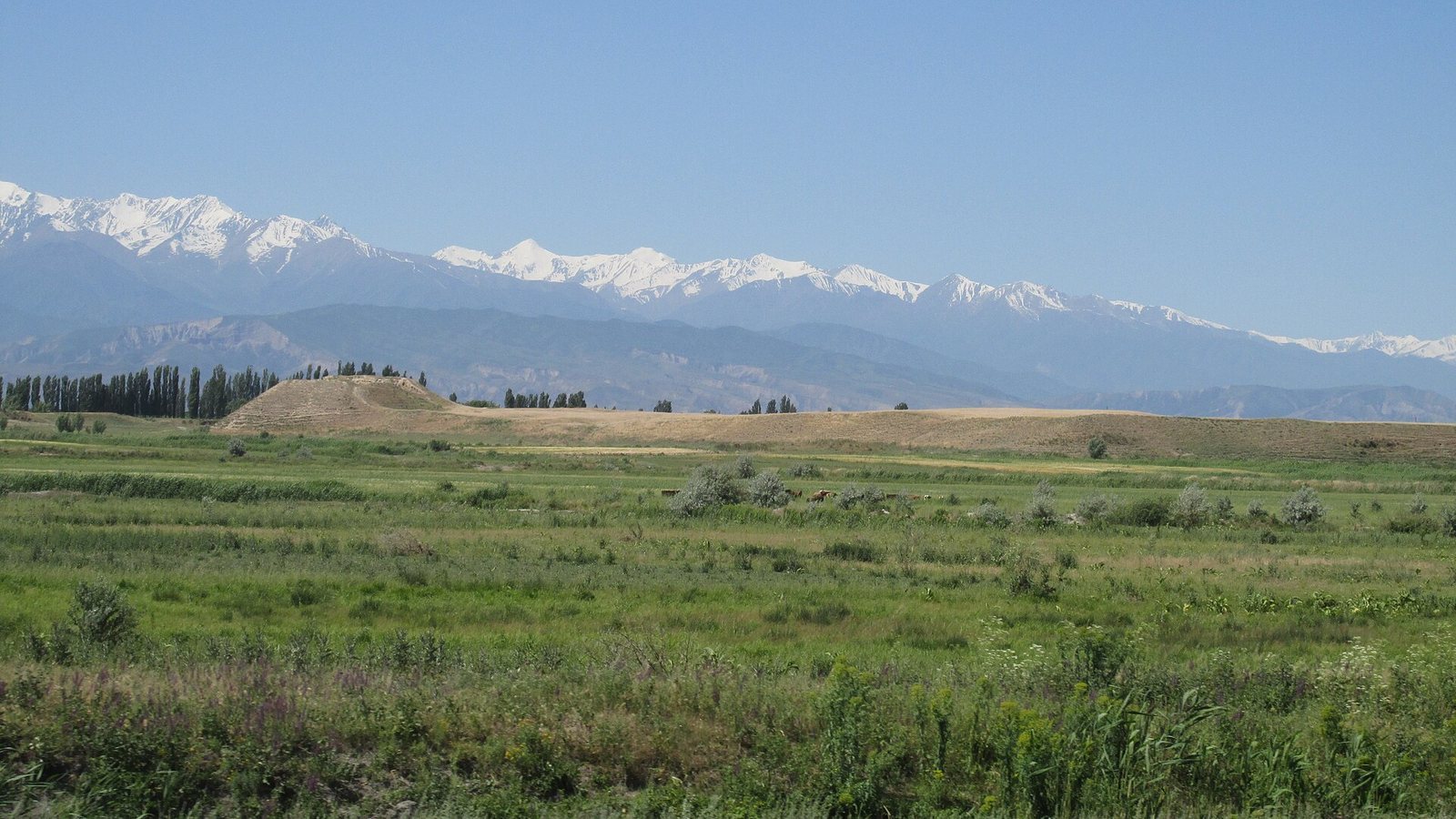
Archaeological research identifies Navekat with the Krasnaya Rechka settlement, though some historians have proposed other locations. Investigations took place in the 1930s and 1940s under A. N. Bernshtam, in the 1950s and 1960s under P. N. Kozhemyako and L. R. Kyzlasov, and in the 1980s and 1990s under V. D. Goryacheva and other researchers. In 2014, the Krasnaya Rechka ruins were inscribed as part of the UNESCO World Heritage serial property Silk Roads: the Routes Network of the Chang’an–Tianshan Corridor.
Remains
The archaeological settlement covers approximately 20 square kilometres, with central sections occupying about 100 hectares. Its layout includes a citadel, two principal settled urban sectors known as shahristans, and a cemetery. A shahristan was the main civic and residential area of a Central Asian city. Two enclosing walls structured the settlement. One surrounded a shahristan, while the other extended for more than 18 kilometres around public buildings, markets, gardens, and farms.
Citadel and enclosing walls
Citadel
The citadel occupied the northeastern part of the city on a massive artificial earthen platform. A citadel was an elevated or fortified administrative and defensive core. The platform had an estimated volume of approximately 13 million cubic metres, making it a major engineered feature within the settlement. Its position and construction defined the relationship between the elevated core and the wider urban area.
City walls
The two walls served different parts of the settlement. The inner enclosure surrounded the shahristan, the area associated with civic and residential life. The longer wall enclosed a much broader landscape of public buildings, markets, gardens, and farms, showing that the urban settlement extended beyond its central built-up quarters.
Religious and domestic buildings
Buddhist temples
Excavations uncovered two Buddhist temples. One contained an approximately eight-metre-long clay Buddha shown reclining. The discovery reflects the city’s Buddhist traditions within a wider religious environment that also included Christian, Muslim, Zoroastrian, and Manichaean communities. A golden burial mask was also found among the excavated remains.
Residential houses
Houses were generally square and divided into several rooms. Their plans included entrance corridors, cooking rooms, living rooms, and utility spaces. Walls were constructed from pakhsa, compacted earth or mud, together with unfired brick. Some houses remained in use long enough to require repeated repairs. In certain examples, walls were rebuilt or strengthened, and floors were laid again with fired bricks.
Cooking rooms contained bread ovens, ash deposits, animal bones, and pottery fragments. Living rooms yielded pottery, lamps, ornaments, and other household objects. Portable hearths provided heat and could be moved between rooms. They also served in religious rituals. Some rooms had alabaster-coated walls with carved decoration resembling geometric figures and plant and animal forms.
Objects from the settlement
The excavated materials reflect domestic life, craft activity, exchange, and military equipment. They include multicoloured painted pottery, fragments of glass vessels, knives, scissors, jewellery such as a silver bracelet and carnelian beads, and weapons including arrowheads and quivers. Coins from the Türgesh and Kara-Khanid periods connect the material remains with successive phases of medieval political and economic life in the city.