Milecastle 42: A Roman Fortified Gateway on Hadrian’s Wall


Site at a Glance
- Rating
- 4.7
- Popularity
- Low
- Country
- United Kingdom
- Primary era
- Classical
- External website
- Open
- Eras represented
- Classical
- Civilizations
- Roman
- Site type
- Military
- Remains
- Fort
On this page6 sections
History
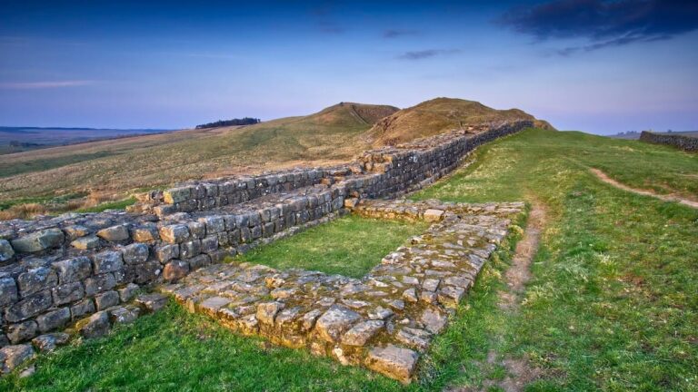
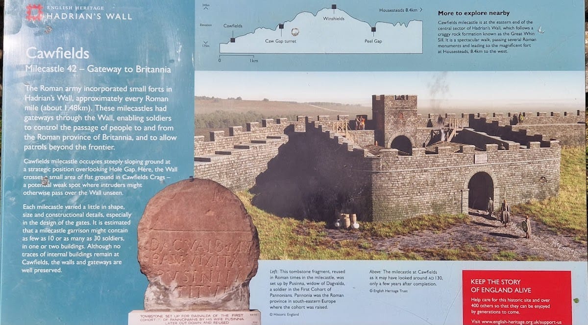
Milecastle 42, also known as Cawfields Milecastle, is a Roman fortified enclosure in the United Kingdom, near Haltwhistle. Built as part of Hadrian’s Wall during the reign of the emperor Hadrian, it formed part of the frontier system constructed across northern Britain around AD 122 to approximately AD 126. Soldiers of the Second Legion Augusta carried out the work during the governorship of Aulus Platorius Nepos, and a dedication to Hadrian commemorated the construction.
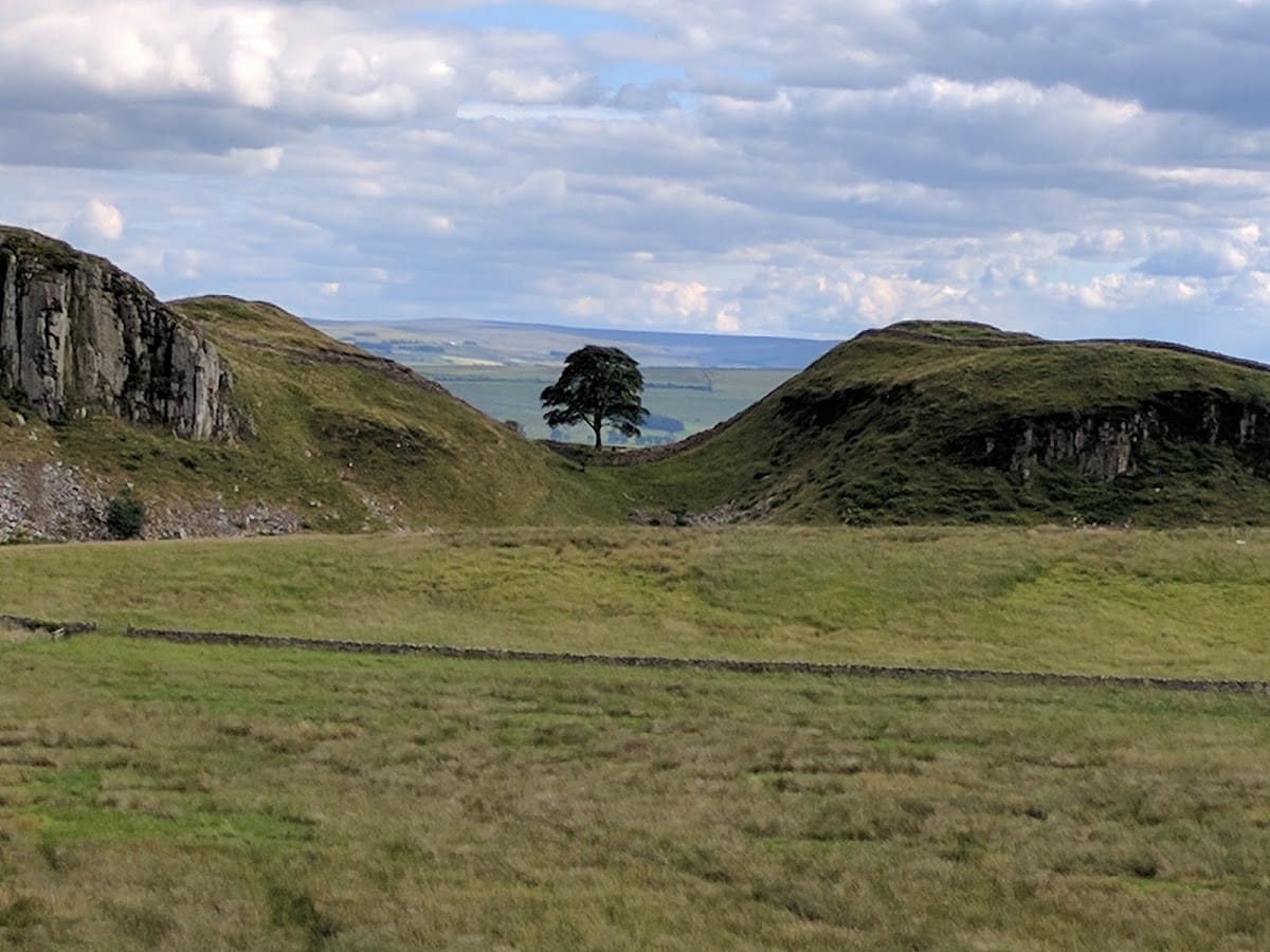
Milecastles were small fortified enclosures built into the frontier wall. Their gateways may have controlled military patrols, civilian movement, or both, while small garrisons probably occupied them. Milecastle 42 stood above Hole Gap, a possible route over the Wall that could be approached unseen. Its position on steeply sloping ground was therefore closely connected to the defensive purpose of the frontier.
Construction and Roman Use
The later excavations established that Milecastle 42 followed a short-axis plan, meaning that its shorter dimension formed the principal width of the enclosure. They also identified a Type I gateway. A reused inscribed stone found inside the milecastle provides evidence of activity after its original construction. It had first been a tombstone erected by Pusinna for her husband Dagvalda, a soldier of the First Cohort of Pannonians, a Roman auxiliary infantry unit originally recruited in Pannonia, south of the Danube in eastern Europe. The tombstone probably dates from near the end of the second century AD and was later reshaped, possibly for use as a hearthstone.
Excavation and Conservation
Excavations in 1847 and 1848 uncovered the inscribed dedication slab to Hadrian. Further work in 1936 clarified the milecastle’s plan and gateway type. Quarrying at Cawfields destroyed a large stretch of Hadrian’s Wall from 1902 and also destroyed the associated Turret 42A, known as Burn Head. The surviving section was placed in state guardianship in 1960, and the remains were exposed and conserved between 1960 and 1973. Part of Dagvalda’s tombstone survives at Chesters Roman Fort museum.
Remains
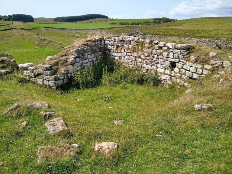
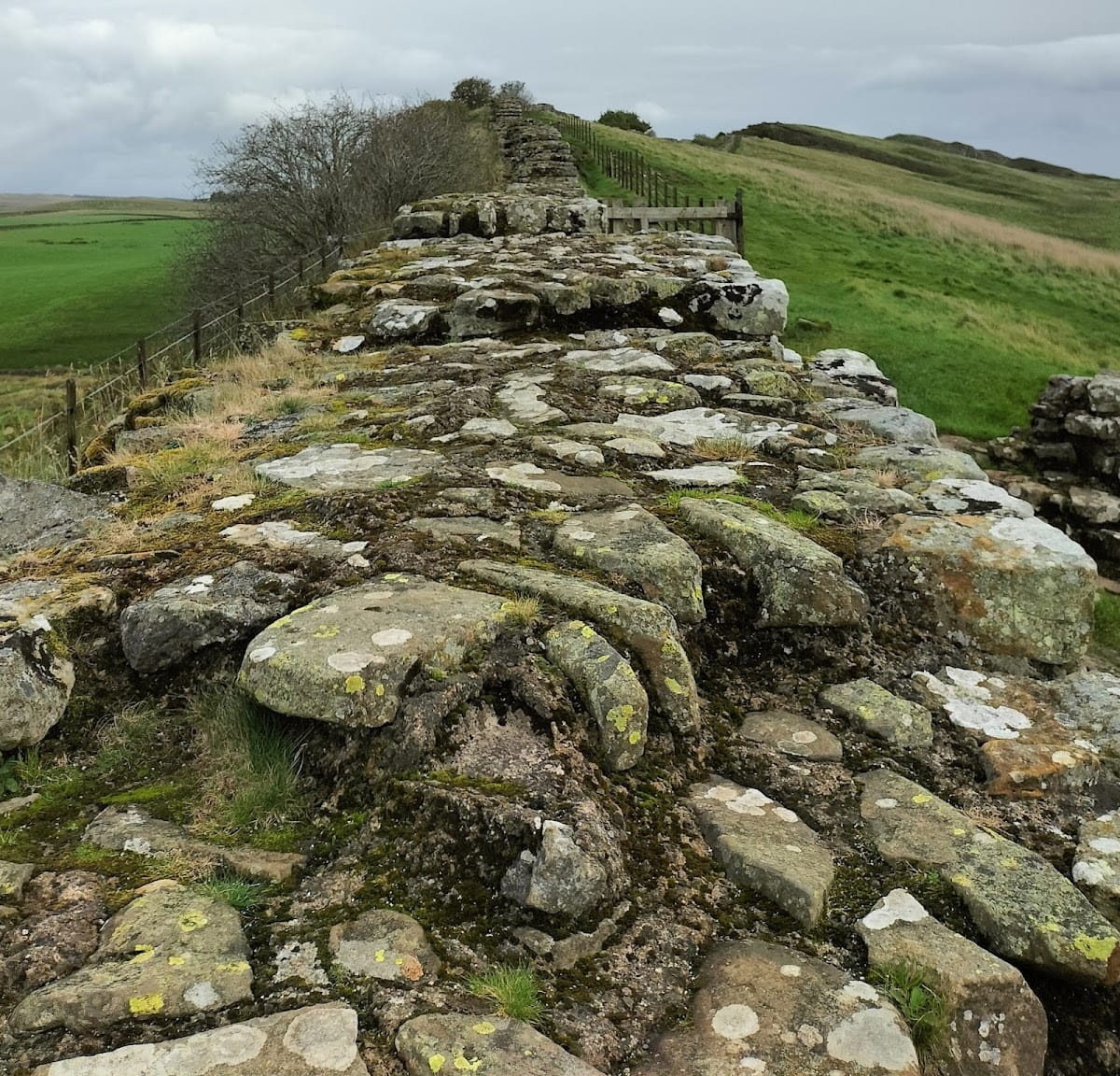
Milecastle 42 occupies a steep south-facing slope about 10 metres south of Cawfield Crags, overlooking Hole Gap to the west. It lies within a well-preserved stretch of Hadrian’s Wall. The enclosure measures approximately 17.8 metres from east to west and 14.4 metres from north to south. Its walls are about 2.8 metres thick and survive to roughly 1.4 metres high, while exposed bedrock helps explain the limited survival of evidence for the internal structures.
Milecastle Walls and Gateways
The defensive wall remains in reasonable condition, with particularly fine northern and southern gateways. Built from monumental stone blocks, these entrances formed substantial arches, and the northern gateway probably supported a tower. Circular sockets at the outer ends of the passageways held the iron pivots of double gates that opened inward. The dedication slab to Hadrian was originally set above one of the gateways and named the Second Legion Augusta as the unit responsible for the construction.
Associated Turrets
Two turrets were associated with Milecastle 42. Turret 42B, also called Great Chesters, was located through exploratory excavation in 1912. Its remains survive as a turf-covered platform approximately 0.5 metres high, preserving the position of one of the smaller lookout and duty stations placed between milecastles along Hadrian’s Wall.
Nearby sites