Magis Roman Fort: A Roman Coastal Defense in Workington
Site at a Glance
- Country
- United Kingdom
- Primary era
- Classical
- Eras represented
- Classical, Medieval
- Civilizations
- Roman
- Site type
- Military
- Remains
- Fort
On this page9 sections
History
Magis Roman Fort was a Roman auxiliary fort at Burrow Walls in Workington, United Kingdom, probably built around the middle of the second century. Auxiliary forts housed troops who were not members of the legions. Magis formed part of a chain of coastal defenses intended to protect the western flank of Hadrian’s Wall, the frontier barrier across northern Britain begun in AD 122.
Roman coastal defenses
After work began on Hadrian’s Wall, the Romans established a defensive network along the Cumbrian coast. Forts, smaller military posts, and watchtowers were intended to guard against attacks from Ireland and northern Britain. They also helped prevent an enemy from going around the wall by landing on the coast or crossing the shallow inlets of the Solway at low tide. The extent of this network farther south is uncertain. Finds at Moresby, Risehow, Maryport, and Crosscanonby point to a continuation beyond the Solway coast, and a small fort or watchtower may have stood south of the Derwent at How Michael, near Chapel Bank.
The area around Workington may have been inhabited before Roman rule. Remains of an Iron Age building were found on High Street. In the late second century, the region formed part of Britannia Inferior, one of the Roman provinces in Britain. It belonged to Britannia Secunda in the fourth century and probably became part of Valentia after an administrative reorganization in 369.
The late-fourth-century Roman administrative document Notitia Dignitatum is the only ancient text to name Magis. It places the fort between Maglona, identified with Old Carlisle, and Longovicium, identified with Lanchester. Magis was once identified with Gabrosentum, but that fort is now associated with Moresby. The name may come from the Celtic word magos, meaning “plain” or “field”; the Latin word magis means “more” or “better.”
Late Roman occupation
The fort’s garrison is uncertain. A unit called the Numerus Pacensium, a type of Roman auxiliary force, may have served there. A station for the Classis Britannica, the Roman fleet associated with Britain, has also been proposed. Inscriptions from the fort name neither a military unit nor individual soldiers. Legionaries may have been present temporarily for specialist construction work, although they were not usually assigned to frontier garrisons. A harbor may also have been situated on the north bank of the Derwent.
Pottery from a late Roman ditch within the fort dates to the fourth century and suggests that the defended area had been reduced by then. Occupation may have continued into the late fourth or early fifth century. The fort was apparently dismantled later, with its stone taken for reuse.
Recognition and investigation
In the sixteenth century, the English antiquarian William Camden described Roman coastal defenses, including remains at Workington. Two inscriptions were discovered in 1852. Richard Bellhouse and Brian Blake excavated within the fort in 1955, and archaeologist J. St. Joseph photographed the area from the air in 1976.
Remains
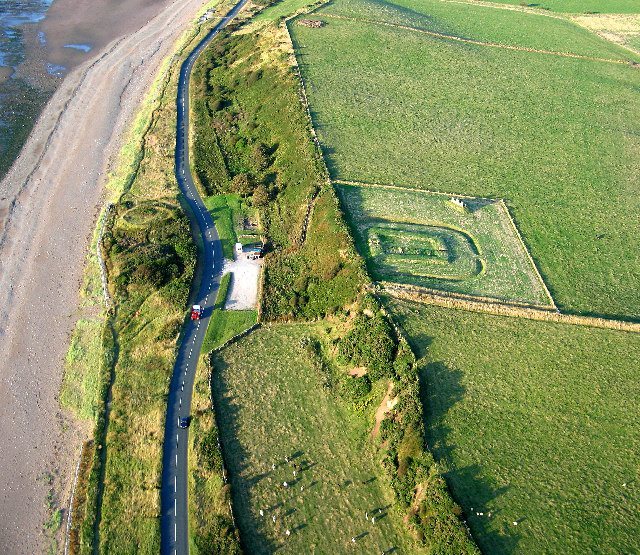
The stone fort stood on gently sloping pasture at Burrow Walls, north of the Derwent near its mouth at the Irish Sea. It occupied the east bank of a pond in the Siddick Pond nature reserve, with New Kelsick Farm to the southwest. The rounded-corner rectangular plan measured about 122 by 90 metres and covered roughly 1.1 hectares. The Derwent’s former channel, now silted, bordered the site; the river runs farther south today. A disused railway cuts through the western part, and erosion by the river has removed about one-third of the fort. Low rises remain on the southeast side and at the eastern corner, while substantial foundations are thought to survive underground.
Walls and defenses
The perimeter walls were about 2.4 metres thick. The fort probably had four gates, although the approximate position of the east gate is the only one identified; traces of a road at the north wall may point to another entrance. The gate structures are unknown. The walls may have had square towers along their inner face and a tower at each corner. Two defensive ditches, about 4.8 and 5 metres wide, encircled the fort. A strip 3.6 metres wide separated them, and a level strip of ground between the fort and its ditch was about 2.4 metres wide.
Interior buildings
Aerial photographs show parts of the fort’s interior buildings, as well as the later ditch within the defended area. The fort probably contained a headquarters, a residence for its commander, one or two granaries, barracks, a bathhouse, workshops, bakeries, and a latrine.
Later masonry
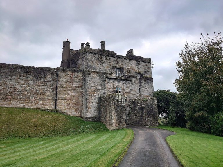
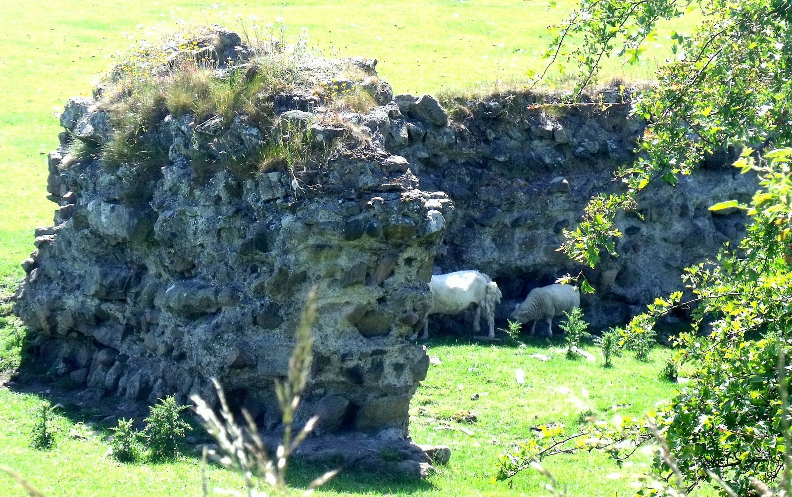
Two stretches of masonry in the southwest part of the site measure 13.2 and 8.8 metres long. They were built largely with stone taken from the fort’s walls and were originally about 2 metres wide, including facing stones that have since disappeared. The remains may belong to a Norman-period building or to a fortified residential tower.
Inscriptions and other finds
A badly damaged altar found on the north bank of the Derwent shows a goddess, probably Minerva, on its left side. On the right are legs and part of the club of Hercules. Its inscription names Aurelius and Secundus as the people who dedicated it. A second inscribed stone, probably a building slab, came from a drainage channel near the main gate. Its surviving letters, “S L A N,” remain undeciphered. Finds from the fort also include pottery fragments and many quern stones, used for grinding grain by hand. The fourth-century ditch produced Huntcliff Ware, a type of late Roman pottery.
Human skeletons found near the west wall appear not to have received formal burial. They may have been left there or buried without formal rites, and began to disintegrate rapidly when exposed to air. Cattle horns, animal teeth, and bones found nearby were probably butchery waste thrown over the wall.