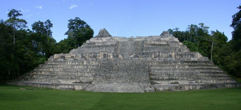
Lubaantun: A Late Classic Maya Regional Center in Belize
Site at a Glance
- Popularity
- High
- Country
- Belize
- Primary era
- Classical
- Eras represented
- Classical
- Civilizations
- Maya
- Site type
- City
On this page16 sections
History
Lubaantun is a Maya center in Belize’s Toledo District, established around AD 700 during the Late Classic, the later phase of the Maya Classic period, conventionally dated to about AD 600 to 900. It served as a regional capital and a religious, administrative, political, and commercial center. The name in use today is a modern Maya expression meaning “place of fallen stones.”
Late Classic development
The settlement flourished from the 730s through the 890s and was abandoned around AD 900. It may have been the largest prehistoric settlement in southern Belize. Estimates put its population at about 20,000 people, or roughly 600 per square kilometer, with many residents living in simple houses around the central precinct. Lubaantun was also a major cacao-producing center, and cacao beans served as a means of exchange.
The center’s position connected it with varied local resources and established routes of exchange. Highland communities supplied volcanic stone for axes and grinding tools, as well as game and hides. Foothill residents cultivated maize and beans and hunted deer, peccaries, paca, and birds. Coastal communities fished, hunted marine animals, and gathered shellfish; they transported marine goods upriver by canoe to Lubaantun and foothill settlements, exchanging them for maize. Fish bones from deep-water species, including frigate mackerel and sharks, point to fishing beyond the reefs. Coastal and lowland areas also supplied medicinal plants, fruit, and copal resin, while jadeite, obsidian, and grinding stones came from the Guatemalan highlands.
Finds at Stingray Lagoon, including Lubaantun-style whistle figures, goods from inland, and pottery decorated with stamped designs, support an interpretation of regional salt production and transport inland. Lubaantun and Nim Li Punit may have risen politically from earlier centers at Pusilha or Uxbenka. The language spoken at Lubaantun was probably a Cholan dialect, part of a group of related Maya languages.
Early investigations and the Mitchell-Hedges claims
Kekchi and Mopan Maya communities had brought the ruins to the attention of residents near Punta Gorda by the beginning of the twentieth century. Physician and archaeologist Thomas Gann investigated Lubaantun in 1903 and published two reports in 1905. In 1915, R. E. Merwin of Harvard’s Peabody Museum cleared vegetation, mapped and photographed the site, took measurements, and carried out small-scale excavations.
Gann returned in 1924 with F. A. Mitchell-Hedges and produced a new map. Mitchell-Hedges later claimed in an article that he had discovered the city. He came back in 1925 as a reporter, accompanied by Lady Richmond Brown. Anna Mitchell-Hedges, his adopted daughter, later said that she had accompanied him and found a crystal skull at Lubaantun. Other members of the expedition disputed that claim. Mitchell-Hedges bought the skull at a Sotheby’s auction in 1943; it had previously belonged to collector Sydney Burney, and a photograph of it had appeared in print in 1936.
Excavation and conservation
The British Museum sponsored T. A. Joyce’s excavations in 1926 and 1927. His work placed the site in the middle-to-late Classic period, although he also assigned some objects to the Early Classic, a dating later rejected by other archaeologists. Joyce argued that the scale and architectural character of Lubaantun reflected centralized authority and a large workforce. John Eric S. Thompson joined the 1927 expedition, excavated several building phases, and challenged Joyce’s interpretation of the masonry. Archaeological work then paused, while treasure hunters looted the site.
A joint British Museum, Harvard University, and Cambridge University project led by Norman Hammond ran from 1970 to 1973. The team mapped the ceremonial center and nearby buildings and supported a Late Classic date. Its work included excavation of a family tomb. Restoration followed in 1998 through a program involving the Maya Archaeological Sites Development Program, the European Union, and Belize’s Department of Archaeology.
Remains
Setting and spatial organization
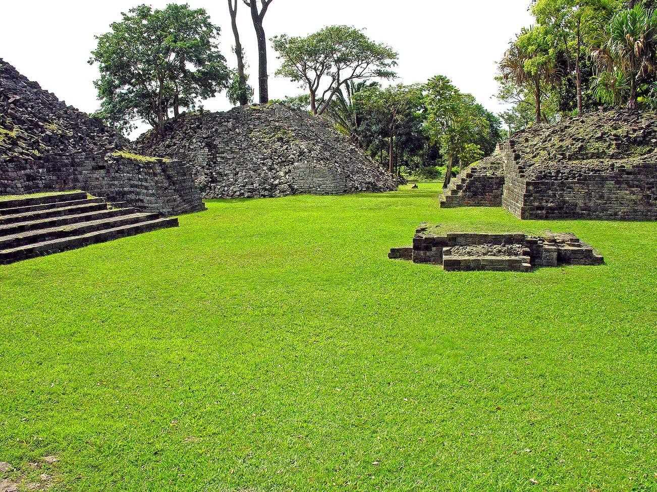
The central precinct stands about 61 m above sea level on a large, artificially raised platform between two small rivers or tributaries near their meeting point. The Colombia River lies about 500 m away, and the site is at the upper limit of canoe navigation on the river. Lubaantun is about 42 km northwest of Punta Gorda and 3.2 km from San Pedro Columbia. The center occupies a high ridge extending for 36 km. Instead of levelling its summit, the builders altered the slopes to make them steeper and form broad, level platforms. Its elevated position was well suited to defense.
The principal buildings are grouped around five main plazas within three broadly concentric zones. Religious buildings occupy the inner area, ball courts form part of the ceremonial zone, and residences made up the outer zone. The layout also distinguishes open public spaces from more enclosed areas. An acropolis, meaning a raised precinct containing major buildings, is among the identified architectural features.
Platforms and masonry
Raised platforms and stepped buildings
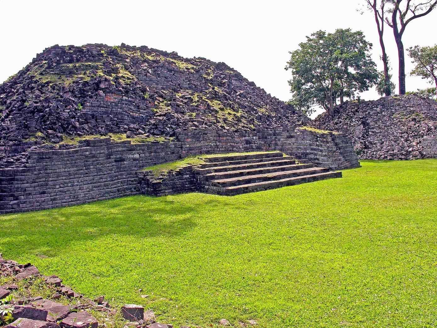
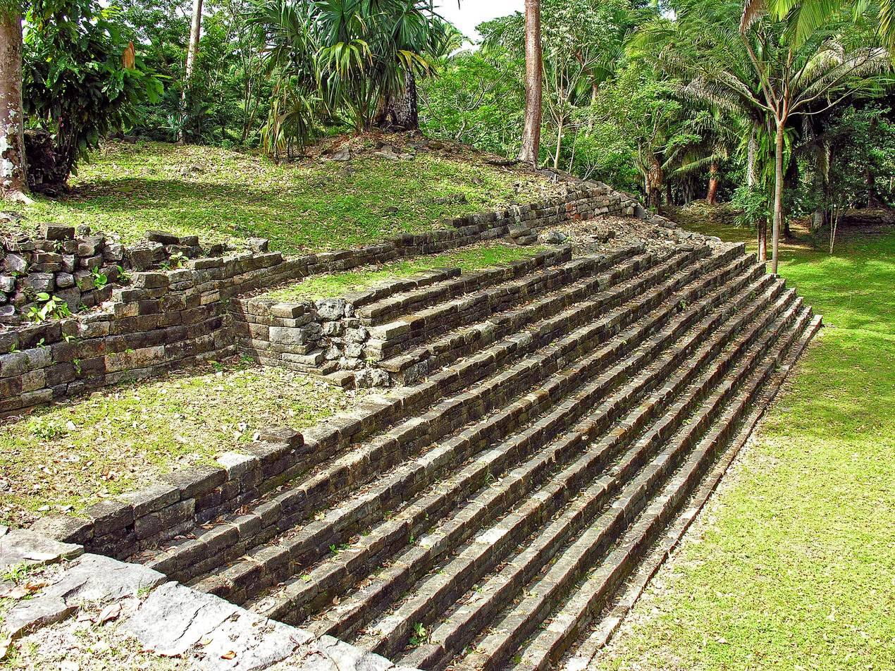
Step-pyramids are built chiefly as stone platforms with stairs and terraces, and their corners are generally rounded. Two excavated pyramids were described by Joyce as about 40 feet high. The tallest building rises roughly 11 m above its plaza and overlooks the foothills and coastal plain. Archaeologists have proposed that some buildings on upper platforms were made from perishable materials.
Stone construction
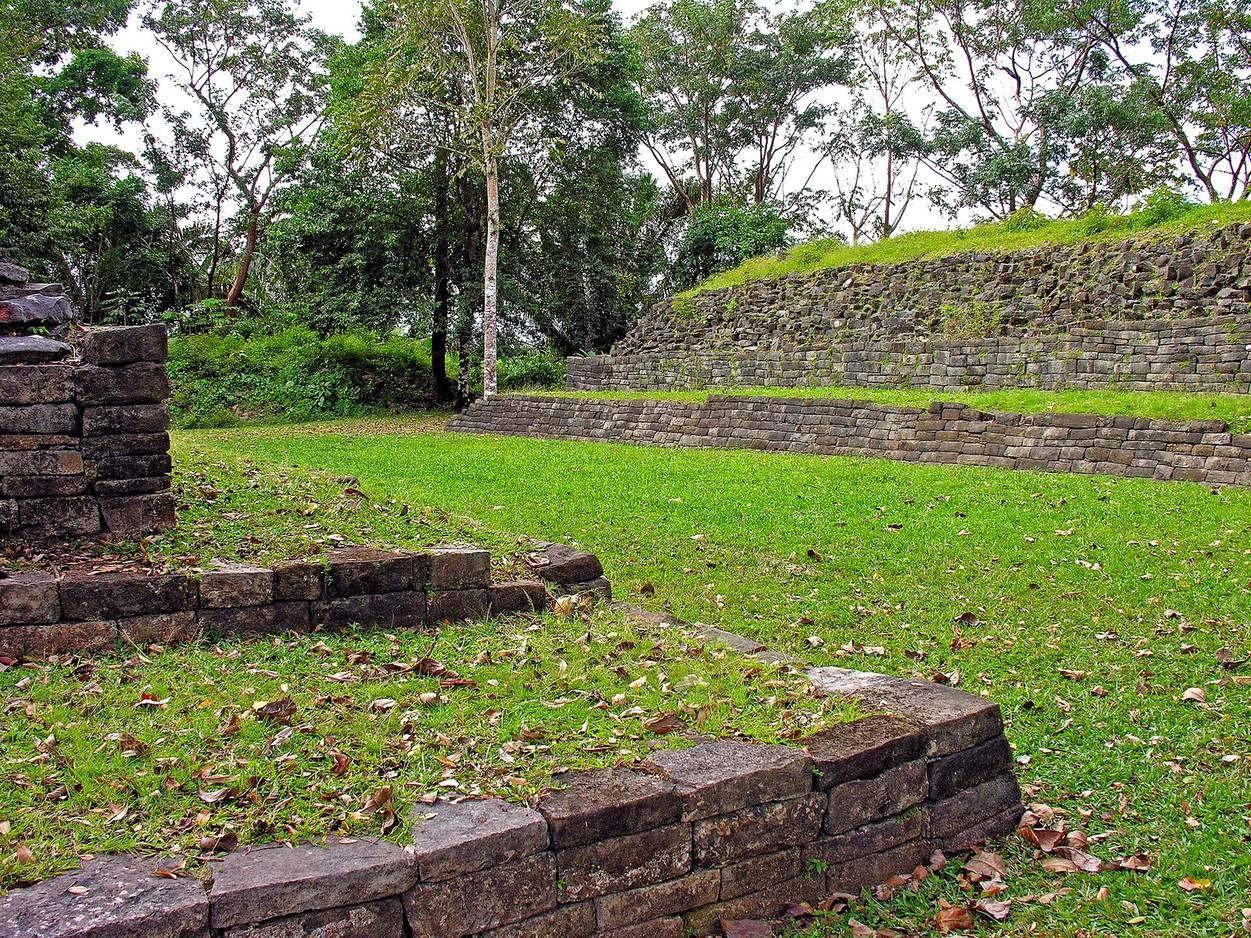
Builders fitted large blocks together without mortar, using black slate, limestone, and sandstone. Joyce grouped the masonry into four forms, from very large cut blocks and smaller blocks set perpendicular to them to alternating blockwork without plaster and a poorly executed version of that last arrangement. Some walls have projecting and recessed courses that slope inward. Thompson suggested that tree-root action, rather than deliberate design, could account for this appearance. Large stone terraces are also present.
Ball courts and markers
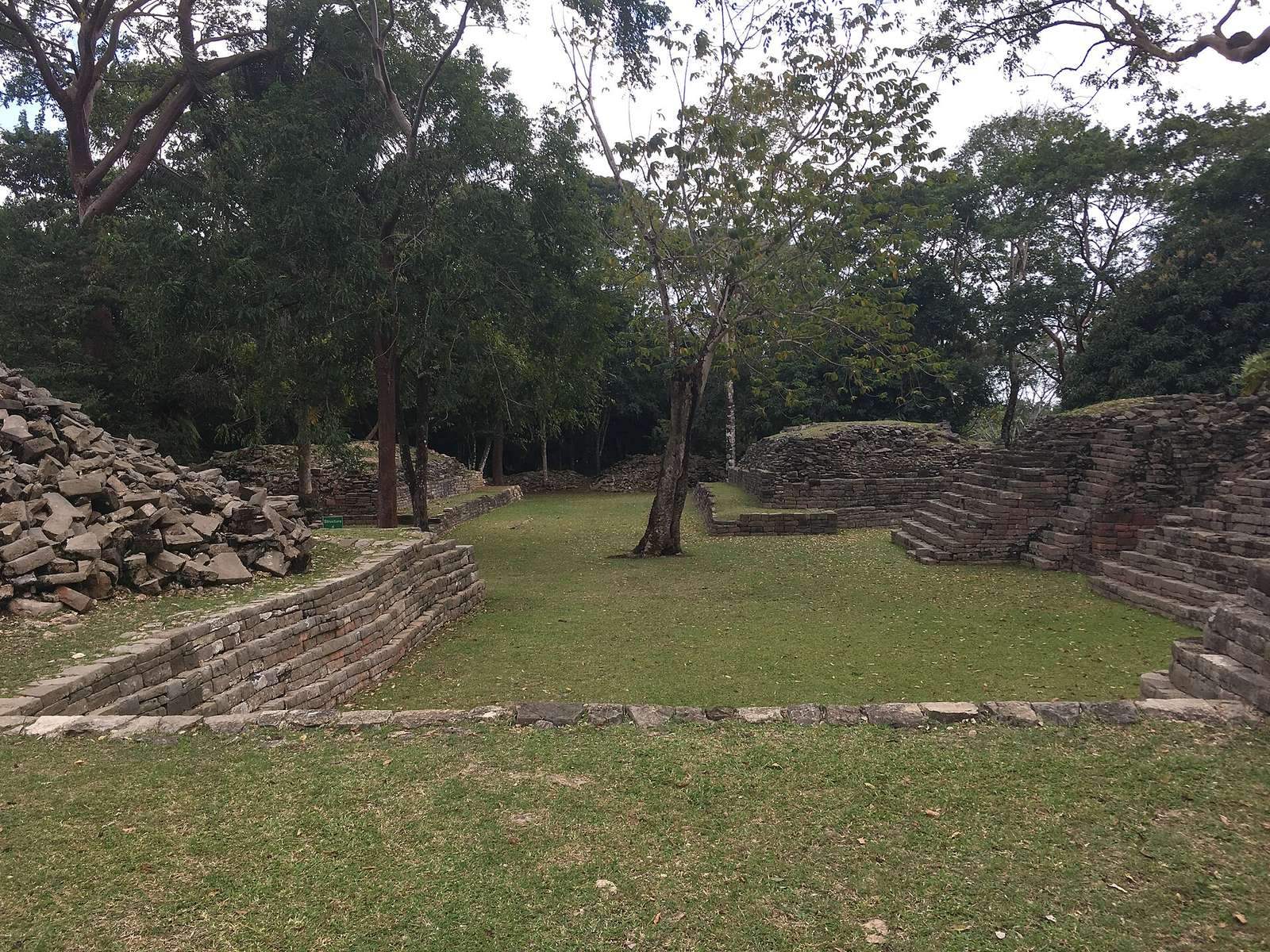
Three ball courts lie east, west, and south of the major E-group, a recognized arrangement of Maya ceremonial buildings. Merwin’s 1915 work recorded one of the courts, whose three carved stone markers show ballgame scenes and inscriptions. The scenes include two players. The markers were later taken to Harvard’s Peabody Museum.
Tombs and burial remains
Tomb beneath a capstone
One tomb lay beneath a very large capstone, an unusual feature noted at the site.
Family tomb
Hammond’s team excavated a separate family tomb containing the remains of 15 adults, women and men among them, including people in young and middle adulthood. Water damage affected the bones and caused masonry to collapse, while the teeth survived comparatively well. The arrangement of bones and skulls was interpreted as evidence of repeated use, with multiple burials placed in one area. The tomb appears to have been used for no more than about a century. Its pottery vessels were mainly in the Tepeu 2 style, a phase in a Maya ceramic chronology associated with Uaxactun, with some evidence of Tepeu 3. Their surface decoration had faded, though the vessels may once have been painted. Other finds included ground and polished stone, obsidian blade flakes, ear and nose plugs, and a stylized flower. Nearly all the individuals showed signs of early-childhood malnutrition, and all but one had dental cavities.
Ceramic figurines and other finds
Whistle figurines
Lubaantun is known for a large group of miniature, mould-made ceramic objects thought to have served as charmstones or ritual accessories. Many are whistle figurines, about 1 to 5 cm long, shaped as people or animals. Two finger holes allowed a figure to produce three notes. Some represent cosmological beings or officials in ceremonial clothing, and many wear masks.
Joyce distinguished figures with features such as cranial modification, ear flares, and nose ornaments from fuller-faced figures with large foreheads and cheeks. Male figures commonly wear girdles, capes, and long skirts, while female figures are associated with sombreros. Men also carry items such as provision bags, spears, and rattles; women hold water jars or baskets of produce. Girdles may indicate a warrior class. Other figures show the making of grinding stones, and fans were also found. A group wearing crested, close-fitting helmets, a glove on the right hand, and prominent thigh flaps was interpreted by Joyce as possibly representing ballplayers. He associated painted pottery with Pusilha and regarded Lubaantun as a center for moulded figurines.
Other ceramic and stone objects
Ceramic and stone effigies bearing cacao pods were found at the site. Other objects included turquoise, shells, pottery fragments, and obsidian blades, as well as manos and metates, the hand-held stones and stationary surfaces used for grinding food. Many objects from Joyce’s expedition entered the British Museum’s collection.