La Blanca: A Maya Administrative Center in Guatemala
Site at a Glance
- Popularity
- Medium
- Country
- Guatemala
- Primary era
- Medieval
- Eras represented
- Iron Age, Classical, Medieval
- Civilizations
- Maya
- Site type
- City
On this page20 sections
History
Early activity and development
La Blanca is a Maya archaeological site in the lower Mopan River valley of northern Petén, Guatemala. Activity at the site dates to the Middle Preclassic, around 900–600 BCE, and the Early Classic, around 250–600 CE. The South Group is identified as its oldest architectural group, with occupation in the Early Classic. The main settlement developed during the Late Classic, around 600–900 CE, and La Blanca is also associated with a later phase of Mokaya culture, an early Mesoamerican archaeological culture.
La Blanca appears to have served primarily as an administrative center, with relatively little emphasis on religious or ceremonial activity. Its political role and position between northeastern and southeastern Petén have led to interpretations of the site as a frontier post or regional trading center. It may have been subordinate to a major Maya city such as Yaxha or Naranjo, although that relationship remains uncertain.
Warfare, abandonment, and renewed occupation
During the Late Classic, access to the acropolis remained relatively open. As warfare threatened the region in the Terminal Classic, stairways and many entrances to the complex were blocked, and some buildings were sealed. Projectile points recovered from the acropolis’s southern terraces, together with human remains found near the surface, indicate a confrontation around the time formal occupation ended. The city’s elite left the acropolis, and most residents abandoned the center.
Refugees from the outskirts soon returned to occupy the acropolis. They left permanently during the 11th century, after which the site was not reoccupied. La Blanca’s principal settlement therefore passed through a period of renewed use after the city center had been abandoned.
Visits and archaeological work
Spanish captain Pedro Montañés visited the ruins in 1752; an archival record gives the date as 14 August. In 1905, explorer Teoberto Maler marked visible structures on a regional map as El Castillito. Archaeologist Raymond Merwin visited in 1913 and used the name Chac-Ha, while dense vegetation limited his exploration. Ian Graham published a site plan in 1980 based on earlier investigations.
Modern archaeological work began with mapping and photography in 1994, followed by clearance and survey work. A 1996 survey recorded looting damage and included test excavations. Repairs and structural support followed in 1997–98, with further work after earthquake damage in 1999. Detailed plans were prepared in 2000, and the Atlas Arqueológico de Guatemala surveyed the site in 2001. Excavations and other investigations continued from 2004 to 2018, including work in the city center and South Group. Investigations in 2008 uncovered a temple pyramid with a well-preserved central stairway in the South Group.
Remains
Setting and settlement plan
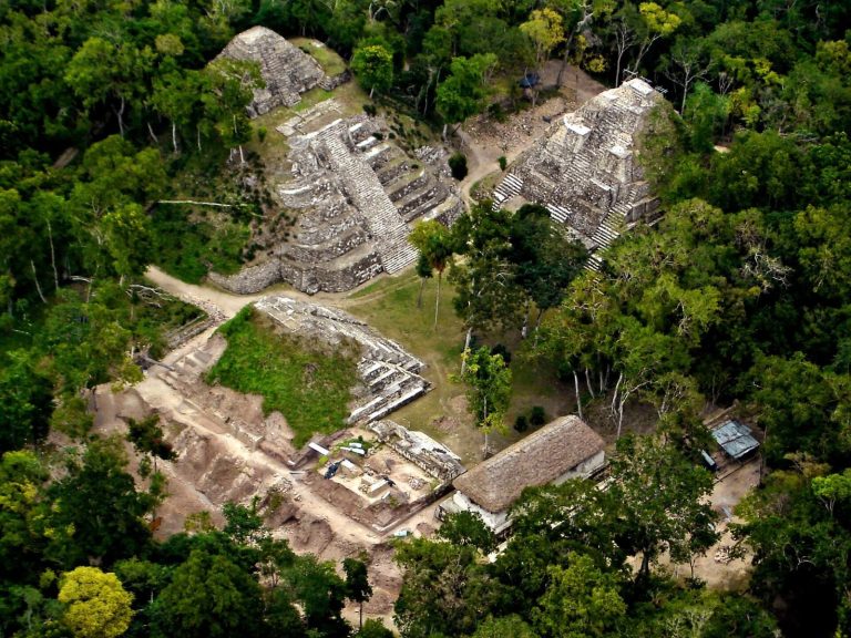
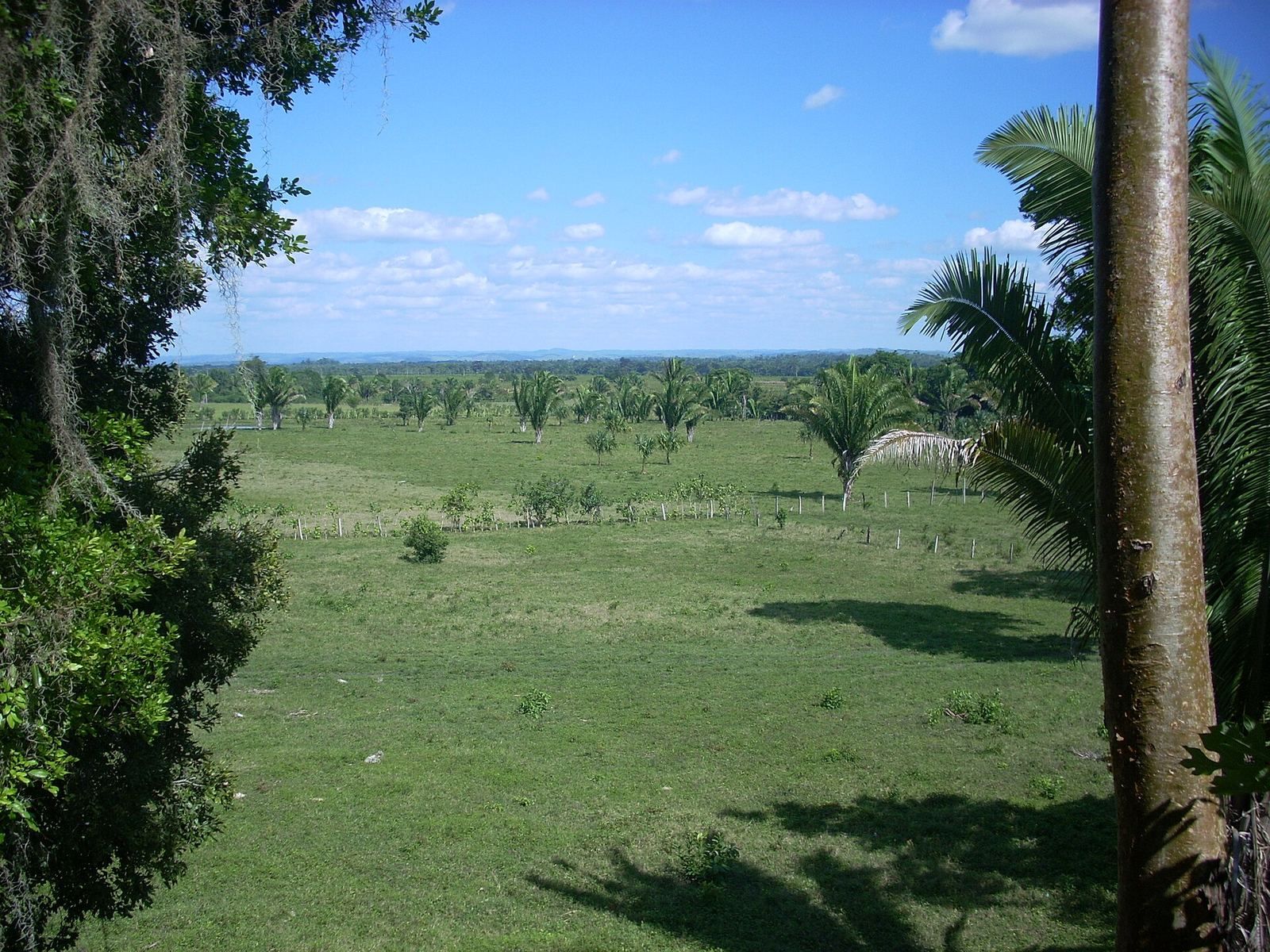
The archaeological area covers about 26 hectares and is arranged along a north–south axis oriented 12 degrees west of north. La Blanca lies south of hills that reach 490 metres in elevation, near the Mopan River and its tributary, the Salsipuedes River. Periodic flooding affects the land between the rivers and the ruins. Forest averaging 22 metres in height covers the area, with about 60 tree species, including breadnut trees and corozo palms. High-quality architecture is concentrated in the eastern part of the site, including the South Group.
Great North Plaza
The square Great North Plaza measures 70 metres on each side. During the Late Classic, its surface was levelled with clay-rich mud containing attapulgite, a clay mineral probably brought from nearby swamps. Ceramic and flint finds support the dating of this work. Excavations in the plaza and near the acropolis also revealed a retaining wall, probably linked to the platform beneath the palace complex.
Causeway and residential areas
A causeway, or raised route, 30 metres wide extends south from the Great North Plaza for about 300 metres, running west of and parallel to the acropolis before reaching the South Group. Numerous smaller mounds and platforms lie to its west and are thought to have formed residential areas. This zone includes three large plazas; a row of structures separates the northern plaza from the Great North Plaza. A stairway may have led south toward the Central West Plaza, which lies across the causeway from the acropolis. A 30-metre-long structure borders the plaza’s southern side and separates it from the South West Plaza. Smaller mounds farther west are thought to mark less prominent residential districts.
West Group
Construction in the West Group is less finely finished than in the acropolis. Finely cut limestone blocks were joined with earth-based mortar rather than lime-based mortar. Platforms appear to have supported buildings made from perishable materials, some possibly used for craft production. The group’s three main plazas appear to have stone-chipping surfaces rather than plastered floors.
Mound 1
Mound 1 is a pyramid about 25 metres high, with a base measuring 150 by 90 metres. Its construction dates to around 900 BCE.
South Group
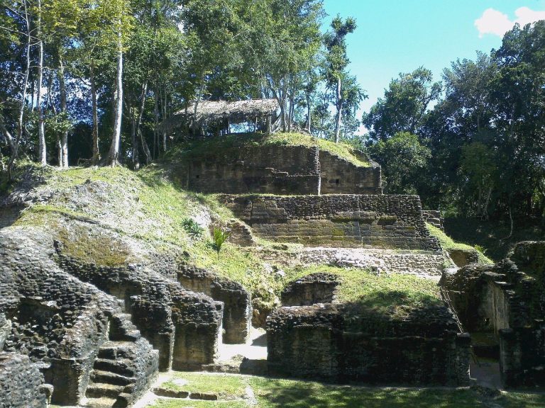
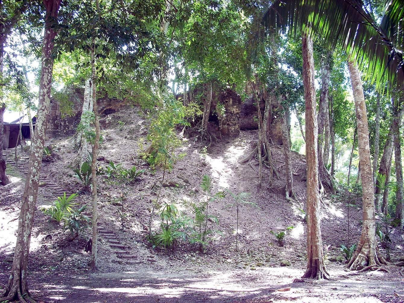
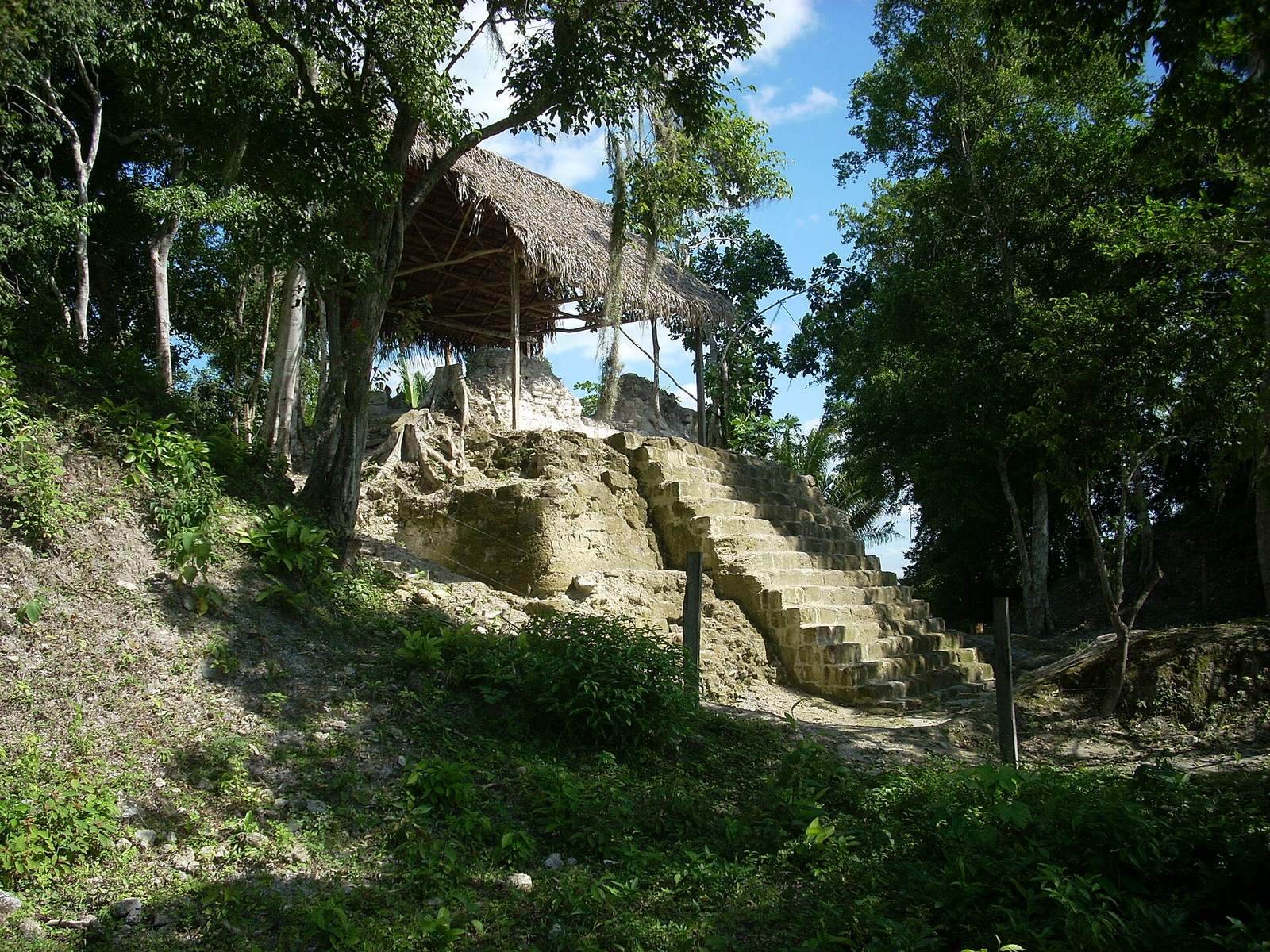
The South Group is the farthest group from the center with monumental architecture, and its orientation differs from that of the main settlement, apparently reflecting its earlier construction. It consists of medium-sized mounds, many damaged by looting. One mound about 9 metres high was nearly cut in half by a looters’ trench. Rescue excavations there recovered Late Classic ceramics, including a fragment bearing part of a hieroglyphic text. Excavations in 2008 also uncovered a temple pyramid with a well-preserved central stairway.
Mound 9 and Monument 3
Monument 3 was found on the western slope of Mound 9 in a residential zone considered largely or entirely elite. Excavations at the mound also revealed domestic features, including floors and burials. The monument is a 2.1-metre-wide quatrefoil, a four-lobed form, made from rammed earth or sandy loam. Its dark brown, nearly black clay coating has hematite-red paint along the inner rim. A channel within the rim may have carried water into the concave basin. The form has prompted an interpretation of possible ritual use connected with water or fertility. Dated to around 850 BCE, it appears to be the earliest known example of a quatrefoil in Mesoamerica.
The acropolis
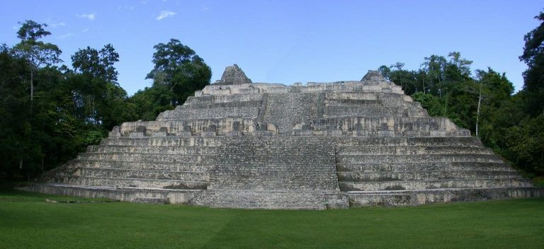
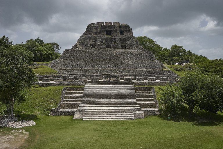
Also called the Quadrangle, the acropolis is a palace complex about 50 metres across, enclosed within the Great North Plaza. A broad stairway rises to it from the plaza, while terraces descend on the south toward a reservoir of about 1,500 square metres. The reservoir is now dry and appears to have supplied water privately to the palace.
Platforms and courtyard
Excavations revealed at least two successive platforms beneath the acropolis, built during the Late Classic from finely dressed stone blocks and finished with stucco, a plaster-like coating. In the Terminal Classic, the platforms appear to have been covered with unworked stones bound in mortar and finished with another stucco floor. The palace encloses a courtyard measuring about 36 metres on each side.
Palace ranges and entrances
The north, west, and south ranges face outward, each opening onto the courtyard through a central doorway. Added later, the eastern building has two side entrances and faces directly into the courtyard; it may have served as a ruler’s residence. The north entrance appears to have been the main approach. The south doorway provided a more private connection to the terraces and water source, while the western entrance opens onto a terrace about 5 metres above the causeway, with a view across the city.
Walls, rooms, and decoration
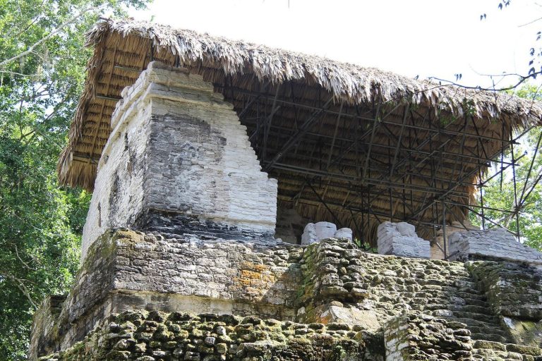
The palace walls are built from large, carefully cut stone blocks, in places nearly 2 metres thick, with rubble and mortar infill. Their outer faces are finely dressed, and the rooms have vaulted ceilings, meaning arched ceilings. The courtyard-facing walls are especially well preserved. The eastern outer wall extends for 32 metres and stands 12–13 metres above the Great North Plaza. A projecting horizontal cornice sits 3.8 metres above the building floor, which is itself 4–5 metres above the plaza. The wall rises a further 3 metres above the cornice, possibly to support a decorative band.
Palace rooms vary in size and generally reach about 6 metres from floor to the top of the vaulting; the vaults themselves rise as much as 4 metres. Traces of red and black pigment show that interior walls were painted. Collapsed exterior fragments indicate that stone friezes, or decorative bands, depicted supernatural beings. Some walls retain stucco and pigment, and sapodilla wood was used for the lintels, the horizontal supports above doorways. Several south-facing rooms have paired, symmetrically placed entrances, an unusual arrangement for Petén range buildings.
South range and terraces
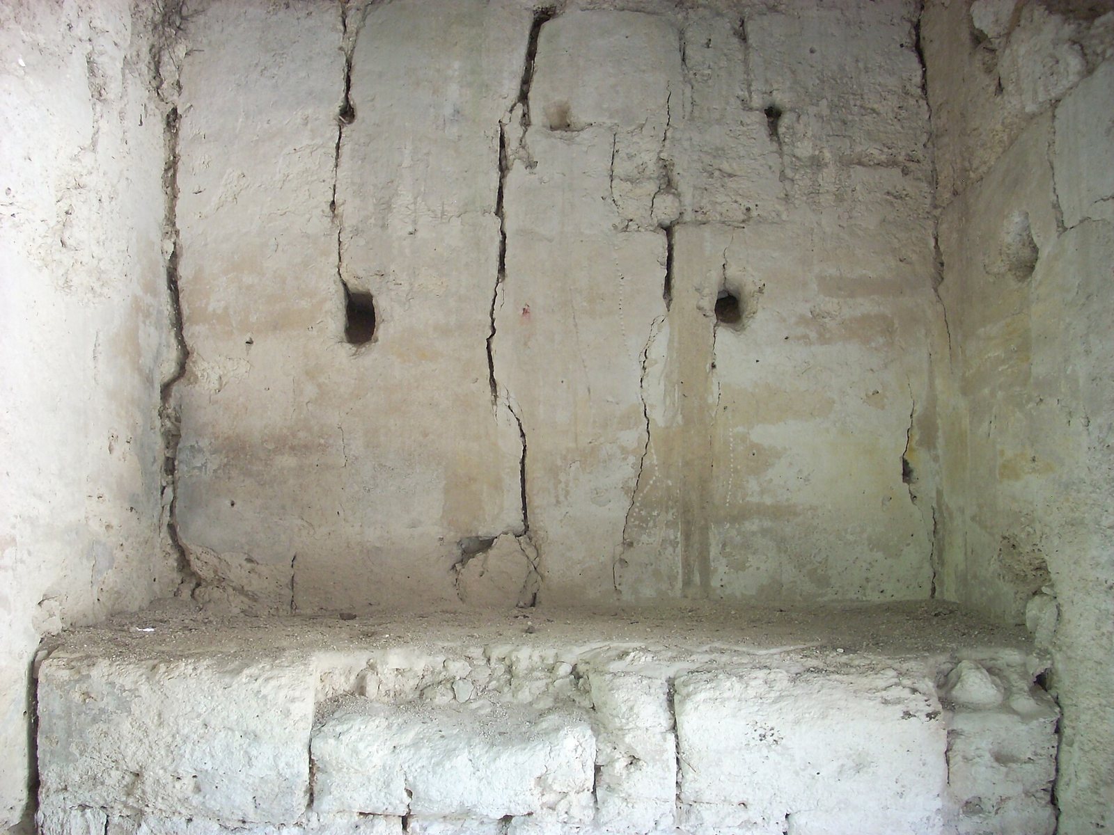
The south range is 42 metres long and separates the courtyard from the terraces. Its rooms contain benches about 0.75 metres high that extend across their full width; some retain their original stucco, and the bench in Room 1 has a small step. Excavations immediately south of the range uncovered part of a platform thought to have supported a terrace. Its remains include a well-preserved sloping wall covered in stucco and a stairway, as well as part of a second sloping terrace wall.
Graffiti and excavated finds
Wall graffiti and pigment
Graffiti covers many of the acropolis’s stuccoed interior walls and is thought to date mainly to its final Early Postclassic occupation. The drawings show people, animals, deities, temples, and courtly scenes, including deer, a turtle, a frog, supernatural beings, and two flute players. Other figures appear to play musical instruments. Some marks belong to the colonial period, including Montañés’s name and the date 1752. Analysis of pigment from the south range identified minerals and plant materials of local origin, possibly gathered near El Camalote hill.
Ceramics and other objects
Excavations in the south range recovered about 11,000 Terminal Classic potsherds and about 150 Early Postclassic pieces, along with 150 stone artifacts and hundreds of stone-working waste fragments. Fifteen incomplete ceramic figurines include animal forms and elite human figures wearing elaborate headdresses. One is an owl-shaped whistle, matched by an identical whistle found in a rubbish deposit in the courtyard. Other hand-modelled figurines have rounded cheeks and closed eyes associated with the Potbelly sculpture tradition, as well as large heads linked to the Monte Alto culture.
Finds at the threshold of Room 3 included a complete Terminal Classic vessel, a flint knife, and broken figurine fragments. At Room 4’s threshold, excavators found a complete Early Postclassic tripod plate, a vessel standing on three supports. Within Room 4 were 70 broken Terminal Classic ceramic pieces, 232 Early Postclassic pieces, and a greenstone axe. Many of the later fragments came from a tripod pitcher with animal-shaped supports that was largely reconstructed. A 13.5-centimetre flint knife weighing 225 grams had been deliberately placed in the infill of the north interior wall, with its blade pointing outward and three decorations near its tip. It may have been deposited as part of a construction-related ritual.
Excavated deposits provide further evidence of activity around the palace. The terraces immediately south of the acropolis yielded 798 Terminal Classic ceramic fragments, stone chippings, and animal bones. Pits in the courtyard contained 5,425 ceramic fragments of the same period, 22 pieces from animal-shaped figurines, stone and shell artifacts, animal bones, and waste flint chips. A burial in Room 3 of the south range held a person lying on the right side, facing west, with arms bent. Preliminary examination suggests the individual was a young adult male about 1.6 metres tall; the left side of the skull is deformed, possibly through oxycephaly or plagiocephaly, forms of skull deformation.