Kleinkastell Hönehaus: A Roman Frontier Fort in Germany
Site at a Glance
- Popularity
- Very Low
- Country
- Germany
- Primary era
- Classical
- Eras represented
- Classical, Modern
- Civilizations
- Roman
- Site type
- Military
- Remains
- Fort
On this page11 sections
History
Roman occupation and frontier role
Kleinkastell Hönehaus was a Roman military fort on the Vorderer Limes in Germany, within the Upper Germanic-Raetian Limes, Rome’s frontier system of forts and other installations. Also known as Kleinkastell Rehberg, it was occupied from the first half of the third century until no later than 259/260, when the frontier collapsed.
About 350 m to the northwest stood Kleinkastell An der Altheimer Straße, thought to have been Hönehaus’s predecessor. It was only slightly older and was probably abandoned after Hönehaus was established. Its own occupation may have been brief, or it may never have been occupied.
Hönehaus has also been proposed as a principal surveying point for a straight stretch of frontier that began at a nearby bend and extended about 80 km to a watchtower near Haghof. A nearby watchtower could communicate by fire signals with Wp 9/116, about 75 km south near Kleinkastell Ebnisee.
Investigation and protection
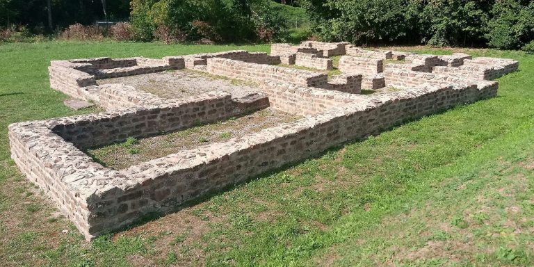
The Reich Limes Commission, established to investigate and record the Roman frontier, began excavating the fort in 1892 under section commissioner Wilhelm Conrady, who supervised work on a particular stretch. The walls were investigated again from 1968 to 1969 and raised to a uniform height during conservation. The fort has since been regarded as the best-preserved small fort on this stretch of the Limes.
Since 2005, the fort and its associated ground monuments have formed part of the UNESCO World Heritage property of the Upper Germanic-Raetian Limes. They are also protected as cultural monuments under Baden-Württemberg’s heritage law.
Remains
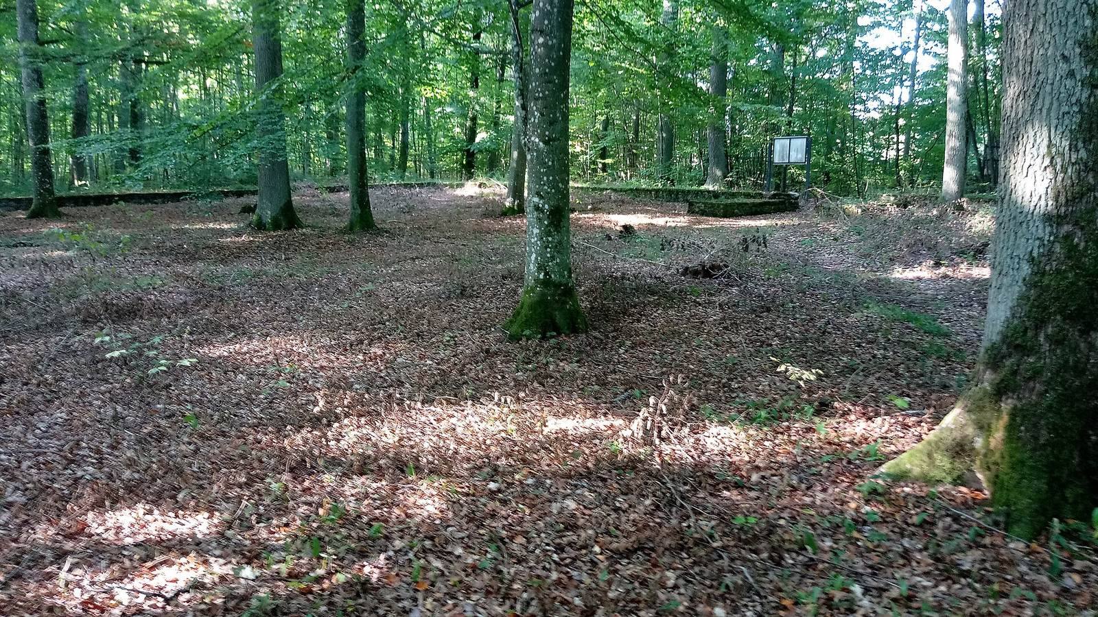
The fort stands at 459 m above sea level on a flat spur of Rehberg in the Great Forest, near Hettingen in the municipality of Buchen. Its stone enclosure measured about 46 by 39.5 m, covering roughly 0.2 hectares, and occupied exposed shell-limestone bedrock in hilly terrain cut by deep valleys. The site lies south of a distinct bend in the Limes, with the ground falling west into the Rehgrund hollow. From the spur, there was a clear view southeast toward Free Germania, the Roman-era term for territory beyond the frontier, and toward watchtowers to the north and south. The Limes palisade stood 78 m away.
The fort
Enclosure and entrances
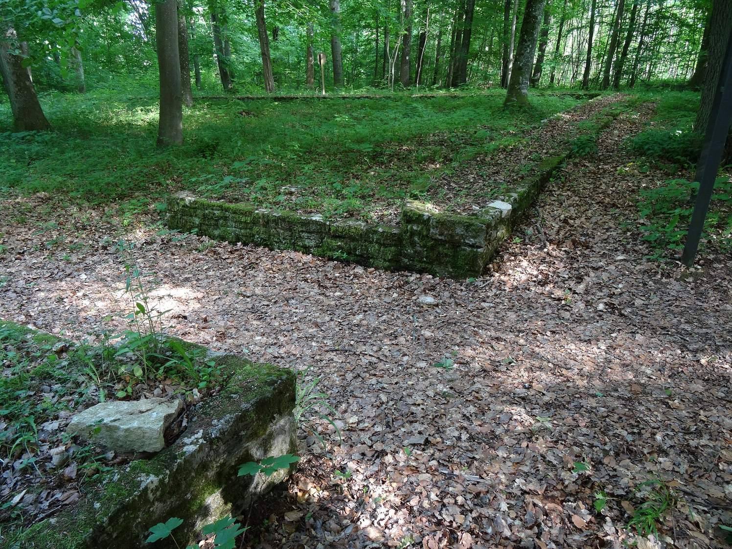
The enclosure had rounded corners and walls 1 to 1.1 m thick, built from local limestone slabs. During the 1892 excavation, parts of the walls survived to five or six courses. Cover stones from the battlements, the defensive wall tops, were also found. The conserved perimeter remains clearly visible.
Single-lane entrances pierced the east and west sides. Their inward-projecting cheeks were added in a separate building operation, possibly at a later stage, and were built differently from the enclosure walls. The east entrance was 2.4 to 2.5 m wide and the west one 2.6 to 2.7 m wide. Postholes measuring 40 by 40 cm at the ends of the eastern gate cheeks may have supported a roof or gate closure.
Interior deposits and finds
A dark layer just inside the enclosure was 30 to 40 cm thick and 4 to 5 m wide. It contained tool remains, pottery fragments, household objects, and animal bones. Fragments of fired wattle-and-daub suggest that the wooden accommodation buildings burned. Pottery included red-slipped fine tableware from Rheinzabern and vessels with heart-shaped profiles. Four Roman silver coins found in 1892 belonged to the reigns of Caracalla, Severus Alexander, Maximinus Thrax, and Gordian III. Other finds, including weapons, are displayed at the District Museum in Buchen.
Sandstone shrine
During conservation in October 1967, forestry workers found a small shrine of gray sandstone near the north side of the fort’s interior. Its inscription dedicates it to the gods of good fortune and names Quintinius Lector, a freedman, meaning a formerly enslaved person who had gained freedom, as the person fulfilling a vow. Fragments of fine tableware, amphorae, and other vessels were found nearby.
Other frontier structures
Square structure on the Limes route
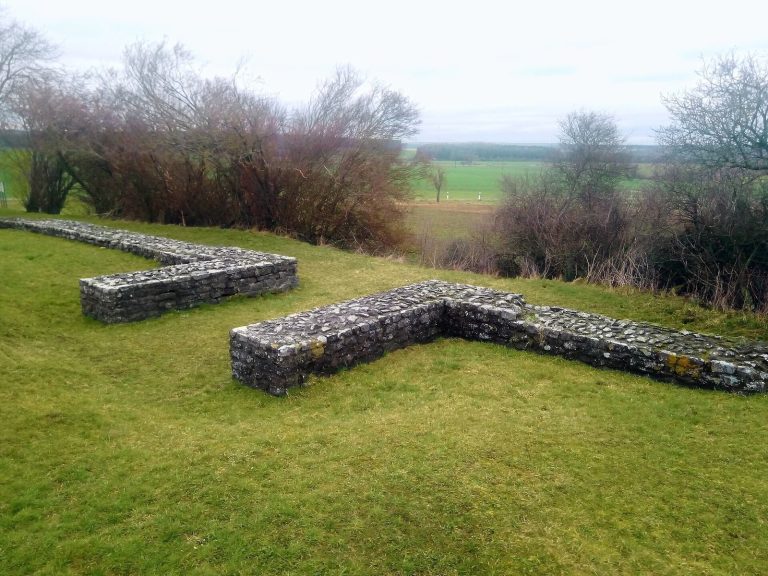
A separate square structure on the Limes route was re-exposed, recorded, and conserved in 1970. It measured 5.2 m on each side externally, and its surviving masonry was 0.75 to 0.80 m wide. The walls used shell-limestone rubble with two faces and traces of mortar; the facing blocks were small and fairly regular. The northeast and southwest corners were completely destroyed. Other wall sections survived to an average height of 0.30 m, reaching 0.50 m on the south side. Conservation added four or five courses above the original masonry.
Kühbaum tower
A tower on Kühbaum stood at the western edge of the summit, in an area of extensive rockfall. Karl Schumacher carried out exploratory trenches for the Reich Limes Commission to locate it. The tower was already badly damaged when found, and the remaining evidence included masonry stones, mortar fragments, and Roman pottery sherds.