Navajo National Monument: Preserving Ancestral Pueblo Cliff Dwellings
Site at a Glance
- Popularity
- High
- Country
- United States
- Primary era
- Medieval
- Eras represented
- Medieval
- Civilizations
- Ancestral Puebloan
- Site type
- Domestic
- Remains
- House
On this page8 sections
History
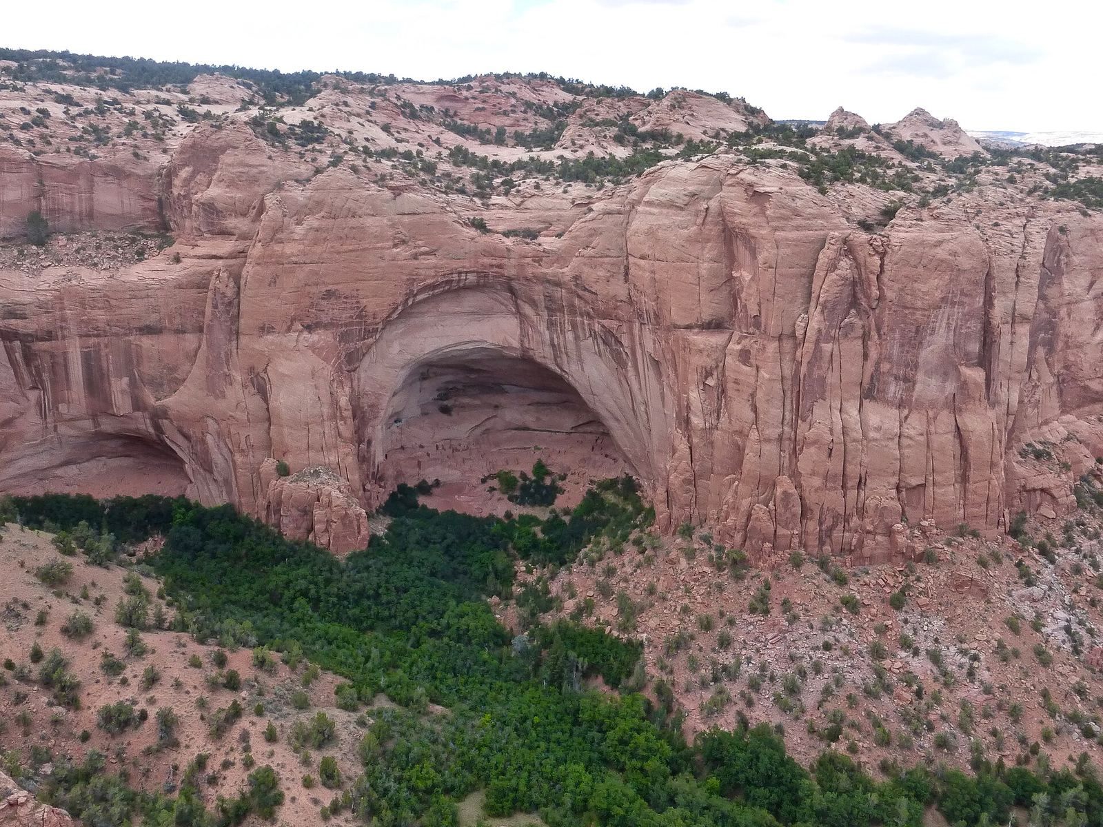
Navajo National Monument, near Shonto in northern Arizona, United States, protects cliff dwellings built by ancestral Pueblo communities, Indigenous peoples of the American Southwest and ancestors of today’s Pueblo peoples. Its principal sites are Keet Seel, Betatakin, and Inscription House.
Settlement and farming
Keet Seel was occupied by about 1250. Building activity increased sharply between 1272 and 1275, then gradually declined until construction ended in 1286. The settlement was abandoned roughly two decades later, and its population at its height may have reached 150. Betatakin was built between 1267 and 1286. Archaeologist Jeffery Dean estimated that its population reached about 125 during its roughly two-decade heyday.
Communities in the Tsegi Canyon area relied mainly on farming maize, beans, and cucurbits, or squash-family crops, while also hunting local game. Living in cliff dwellings may have helped keep mesa tops and canyon floors available for cultivation in the high-elevation desert. The area’s farming communities depended on these cultivated lands.
Departure and oral tradition
The region’s population fell sharply near the end of the thirteenth century, although the reasons remain debated. Annual rainfall declined from 1276 to 1299 during the Great Drought, increasing pressure on farming. Deep channels began cutting into the landscape and may have damaged farmland. Sediment building up on fields lowered the water table and made cultivation less viable. By the late thirteenth century, ancestral Pueblo people were moving toward places with more reliable water, suggesting that local farmland could no longer sustain earlier population levels.
Hopi oral tradition, belonging to the Hopi, an Indigenous people of the Southwest, describes Wunuqa, identified with present-day Tsegi Canyon, as a place left during a spiritual quest. In this account, the Snake Clan and Horn Clan lived among the monument’s ruins. After Snake Clan children bit children from the other group, causing deaths, the Horn Clan drove the Snake Clan away. The story may reflect a historical expulsion prompted by a perceived offense or slight.
Exploration and monument establishment
Navajo residents, members of an Indigenous people of the Southwest, had known Keet Seel for decades or longer before the Wetherill brothers arrived in 1895. The brothers, whose family had been ranchers in Colorado, explored the Kayenta region and brought sites unfamiliar to Anglo visitors to wider attention. They removed many artifacts from ruins that Navajo residents had left undisturbed for centuries; the objects were later sold or sent elsewhere. The brothers also earned a living guiding tours around Tsegi Canyon and in Utah, and later participated in efforts to protect the monument’s sites.
Richard Wetherill is credited with choosing the historical label Anasazi for the region’s ancestral Pueblo peoples. The term has been glossed in Navajo as Ancient Enemy Ancestors.
U.S. President William Taft established Navajo National Monument on March 20, 1909, to preserve Keet Seel, Betatakin, and Inscription House. In 1912, its area was reduced to three tracts: 160 acres around Betatakin, 160 acres around Keet Seel, and 40 acres around Inscription House. John Wetherill, University of Utah archaeologist Byron Cummings, and Navajo guide Clatsozen Benully first recorded Betatakin in 1909, after the monument’s establishment. Cummings led its first excavations that year. Archaeological work continued during the 1950s and 1960s, including research by Dean.
Remains
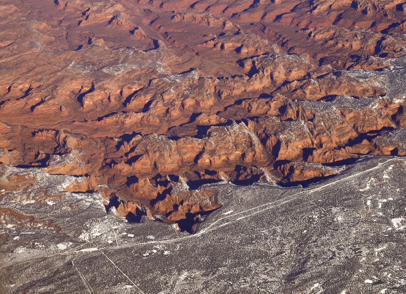
The monument occupies the Shonto Plateau overlooking the Tsegi Canyon system, west of Kayenta. Its three principal cliff dwellings are Keet Seel, Betatakin, and Inscription House, which lies farther west. The dwellings were built mainly from sandstone blocks joined with mud mortar. Their compact layout reflects a broader mid-to-late thirteenth-century regional pattern of gathering growing populations in dense, defensible settlements. Some buildings are thought to have stood at cliff bases beyond the shelter of the overhangs, where exposure to the elements eroded them.
Keet Seel
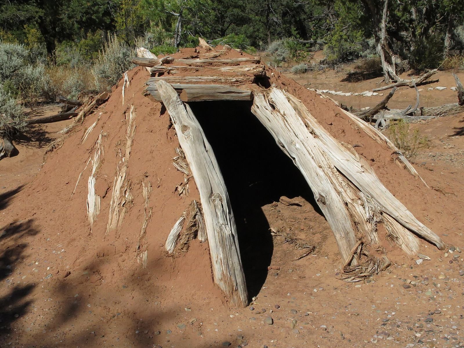
Keet Seel, a Navajo name meaning Broken Pottery Scattered Around, lies in a branch of Tsegi Canyon. Its natural overhang and the area’s very dry climate have helped preserve its buildings and artifacts. At its height, the dwelling contained more than 150 rooms and six kivas, rooms used for ceremonial and community purposes in Pueblo traditions. A circular tower and pit houses, or partly underground homes, are also among its architectural forms. Some walls were made from upright wooden poles arranged as screens and coated with mud; sheltered, dry conditions helped preserve examples.
Betatakin
Betatakin means House Built on a Ledge in Navajo. Its Hopi name is Talastima, meaning Place of the Corn Tassel. The dwelling occupies an alcove 452 feet high and 370 feet across. Its buildings used sandstone, mud mortar, and wood. About 80 of its roughly 120 rooms survive; rockfalls within the alcove account for the loss of the others. Betatakin has one kiva.
Room clusters
Keet Seel has 25 room clusters beneath its overhanging wall. Each had a shared living room and one to four storage rooms arranged around a small courtyard. Betatakin had about 20 clusters. These layouts closely resemble structures from Pueblo III, an archaeological period in ancestral Pueblo history, at Mesa Verde. Numerous rooms at the monument’s ruins served for storage.