Kasteel Terlinden: A Castle Estate in Aalst, Belgium
Site at a Glance
- Popularity
- Medium
- Country
- Belgium
- Primary era
- Modern
- Eras represented
- Early Modern, Modern
- Civilizations
- Belgian, Habsburg, Holy Roman Empire
- Site type
- Domestic
- Remains
- Castle
On this page10 sections
History
Kasteel Terlinden is a castle estate in Aalst, Belgium, where a moated farm was replaced by a castle in the 1770s. Its later architecture includes Neo-traditional design, drawing on earlier regional forms, and neoclassical design, inspired by Greek and Roman architecture. The estate served as a private residence, a wartime refuge, and later a municipal and business centre.
From farm to castle
The property began as the moated farm ’t Goed ter Linden in Schouwbroek, within the former rural district of Schaerbeek. Diederik Buyl sold it to Hendrik van der Meere in 1562. In 1646, the farm and its holdings passed to Jan Coucken, an alderman from Kapellestraat. After further changes of ownership, the heirs of Philippus ’t Kint sold the estate to Josephus De Breemaeker in 1726. The lower farm was sold separately to Emanuel de Ruddere.
Jaak Angelus Dierickx had a castle built in the 1770s. He chaired the Council of Flanders, a central judicial and administrative institution in the historic County of Flanders, supported Austrian rule, and worked to improve and extend roads in the Southern Netherlands.
Revolution and later owners
Local tradition connects the estate with the name Great Damnation through Pasquier Quesnel, a French priest associated with Jansenism, a Catholic reform movement that emphasized strict religious practice. The story says that Quesnel stayed there after escaping from the prison of the Archdiocese of Mechelen, sheltered by the priest who owned the estate, and wrote a Jansenist treatise there. Because Jansenists were excommunicated, local people associated them with the devil, giving rise to the ominous nickname. The name gained fresh attention near the end of Austrian rule, when Dierickx was driven from the castle during the Brabant Revolution, an uprising against Habsburg rule in the Austrian Netherlands in 1789–1790. Nearby Galgenveld, where executed criminals were said to have been left hanging for days, added to the grim associations. A later, chance purchase by estate owners of an eighteenth-century portrait of Quesnel from an Aalst antiques dealer renewed the connection.
In 1794, as French forces occupied the area during the French Revolution, Dierickx fell out of favour with the patriots and fled to Lille and Ghent. Radical supporters of the French Revolution, known as Sansculottes, seized the castle and used it as a headquarters for the administration of food supplies. A few years later, Jan van Langenhove took up residence there.
During the Restoration, the period after the Napoleonic Wars when monarchies were re-established across Europe, the castle passed to Baron Frederic Van der Noot de Vrecken. He was Aalst’s first mayor in independent Belgium, serving from 1833 to 1848. His daughter married Eugeen Jelie, who inherited the estate after her death.
The Geerinckx family and civic use
The estate was offered for sale in 1910 and managed until its sale in 1913 by bailiff Willem Van Muylem. The Geerinckx family bought it that year and lived there for three generations. During the First World War, Capuchin friars, members of a branch of the Franciscan order, and their novices, who were training to join the order, stayed at the castle in 1917 and 1918 after German forces occupied their monastery on Capucienenlaan. In the Second World War, the castle sheltered officers and English pilots.
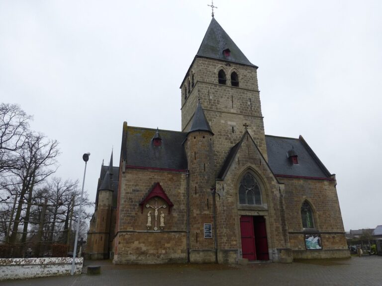
In 1942, Lieutenant Jacques Geerinckx joined the Belgian intelligence service in London and later returned to Belgium as a secret agent. He died on 14 May 1943 when his parachute failed during a drop over Soy, Luxembourg. He received an important British decoration after his death. On 23 March 1954, a square beside Terlindendreef was named after him. From 1932, the family regularly opened the park to youth groups, particularly Aalst scout groups associated with St George and St Christopher, and donated land for the nearby Church of St Anne.
In 1965, the three surviving Geerinckx brothers sold the castle to the real-estate company Etrimo. After completing its building projects, the company sold the castle and park to the City of Aalst in 1978. The city opened the park to the public and used the castle for a regional centre for economics and small businesses, as well as agricultural services. The Chamber of Commerce, VOKA, was based there until 1 June 2009. Kasteel Terlinden has been a protected monument since 2 July 1987.
Remains
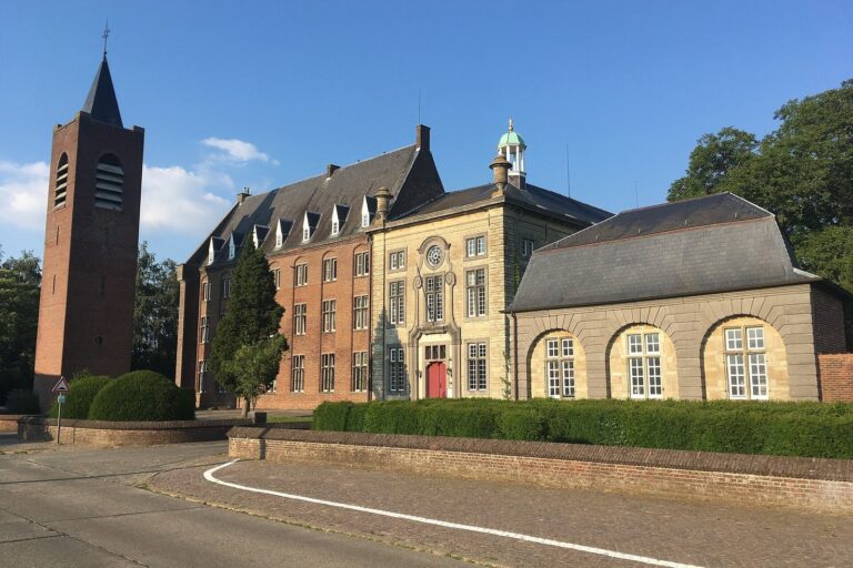
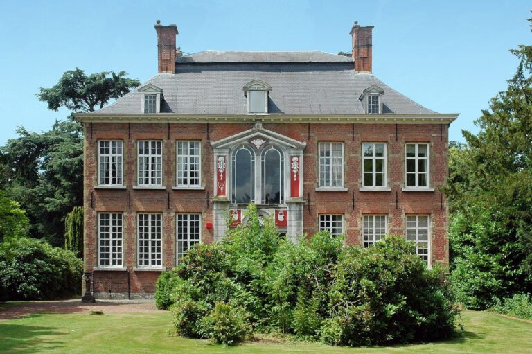
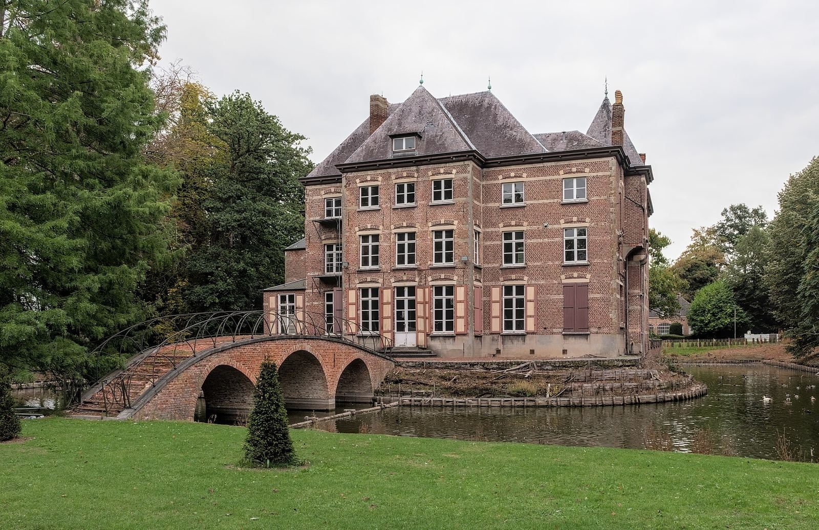
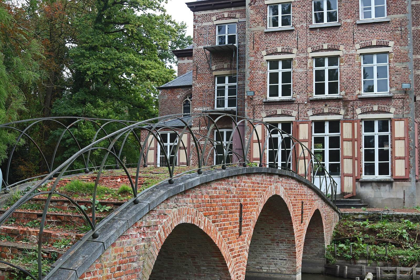
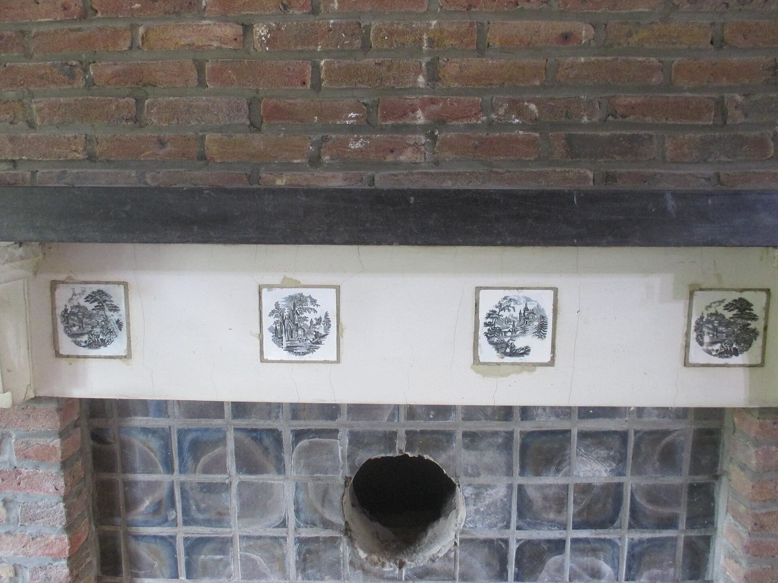
The estate lies on the western side of Aalst, at Jacques Geerinckxsquare and Raffelgemstraat, and includes a castle, park, and farm. Brick is among its building materials, and its architectural styles include Neo-traditional and neoclassical design. The castle has a U-shaped plan on a rectangular island at the centre of a rectangular pond.
Castle buildings and interior
Main building and wings
The castle’s side wings date to 1775. In 1913, a new main building was erected in Neo-traditional style, and the side wings and gatehouse were altered. Together, these works give the estate its recorded mix of architectural styles.
Entrance and orangery
A wrought-iron gate at the entrance to the drive had been purchased at the Paris World’s Fair of 1889. The orangery was adapted for use as a branch of the Aalst city library.
Portrait of Quesnel
The eighteenth-century painted portrait of Pasquier Quesnel is displayed in the castle’s large meeting room.
Farm landscape and estate extent
The earlier farm was surrounded by a water moat, with orchards, meadow, a raised earthwork mound called a motte, a hop garden, marshes, and agricultural land. A 1646 record gives the holding as about 22 dachwanden, a historical local land measure. In 1703, the moated estate and lower farm together covered about 11 hectares. The estate measured 7 hectares, 36 ares, and 26 centiares in 1910; by the sale of the castle and park to the city in 1978, their area was about 2 hectares.