Scattery Island (Inis Cathaigh): Monastery and Maritime Settlement in Ireland
Site at a Glance
- Popularity
- High
- Country
- Ireland
- Primary era
- Medieval
- Eras represented
- Medieval, Early Modern, Modern
- Civilizations
- British, English, Irish
- Site type
- Religious
- Remains
- Monastery
On this page12 sections
History
Scattery Island, also known as Inis Cathaigh, is an island in the Shannon Estuary off Kilrush in County Clare, Ireland. The early Irish Christian saint and bishop Senan founded its monastery around 535–540, in the first half of the sixth century. The community became a Christian pilgrimage centre and the seat of a bishopric.
Senan was born around 488 at Magh Lacha, near Kilrush, and died in the mid-sixth century. He was buried in the abbey church on 8 March, the day on which his feast is observed. Among his pupils were Aidan, associated with the monastery at Lindisfarne, and Ciaran, associated with Clonmacnoise. The island’s name was rendered in English first as Iniscathy and later Iniscattery, before becoming Scattery; it is linked to Cata, a monster in Irish legend.
Tradition says Senan barred women from entering the island, even though he founded two convents for nuns and died while visiting one. A related story tells how Cainnear asked to be buried near him. Senan initially refused, then buried her at low tide in the shore zone exposed and covered by the sea, a place the story treated as outside the island proper.
Viking settlement and conflict
Viking raiders attacked the monastery in the early ninth century and killed many monks. Further raids and plundering included attacks in 816 and 835. Vikings later settled on the island, at least temporarily, in the mid-tenth century, when Inis Cathaigh formed part of the Norse Kingdom of Limerick, a Viking-ruled polity centred on Limerick.
The island’s position at the Shannon Estuary’s entrance made it a point from which maritime traffic upriver to Limerick could be controlled. Brian Boru, an Irish king who became High King, held Inis Cathaigh between 972 and 975. In 977 he killed Ivar, the last Norse king of Limerick, and Ivar’s two sons on the island. The Norse presence there had prompted attacks by Irish kings.
The bishopric and medieval church
After the Synod of Ráth Breasail, an Irish church meeting, a formally established Diocese of Inis Cathaig was created in 1111. The island was plundered in 1057 and again in 1176. In 1179 an Englishman, William Hoel, desecrated its churches.
The Normans took over the church in the thirteenth century. The monastery later regained importance as a collegiate church, served by a community of clergy, during the fourteenth and fifteenth centuries. Its bishopric changed status over time. Pope Innocent VI restored the see, which continued separately under Bishop Thomas from 1358 to 1368. Its possessions were divided in 1378, and the island later became part of the parish of Kilrush. John Grene, installed as bishop in 1447, held the office until his death in 1467. The former diocese’s name survives in the Catholic Church as a titular see, a bishop’s title that does not mean the historic diocese still operates as before.
The monastery was destroyed during the Elizabethan period, the reign of Elizabeth I from 1558 to 1603. In 1588 the Spanish Armada, the fleet sent against England, lay off the island.
Defences and island settlement
A castle was built on Inis Cathaigh around 1577. During the Napoleonic Wars of 1803–1815, the Shannon Estuary was considered one of three possible French invasion points on Ireland’s west coast, prompting plans for coastal defences. On the proposal of Charles-François du Périer Dumouriez, a French general who later defected, the island was selected for one of six planned estuary batteries.
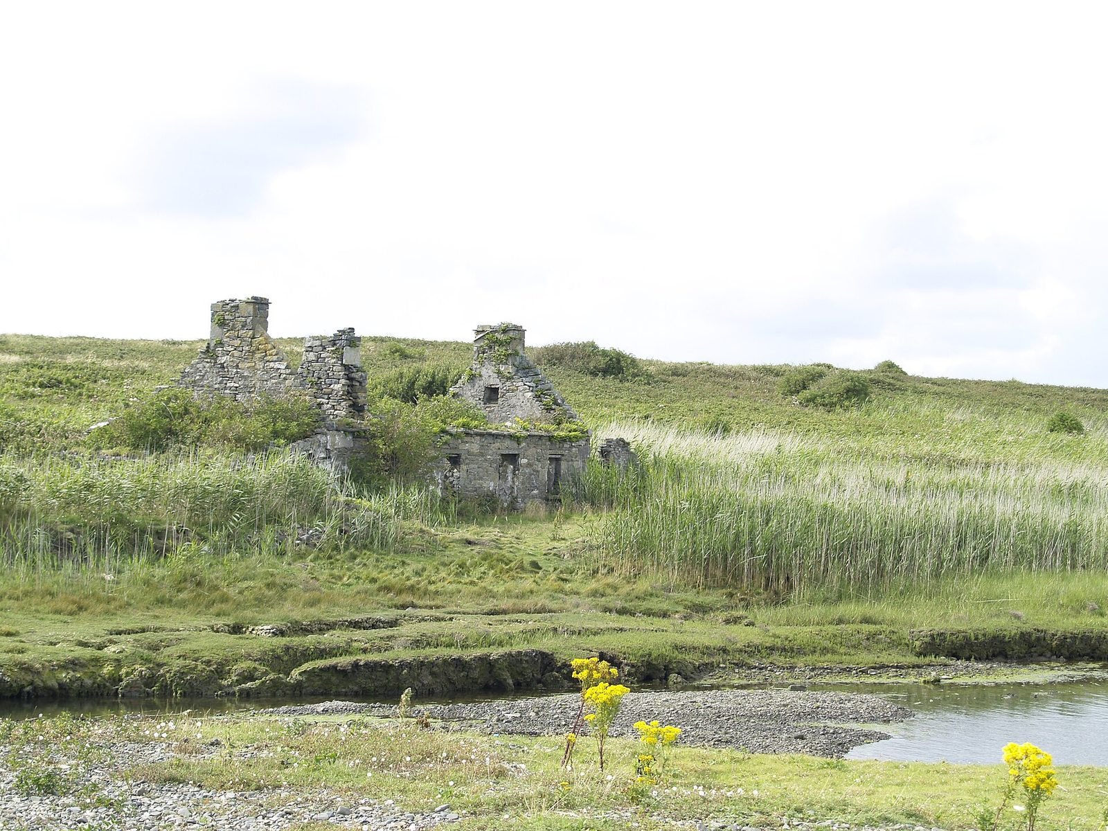
The island passed into private ownership in 1825 and became a settled community. It later housed pilots working on the Shannon Estuary and their families. After the salvage of the Windsor Castle in 1842, pilot households included the Brennan, Melican, Scanlan, McMahon, Costelloe, Hehir, Moran, Crotty and Griffin families. Pilots used currachs, small boats with wooden frames covered in canvas, to reach ships entering and leaving the estuary.
A local custom called for newly built boats to circle the island on their first voyage as an act of reverence. Sailors also took shore pebbles out to sea for protection from danger. During the Great Famine, Ireland’s catastrophic mid-nineteenth-century famine, the island’s population, including soldiers, rose from 65 in 1841 to 99 in 1851 and 139 in 1861. The number of houses grew from 9 to 24 between 1841 and 1861. Fishing and piloting, together with increased shipping connected to famine-era exports to England, are thought to have sustained employment.
The last residents left in 1969. Dúchas, an Irish government heritage service, bought the island in 1991. Most of it is now owned by the Office of Public Works, which undertakes repairs and maintenance. The island is uninhabited and is a National Monument of Ireland, a heritage site protected under Irish law.
Remains
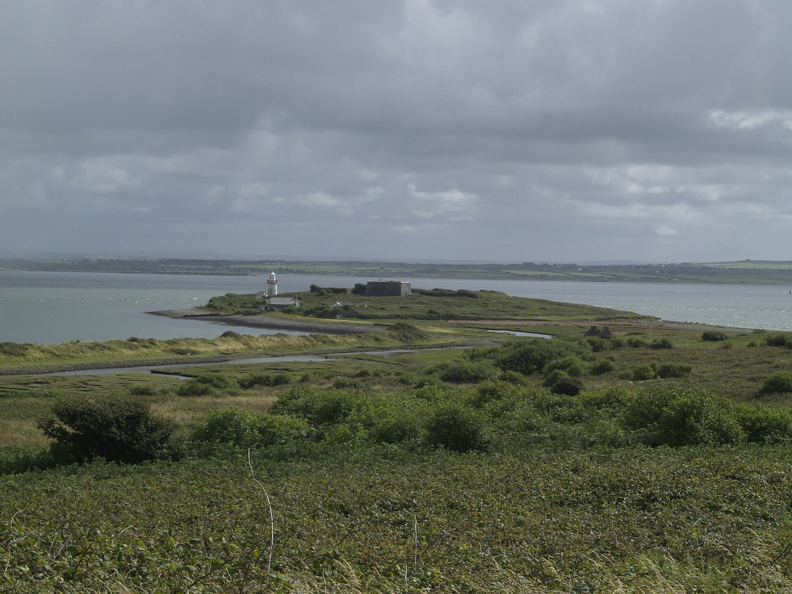
The island is about 1.6 km long and 740 m wide, covers approximately 76 hectares and rises to 14 m above sea level. Its remains include a principal group of ruined monastic buildings, churches at other points on the island, a southern artillery work and a lighthouse marking the entrance to the Shannon Estuary.
Monastic remains
Principal monastery group
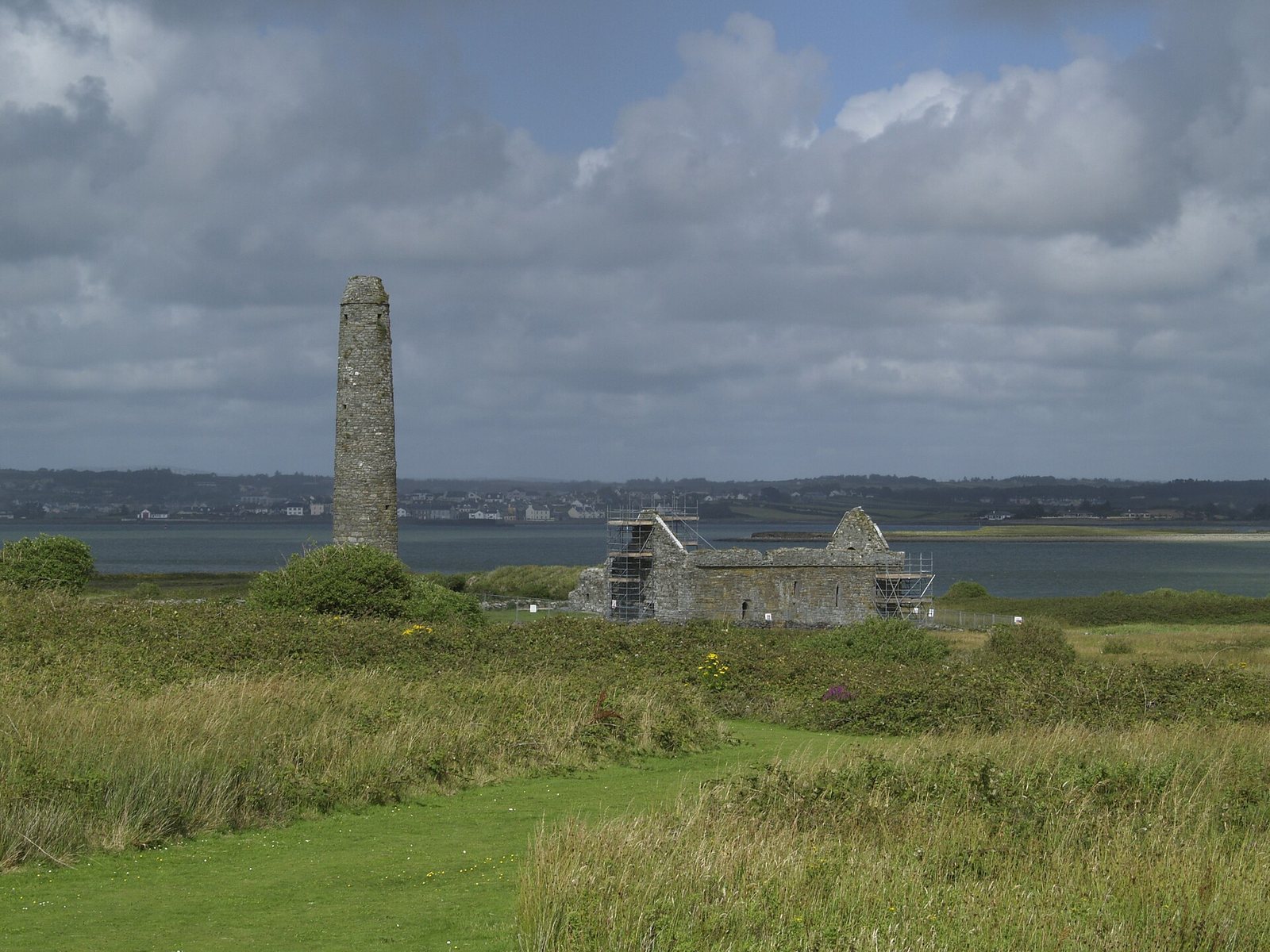
The main group includes a prayer house, a house, a cathedral, a holy well and several small churches or chapels. Its round tower stands within the group and is about 35 m high, with its entrance at ground level. The cathedral lies east of the tower. It has short wall projections at the ends of its side walls and a horizontal beam spanning an opening. Its south and east windows were inserted in the thirteenth or fourteenth century.
Other churches and carved stones
A separate twelfth-century Romanesque church, in a rounded-arch medieval style, lies north of the cathedral. On a ridge farther north stands medieval Temple Senan, with an old cross-slab and an Ogham stone. Ogham is an early Irish writing system made of strokes cut along a stone edge.
Southwest of the round tower, the Church of the Hill of Angels is heavily ruined. A medieval building was added to the older church. Its name is associated with a tradition that an angel carried Senan there before he defeated Cata. The Church of the Dead, near the eastern shore, dates to the fourteenth century.
Defences and maritime structures
Artillery battery
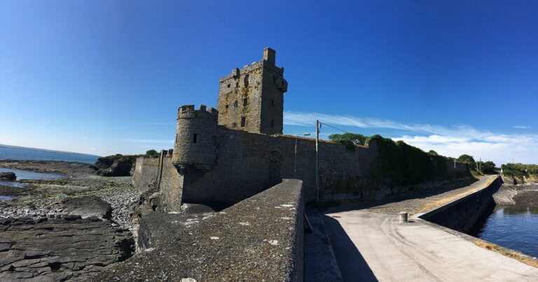
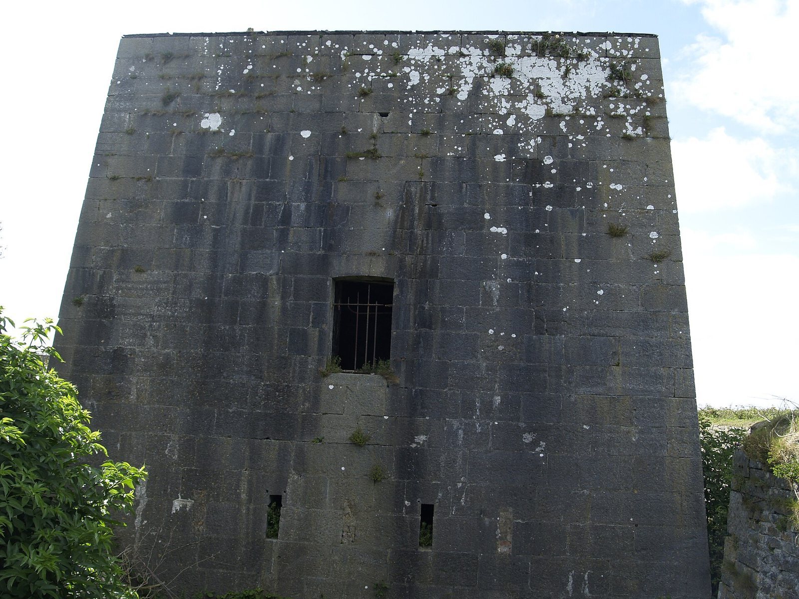
In the south of the island, a well-preserved battery has a D-shaped plan and a dry defensive ditch. Its main armament consisted of six long guns arranged along the curve. Each 24-pounder cannon was designed to fire a projectile weighing 24 pounds.
Castle
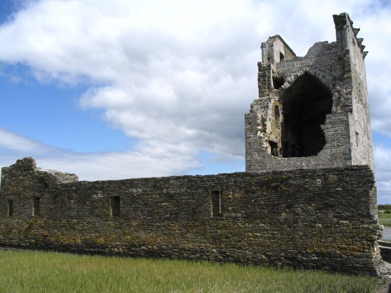
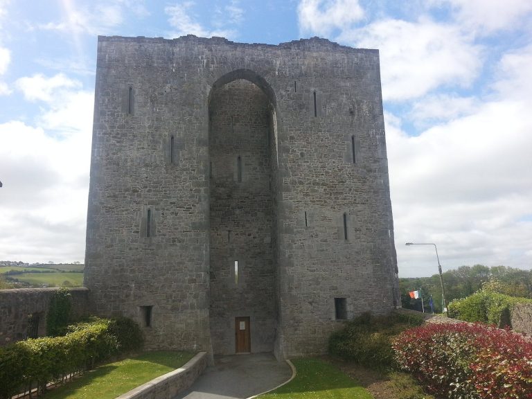
The island’s castle survives in a largely dismantled state.
Lighthouse
A lighthouse on the island marks the entrance to the Shannon Estuary.