Ilurat: A Fortified Town of the Bosporan Kingdom
Site at a Glance
- Popularity
- Low
- Country
- Ukraine
- Primary era
- Classical
- Eras represented
- Classical
- Civilizations
- Bosporan Kingdom
- Site type
- Military
- Remains
- Fortified Town
On this page15 sections
History
Ilurat was a fortified town of the Bosporan Kingdom, an ancient state centered on the Kerch Strait and neighboring parts of the northern Black Sea region. It stood near modern Ivanovka on the Kerch Peninsula in Ukraine, about 16–17 km west to southwest of Panticapaeum, one of the kingdom’s principal cities, and roughly 10 km west of the Kerch Strait. Claudius Ptolemy, a second-century Greco-Roman geographer, included Ilurat in his writings.
Settlement and foundation
Settlement traces date to the fourth and third centuries BC. The fortress itself was established in the mid-first century AD as a military post within the kingdom’s network of roads and fortifications. Alongside two other fortresses, it helped defend the northeastern Kerch Peninsula and control routes approaching Panticapaeum from the southwest. Ilurat also served as an administrative center for the surrounding lands.
Residents combined agriculture and livestock raising with crafts and food production. Their activities included processing fish, weaving, making pottery, producing iron weapons from local ore, and manufacturing bronze arrowheads. Burials in nearby cemeteries indicate that Ilurat’s administrative and military reach extended to surrounding communities. Deliberately elongated skulls found in graves have been taken to suggest that Sarmatian warriors, members of an ancient people associated with the Eurasian steppe, served in the garrison.
Expansion and destruction
The fortress walls were enlarged in stages, during the second quarter and late second century AD and again in the first half of the third century. An earthquake in the mid-third century badly damaged the settlement and its defenses. The garrison then withdrew, though a small civilian population remained.
After AD 267, worsening political conditions and raids by the Goths, a people whose migrations and attacks affected the Black Sea region in late antiquity, prompted the remaining inhabitants to flee. The settlement and fortress were destroyed in the 270s during a Gothic incursion.
Rediscovery and investigation
The site became known to modern scholars in 1827, when archaeologist Paul Du Brux made its first description. Systematic excavations began in 1947 under Viktor Gaidukevich; M. M. Kublanov, V. A. Khrshanovsky, I. G. Shurgaya, and V. A. Goroncharovsky also carried out archaeological work there. Over roughly six decades, excavations covered about a quarter of the fortress area and uncovered 26 buildings and more than 250 burials. Ilurat has federal-level cultural heritage status in Russia and national-level heritage status in Ukraine.
Remains
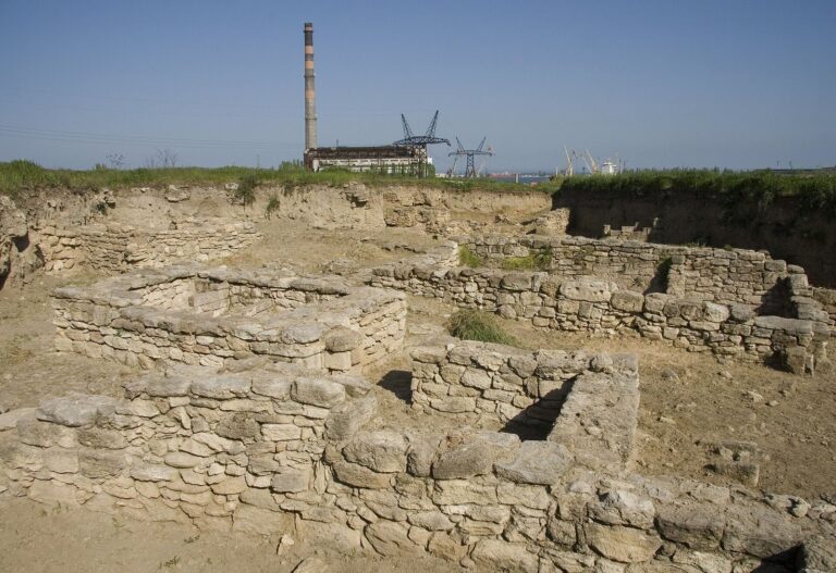
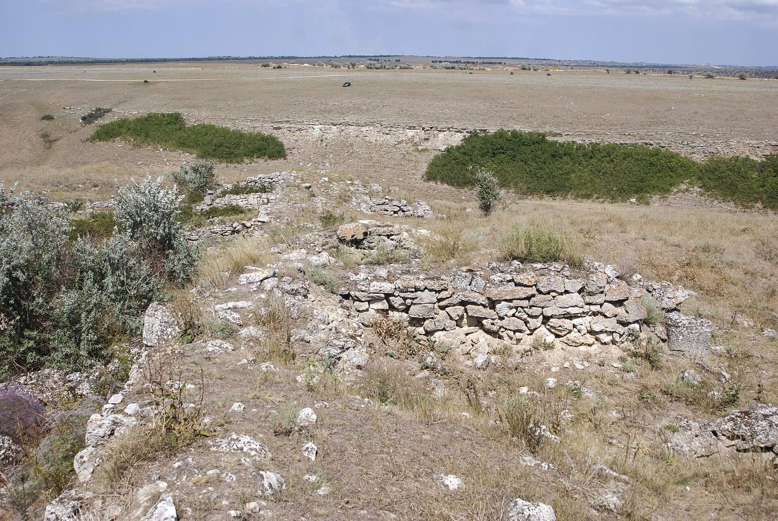
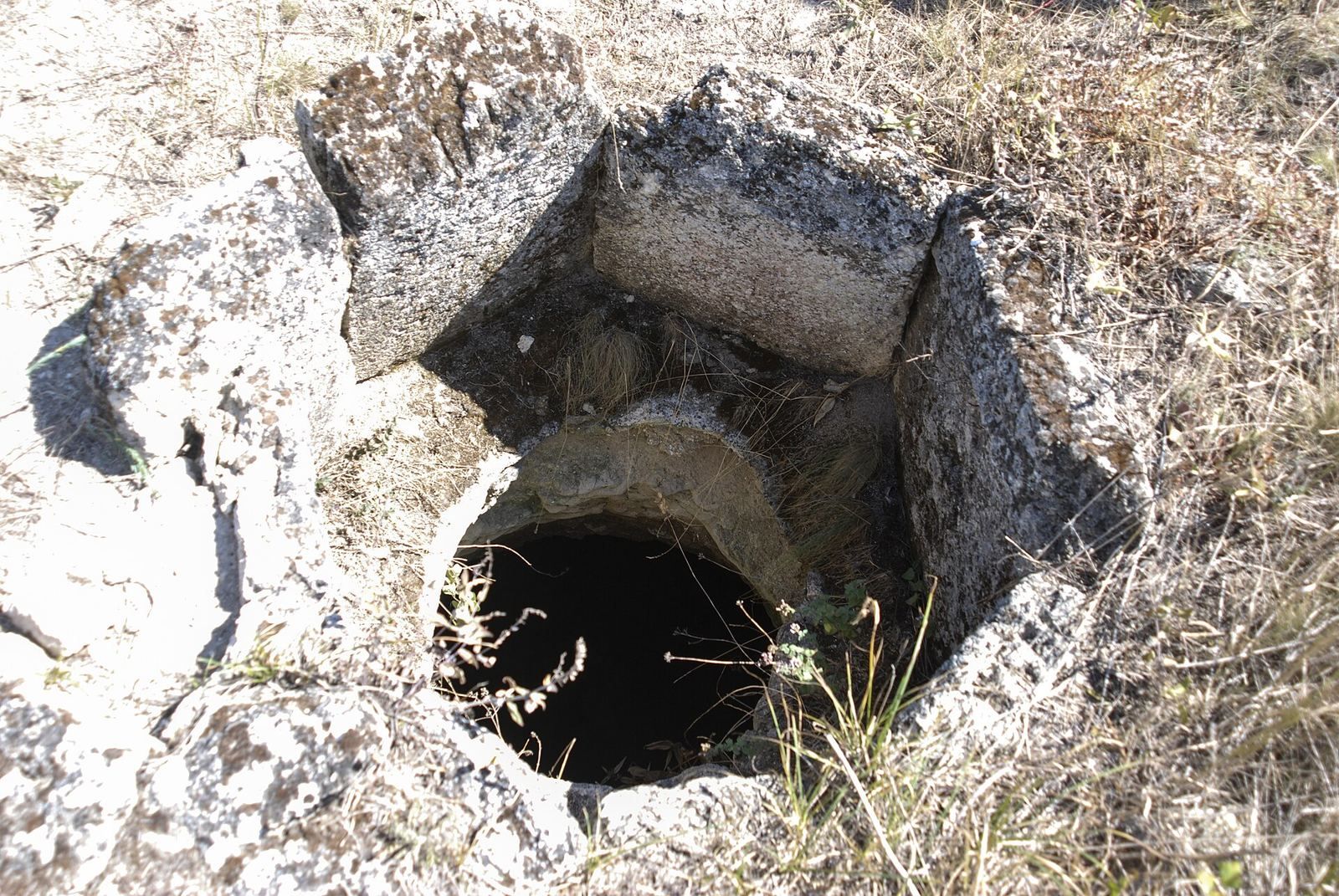
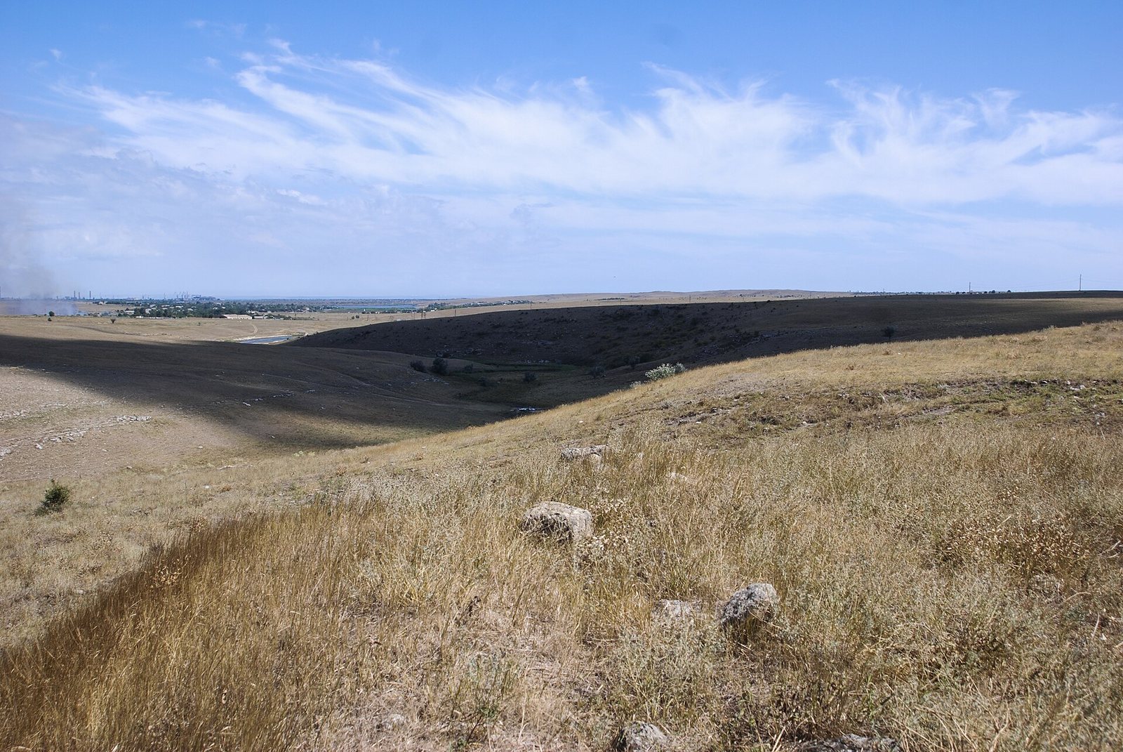
Ilurat now survives in ruins on a high plateau of about 2.5 hectares. Steep slopes bound two sides, and the northeastern and southwestern parts of the site differ in elevation by about 15 m, so the settlement was arranged across terraces. The plateau descends toward a river flowing from east to west; about 5 km away, the river reaches Churubash Salt Lake, which may have formed a sea bay in antiquity. A perimeter wall and towers enclosed a settlement laid out according to a unified plan.
Fortifications and streets
Defensive circuit
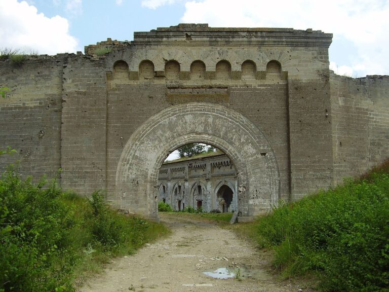
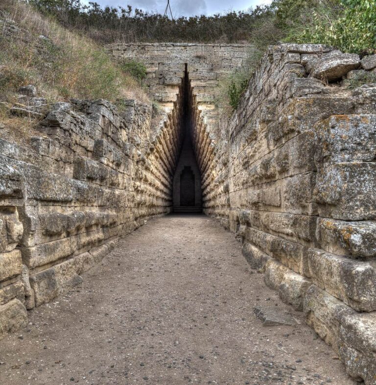
The southeastern wall extended for about 200 m and the southwestern wall for about 100 m. Before later fortification, walls along the plateau side were the thickest, reaching 2.5 m. The first wall used broad shell-limestone slabs set in clay, with rubble stone facing its inner side. Later, the double defensive wall reached 6.4 m in thickness, while expanded sections exceeded 6 m and reached as much as 8 m. Six towers and an external ditch formed part of the defenses, and gateways stood midway along wall sections. Excavations also revealed a concealed passage cut through rock between the fortress and the river.
Street plan
Paved streets followed a regular pattern. Two broad main streets crossed at right angles, with several narrower streets connecting them. The layout was intended to allow soldiers to reach threatened sections of the defenses quickly during a siege.
Buildings, ritual, and finds
Dwellings
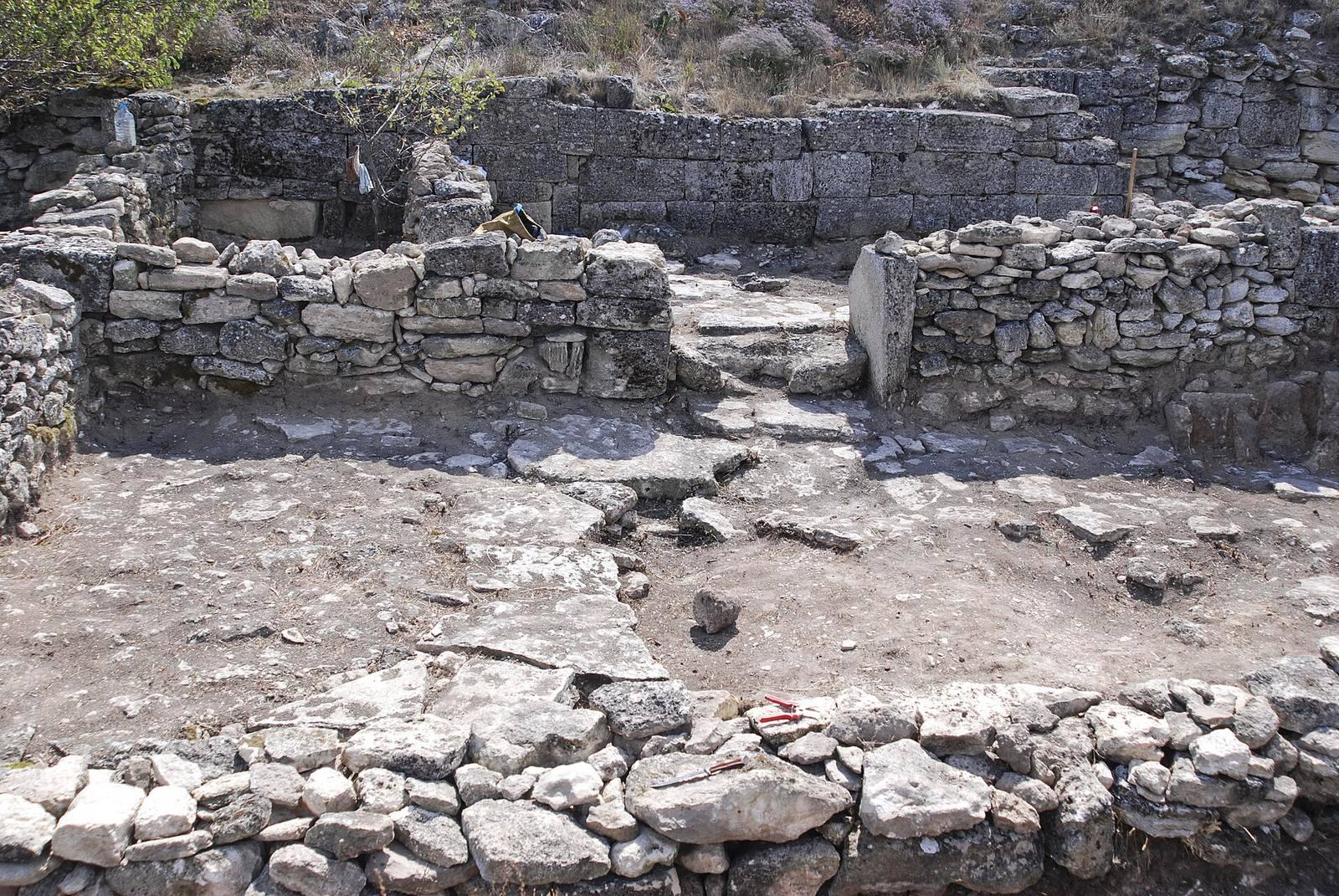
Five dwelling types have been identified, distinguished by the arrangement of rooms around a paved courtyard. Each included a large room with household installations that formed a substantial part of the house. Storage pits and agricultural tools provide further evidence of domestic and farming activity.
Ritual and production features
Several altars and sanctuaries stood within the settlement. A wine press also operated there, providing physical evidence of local wine production.
Objects from the settlement
Finds include local fired-clay figures of Aphrodite Urania, a form of the Greek goddess associated with heavenly love, shown enthroned. A previously unknown coin valued at two denarii, an ancient Roman coin denomination, bore the name of Bosporan king Sauromates II and dates to the late second century AD. A gold medallion depicting Aphrodite dates to the mid-third century, as does a hoard of 66 Bosporan coins from the reign of Reskuporis V.
Other finds include Bosporan and Pontic amphorae, two-handled vessels used to store and transport goods, along with kitchen vessels, mostly of local manufacture, and numerous other ceramic objects.
Cemeteries
Upper cemetery
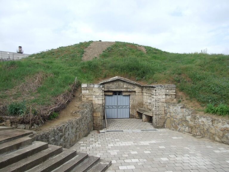
The upper cemetery lies about 200 m southeast of the settlement and was known in the nineteenth century. Its 210 graves had been plundered in antiquity. Burial forms include earth graves; rows of burials in rooms created during stone quarrying; underground tombs with entrance passages and stone burial beds; and one- or two-chamber tombs lined with carefully dressed limestone slabs. Some tombs had earth mounds as much as 3 m high.
Finds include amphorae dating from the fourth to the first centuries BC, fragments of Megarian bowls, Hellenistic drinking vessels decorated in relief, and a Pontic copper coin from the 70s BC. Together, these objects indicate activity in the area before the fortress was founded. Roman-period grave goods include red-gloss pottery and earthenware, metal vessels, weapons, Sarmatian-style mirrors, and ornaments mainly of bronze, as well as silver and gold. Nearby traces of funerary feasts include ceramic, fired-clay, bronze, and iron fragments. Among them was a Bosporan fired-clay figure of Fortuna, the Roman goddess of fortune and luck, measuring 62 cm in height.
Lower cemetery
The lower cemetery lies northeast of the settlement, within modern Ivanovka, and was discovered in the 1930s. Its burials date from the first to the third centuries BC, and 47 tombs had been uncovered by the 1990s. Most were stone-lined graves covered with several limestone slabs. Female burials contained beads of glass, chalcedony, and agate, bronze Sarmatian-style mirrors, glass and red-gloss vessels, and rings. Goods in male burials included long swords, daggers, spears, and vessels for drinking wine.