Holtun: A Maya Archaeological Site in Guatemala
Site at a Glance
- Rating
- 5
- Popularity
- Very Low
- Country
- Guatemala
- Primary era
- Classical
- Eras represented
- Classical, Medieval
- Civilizations
- Maya
- Site type
- City
On this page16 sections
History
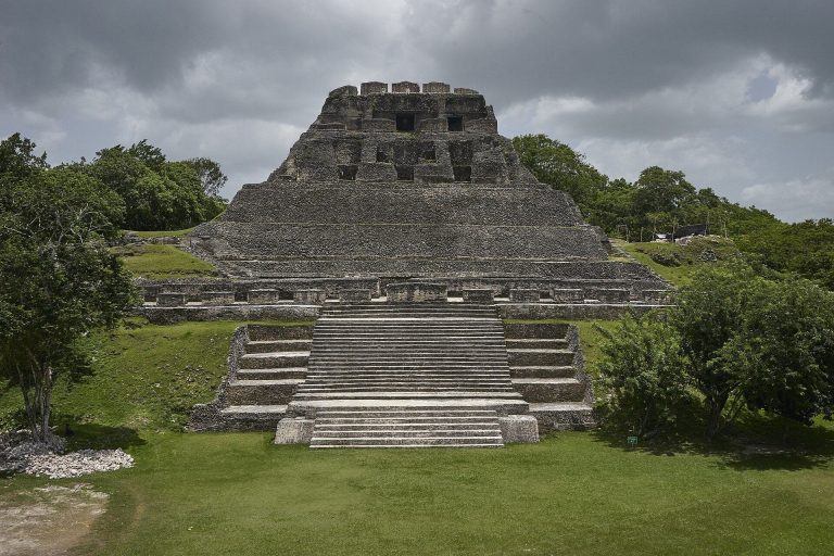
Holtun is a Maya archaeological site in Flores, Guatemala, occupied from the Middle Preclassic through the Late Classic period, phases used to organize Maya history. Evidence from looters’ trenches and excavations in its E Group also points to Early Preclassic activity on the plateau. For much of its history, Holtun had limited political influence and depended on Mutul, the Maya kingdom centered at Tikal.
Occupation and political change
Pottery associated with Late Preclassic use of the Triadic Acropolis belongs to the Chicanel tradition, a type of pottery used to identify archaeological phases. Early Classic occupation is represented in elite residential groups C, D, E, and F. Changes to buildings in the Late Classic indicate that some structures were adapted for residential use. A small amount of Terminal Classic pottery comes from the main plaza near Group C.
Holtun’s economic position improved late in the Classic period as neighboring political centers weakened. Its rulers built a ball-game court during this phase, a purpose-built space for the Mesoamerican ballgame that suggests political ambitions. Holtun supported Mutul during the kingdom’s second rise in the eighth century. After Mutul declined in the 820s and 830s, Holtun remained a city-state, but it too weakened toward the end of the ninth century.
Rediscovery and archaeological work
The settlement was first called La Máquina, after a nearby village. Agustín Estrada Monroy, then director general of Guatemala’s Directorate General of Cultural and Natural Heritage, gave it the name Holtun, meaning “stone head” in Itza Maya. In February 1994, the Guatemalan Institute of Anthropology and History received notice of looting at the previously unrecorded site. When investigators arrived, the looting had been under way for an estimated six to eight months and had damaged major architecture. Guatemalan authorities officially recognized the site that year.
The institute’s Department of Prehispanic and Colonial Monuments surveyed Holtun in June and July 1994. Archaeologist Erick Ponciano made the first official reconnaissance and site map. Field seasons in 1998 and 2001, led by archaeologist Vilma Fialko and carried out by personnel of the Yaxha project, examined evidence from earlier looting, including architectural masks and underground chambers.
The Holtun Archaeological Project began in 2010 under archaeologists Brigitte Kovacevich and Michael Callaghan of Southern Methodist University. Its first season surveyed the site and started a new map. Test pits in 2011 investigated pottery sequences and settlement patterns in relation to changes in plaza architecture. In 2012, researchers analyzed pottery, obsidian, and carbon samples for dating; additional test pits and mapping followed in 2014. Survey totals varied: the 1994 map recorded 86 structures in four groups, A–D; a later revision listed 115 structures in 14 major groups; and project mapping identified more than 200 structures and more than 27 underground chambers. Holtun is organized into six architectural groups. Research has also been constrained by divided municipal and private ownership, cultivation, and deforestation. Maize, beans, and plantain are grown on the surrounding land.
Remains
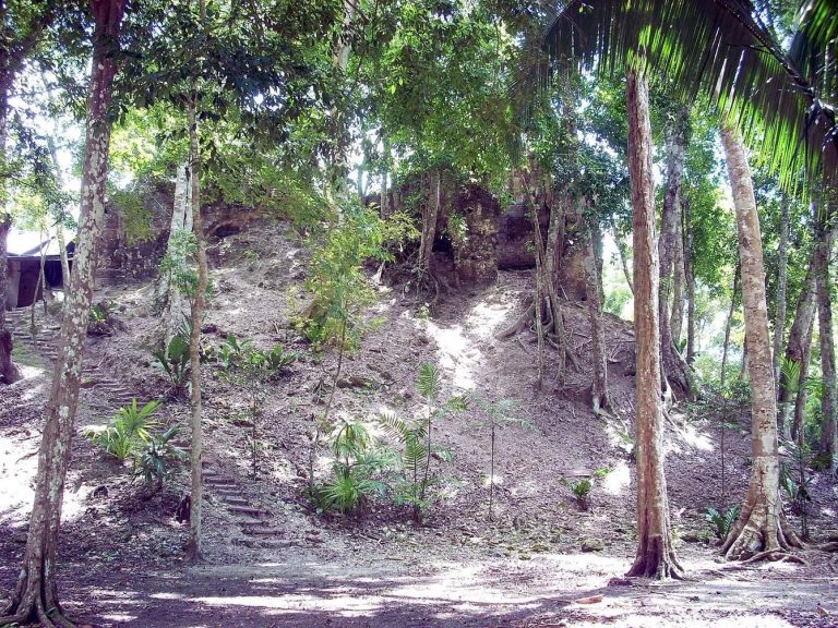
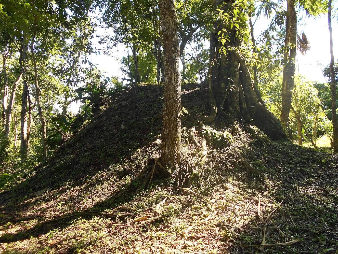
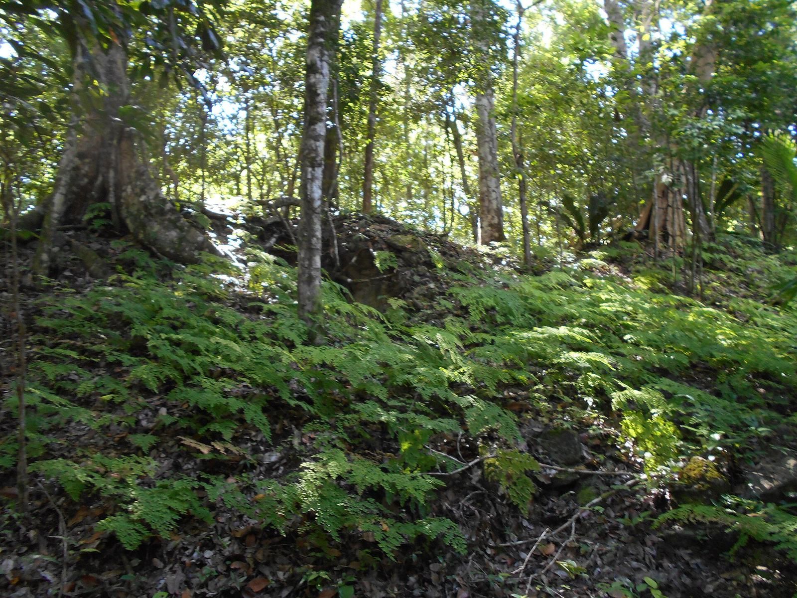
Holtun’s buildings extend mainly along a north–south axis across a hilltop on a karst ridge, a raised area shaped by the dissolution of soluble bedrock. The site lies about 300 m above sea level in broken, hilly terrain, roughly 1.3 km south of La Máquina village. Four of its six architectural groups occupy hilltops; two are in lower, dry areas beyond seasonal flooding. Seasonal streams border the site to the south, east, and west. Streams to the north drain toward Laguna Yaxha, while southern watercourses flow toward Lake Camalote.
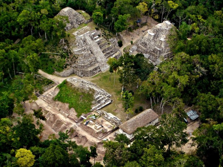
Groups A and B form the ritual and administrative center, while groups C–F contain residential buildings, many associated with local elites. A ball-game court lies nearby. The site includes a Triadic Acropolis, a raised complex with a principal building flanked by two related structures, and an E Group, an arrangement of a western pyramid facing a long eastern building across a plaza. These architectural forms are associated with Preclassic complexity in the Maya lowlands. Underground chambers called chultuns, often used for storage, occur in nearly all the groups.
Groups A and B
Group A platforms
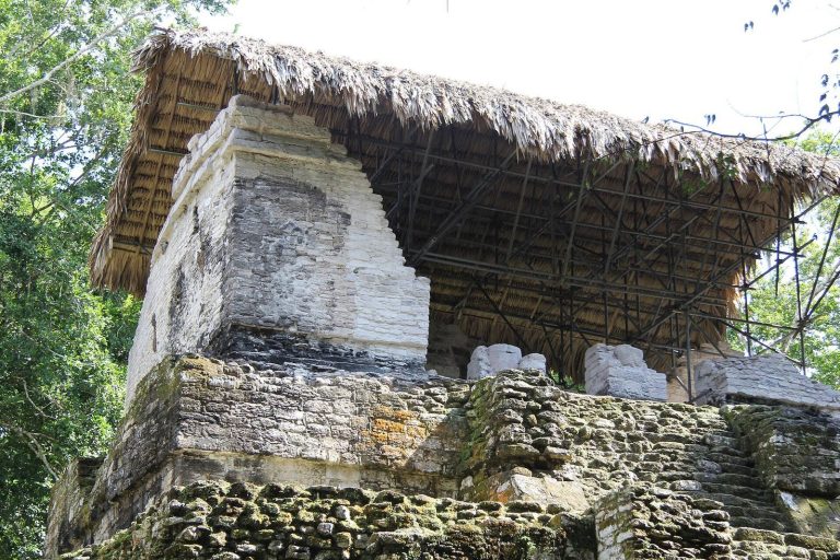
Group A, the largest group, occupies Holtun’s northern end. Its basal platform, Structure A-1, measures about 50 by 70 m and stands 8 m high. It supports Structure A-2 and Structures A-3 and A-7. The latter two flank a patio of about 144 m² and restrict access across the platform. A-2 is an upper platform measuring about 30 by 20 m and 8.5 m high. Its south-facing complex is a Late Preclassic triadic pyramid. The platform supports Structures A-4, A-5, and A-6 around a second patio of about 108 m²; each of these buildings is about 2.4 m high.
Sculpted masks on Structure A-2
Two prominent masks decorate A-2’s south face. In the larger group of mask remains associated with the building, the masks appear to flank its principal stairway. A section about 4 m below the sloping stone face of the final construction stage has traces of red pigment on its plaster. The exposed part measures 90 cm high and 12 cm thick and is inclined at 60 degrees.
Another mask area lies about 8 m inside the main looters’ tunnel. Three masks made from limestone blocks are set at a 45-degree angle and covered with stucco, a plaster coating, about 30 cm thick. The lowest is an animal-shaped mask with feline features, measuring 87 by 86 cm. Directly above it is a well-preserved human-shaped mask measuring 130 by 86 cm. It has circular eyes, a prominent upper lip, a flattened nose, and a downturned mouth. Stucco fragments from a third mask indicate that it was about 1.6 m high.
A third area, about 16 m into the tunnel, contains two of the site’s best-preserved masks, both inclined at 45 degrees. The lower, an animal-shaped mask made from limestone blocks, measures 50 by 48 cm. Its plaster coating is about 60 cm thick, with traces of red, cream, and black pigment. The human-shaped mask above it has a 42 cm plaster coating, and part of its right cheek remains exposed. Red, cream, and black pigment survives there, along with orange spots in a band around the cheek resembling jaguar markings. Holtun is the southernmost known site in the Maya lowlands with masks of this kind.
Structure A-8 and eastern mounds
Structure A-8 is a large pyramid 34 m south of A-1, measuring 55 by 95 m. It supports Structures A-9 through A-20 around a courtyard of about 1,071 m². These buildings average 8.5 m in base width and 2.7 m in height; A-9 is the largest. East of A-8, Structures A-21 through A-24 are low mounds averaging 1.2 m high.
Group B plazas
Group B lies 60 m south of Group A and consists of two small building clusters around separate plazas, with several underground storage chambers. Structures B-1, B-2, and B-3 enclose an interior patio on its north, west, and south sides. Each measures 5 by 10 m. A small basal platform, B-4, stands to their east.
The southern plaza covers 480 m². Structure B-5, on its north side, measures 7 by 12 m and stands 2.6 m high. B-6 and B-7 are on the east side, B-8 is a long building on the south, and B-9 and B-10 occupy the west side.
Group C
Northern building complex
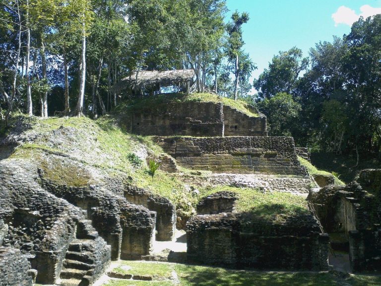
Group C lies 160 m southeast of Group B and contains 29 structures, most clustered on an artificially levelled hilltop. C-1 is a small mound on the group’s north side, near an underground chamber. Structures C-2 through C-5 form a compact, T-shaped complex measuring 35 by 24 m and 6.2 m high. On its east side, C-6 measures 22 by 6 m, while C-8 measures 6 by 12 m and stands 2.6 m high. C-7, on the south side, is the group’s largest building, measuring 20 m square and 6.3 m high.
Southern buildings and courtyard cluster
South of the group, Structures C-15 through C-21 are long buildings, some as much as 47 m in length. They appear to form parapets enclosing an avenue toward another cluster. Structures C-22 through C-29 occupy an artificially levelled platform beside a possible causeway running south toward Group D. The buildings surround a courtyard of about 140 m². C-22 and C-25 are the larger mounds, each 6 m in diameter and 3.6 m high.
Group D
Causeway-side courtyard
Group D lies south of Group C and connects to it by a causeway about 200 m long and 10–12 m wide. Beside the causeway, Structures D-1, D-2, and D-3 enclose a courtyard of about 100 m² that opens to the east. D-2 stands on the south side and measures 5 by 6 m and 3.2 m high.
Central plaza
Structures D-4 through D-10 are arranged around a central plaza of about 735 m², supported mostly by Structure D-11. D-4, on the north side, measures 10 by 12 m and stands 4.4 m high. On the west side, D-6 measures 10 by 20 m and 3.8 m high; D-9, the group’s largest building, measures 23 by 13 m and 4.6 m high. D-10, also on the west, measures 10 by 6 m and 1.7 m high.
Southern platform cluster
D-11 is an artificial platform supporting the group’s southernmost building cluster, reached by the causeway. Structures D-12, D-13, and D-14 form another plaza group on the platform. Its plaza covers 120 m² and opens to the south.