Harburg (Eichsfeld): A Medieval Hilltop Castle in Thuringia


Site at a Glance
- Rating
- 4.5
- Popularity
- Very Low
- Country
- Germany
- Primary era
- Medieval
- Eras represented
- Medieval
- Civilizations
- Holy Roman Empire
- Site type
- Military
- Remains
- Castle
On this page10 sections
History
Harburg (Eichsfeld), also called Horeburg, is a medieval hilltop castle site in Germany near Haynrode, in the Eichsfeld region of Thuringia. It was probably built around 1073 to 1074 as a fortified counter-position to the neighboring Hasenburg. The castle belonged to the medieval system of ministerial rule, in which dependent military and administrative servants of a ruler or church lord administered fortresses and could rise to influential positions.
Origins and archiepiscopal service
Harburg was recorded as Horeburg around 1120. It probably belonged to the margrave of Stade, since Richardis of Stade transferred it, together with Gerode Abbey, among possessions to Mainz Archbishop Adalbert I. The castle was a ministerial stronghold rather than the residence of a local noble family. Its original castle district was limited to the fortress itself. Between 1133 and 1148, high-ranking burgraves appear as archiepiscopal officials, but they held the title without creating a larger hereditary lordship around the castle.
In 1139 Harburg was granted as a fief to the Counts of Gleichen. The recorded lords and ministerials associated with the castle included Alberich of Wegewardesburg and his sons, a count of Weimar, Friderich de Horeburg, Count Ernst I of Gleichen, Wigger of Wartberg, Rudeger, Friedrich and Bruno of Horeburg, Count Erwin II of Gleichen, Hugo de Horeburg, Friedrich of Rosdorf, Dietrich of Hardenberg, Wetzel of Rengelrode, Friedrich of Worbis, Siegfried IV of Bültzingslöwen, Hermann called Rieme, and Johann of Wintzingerode.
Destruction and changing lordship
In 1165, Harburg and Rusteberg Castle were destroyed during the conflict between Mainz Archbishop Konrad and Emperor Frederick Barbarossa, the Holy Roman emperor. Harburg was subsequently transferred to the Landgrave of Thuringia as a jointly held possession.
The castle became involved again in the Mainz succession conflict that followed the death of Archbishop Johann of Luxembourg-Ligny in 1373. Landgrave Balthasar of Thuringia took control of Harburg. Citizens of Duderstadt and Heiligenstadt, together with Mainz vassals, captured Harburg and Worbis and handed them to Adolf of Nassau, the bishop of Speyer who had been elected by part of the Mainz cathedral chapter as administrator of the archdiocese. Mainz later asserted possession of both sites.
The Amt Harburg and its final decline
Harburg and Worbis formed an administrative association from 1350. An Amt, meaning a territorial administrative and judicial district, took shape around Harburg, which served as the seat of the Amt Harburg from 1341 to 1574. The district included Bernterode, Breitenworbis, Kirchworbis, Gernrode, Neustadt, and the later deserted settlements of Heppenrode, Hugenworbis, Neiderode, Nottenrode, Wendelrode, Hüchelheim, and Herdigerode.
In 1381 Adolf of Nassau pledged the Amt Harburg and the neighboring Amt Worbis to Siegfried of Bültzingslöwen for almost two centuries. The lords of Bültzingslöwen held Harburg as a pledge from 1381 to 1574. During the German Peasants’ War, a widespread uprising of 1525, insurgents from the forces of the radical preacher and leader Thomas Müntzer and Johannes Pfeiffer captured Harburg between approximately 5 and 8 May and largely destroyed it.
Archbishop and Elector Daniel Brendel von Homburg ended the Bültzingslöwen pledge in 1574 during the Counter-Reformation, a Catholic movement to consolidate and reform church authority in response to Protestant change, and appointed civil officials. The Amt Harburg was then merged with the Worbis court, and administrative functions moved to Worbis. Judicial business was apparently conducted there after Harburg’s destruction. A bailiff, Christoph Buchart, was still recorded at Harburg in 1622, but the castle later fell into complete decay. Stones were reused for Bültzingslöwen manor houses, Haynrode church, and the administrative office building in Worbis.
Since 2013, conservation work has secured surviving masonry and exposed additional remains in the core castle. Harburg is now a protected archaeological monument.
Remains
Hilltop setting and defenses
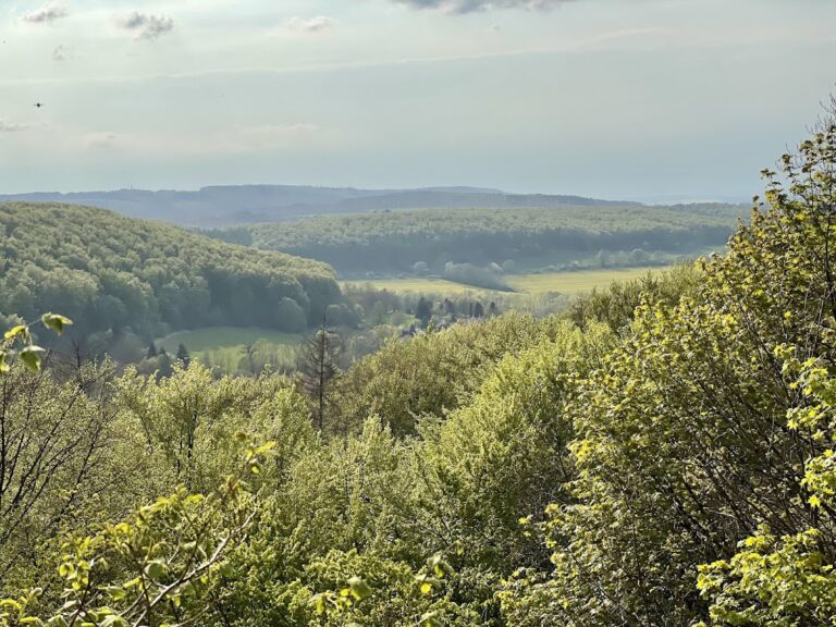
Harburg occupies the summit of the conical, wooded Harburg or Haarburg mountain, about 453 metres above sea level and approximately 1.2 kilometres southeast of Haynrode. The mountain is a witness mountain, an isolated remnant of a former, more extensive rock layer, formed here from Muschelkalk, a shell-bearing limestone formation, above a Buntsandstein landscape of red sandstone associated with karst formations and sinkholes. The mountain chain from Hubenberg to the Ohmgebirge formed a historical boundary between the Eichsfeld and neighboring territories. Harburg’s mountain stands beside the 453-metre Hubenberg, while the 463-metre Himberg of the Ohmgebirge lies to the west.
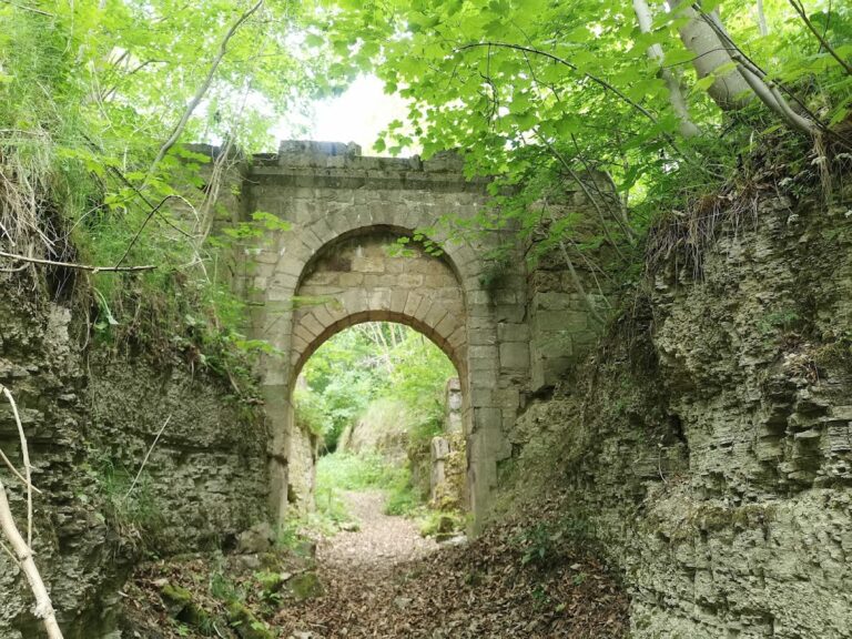
The core castle has an oval plan measuring approximately 27 by 20 metres. Two ramparts and outer ditches on the eastern side protected it from the plateau. An outer bailey, the fortified area outside the main castle, measured approximately 15 by 12 metres and lay to the east. A lower terrace on the northern side was also enclosed by a defensive rampart and indicates further buildings. The surviving masonry is fragmentary, consisting mainly of low or partial walls within woodland used for forestry.
Core castle buildings
Palas
A partly demolished stone building in the core castle measures approximately 8 by 17 metres and survives in substantial fragments. Masonry exposed during conservation has been identified as part of the palas, the principal residential and representational building of a medieval castle. Its remains form one of the clearest surviving elements of the central enclosure.
Keep, second tower, and bulwark
Conservation work has also made the ground plans of the keep, a fortified tower used chiefly for defense and as a stronghold, a second tower, and a bulwark visible. These plans clarify the arrangement of the castle’s defensive structures within the oval core, although the surviving remains are largely partial and low.
Cistern
A depression visible as late as the 1960s was interpreted as a cistern. Together with the exposed wall plans, it contributes to the understanding of how the core castle was organized and supplied.
Nearby sites