Grain Fort: A Victorian Coastal Artillery Fort on the Isle of Grain


Site at a Glance
- Rating
- 4.4
- Popularity
- Very Low
- Country
- United Kingdom
- Primary era
- Modern
- External website
- Open
- Eras represented
- Modern
- Civilizations
- British
- Site type
- Military
- Remains
- Fort
On this page12 sections
History
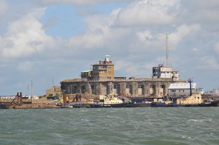
Grain Fort is a former artillery fort in the United Kingdom, built on the Isle of Grain between 1861 and 1868 as part of the Victorian coastal-defence programme. It defended the confluence of the Medway and Thames during a period of tension and naval arms competition between Britain and France. Its position reflected concern for the Thames as a major trade route linked with the victualling yards at Deptford, Woolwich Arsenal, the shipbuilding yards at North Woolwich, and the magazines at Purfleet.
Construction and coastal defence
The fort followed the recommendations of the Royal Commission on the Defence of the United Kingdom, a government-appointed body that assessed Britain’s coastal and national defence needs. Its 1860 report called for obsolete forts to be upgraded or rebuilt and for new defences to be constructed at vulnerable strategic points. About 70 forts and batteries were subsequently built around the English coast.
Grain Fort was designed to support Grain Tower, an earlier offshore battery about 1 kilometre away, and Garrison Point Fort at Sheerness on the opposite side of the Medway. A proposal to convert Grain Tower into a fully casemated fort was abandoned because of its cost. Instead, the new land fort was built at Grain while Garrison Point was upgraded.
Rearming and wartime use
The fort was repeatedly altered as artillery technology developed. Its original rifled muzzle-loading guns, large weapons loaded from the front whose rifled barrels improved accuracy, were replaced by breech-loading guns, which were loaded from the rear. By the end of the nineteenth century, the armament comprised two 9.2-inch Mark X guns and two 4.7-inch guns, while the number of gun emplacements had been reduced from 13 to five in 1895.
Grain Fort remained in use during the Second World War. Two 6-inch close-defence guns were enclosed in bomb-proof shelters, while fire-control positions and spigot mortars were installed at both ends of the terreplein, the level platform behind or within the ramparts used for guns and related equipment.
Two associated batteries were constructed nearby. Grain Wing Battery was built between 1890 and 1895 about 50 metres south of the fort, while Dummy Battery was built between 1861 and 1868 about 1 kilometre south of it. Both were disarmed after relatively short periods of use, adapted for other purposes, and later decommissioned and sold along with the fort.
Decommissioning and protection
Grain Fort was decommissioned in 1956, when the United Kingdom abandoned its coastal-defence programme. It was sold to the local authority five years later, and its above-ground buildings were demolished during the 1960s. The surviving remains now form part of the Isle of Grain Coastal Park, owned by St James Parish Council and managed in partnership with the Friends of the Coastal Park.
Grain Fort forms part of a scheduled monument designated in 1976 to protect the coastal artillery defences immediately east and southeast of Grain village. This protection covers the fort and its associated defensive remains as part of a wider military landscape.
Remains
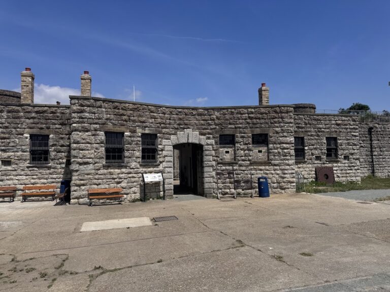
Grain Fort was built on a heptagonal plan from concrete, granite, and brick. Its principal defensive works consisted of an earthwork carrying open gun emplacements, a central keep, ditches, protected passages, and underground magazines. The surviving earthworks and brick revetment define the former shape of the fort, while a path crosses the site and links the concrete aprons of the infilled gun emplacements.
Central keep and ditches
Keep
A semi-circular brick keep once stood at the centre of the fort on a north-south alignment. The keep, a fortified central building used for accommodation and defence, provided barrack space for the garrison. Loopholes in its front wall allowed musket fire, while crenellations along the rear side protected the main entrance and the fort’s gorge from attack from behind. The keep has been demolished, and the spaces formerly occupied by surface buildings were filled with rubble and rubbish.
Ditches and caponiers
A ditch lay in front of the keep and was entered through a gate at the rear of the fort. Four caponiers, protected structures projecting into a ditch so that it could be defended, guarded the fort’s angles and were reached through passages in the underlying structure. An inner ditch surrounded the keep. Three further caponiers and two demi-caponiers, which defended sections of a ditch, connected this inner defence with the earthwork ramparts and the keep. A bridge linked the keep with the terreplein.
Gun positions and underground works
Gun emplacements
The original fort contained 13 open gun emplacements set on the earthwork. Their initial armament comprised six 11-inch guns, four 9-inch guns, and three 64-pounder guns. Later changes replaced these weapons with two 9.2-inch Mark X breech-loading guns and two 4.7-inch guns, while the 13 emplacements were reduced to five in 1895. Their concrete aprons remain visible within the site, connected by the present path.
Magazines and tunnels
Magazines and connecting passages lay beneath the gun positions, forming part of the fort’s underlying structure. The magazines and tunnels survive, together with many reported fittings. The front caponiers are buried but remain mostly intact, preserving elements of the protected circulation and ditch-defence system below ground.
Second World War defences
The later close-defence arrangements included two 6-inch guns enclosed in bomb-proof shelters. Fire-control positions and spigot mortars were placed at both ends of the terreplein. A spigot mortar used a fixed central post to support the weapon, providing a later layer of defence within the fort’s altered military layout.
Nearby sites