Gibelacar: A Medieval Fortress in Lebanon
Site at a Glance
- Country
- Lebanon
- Primary era
- Medieval
- Eras represented
- Medieval
- Civilizations
- Mamluk
- Site type
- Military
- Remains
- Castle
On this page9 sections
History
Gibelacar is a fortress in Lebanon, built around AD 1000 and repeatedly contested by regional rulers. Arabic tradition attributes its founding to Muhriz ibn Akkar, whose family held it until 1019, when the Fatimid caliph al-Hakim seized it. The Fatimids were a caliphal dynasty that ruled Egypt and parts of the Levant. During a revolt against them in 1024, Salih ibn Mirdas captured the fortress. Fatimid authority returned in 1033, after the Fatimids defeated the Kilab tribe; Salih had died at the Battle of al-Uqhuwana in May 1029. The Seljuk ruler Tutush I took Gibelacar in 1094.
Crusader and Zengid rule
In 1109, following the Crusaders’ capture of Tripoli, Tughtakin of Damascus agreed to hand the fortress to Bertran, Count of Tripoli, in exchange for the Crusaders ending their planned attack on Rafaniyya. The Puylaurens, a noble family of the Latin Christian County of Tripoli, held Gibelacar for much of the first half of the 12th century, using it as their family seat. Crusaders called it Guibelacard by 1143, while an edict formally named it Gibelacar in 1170.
Nur al-Din Zengi, a leading ruler of the Zengid dynasty, which became a major power in Syria and northern Mesopotamia, attacked the fortress in 1165 or 1166 and had captured it by about 1167. Crusader forces recovered it in January 1169, or between December 1169 and January 1170, and imprisoned its Zengid governor, Qutlug al-Alamdar. A major earthquake began on 29 June 1170, destroying the fortress, and aftershocks continued until 24 July. While Raymond III, Count of Tripoli, was captive, Amalric I of Jerusalem acted as regent for the county and assigned the fortress to the Knights Hospitaller, a religious and military order, with instructions to restore its defenses. The arrangement may not have been formal. Raymond declined to confirm Hospitaller control after his return and gave the fortress to a noble family loyal to him; it may instead have remained directly under the County of Tripoli.
Gibelacar apparently escaped capture during Saladin’s campaigns in Syria in 1188. At the start of the 13th century, Raynouard III, lord of Nephin, gained control through his marriage in 1203 or 1204 to Isabelle, daughter of the former lord, Astafort. Raymond III confirmed the transfer, but Bohemond IV of Antioch objected because it had not received his approval. Bohemond destroyed Nephin and captured Raynouard. In 1205, he released him in exchange for Gibelacar. Raynouard later went to Cyprus, where he died.
Mamluk capture
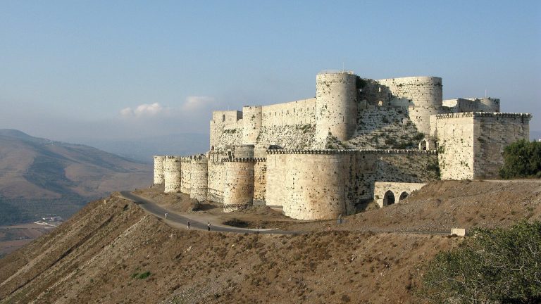
The fortress remained under Bohemond IV’s successors until the Mamluks captured it in 1271. The Mamluks were a military ruling class whose sultanate governed Egypt and Syria; their sultan, Baybars, had recently taken Krak des Chevaliers. Baybars personally led the march toward Gibelacar on 28 April, but moving siege engines through the surrounding mountain forests proved difficult. Bombardment began on 2 May. A Mamluk commander, Rukn al-Din al-Mankurus al-Dawadari, was killed by a Crusader projectile while praying. The defenders surrendered on 11 May in return for safe passage to Tripoli, and the Mamluks strengthened the fortress.
Sayfa family and abandonment
In the 1520s, Yusuf Sayfa or members of his family established themselves at Gibelacar, then the fortified center of a village. The family was initially subordinate to the Shu’aybs, lords of Arqa, and later to the Assafs, Turkmen lords of Ghazir. From 1579, Sayfa leaders served the Ottomans as governors and tax farmers, officials who paid for the right to collect specified taxes, in Tripoli and its districts.
In 1579, Yusuf Sayfa became governor of the newly created Ottoman province of Tripoli. His knowledge of local chiefs and the relatively easy route from the Syrian interior through the Homs Gap helped make him a suitable choice. The same route gave the Ottomans access to intervene if Yusuf or his family defied them. Yusuf grew increasingly independent of the Assafs. In 1585, an imperial Ottoman expedition against the fortress was led by Ja’far Pasha, who had replaced Yusuf as governor. The Sayfas again became financially subordinate to the Assafs, and in 1590 Yusuf arranged the assassination of Muhammad, the last Assaf chief.
Fakhr al-Din II, a ruler of the Ma’n dynasty of Mount Lebanon, partially destroyed the fortress in 1620. Gibelacar was abandoned by the mid-17th century as the Sayfa family weakened. The French historian Paul Deschamps visited and briefly described the site in the late 1920s. A systematic survey took place in 1999, and its findings were published in 2000.
Remains
Ridge and precincts
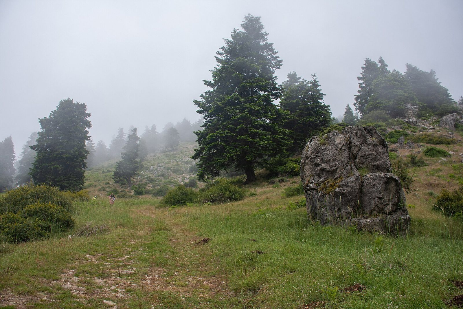
The limestone fortress extends along a narrow ridge on the northern slopes of the Mount Lebanon range, at roughly 800 metres above sea level. The ridge is about 200 metres long and no more than 70 metres wide, between ravines carrying tributaries of the Nahr Akkar. Its position commanded the mountain approach, routes linking Tripoli with Homs and the Bekaa, and the coastal plain to the west. Walls enclosed the site, using the steep slopes on its eastern and western sides as part of its defenses. A shallow ditch divides the northern and southern precincts, also described as the lower and upper areas. The lower precinct descends gradually in broad steps. At the southern boundary, a ditch cut into the rock separates the fortress from the ridge beyond; a second, deep ditch in bedrock lies between the south-facing side of the main tower and the ridge.
Main tower
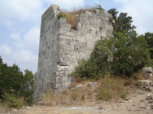
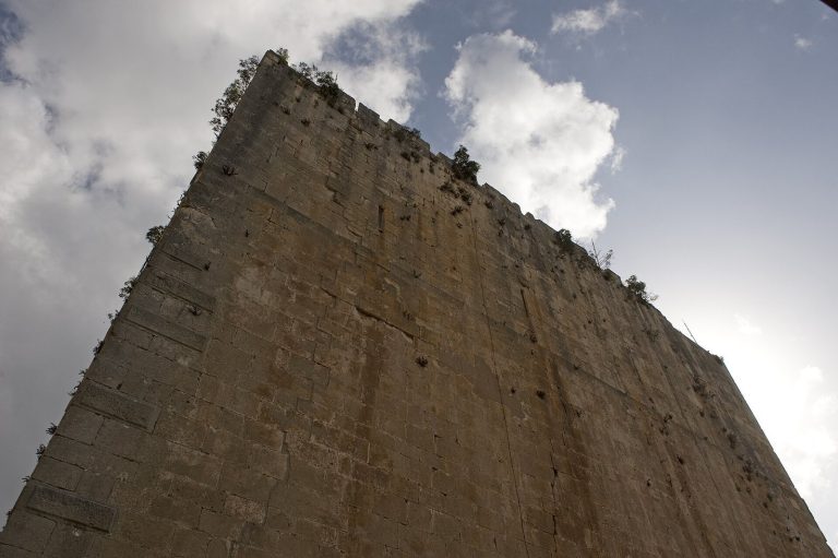
The upper precinct’s main tower stands at the southern end, near the fortress’s vulnerable point, and survives almost to its full height. Its base measures about 13 by 13 metres. A sloping foundation of dressed stone covers the bedrock and supports the tower on three sides. The entrance is set into the north face, about three metres above the fortified courtyard. Carved leopard emblems associated with Baybars survive in the upper courses on the southern and eastern sides; they may once have continued around the tower’s top. From the tower, observers could see the northern mountain fortresses of Krak des Chevaliers, Chastel Blanc, and Arima. The fortresses communicated directly by fire and smoke signals.
Walls and entrances
Sections of the defensive walls include five square watchtowers: four along the eastern wall and one near the middle of the western wall. The entrance to the northern precinct lies on its eastern side, at the end of a curving approach. A fortified tower protects it, with a base at least as large as the main tower’s. Fortifications at the northern end, where the ridge has a gentler slope, are attributed to Mamluk-period renovations.
Buildings, cisterns, and courtyard
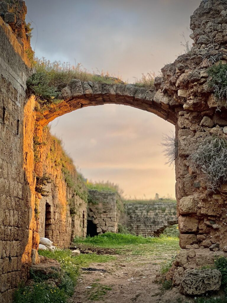
Vaulted buildings stand beside the walls in both precincts. Several cisterns collected runoff from the roofs of the towers and the upper precinct. The lower precinct was chiefly a large enclosed courtyard used for military assembly and as a refuge for people from nearby settlements in emergencies.